Trail Overview
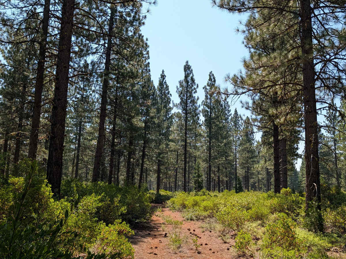
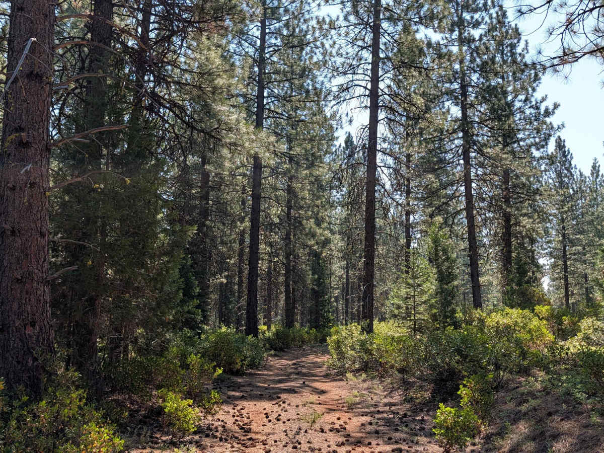
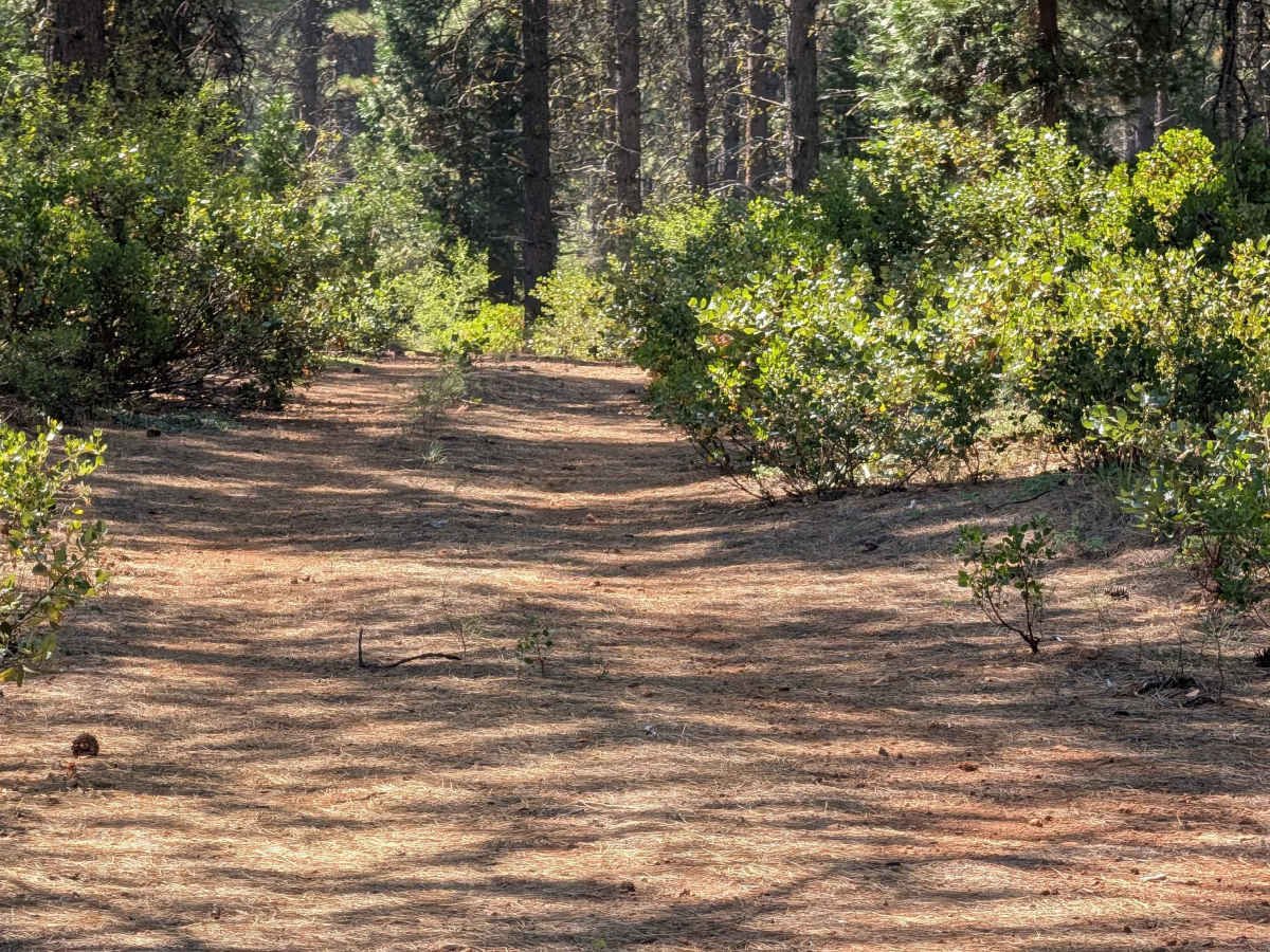
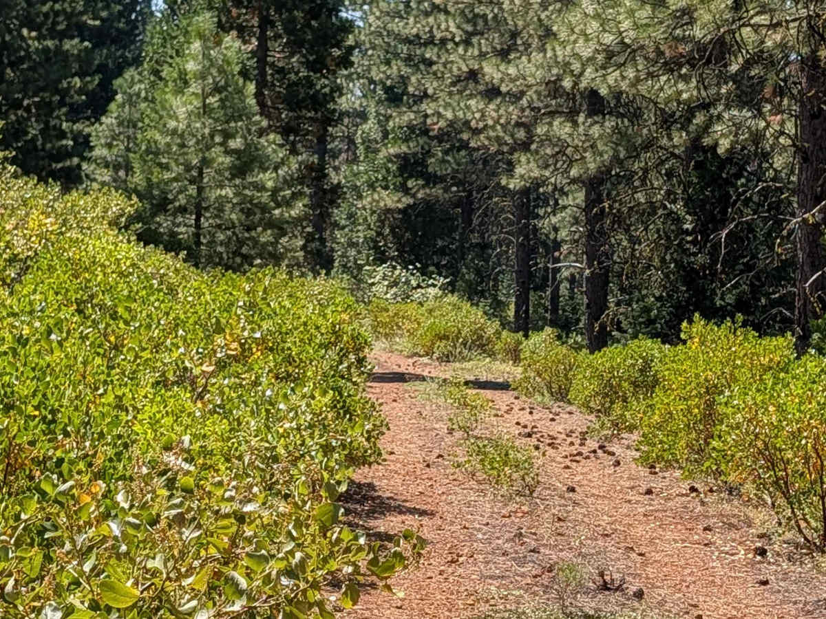
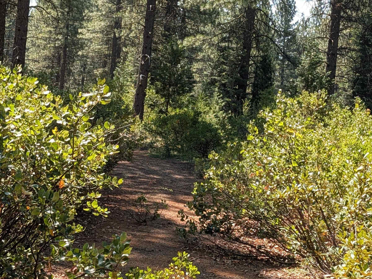
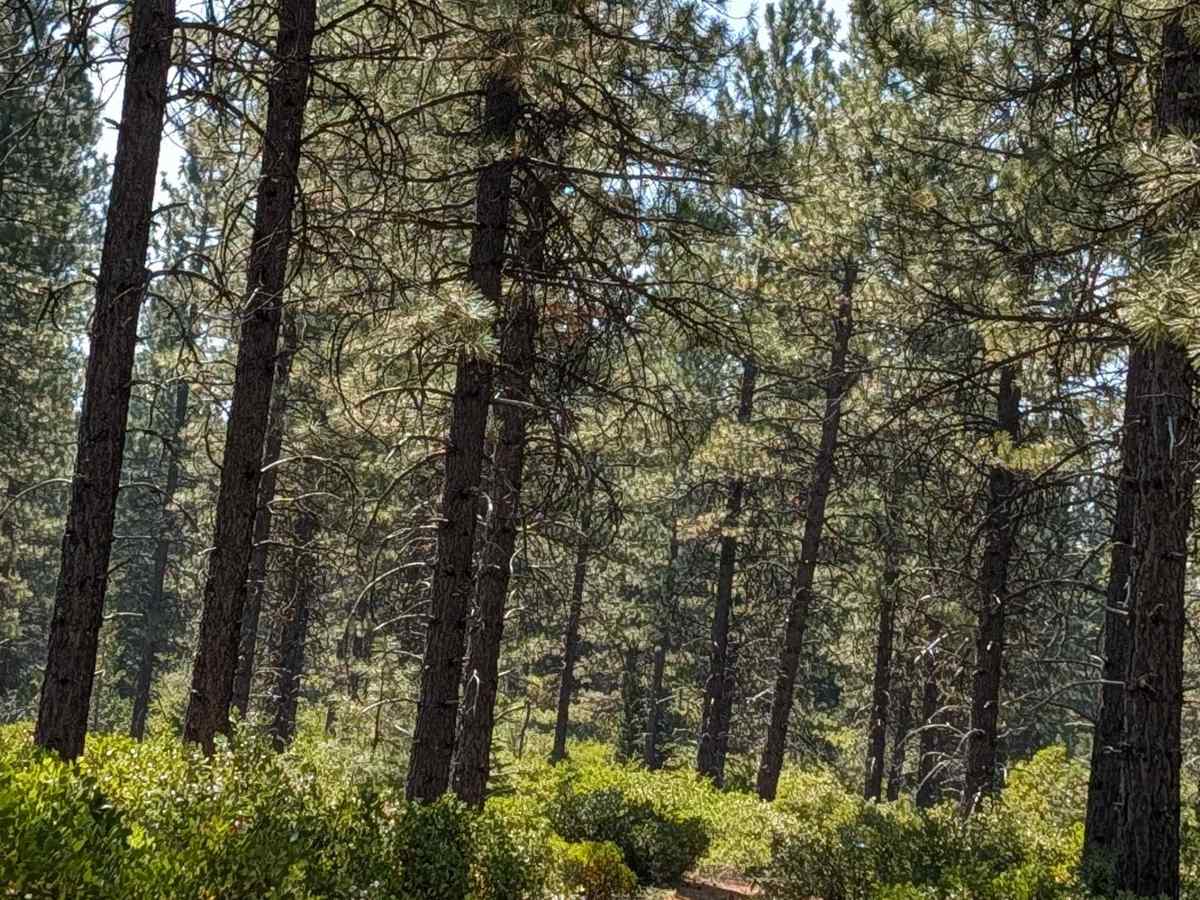
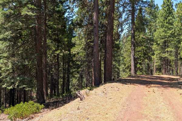
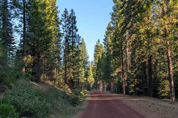
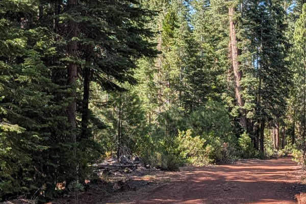
This 1.6-mile point-to-point trail connects Red Cinder - FS 41N35Y with Stud Hill North and South, making it a handy way to get from one side to the other. This is a shorter east-to-west route called Porcupine Butte, not to be confused with the longer north-to-south route sharing a similar name and also known as Lava Spur - 41N36. The surface is dusty dirt covered with dried pine cones and pine needles, with some gravel and small rocks mixed in, and becomes very dusty at times. Ground cover consists of short bushes and numerous large manzanita bushes, with spaced-out pine trees typical of the new growth areas within the Shasta National Forest. The taller trees provide welcome shade in the summer. The road is one vehicle wide, and manzanita bushes encroach into the path, so expect pinstripes. A couple of small cut trees require maneuvering around, and a few low-hanging branches could pose an issue for taller vehicles. Not many dispersed camping opportunities exist here due to the heavy vegetation.