Porcupine Lake Spur C - FS 41N01C

Total Miles2.2
Technical Rating
2Easy
Best TimeFall, Summer, Spring
Trail TypeFull-Width Road
Accessible By
Open Trail Map

Trail Overview

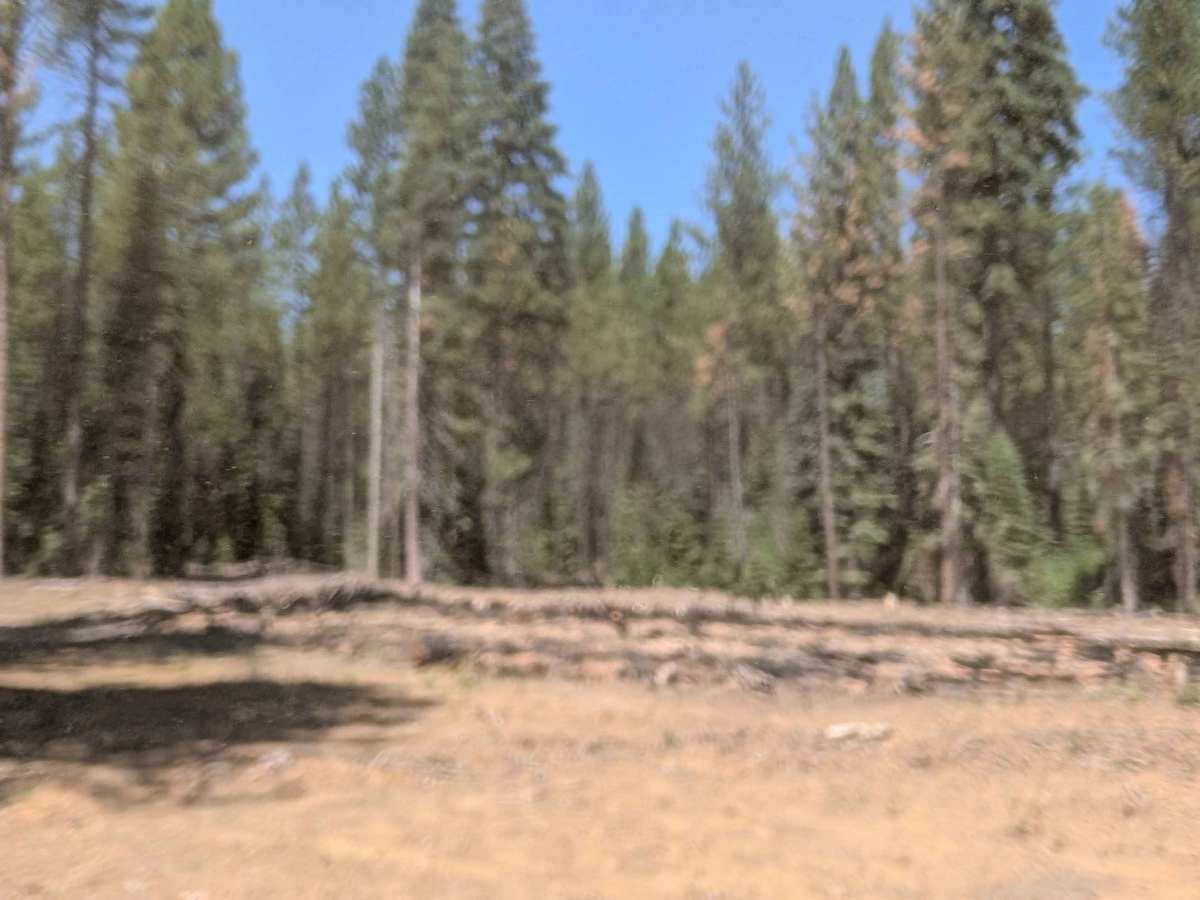
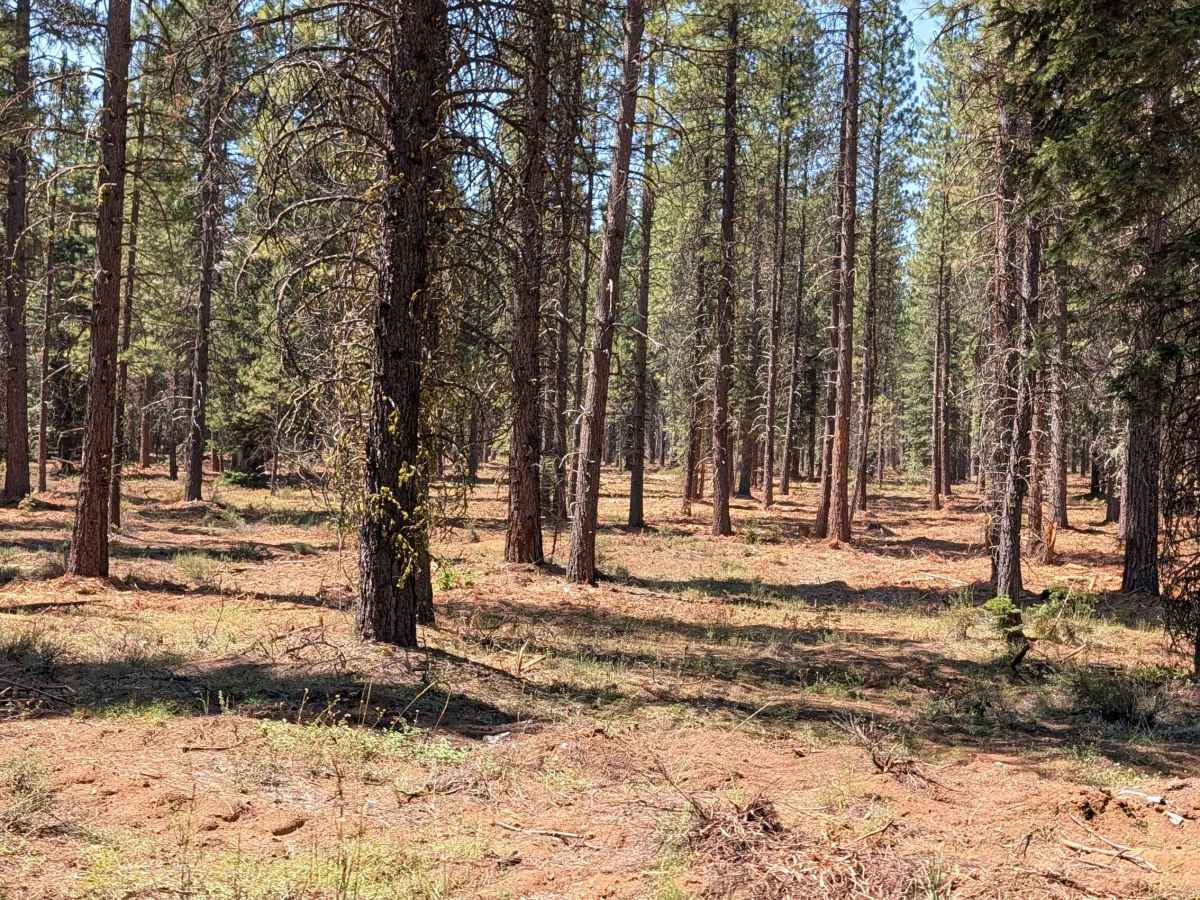
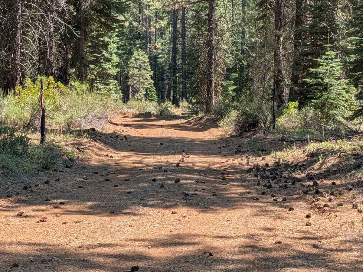
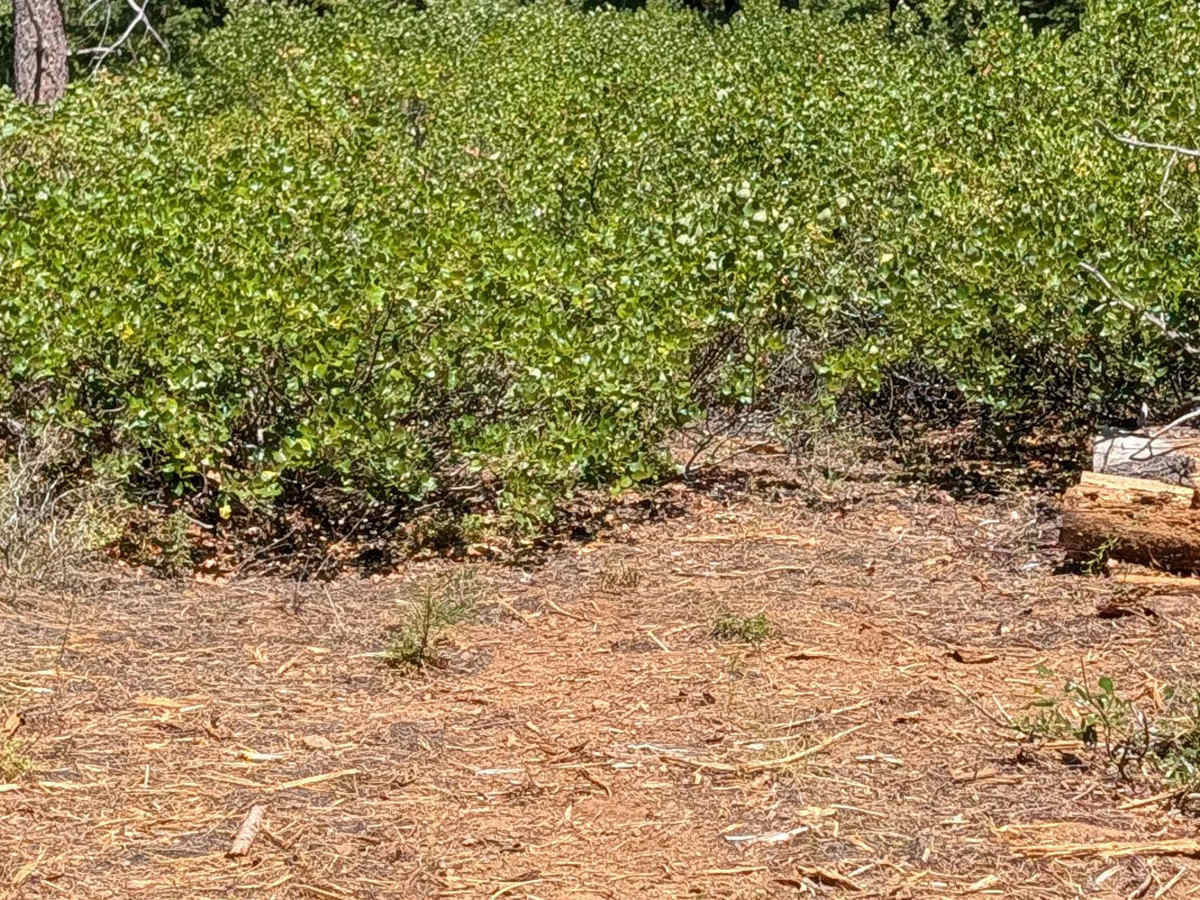
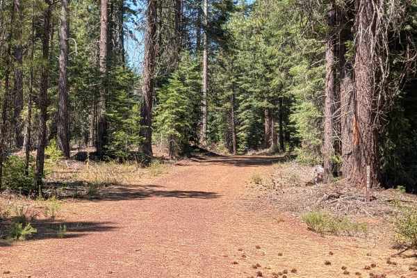
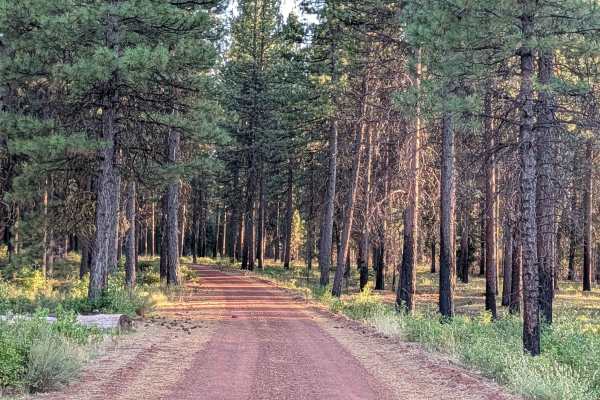
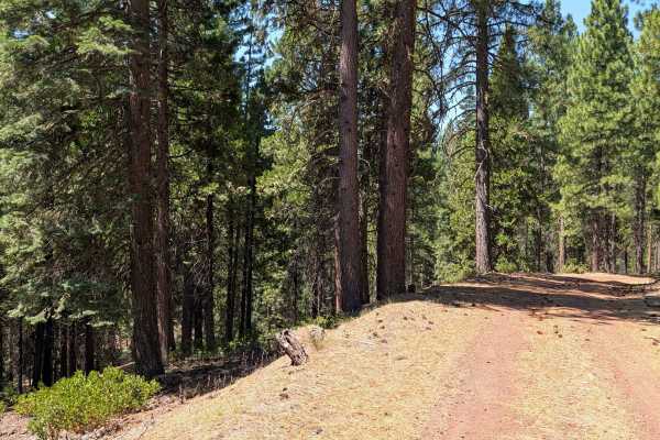
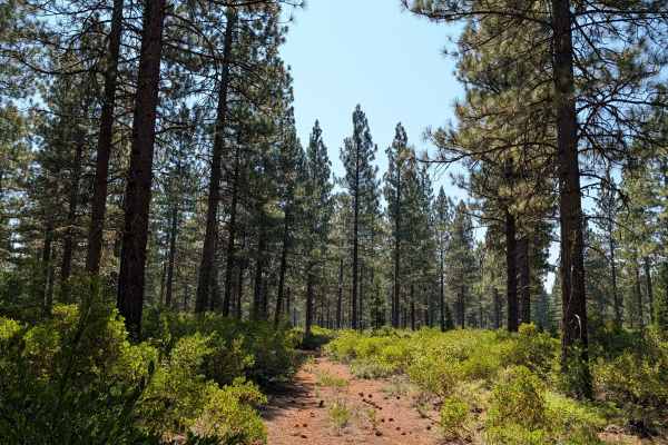
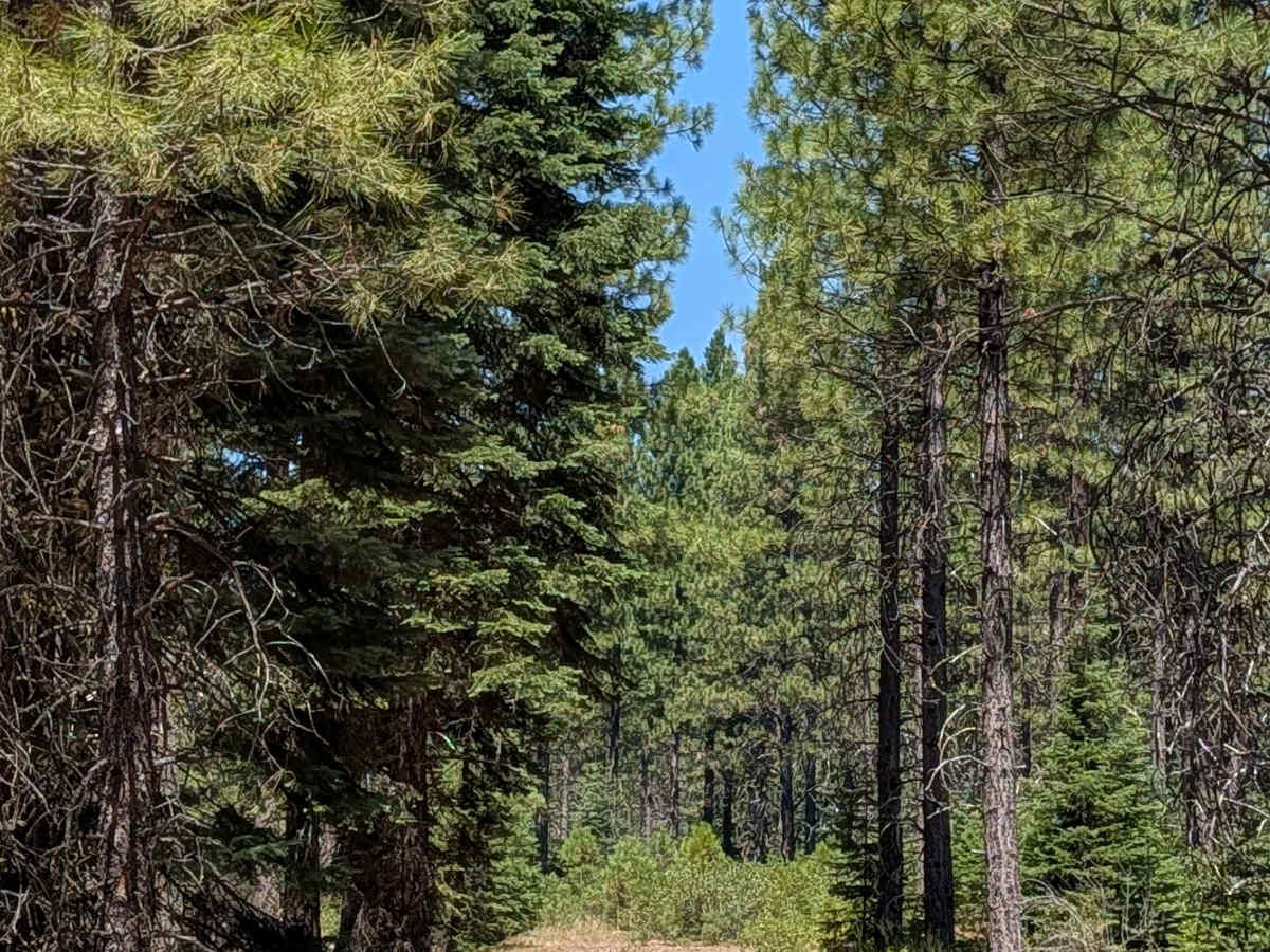
This 2-mile out-and-back spur route starts and ends on Porcupine Lake - FS 41N01. The road runs just over one vehicle wide, made up of dusty dirt covered with dried pine cones and pine needles, surrounded by thick young to medium-aged pine trees within the Shasta National Forest. Evidence of forest service thinning is visible along the way, helping with fire mitigation efforts on the ground coverage and trees. One side of the route, however, still has overgrown manzanita bushes, and the very end of the road has been swallowed up by this growth. Drivers will need to go around some small fallen trees along the route.

Photos of Porcupine Lake Spur C - FS 41N01C

Difficulty

This trail carries an easy difficulty rating of 1, with navigating around a few small fallen trees being the only notable consideration along this short spur.

Technical Rating

2

Porcupine Lake Spur C - FS 41N01C Trail can be accessed by the following ride types:

  • Single Track
  • 50 Inch
  • 60 Inch
  • High Clearance
  • Full Width

Porcupine Lake Spur C - FS 41N01C Map

The onX Offroad Difference

onX Offroad combines trail photos, descriptions, difficulty ratings, width restrictions, seasonality, and more in a user-friendly interface. Available on all devices, with offline access and full compatibility with CarPlay and Android Auto. Discover what you're missing today!

Open Trail Map