Red Cinder - FS 41N35Y

Total Miles2.5
Technical Rating
2Easy
Best TimeFall, Summer, Spring
Trail TypeFull-Width Road
Accessible By
Open Trail Map

Trail Overview

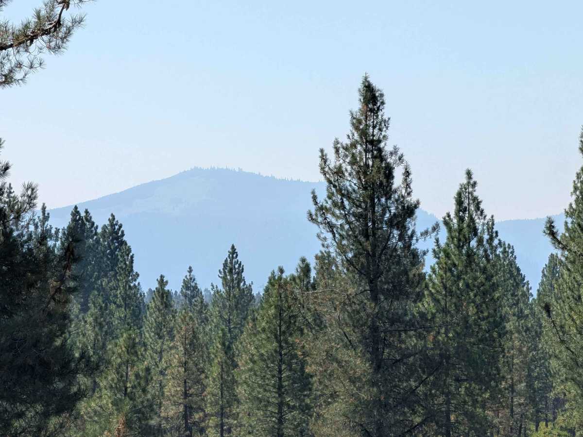
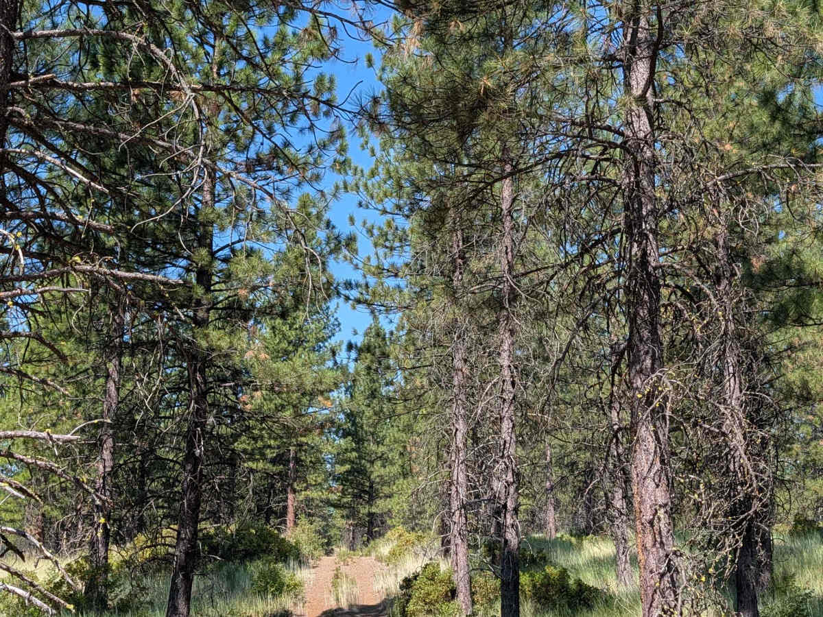
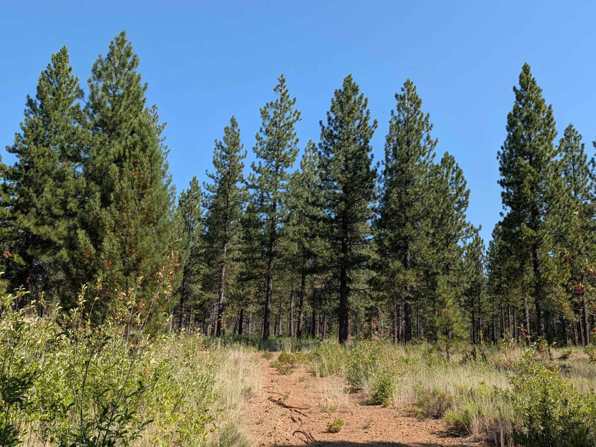
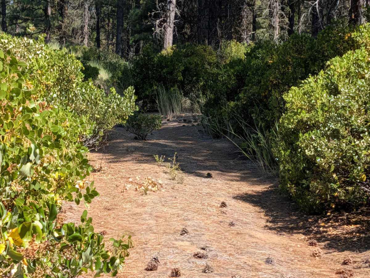
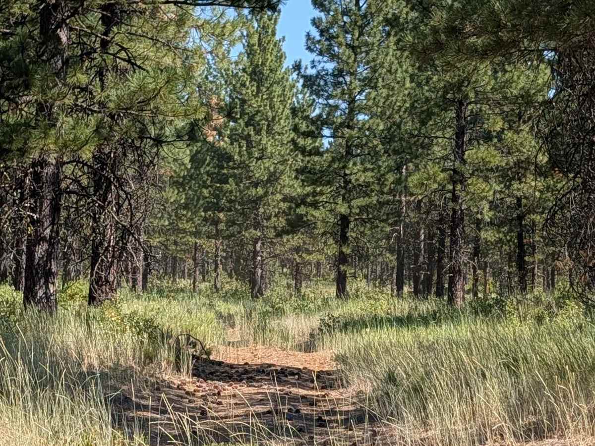
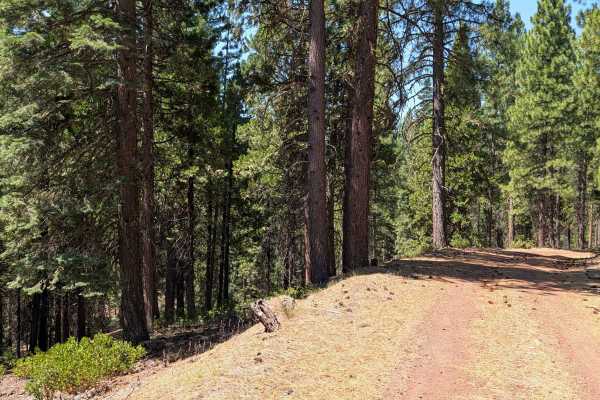
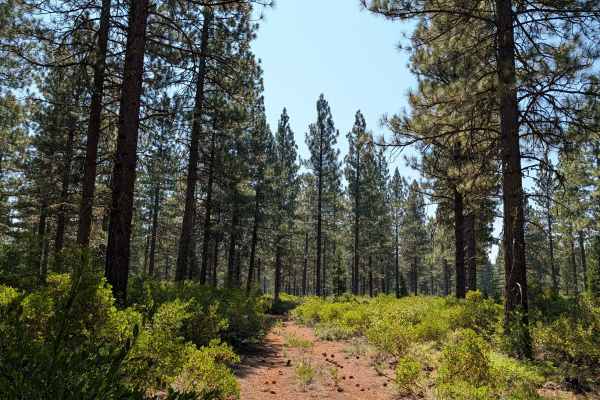
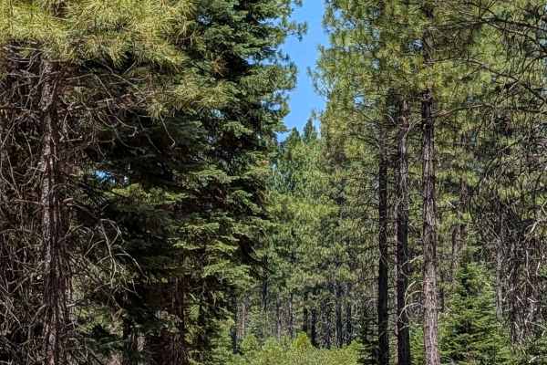
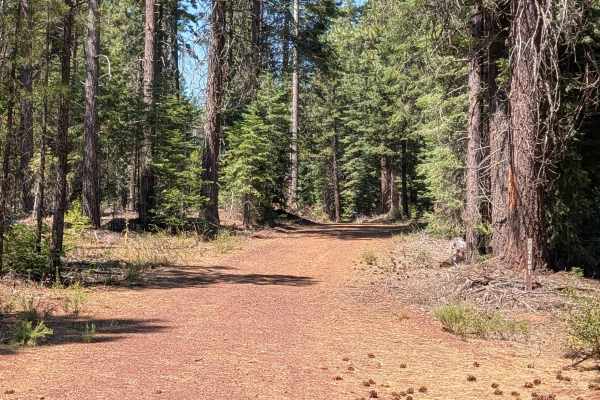
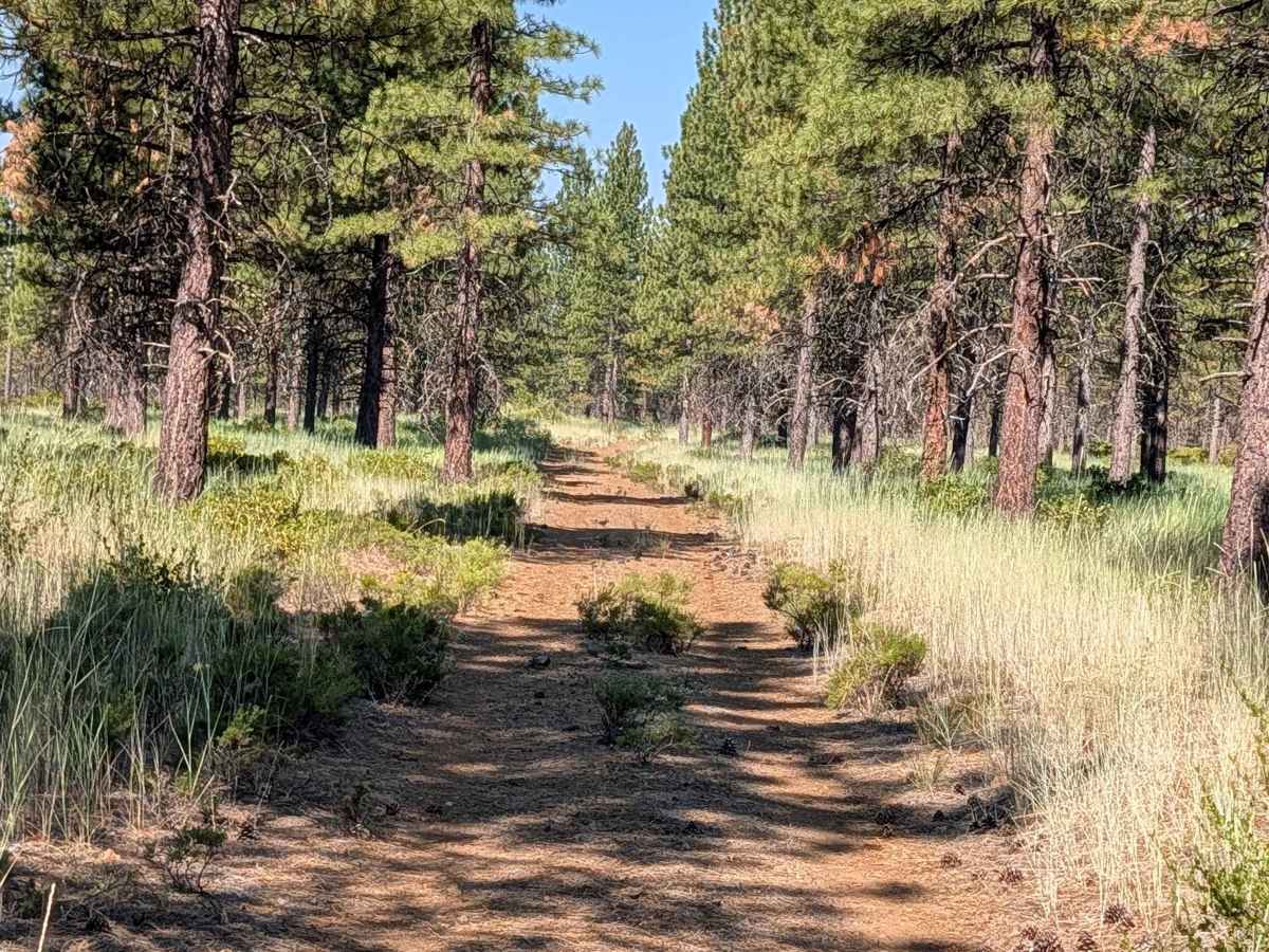
This 2.5-mile point-to-point trail connects Stud Hill North - FS 42N26 with Porcupine - FS 42N46, climbing almost 200 feet and dropping almost 100 feet, just enough elevation change to offer some views of the surrounding mountains in the distance. The route travels through new-growth pine forest within the Shasta National Forest, where the trees are more spaced out, and the ground cover consists of tall grasses, bitter brush, and some manzanita bushes. The surface is hard-packed dirt covered with dried pine cones and pine needles, with some gravel and small rocks mixed in, and becomes very dusty at times. Overgrown grass and other vegetation fill portions of the median. Near the apex of the trail, small volcanic rocks appear, and the surface becomes more sandy, in what looks like an old clear-cut logging area now taken over by manzanita bushes and tall grasses. One large fallen tree creates a tight squeeze along the route, and wider vehicles may need to drive over part of it.

Photos of Red Cinder - FS 41N35Y

Difficulty

This trail carries an easy difficulty rating of 2, with a tight squeeze around a large fallen tree and a sandy, rocky section near the apex presenting the main challenges along the route.

Technical Rating

2

Red Cinder - FS 41N35Y Trail can be accessed by the following ride types:

  • Single Track
  • 50 Inch
  • 60 Inch
  • High Clearance
  • Full Width

Red Cinder - FS 41N35Y Map

The onX Offroad Difference

onX Offroad combines trail photos, descriptions, difficulty ratings, width restrictions, seasonality, and more in a user-friendly interface. Available on all devices, with offline access and full compatibility with CarPlay and Android Auto. Discover what you're missing today!

Open Trail Map