Trail Overview
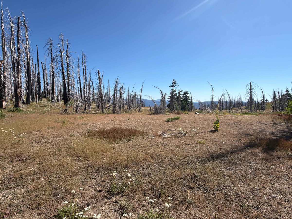
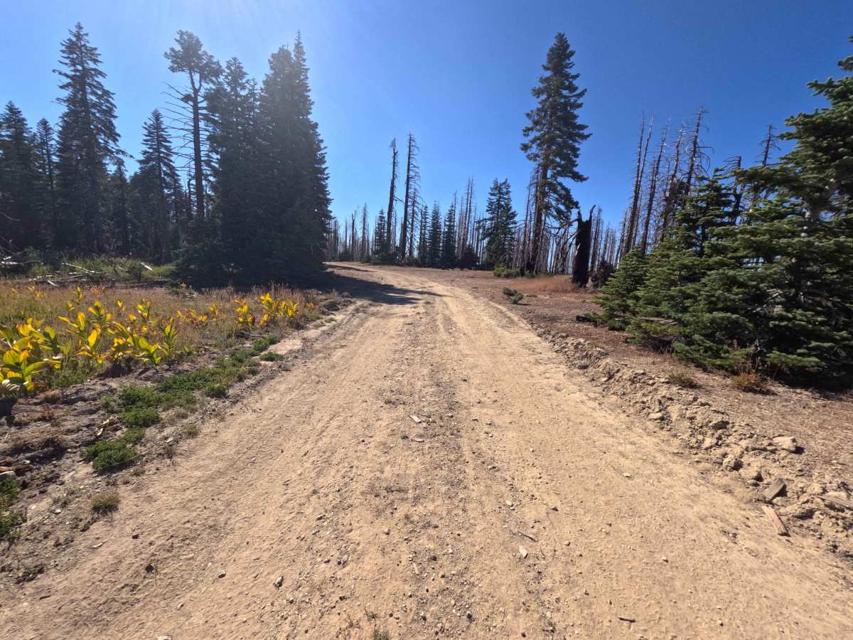
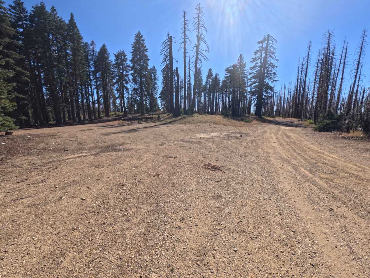
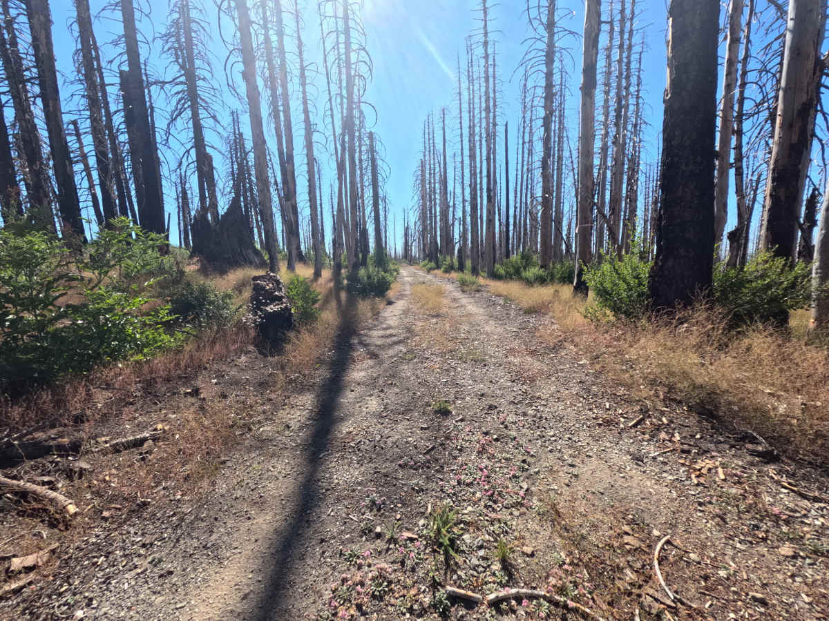
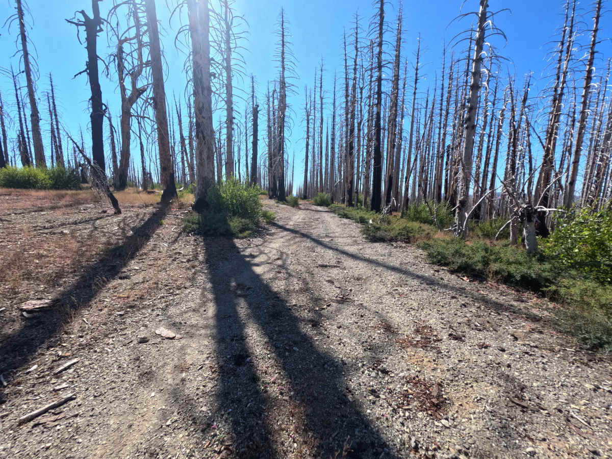
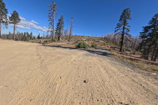
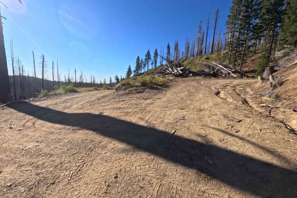
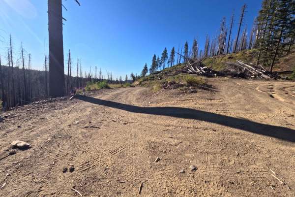
Departing directly from Forest Highway 7, Telephone - FS 22N27 is an intriguing, high-elevation out-and-back mountain spur that traces a lofty ridgeline. Located within Mendocino National Forest, the surrounding landscape consists of standing burn snags and recovering vegetation from the 2020 August Complex Fire, periodically opening into sunny mountain meadows with expansive, unhindered views across distant valleys. Consisting of a narrow single-track dirt surface that contours along steep mountain drop-offs, this route holds a Technical Rating of 2. Spacious dispersed campsites sit near the initial turnoff under towering pines, though travelers should remain mindful of overhead burned timber. Past the 0.6-mile mark, the road inclines on an off-camber slope along a shelf edge where maintaining steady momentum and keeping tires strictly within established tracks is essential, particularly when damp soil makes the surface slippery. The path concludes abruptly at 1.1 miles at a massive fallen log spanning the roadway. Off-road travelers frequently explore this scenic ridge spur to secure quiet backcountry camp spots or enjoy dramatic, high-country panoramic views.
Difficulty
Earning a Technical Rating of 2, this narrow dirt spur navigates elevated mountain terrain with notable off-camber sections along steep side slopes. Beyond 0.6 miles, the single-lane track tilts sideways along an exposed ridge edge where precise steering and careful tire placement are required to prevent sliding, making traversal unadvisable during wet weather or heavy rainfall. Standing dead trees along the route present potential widowmaker hazards during windy conditions, and the trail ends at 1.1 miles where a large fallen trunk completely blocks forward progress.