Trail Overview
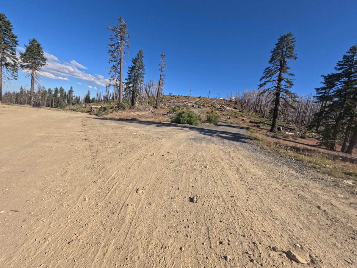
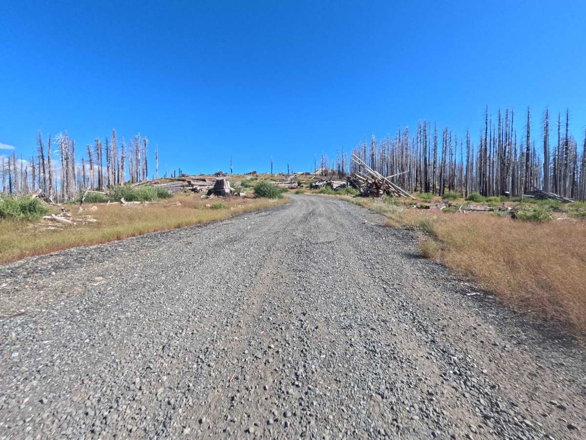
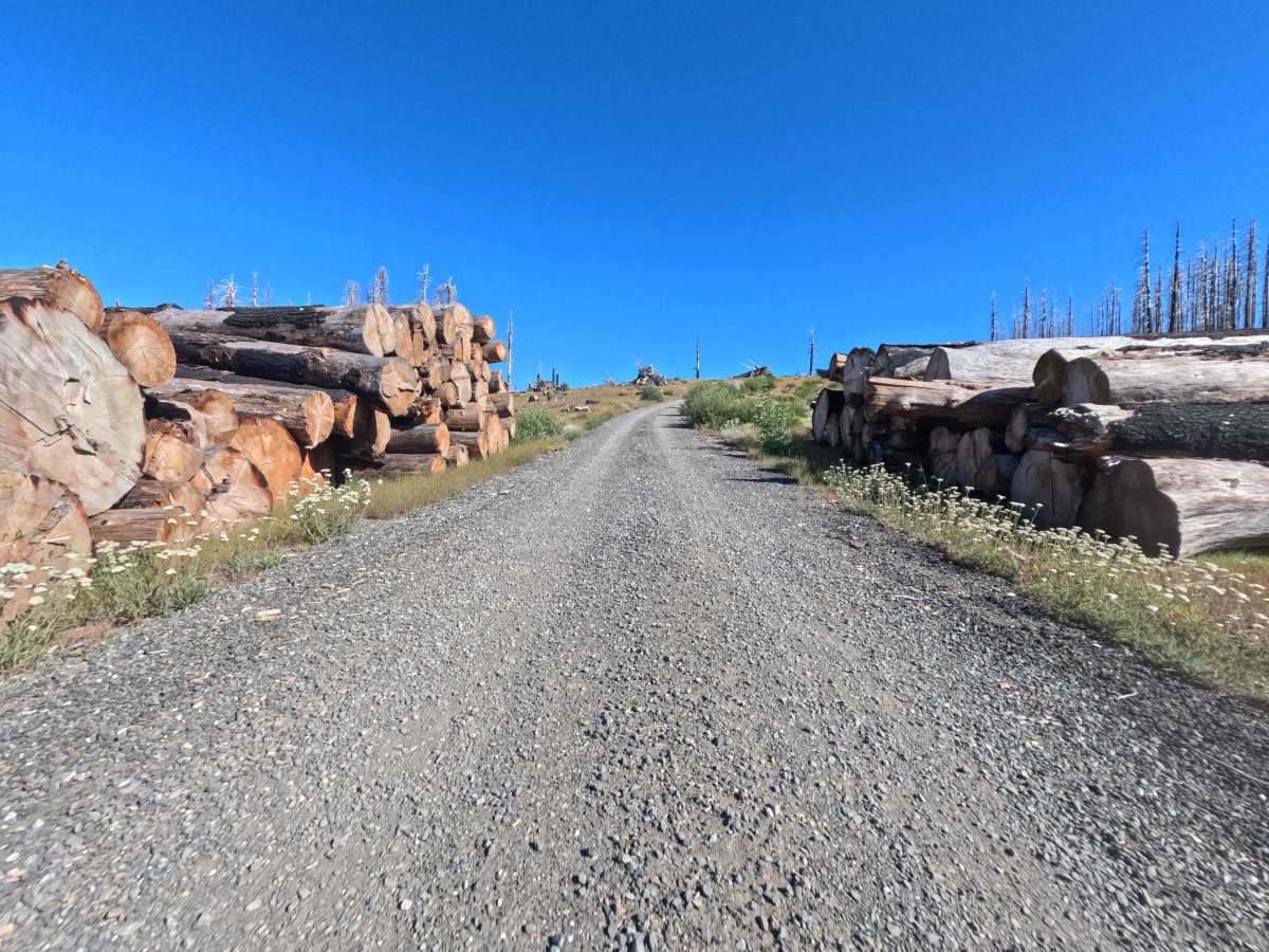
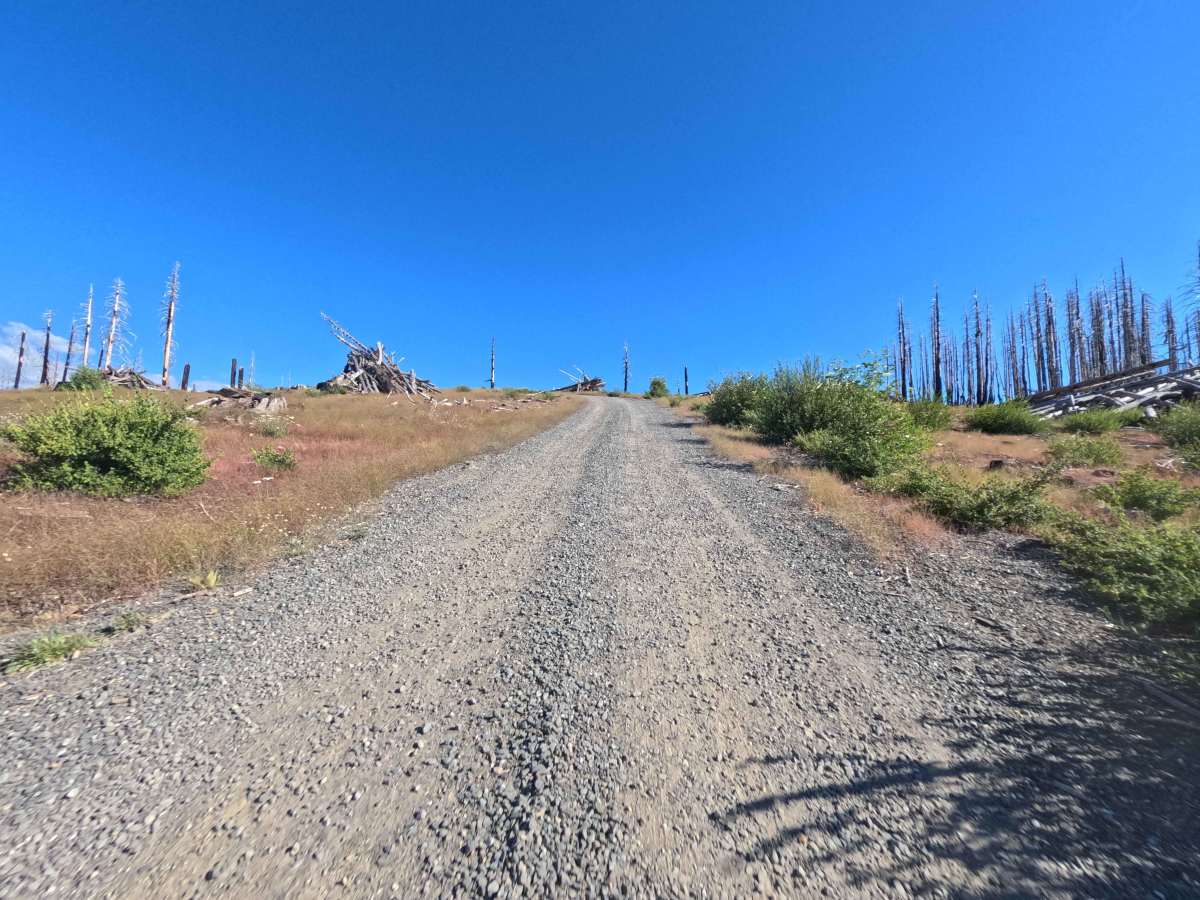
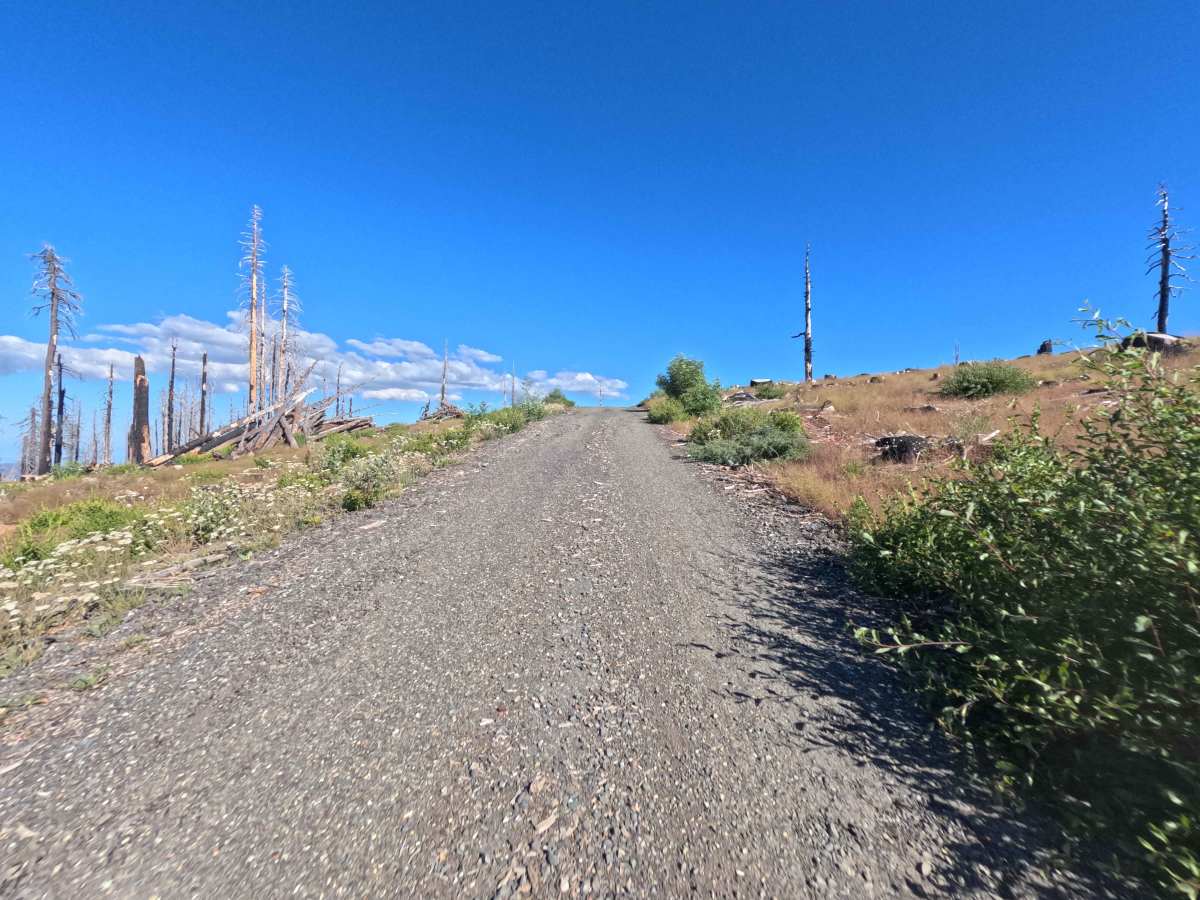
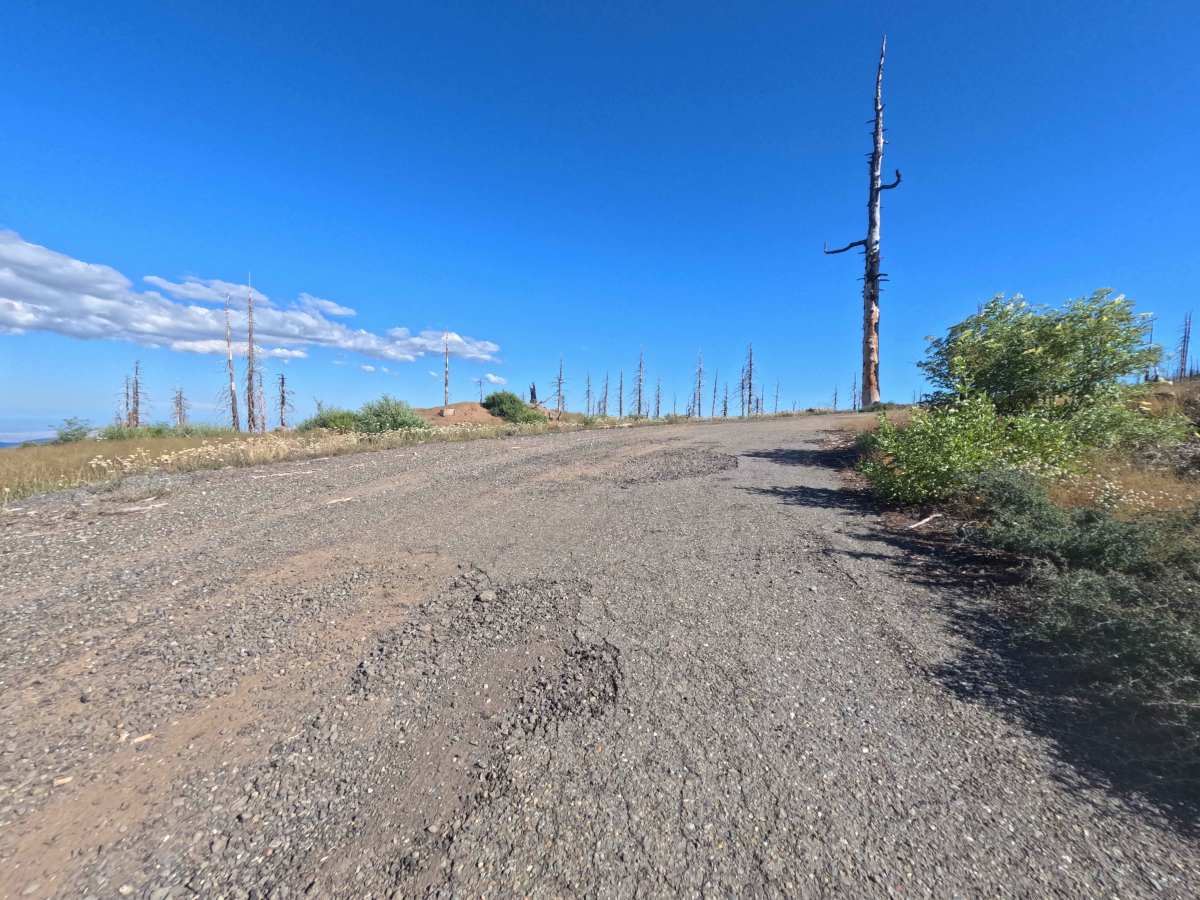
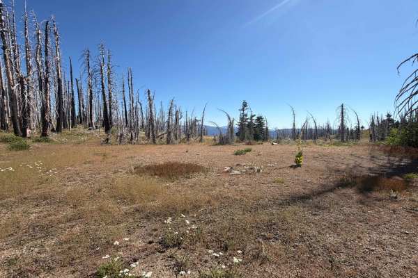
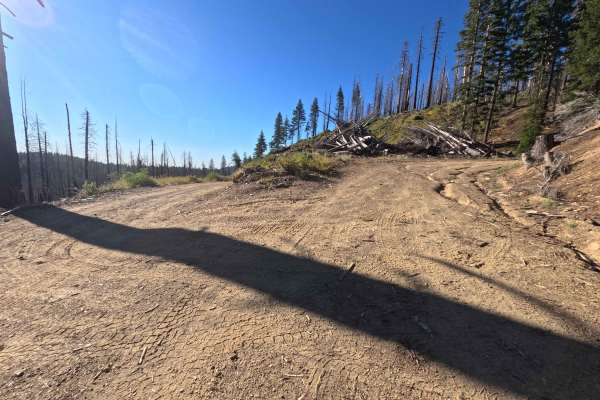
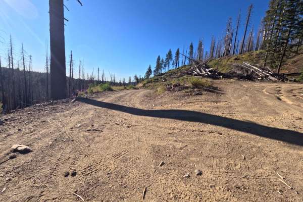
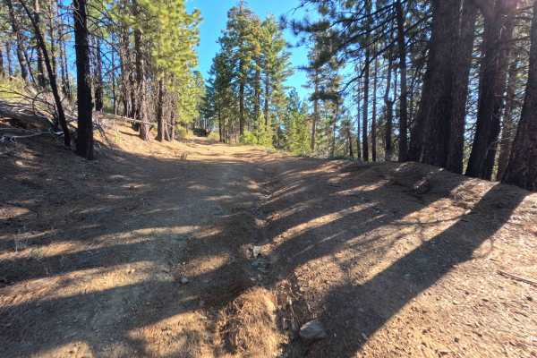
Branching off Forest Highway 7, Boundary Road - FS 22N26 is a brief yet rewarding out-and-back summit spur climbing directly toward the base of Black Butte. Located within Mendocino National Forest, the high-altitude landscape showcases vast panoramic ridges recovering from the 2020 August Complex Fire, bordered by towering piles of salvaged timber. This accessible mountain route features a recently graded, single-lane dirt and fine gravel surface that earns a mild Technical Rating of 1. After a quick initial rise past neatly stacked log landings, the road reaches a spacious, wind-swept hilltop campsite at 0.5 miles that boasts stunning 360-degree views across the surrounding wilderness. The path finishes at 0.9 miles following a brief, slightly rocky pitch that terminates at a large downed tree with an ample turnaround area. Outdoor enthusiasts frequently take this short drive to enjoy scenic ridge-top camping, soak in breathtaking mountain vistas, or set off on foot to explore nearby Black Butte.
Difficulty
Earning a gentle Technical Rating of 1, this forest service spur offers a smooth and effortless climb over well-maintained packed dirt and small gravel. The modest uphill gradient presents clear visibility and wide, uncluttered track sections lined with cut log piles. A short, mildly rocky rise near the 0.8-mile mark leads to the final dead-end turnaround, requiring minimal steering adjustments and no specialized ground clearance under standard dry conditions.

 Offroad