Trail Overview
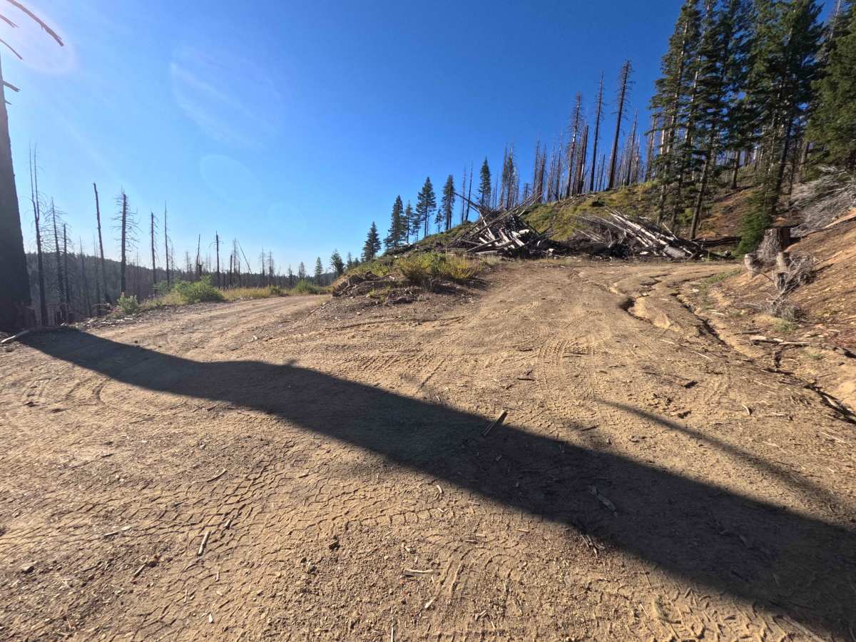
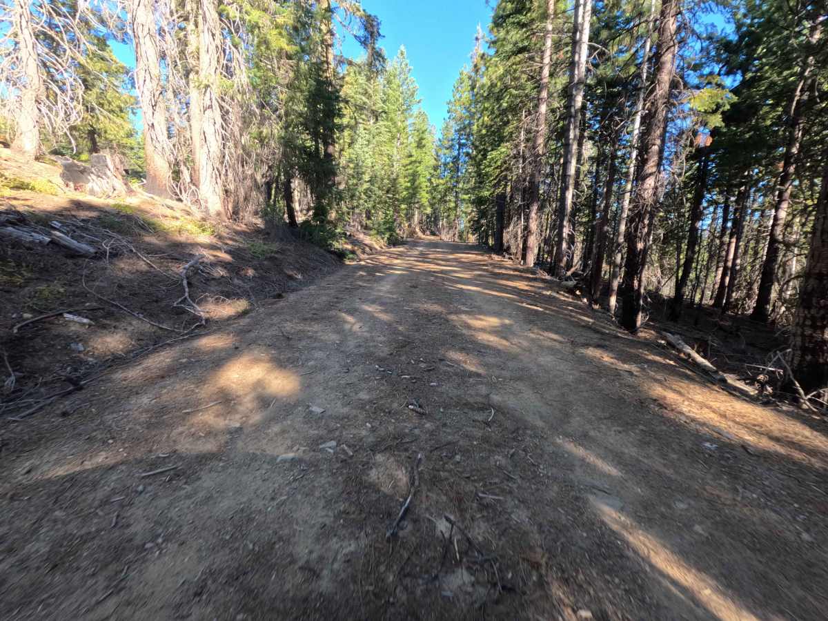
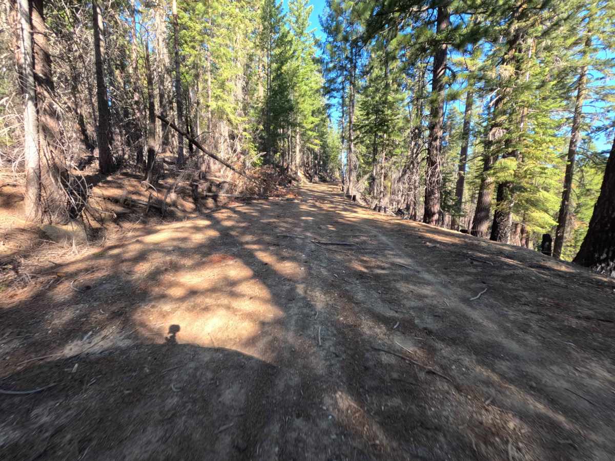
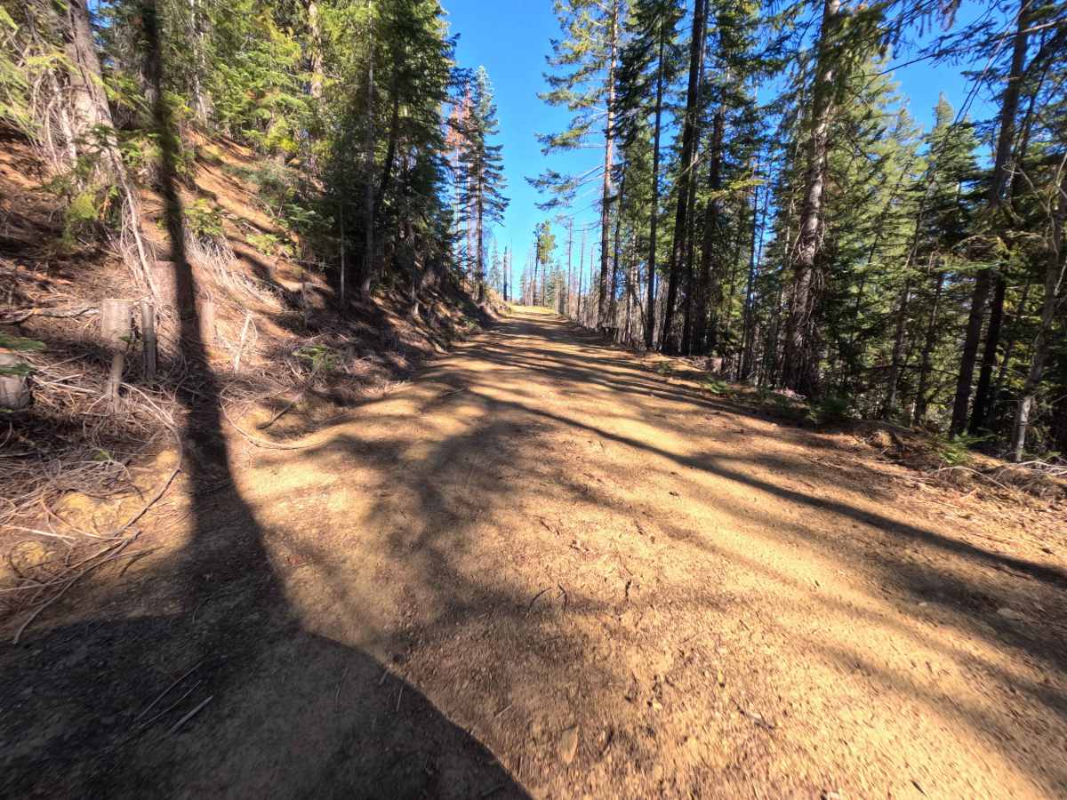
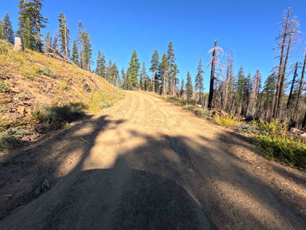
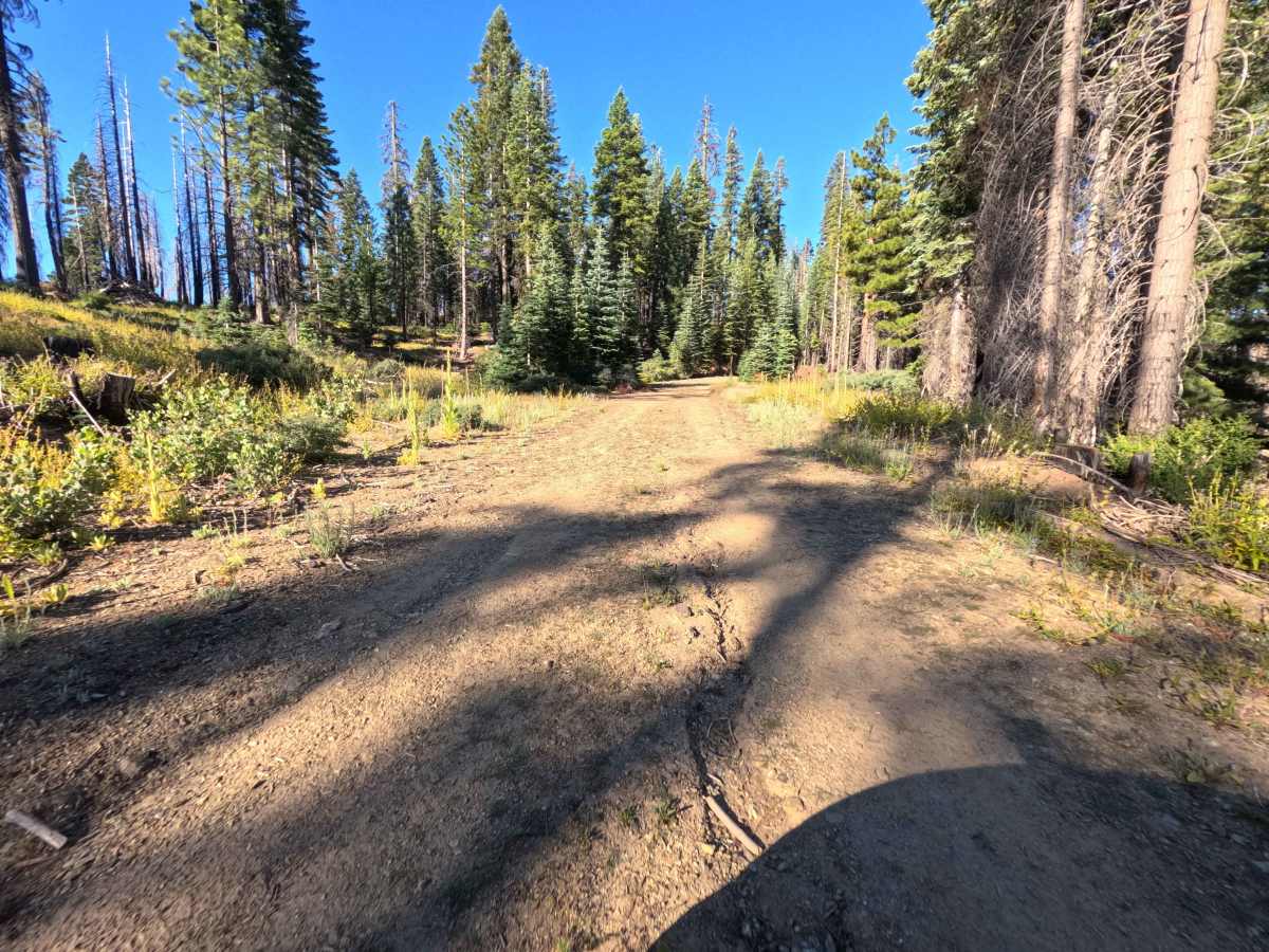
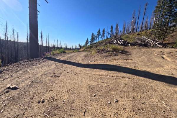
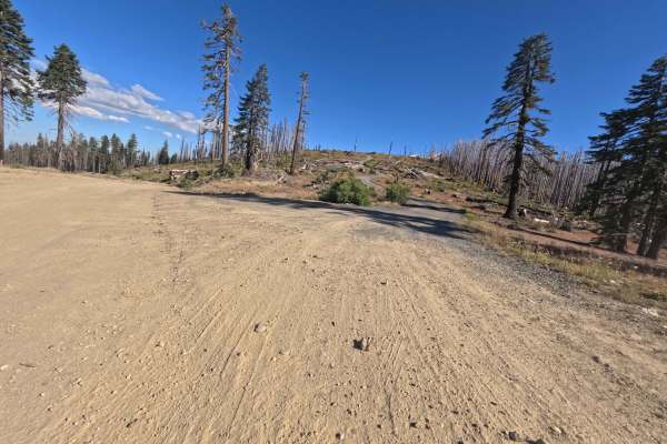
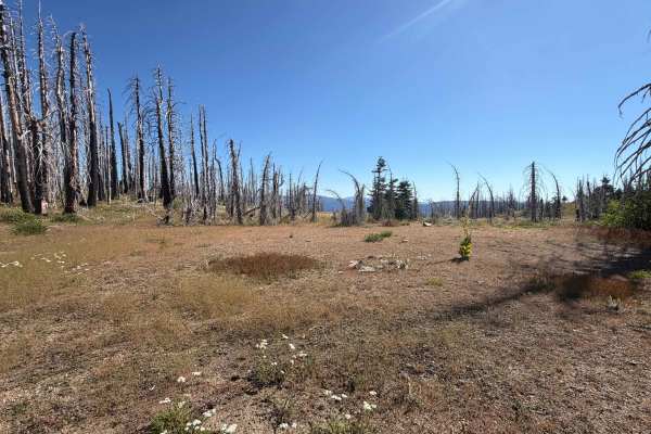
Branching off Snow Basin Creek - FS 22N10, Jenks View - FS 22N54 is a short, out-and-back dirt spur that ascends a timber-strewn ridge within Mendocino National Forest. The surrounding environment consists of a heavily logged burn zone recovering from the 2020 August Complex Fire, where standing snags and stacked slash piles open up broad, sun-exposed views of neighboring mountain peaks. Featuring a Technical Rating of 2, the single-lane route starts as a broad dirt track with mild ruts before gradually ascending the hillside. Around the 1.0-mile mark, dense buckthorn bushes encroach upon the roadbed, creating a narrow brush corridor. The spur terminates abruptly at 1.1 miles at a massive downed log across the pathway. Off-road travelers typically explore this quiet spur to enjoy elevated vistas across the recovering forest or to venture into lesser-visited corners of the backcountry.
Difficulty
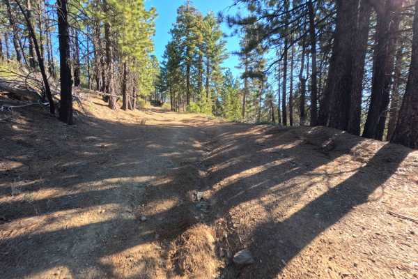
Earning a Technical Rating of 2, this dirt spur presents a moderate incline over unpaved soil with shallow, manageable wheel ruts. While the initial climb offers ample roadway width, thick buckthorn overgrowth past the 1.0-mile mark tightens the corridor significantly, scraping vehicle sides and restricting visibility. The trail ends at 1.1 miles where a large fallen log completely blocks forward motion, forcing drivers to perform a tight turnaround amidst heavy brush.

 Offroad