FS 22N30

Total Miles1.6
Technical Rating
2Easy
Best TimeSpring, Summer, Fall
Trail TypeFull-Width Road
Accessible By
Open Trail Map

Trail Overview

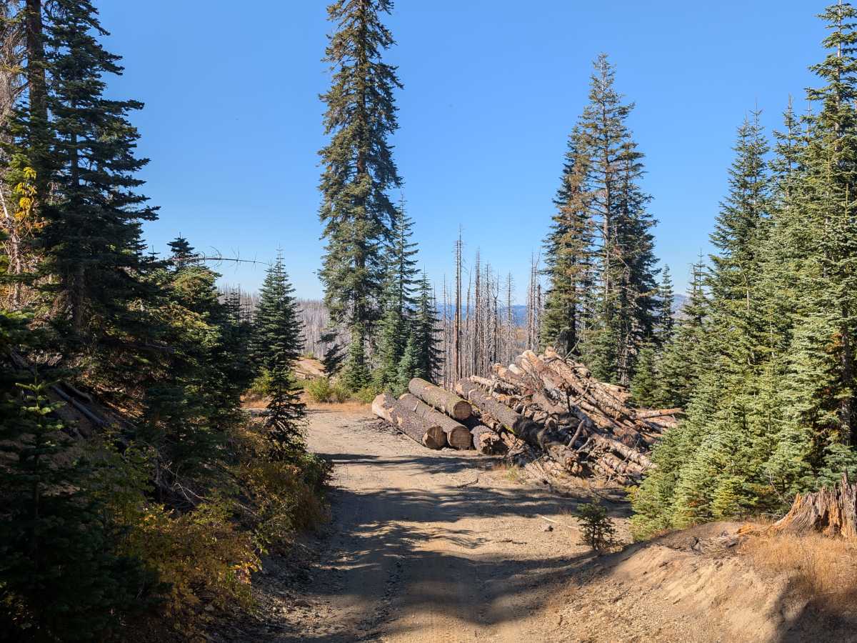
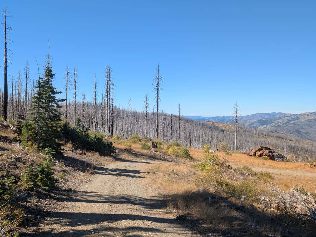
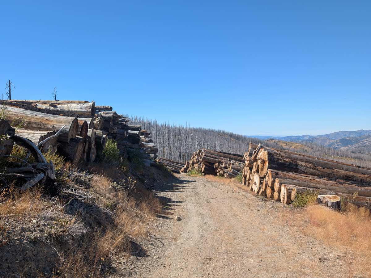
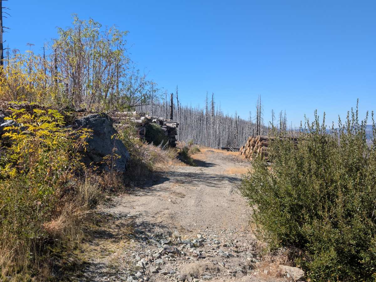
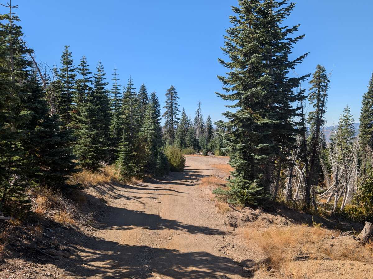
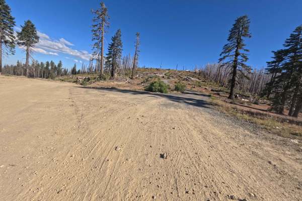
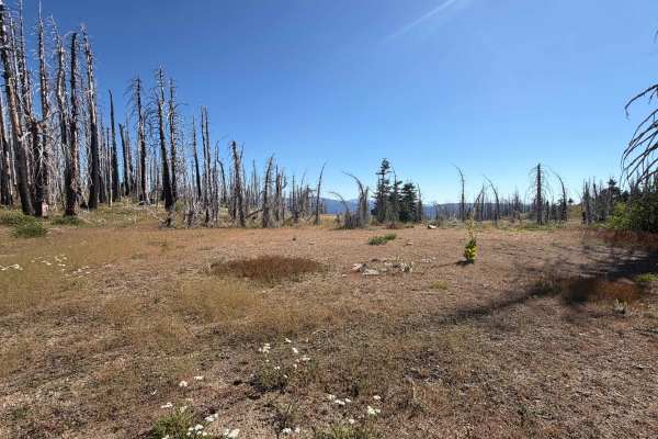
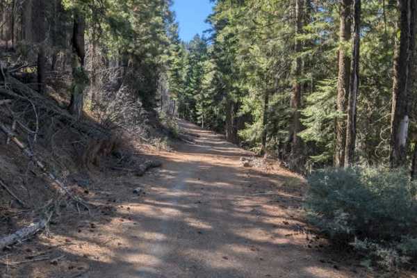
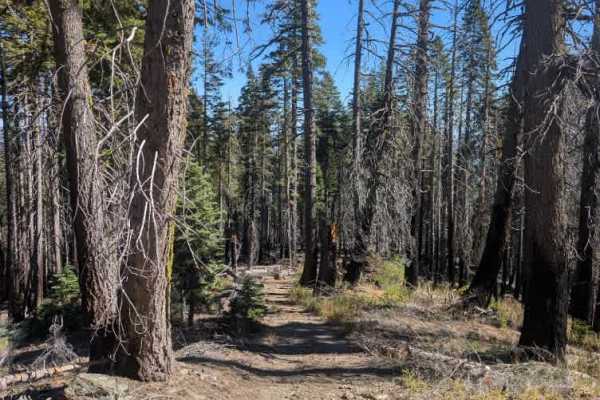
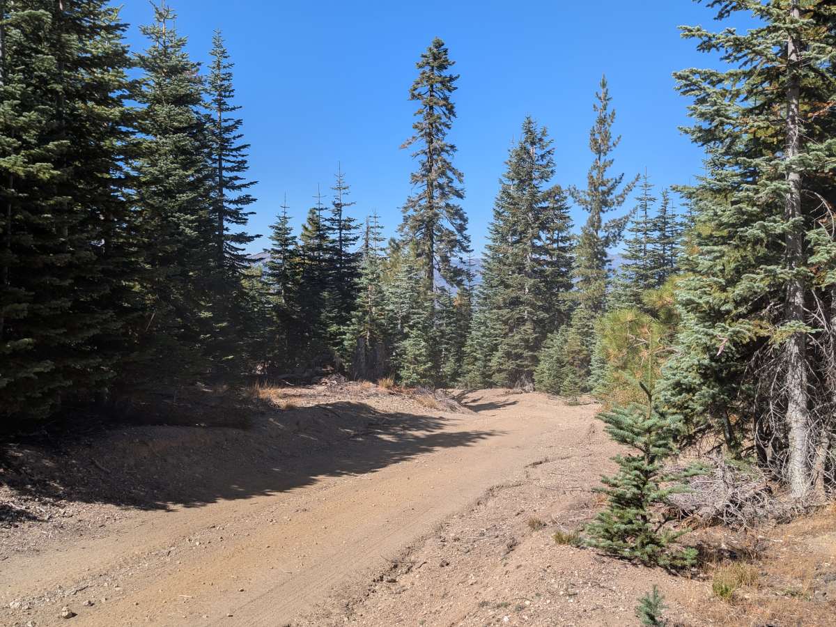
This short trail branches off FS 22N13 and appears well-traveled, with signs of past logging along the route. Several leftover logs and fallen tree trunks are scattered around the area. The road is somewhat rough, with sections of erosion and surface damage caused by rain, but the conditions are generally manageable. At just under a mile long, the trail ends at a turnaround area surrounded by trees and fallen timber. From here, you can look out over the surrounding green forest, making it a pleasant spot to pause before heading back. While the route isn’t particularly challenging or technical, it offers a quiet forest setting and a short side trip for those exploring the nearby trails. ATVs, UTVs, Side-by-Sides, and Dirt Bikes must always have a valid California ATV Operating Permit sticker.

Photos of FS 22N30

Difficulty

The trail is generally easy to navigate, with some erosion and rain damage creating mildly rough sections.

Technical Rating

2

FS 22N30 Trail can be accessed by the following ride types:

  • Single Track
  • 50 Inch
  • 60 Inch
  • High Clearance
  • Full Width

FS 22N30 Map

The onX Offroad Difference

onX Offroad combines trail photos, descriptions, difficulty ratings, width restrictions, seasonality, and more in a user-friendly interface. Available on all devices, with offline access and full compatibility with CarPlay and Android Auto. Discover what you're missing today!

Open Trail Map