FS 22N44

Total Miles1.2
Technical Rating
2Easy
Best TimeSpring, Fall, Summer
Trail TypeFull-Width Road
Accessible By
Open Trail Map

Trail Overview

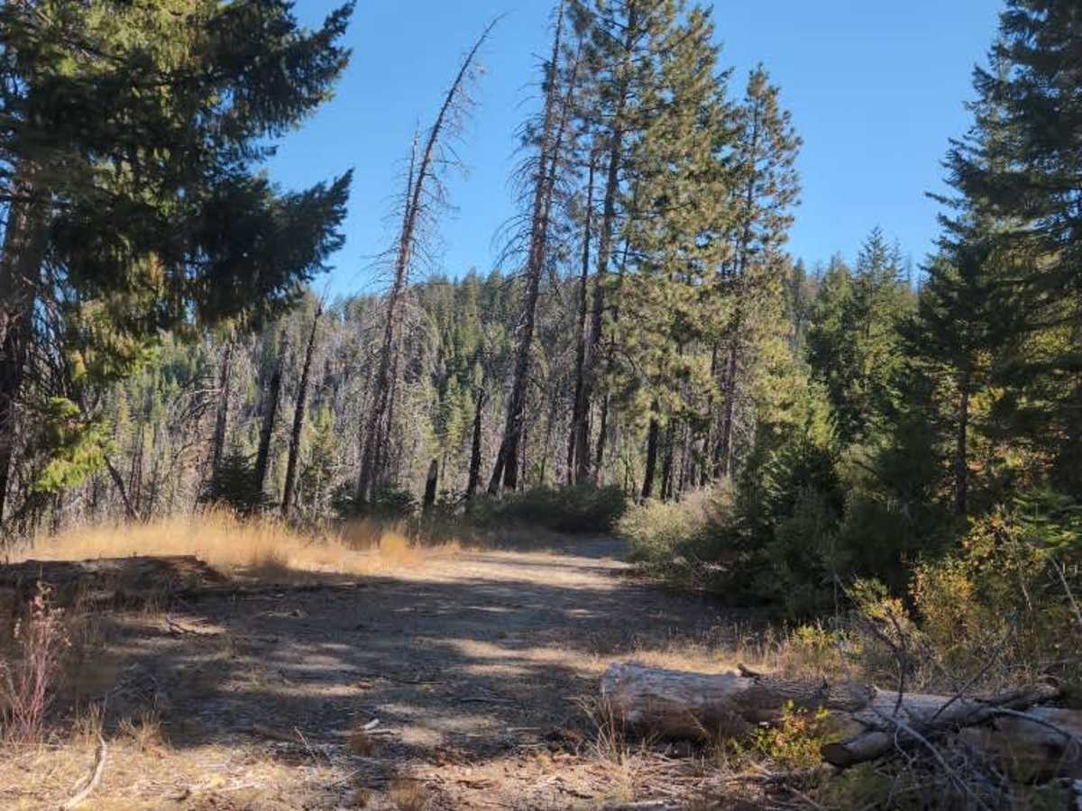
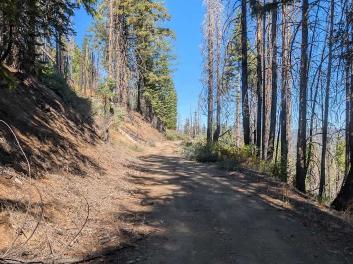
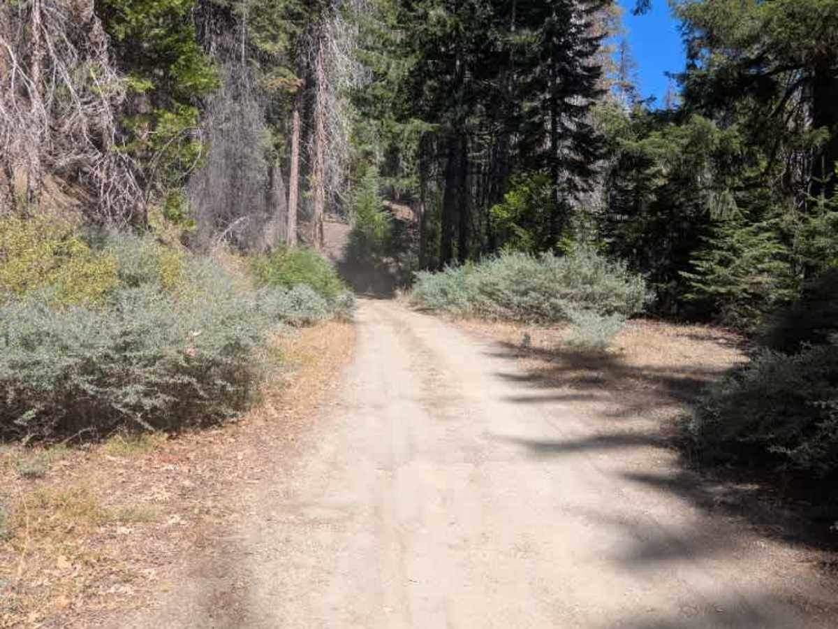
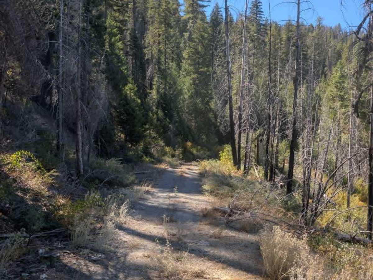
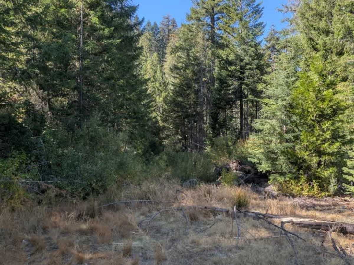
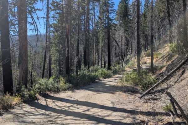
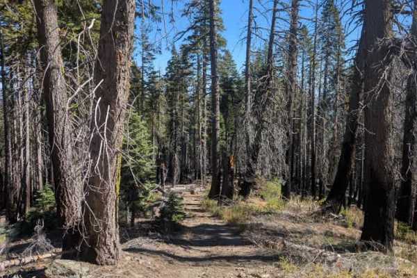
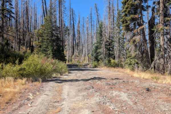
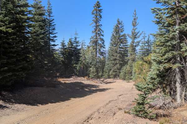
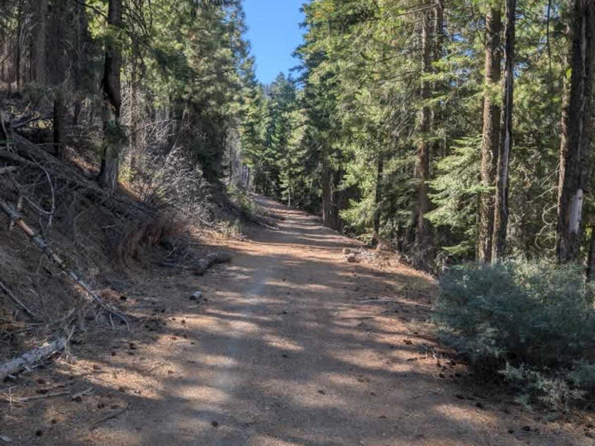
This trail connects two other routes, with a gate at the entrance that looked somewhat overgrown but was open when the trail was mapped in October 2026. Beyond the gate, the trail continues toward its intersection with FS 22N44B. After this junction, conditions gradually deteriorate as the route becomes more overgrown and less maintained. Roughly a mile from the entrance, the trail reaches a heavily overgrown section with a turnaround area where further progress becomes difficult. Be prepared to turn around here rather than attempting to push through the vegetation. ATVs, UTVs, Side-by-Sides, and Dirt Bikes must always have a valid California ATV Operating Permit sticker.

Photos of FS 22N44

Difficulty

The trail has minimal initial challenges, though narrowing clearance and heavy overgrowth require turning around near the endpoint.

Technical Rating

2

FS 22N44 Trail can be accessed by the following ride types:

  • Single Track
  • 50 Inch
  • 60 Inch
  • High Clearance
  • Full Width

FS 22N44 Map

The onX Offroad Difference

onX Offroad combines trail photos, descriptions, difficulty ratings, width restrictions, seasonality, and more in a user-friendly interface. Available on all devices, with offline access and full compatibility with CarPlay and Android Auto. Discover what you're missing today!

Open Trail Map