FS 22N69

Total Miles0.8
Technical Rating
2Easy
Best TimeSpring, Summer, Fall
Trail TypeFull-Width Road
Accessible By
Open Trail Map

Trail Overview

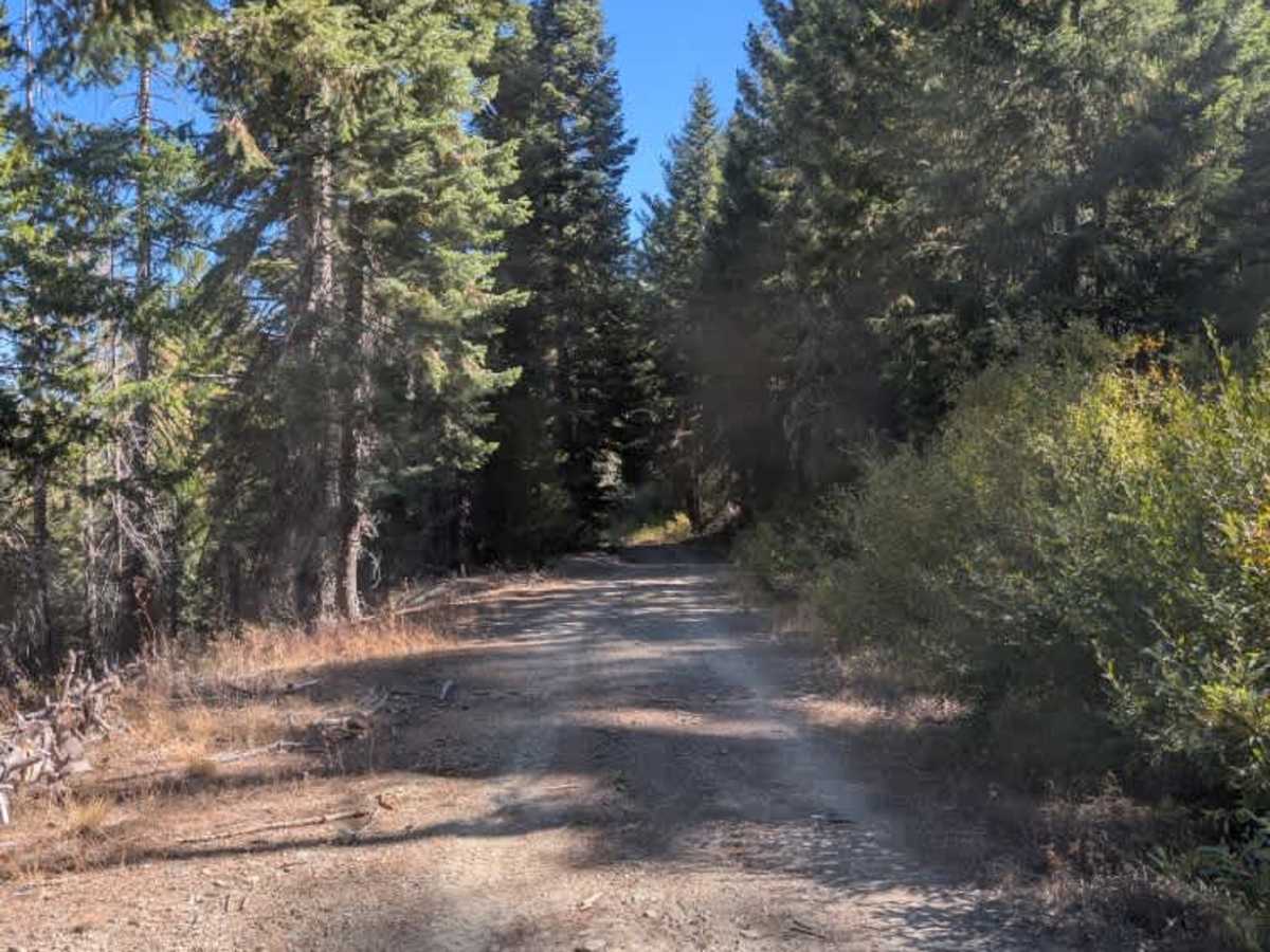
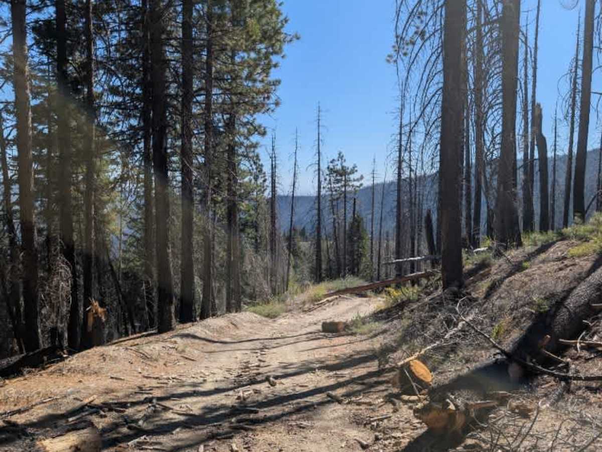
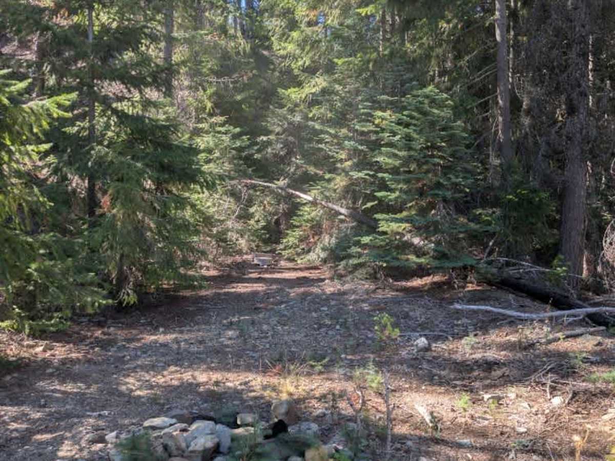
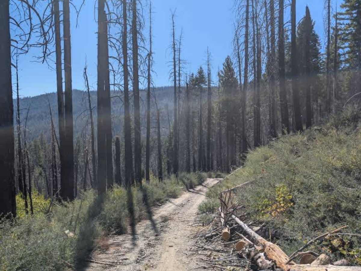
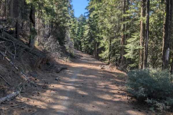
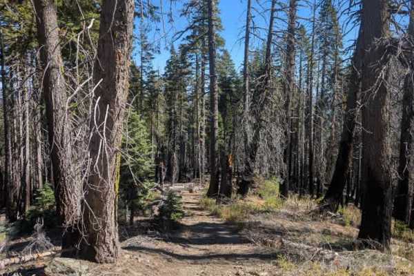
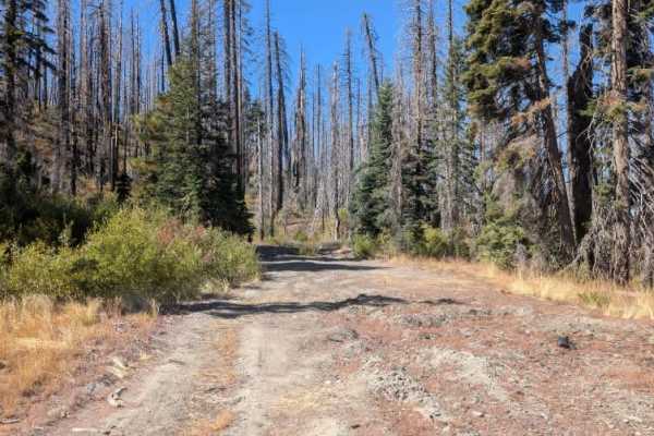
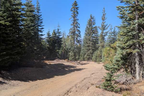
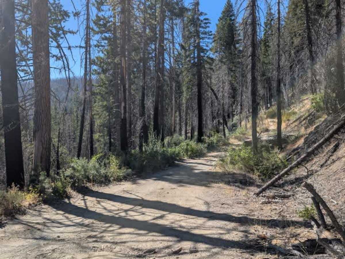
This short trail connects to another trail and runs for just under a mile, serving primarily as a connector between the surrounding routes. The trail continues beyond the main connection, with a few areas along the way where you can pull off and stop. Near the end, there is an area that could be used for dispersed camping, although the surrounding ground is fairly uneven and does not offer much level space, so it may not be the most practical place to camp; the fire ring indicates that the area has seen some use. ATVs, UTVs, Side-by-Sides, and Dirt Bikes must always have a valid California ATV Operating Permit sticker.

Photos of FS 22N69

Difficulty

The route is relatively easy, though some uneven ground may require minor adjustments when pulling off.

Technical Rating

2

FS 22N69 Trail can be accessed by the following ride types:

  • Single Track
  • 50 Inch
  • 60 Inch
  • High Clearance
  • Full Width

FS 22N69 Map

The onX Offroad Difference

onX Offroad combines trail photos, descriptions, difficulty ratings, width restrictions, seasonality, and more in a user-friendly interface. Available on all devices, with offline access and full compatibility with CarPlay and Android Auto. Discover what you're missing today!

Open Trail Map