FS 22N13

Total Miles1.7
Technical Rating
5Moderate
Best TimeSpring, Summer, Fall
Trail TypeFull-Width Road
Accessible By
Open Trail Map

Trail Overview

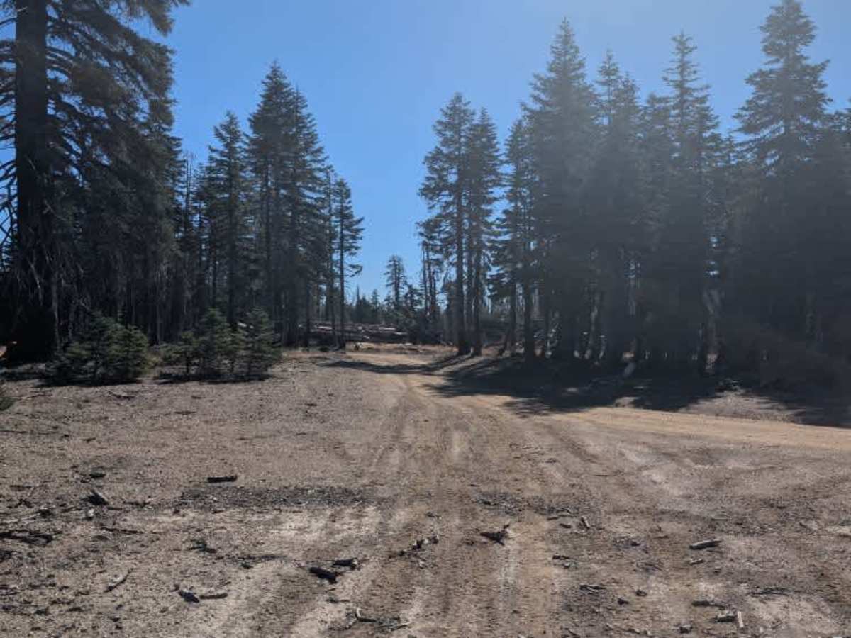
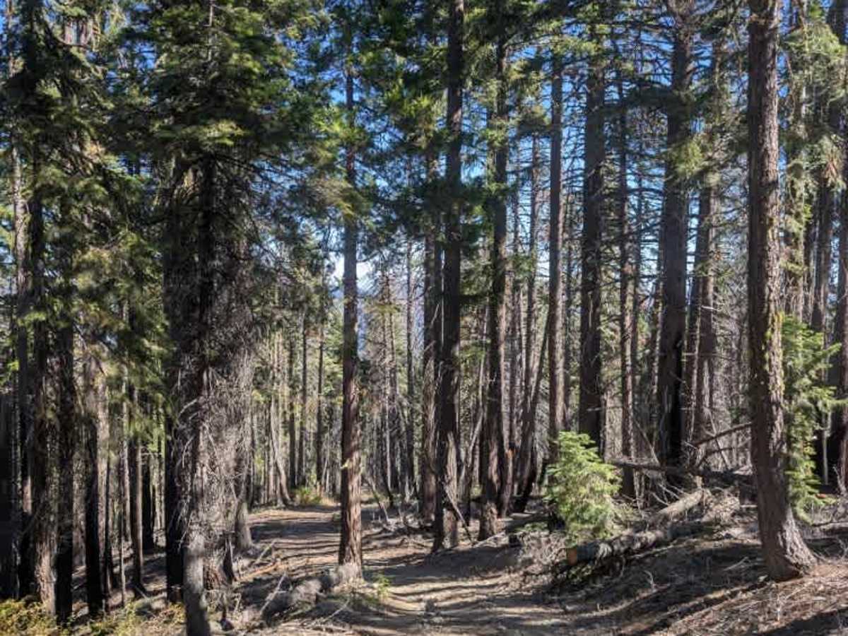
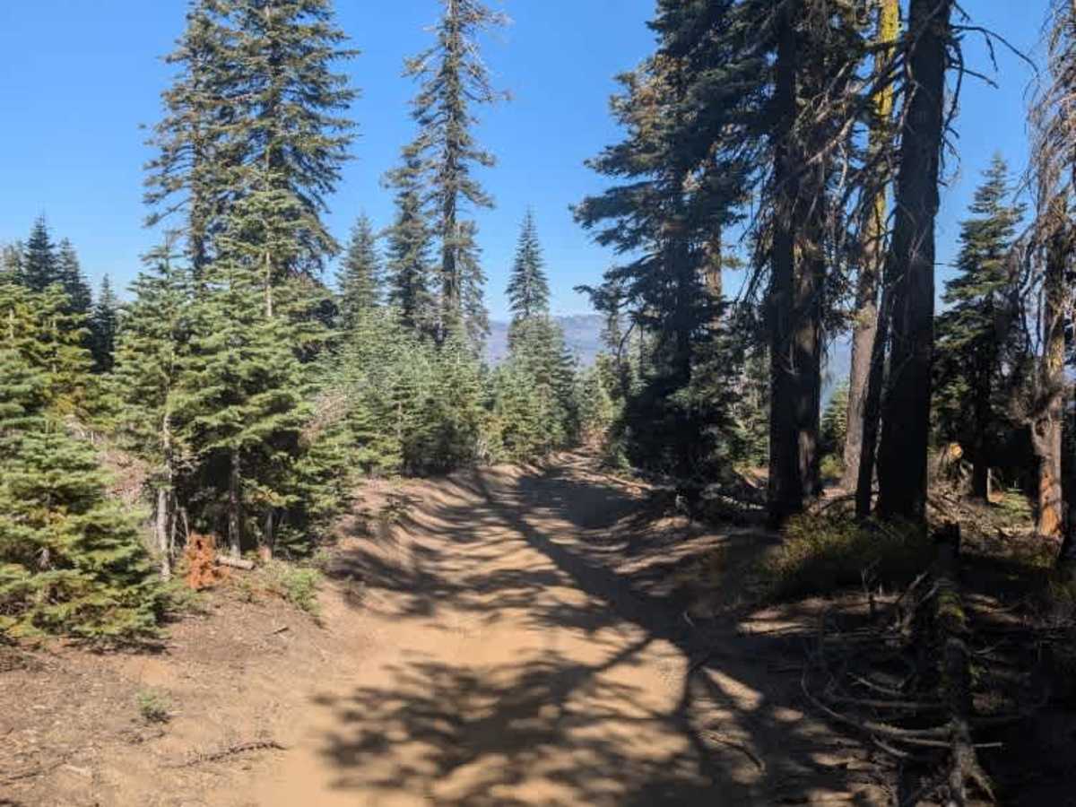
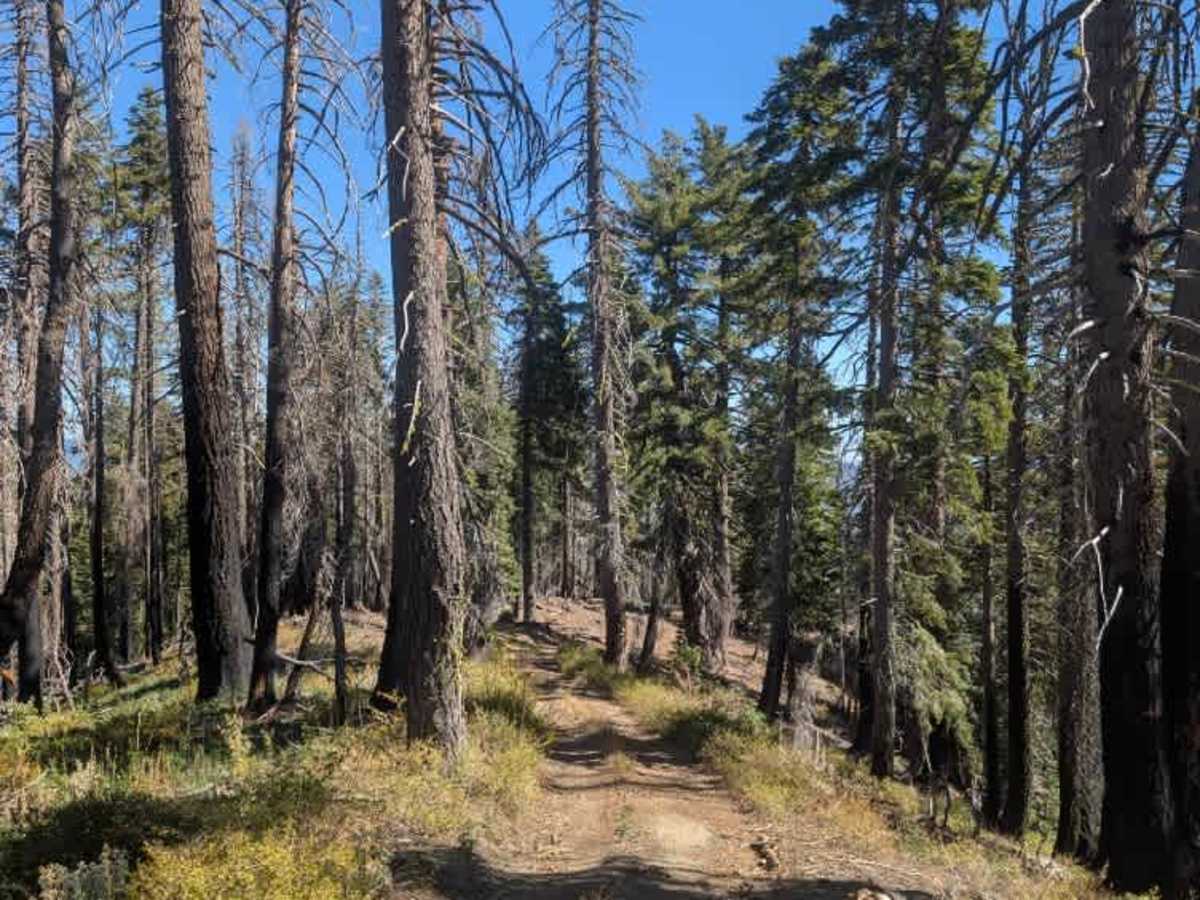
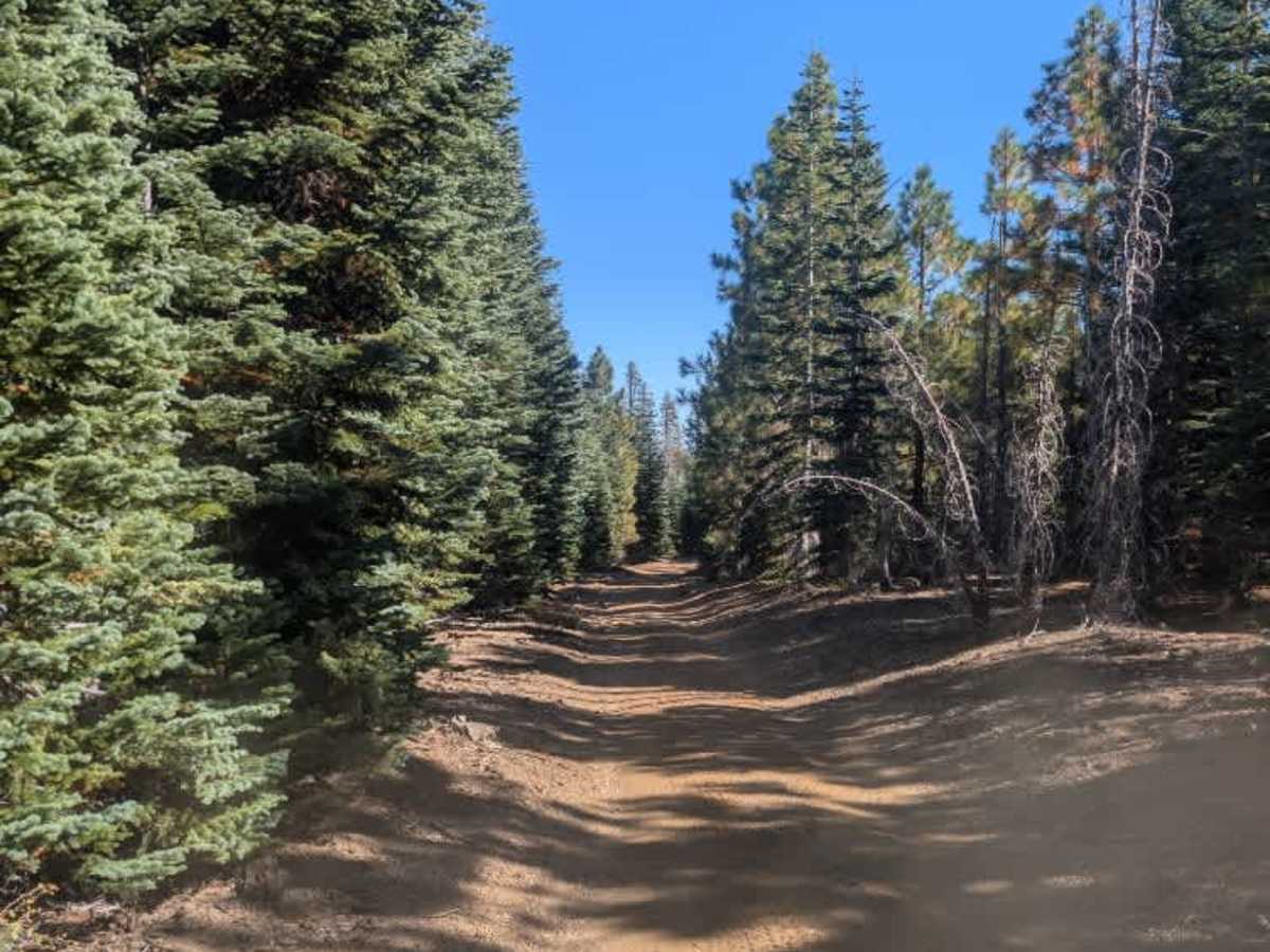
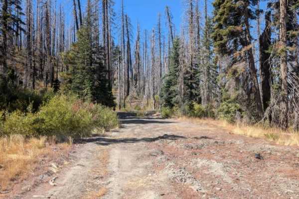
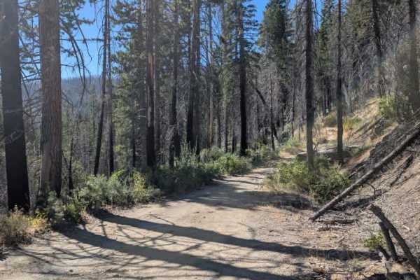
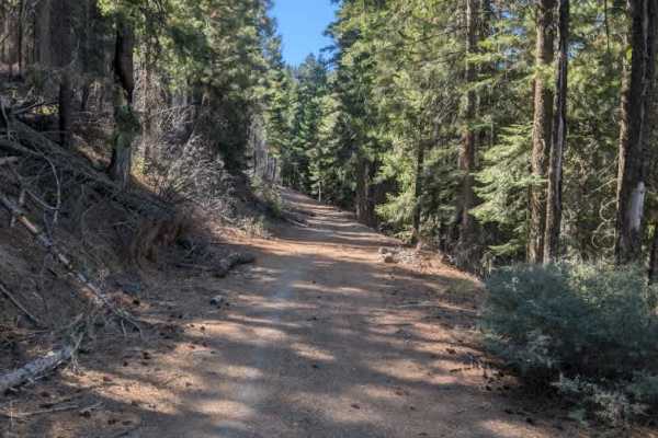
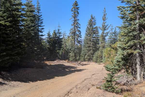
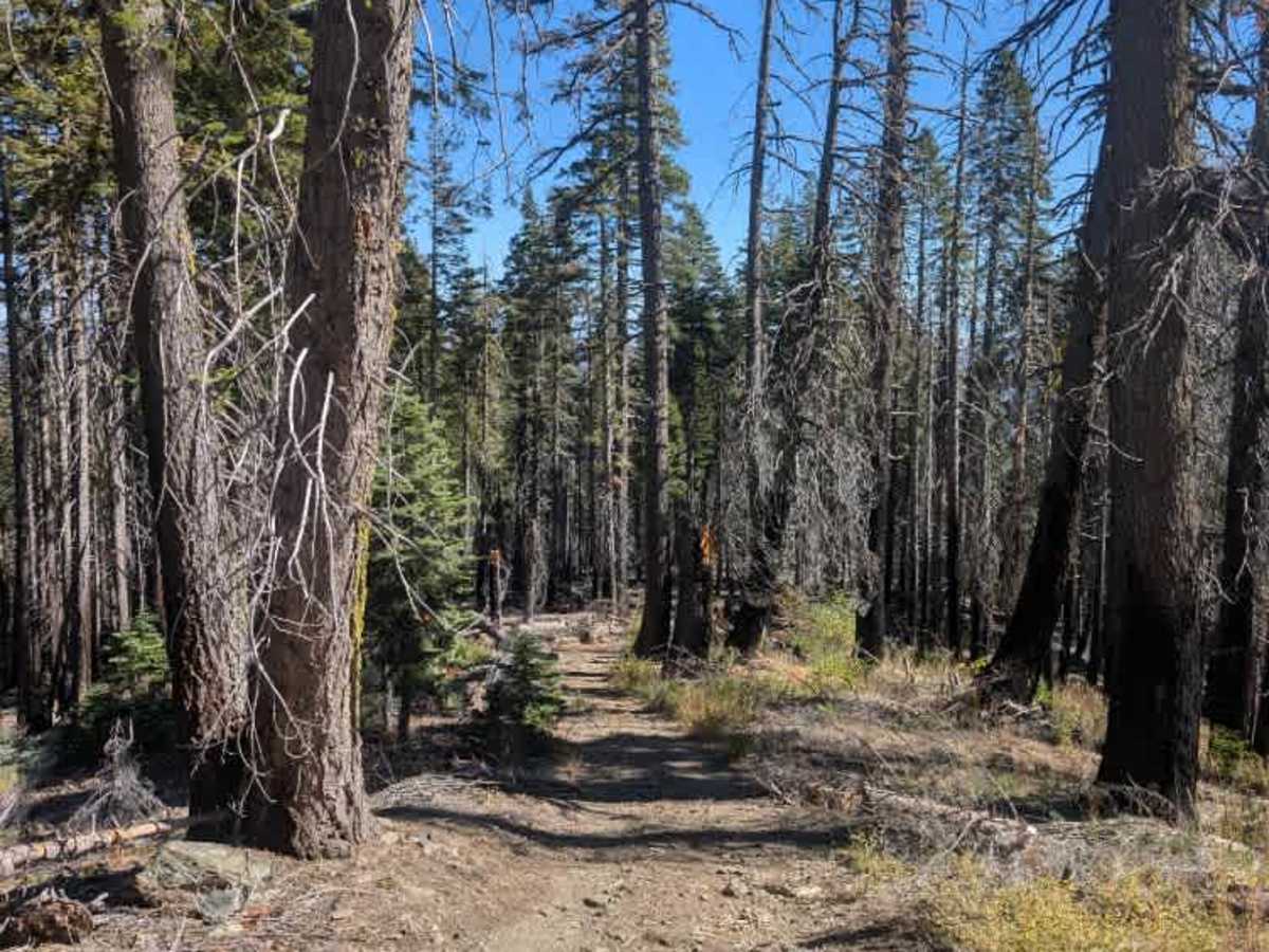
This narrow trail has a very steep, rocky descent and is best suited to ATVs and exceptionally compact, capable 4x4s. Loose rocks, numerous cut and fallen trees, and low-hanging branches make the route unsuitable for most full-size vehicles. Vehicles around 50–55 inches wide are better suited to the tight clearances. Four-wheel drive and low range are required, while differential lockers are recommended but not essential. The descent is particularly challenging and requires careful control on the loose, uneven surface. Taller vehicles may also struggle with overhanging trees, so carrying a chainsaw is advisable where permitted. This beautiful but demanding track seems to be used primarily by determined hunters traveling on ATVs; a hunters’ camp sits near the end of the route. ATVs, UTVs, Side-by-Sides, and Dirt Bikes must always have a valid California ATV Operating Permit sticker.

Photos of FS 22N13

Difficulty

This demanding trail combines a very steep descent with narrow passages, overhead obstacles, and loose, rocky terrain.

Technical Rating

5

FS 22N13 Trail can be accessed by the following ride types:

  • Single Track
  • 50 Inch
  • 60 Inch
  • High Clearance
  • Full Width

FS 22N13 Map

The onX Offroad Difference

onX Offroad combines trail photos, descriptions, difficulty ratings, width restrictions, seasonality, and more in a user-friendly interface. Available on all devices, with offline access and full compatibility with CarPlay and Android Auto. Discover what you're missing today!

Open Trail Map