FS 22N44B

Total Miles2.7
Technical Rating
2Easy
Best TimeSpring, Summer, Fall
Trail TypeFull-Width Road
Accessible By
Open Trail Map

Trail Overview

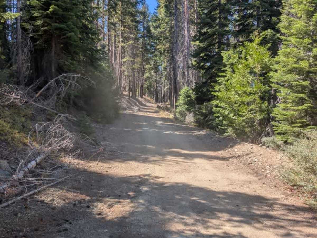
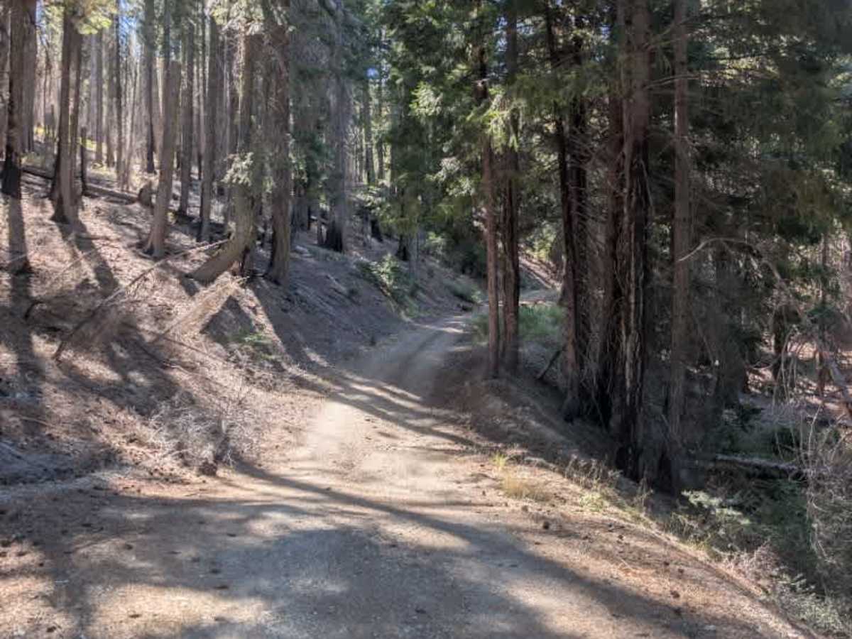
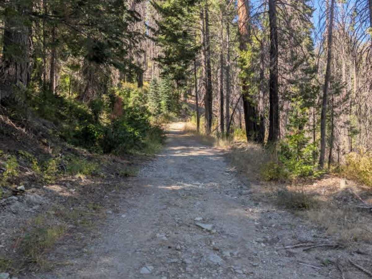
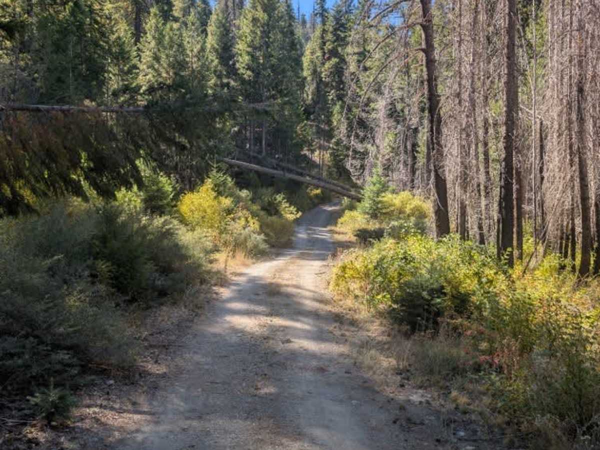
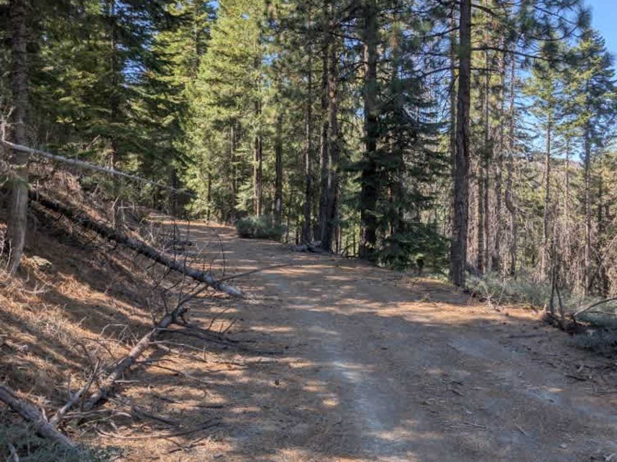
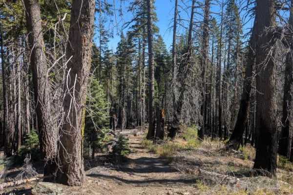
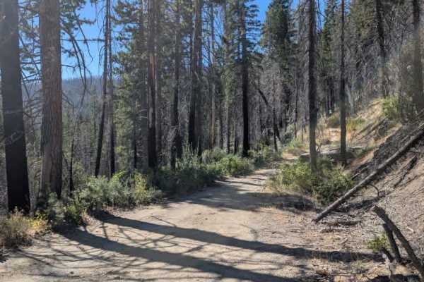
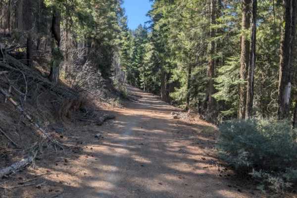
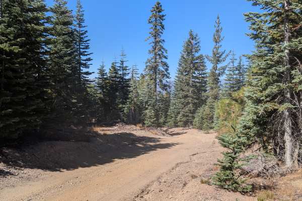
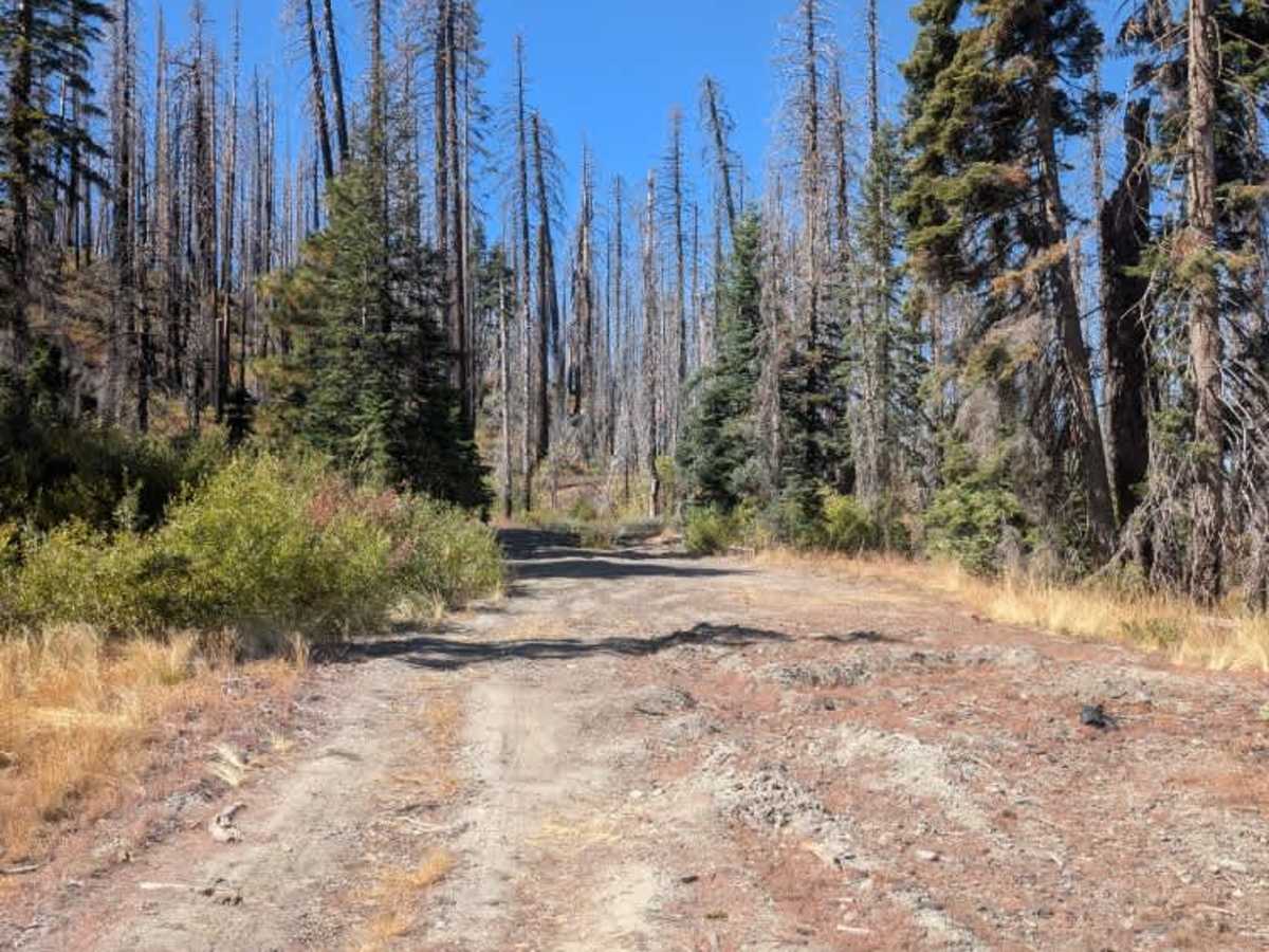
This trail branches off FS 22N44 at a corner where the two routes split. The trail climbs gently along the hillside through a burned area. The road is fairly wide, although fallen trees near the edges and along the route may make passage more difficult for wider vehicles. Watch for additional downed trees, as the surrounding burn area means more may be present along the way. The surface has a few minor ruts and shallow ditches, but the terrain is generally manageable. A 4x4 is recommended for added confidence, although it is not strictly required under suitable conditions. ATVs, UTVs, Side-by-Sides, and Dirt Bikes must always have a valid California ATV Operating Permit sticker.

Photos of FS 22N44B

Difficulty

The trail is generally manageable, with minor ruts and shallow ditches, though fallen trees may restrict passage in places.

Technical Rating

2

FS 22N44B Trail can be accessed by the following ride types:

  • Single Track
  • 50 Inch
  • 60 Inch
  • High Clearance
  • Full Width

FS 22N44B Map

The onX Offroad Difference

onX Offroad combines trail photos, descriptions, difficulty ratings, width restrictions, seasonality, and more in a user-friendly interface. Available on all devices, with offline access and full compatibility with CarPlay and Android Auto. Discover what you're missing today!

Open Trail Map