Trail Overview
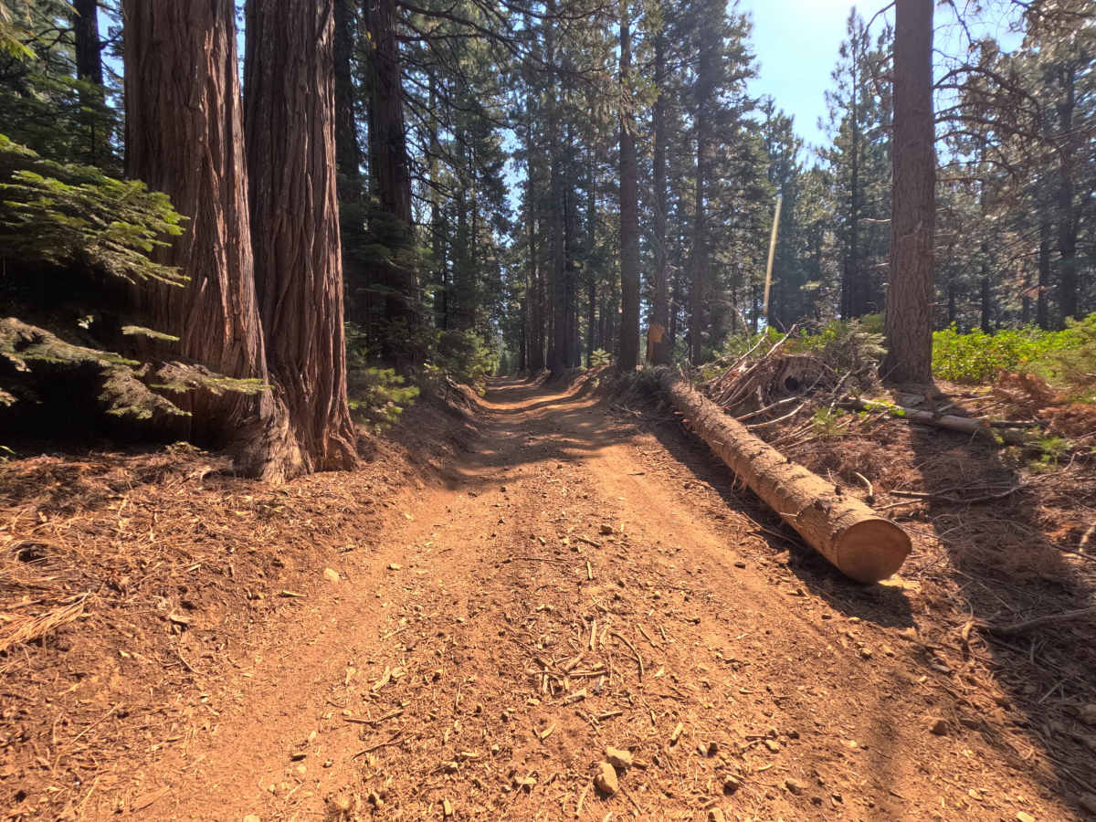
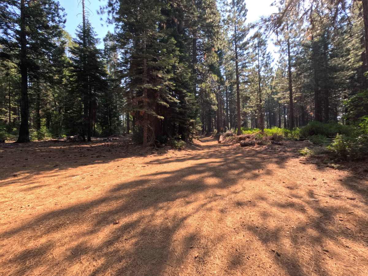
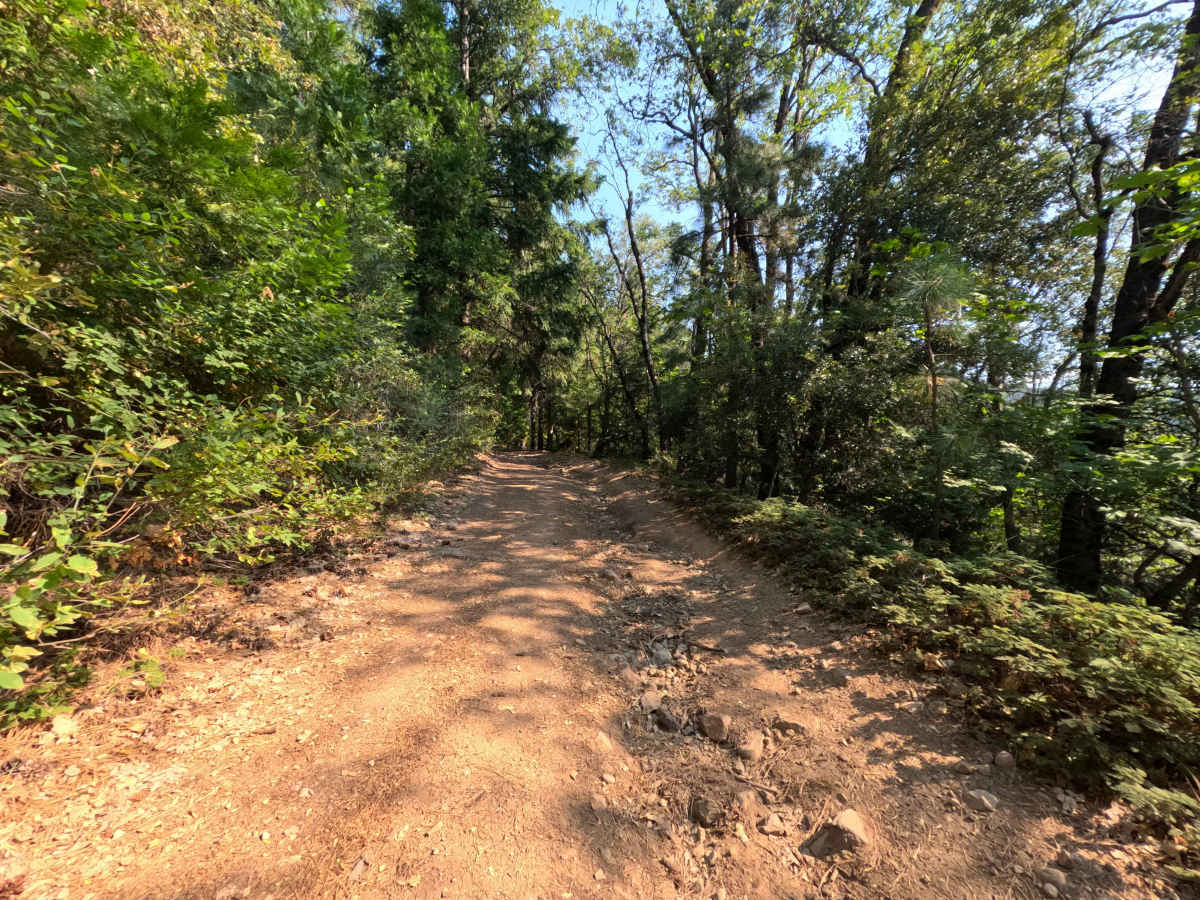
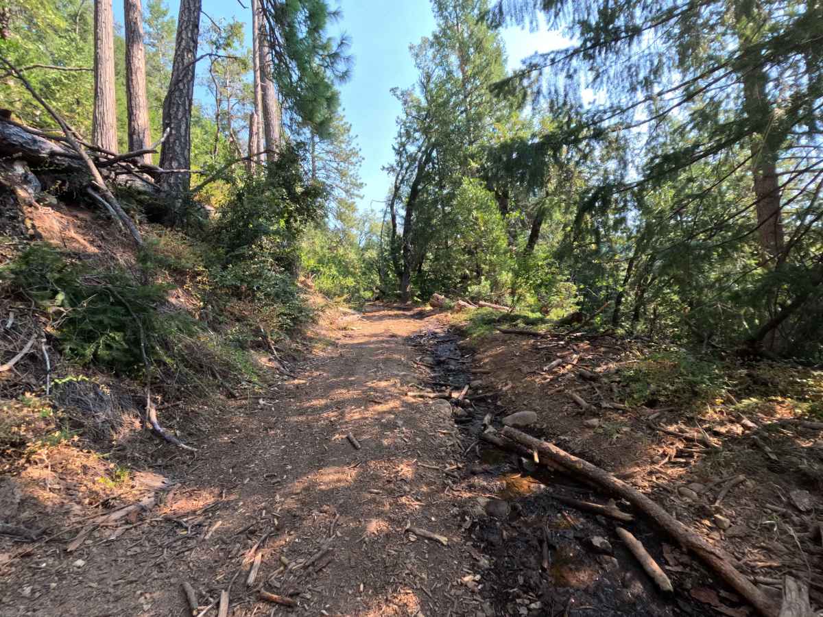
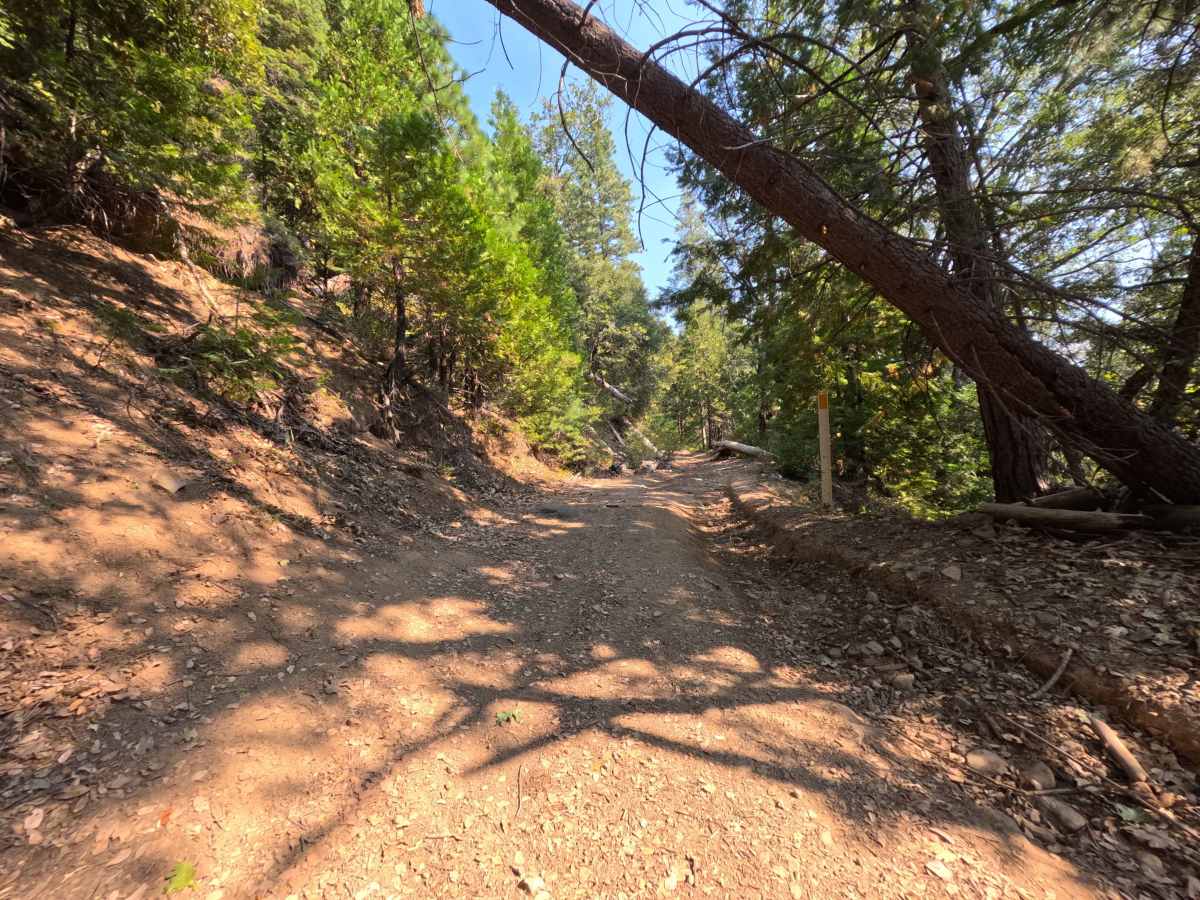
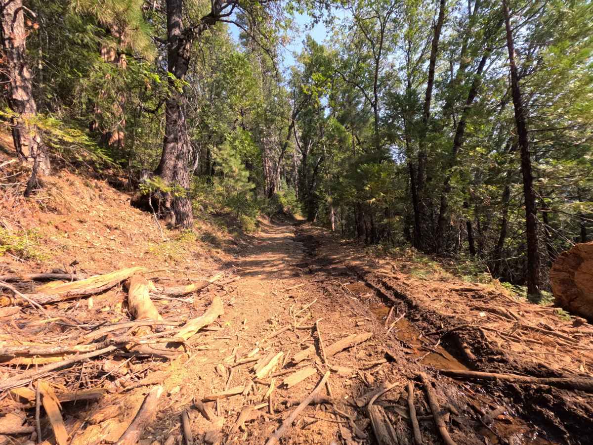
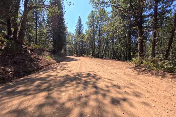
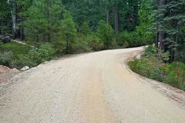
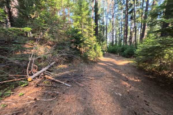
Connecting Relief Hill Road (FS 36) with North Bloomfield Graniteville Road, Snow Tent (FS 36-003) serves as a rugged backcountry connector providing valuable throughput across the elevated ridge country. The route traverses an unbroken, mature woodland canopy of incense cedars, ponderosa pines, Douglas firs, and black oaks managed by the Tahoe National Forest. Ranging from an uneven, single-lane native-dirt pathway to a broader, firmly packed gravel surface, the road carries a technical difficulty rating of 3. Along the dirt portions of the corridor, the track is constricted by cut roadside logs and brush, while seasonal stream runoff has etched rolling cross-ruts and bumps into the roadbed. A broad crossroads clearing midway through the traverse provides an inviting dispersed camping area capable of accommodating multiple rigs beneath the shade. Recreationists frequent this forest connector to link regional routes between Relief Hill and Graniteville, establish private campsites, and stage backcountry outings into the surrounding Sierra foothills.
Difficulty
Earning a rating of 3, this forest connector transitions between well-graded crushed gravel and an uneven dirt roadbed sculpted by natural hillside drainage. Along the dirt sectors, shallow water ruts and undulating bumps demand a steady, controlled crawl; place your tires along the high center ridges rather than dropping down into the troughs to prevent undercarriage scraping. Watch for tight clearances where large cut logs line the shoulder and leaning tree limbs overhang the path, requiring deliberate line choice to avoid scratching paint or pinching sidewalls. The wider gravel sections and the open junction campsite offer clear visibility and ample space to yield safely to oncoming traffic from either direction.

 Offroad