Trail Overview
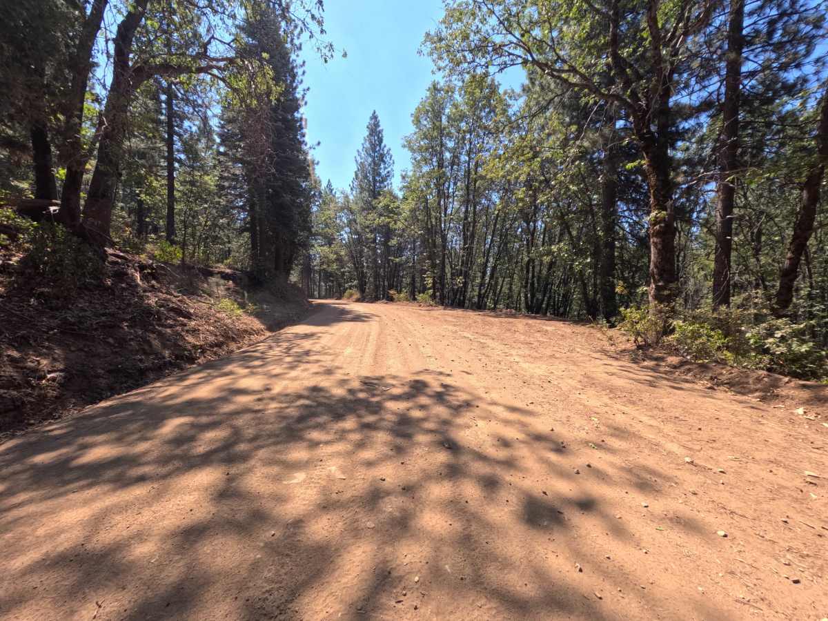
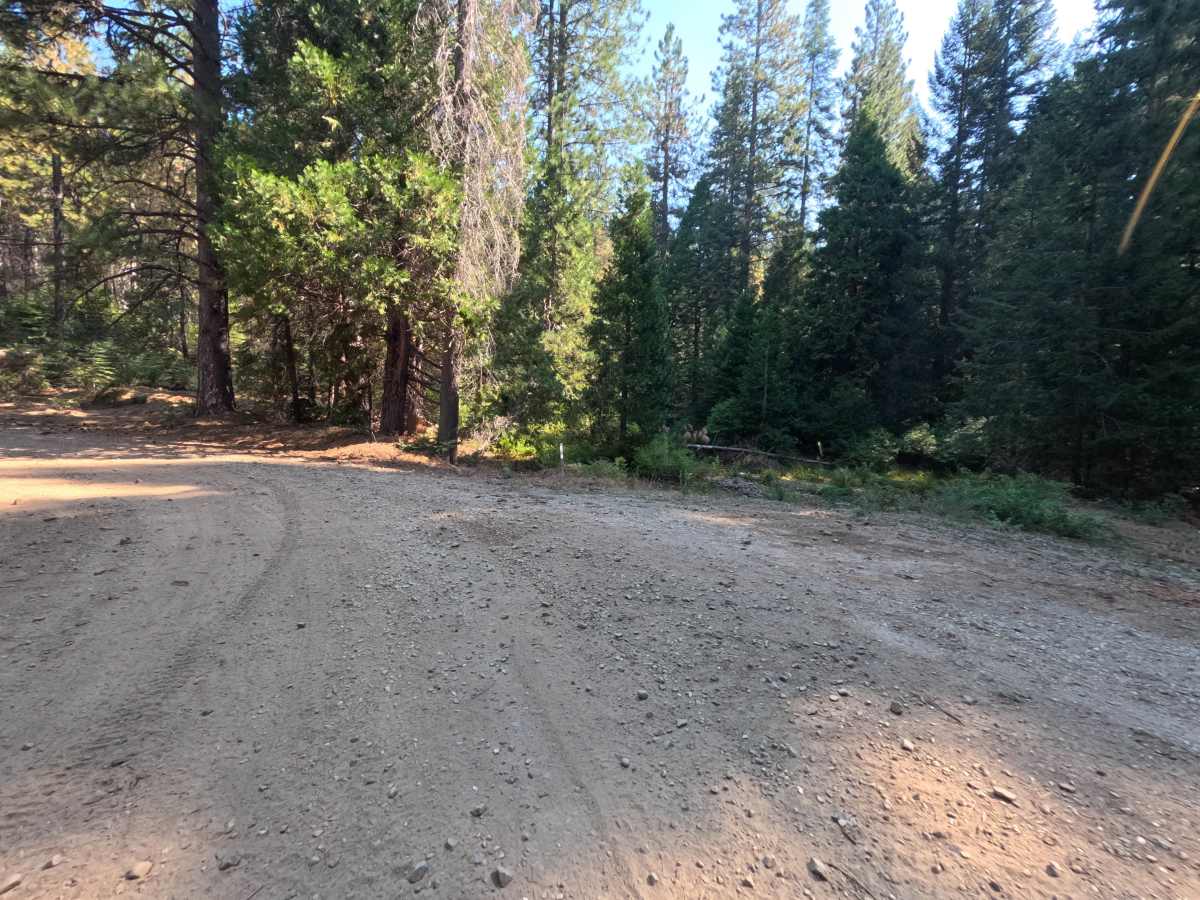
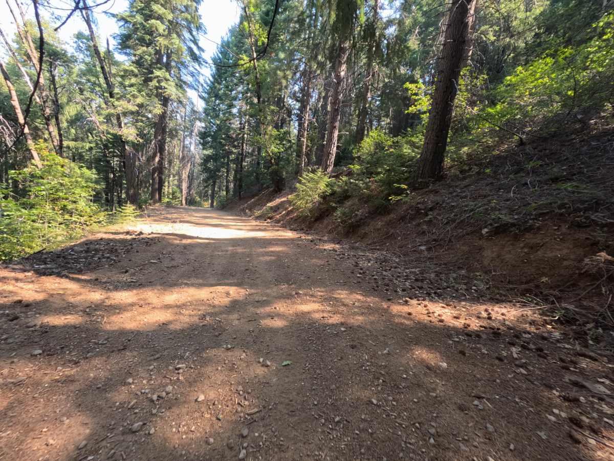
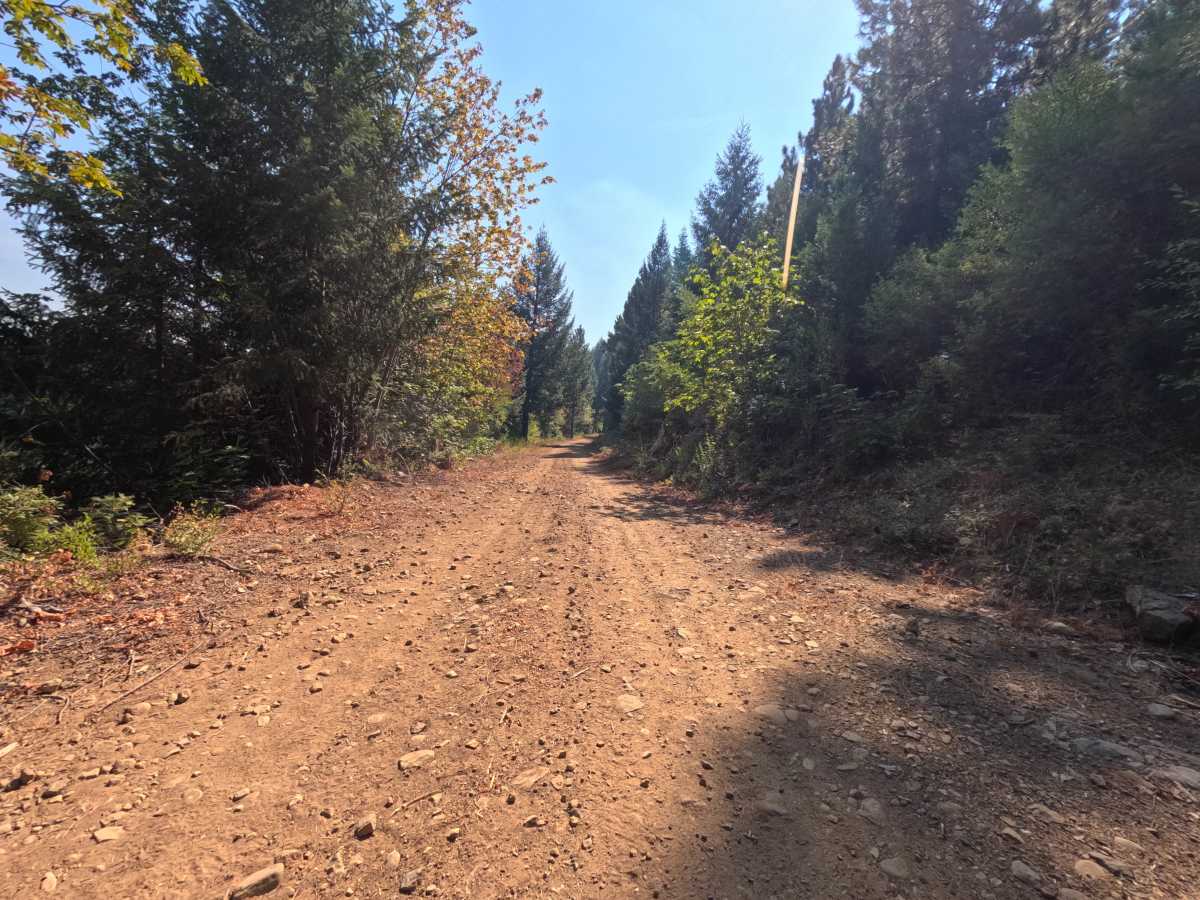
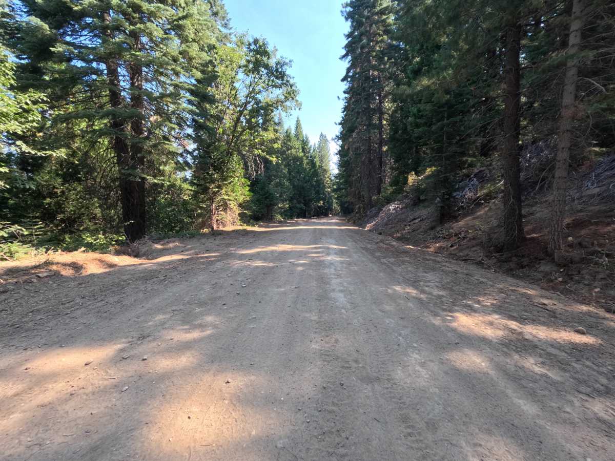
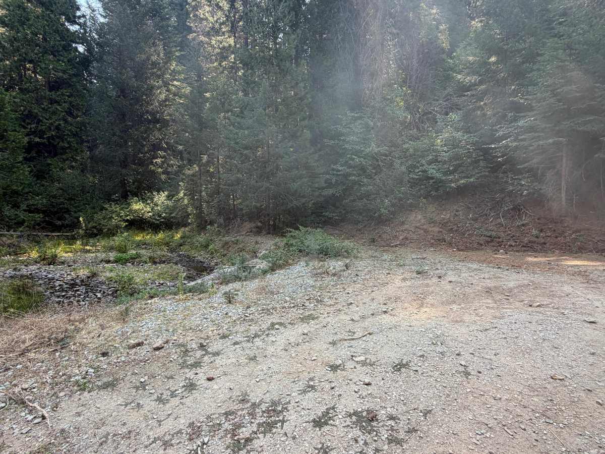
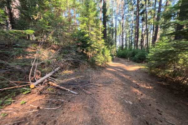
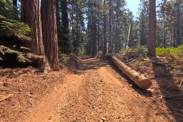
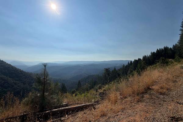
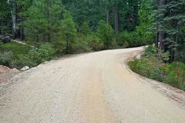
Moores Flat Road is a double-track dirt loop within the Tahoe National Forest, confirmed by a forest boundary sign along the route, that links up with several other spurs before eventually reconnecting to North Bloomfield Graniteville Road to the east. Rather than staying level throughout, the route rolls through a series of climbs and descents, gaining and losing over a thousand feet of elevation across its 7.4-mile length. Around the 1.3-mile mark, a small pullout offers space for one vehicle to disperse camp. Past the two-mile bend, the road narrows from double-track to single-track and continues its gradual descent for several miles. A second small dispersed campsite appears further along the loop, and the route widens back out to double-track again near its final stretch before closing the loop back at the starting road. The surface stays smooth, hard-packed dirt throughout, without any notable obstacles, ruts, or crossings. At just over 7 miles, this is one of the longer routes in the area, so plan accordingly. Best travel is in Summer and Fall.
Difficulty
Moores Flat Road rates a 1, the easiest classification on the scale. The dirt surface stays smooth and well-packed across the entire 7.4-mile loop, including where the road narrows to single-track width, so nothing here challenges traction or clearance. The route does gain and lose over a thousand feet of elevation along its rolling path, but the grades stay gradual and steady rather than steep or technical. The rating holds at 1 because the route has no obstacles, water crossings, or rough sections anywhere along its length, making it approachable for nearly any vehicle despite its length and elevation change.