Trail Overview
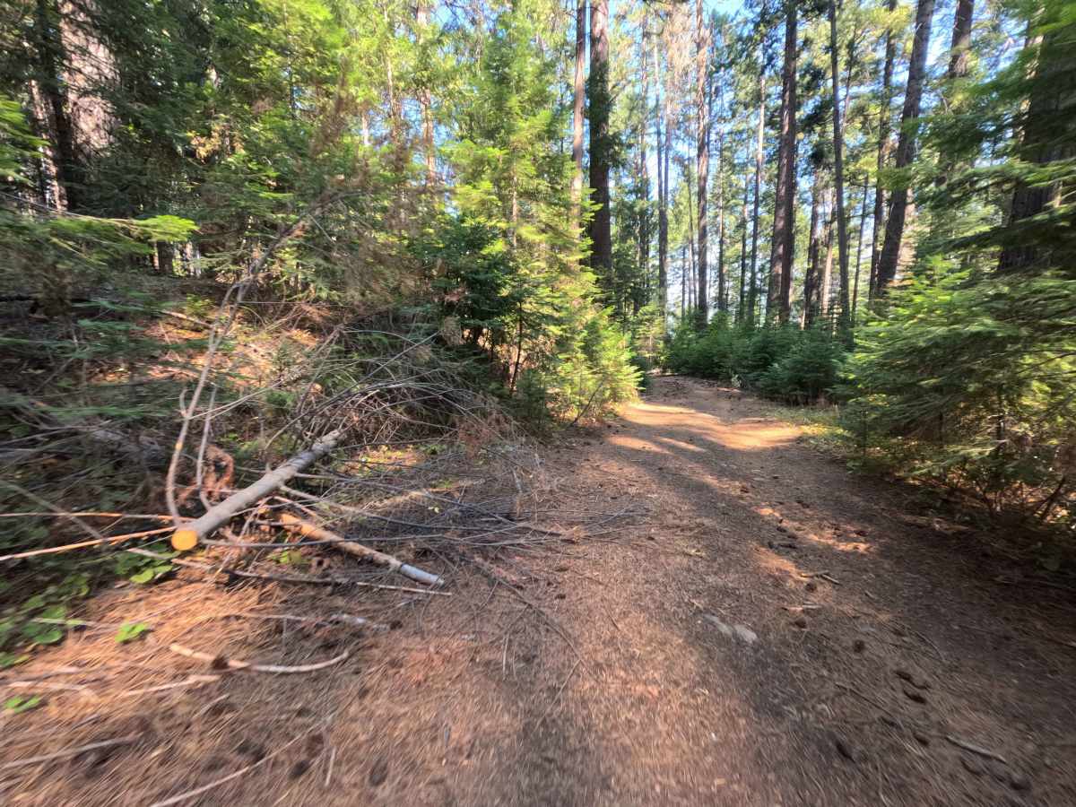
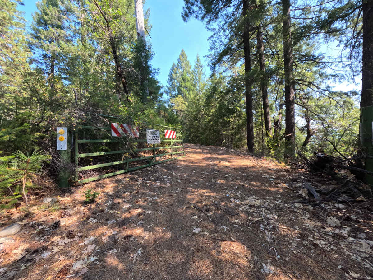
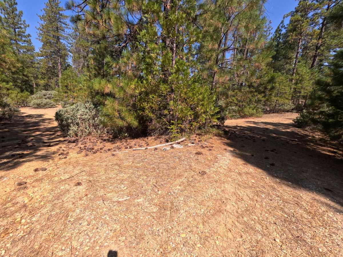
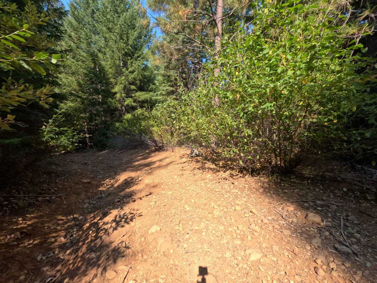
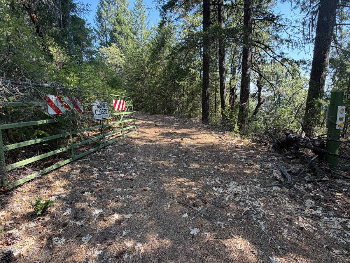
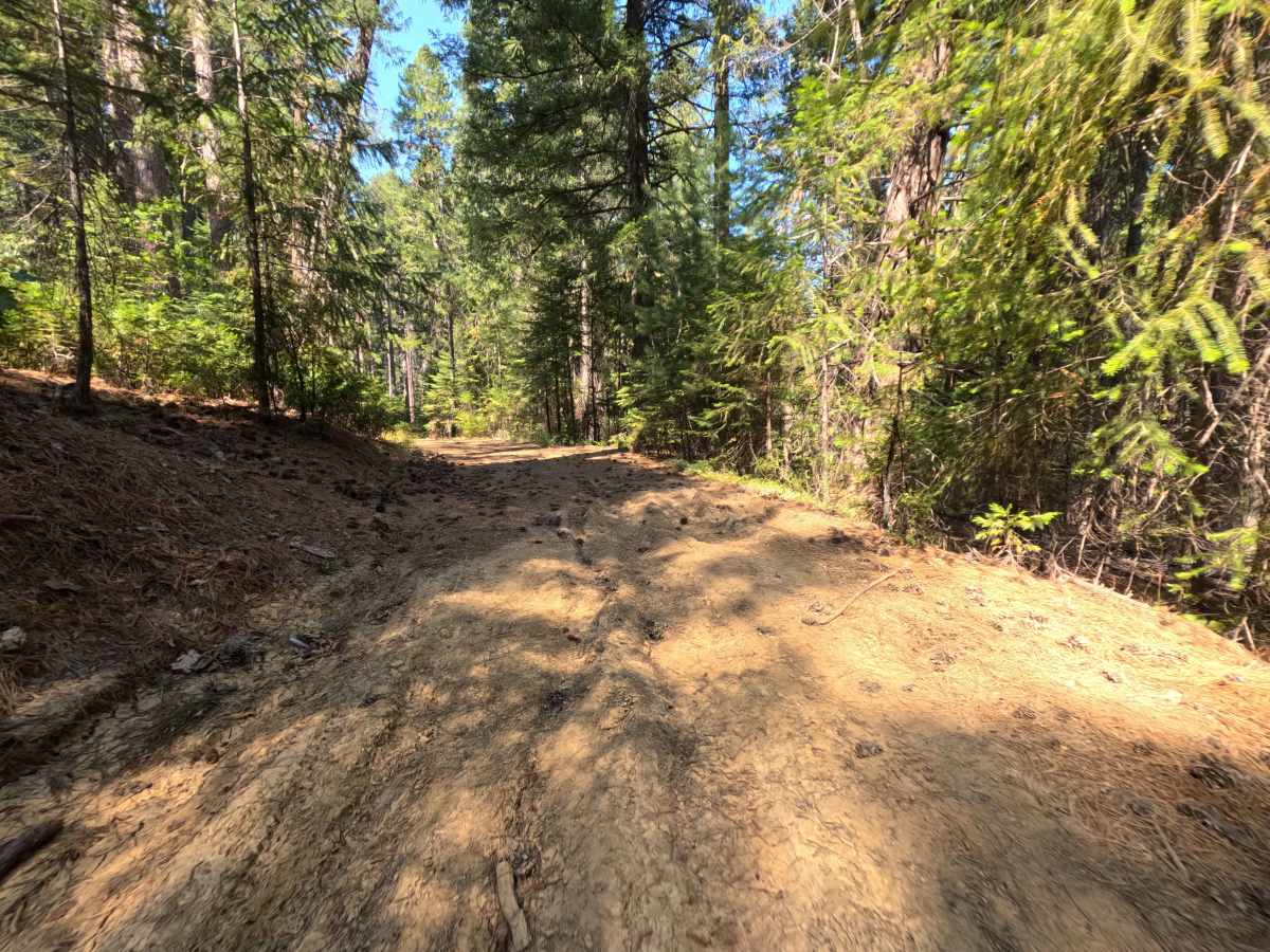
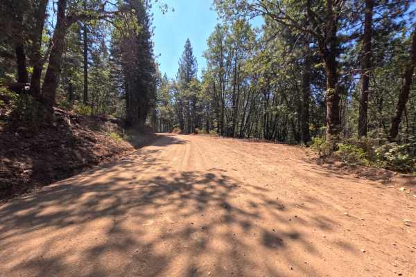
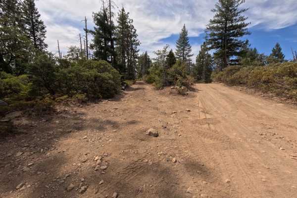
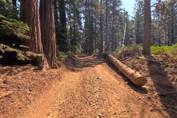
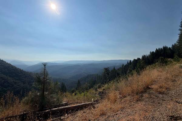
Branching westward off North Bloomfield-Graniteville Road, Moores Flat Diggings (FS 833-008) is an engaging, single-track dirt spur that descends toward the historic Gold Rush hydraulic mining territory near the Middle Yuba River drainage. The corridor winds through a sun-dappled woodland of ponderosa pines, incense cedars, and black oaks with a healthy mountain shrub understory managed by the Tahoe National Forest. Composed of native red soil, loose gravel, and pine needle duff, this unpaved out-and-back route earns a modest difficulty rating of 2. The upper stretch twists downhill with uneven ground and rain ruts before settling into a smoother, level shelf road carved along the hillside. Along the lower traverse, a flat clearing provides a scenic dispersed camping spot capable of accommodating up to two vehicles, located just before a seasonal forest gate. Motorized travel concludes at a Y-intersection linking into secondary timber spurs. Outdoor enthusiasts explore this quiet track primarily to investigate historic 19th-century placer diggings, secure secluded campsites, and access quiet hunting and hiking terrain tucked away from main thoroughfares.
Difficulty
Rated a 2, this spur is approachable for standard high-clearance rigs but warrants a measured pace along the initial descent. The upper section features bumpy terrain, shallow drainage cross-ruts, and scattered embedded cobbles; maintain a slow speed and place your tires atop the high ridges of the ruts to preserve underbody clearance. The lower half levels into a smoother, single-lane dirt track with brush hugging the shoulders, requiring careful line choice to avoid overhanging limbs. Watch for the seasonal gate around the bend, and use either the open campsite clearing or the terminal Y-intersection to execute an easy multi-point turnaround.