Trail Overview
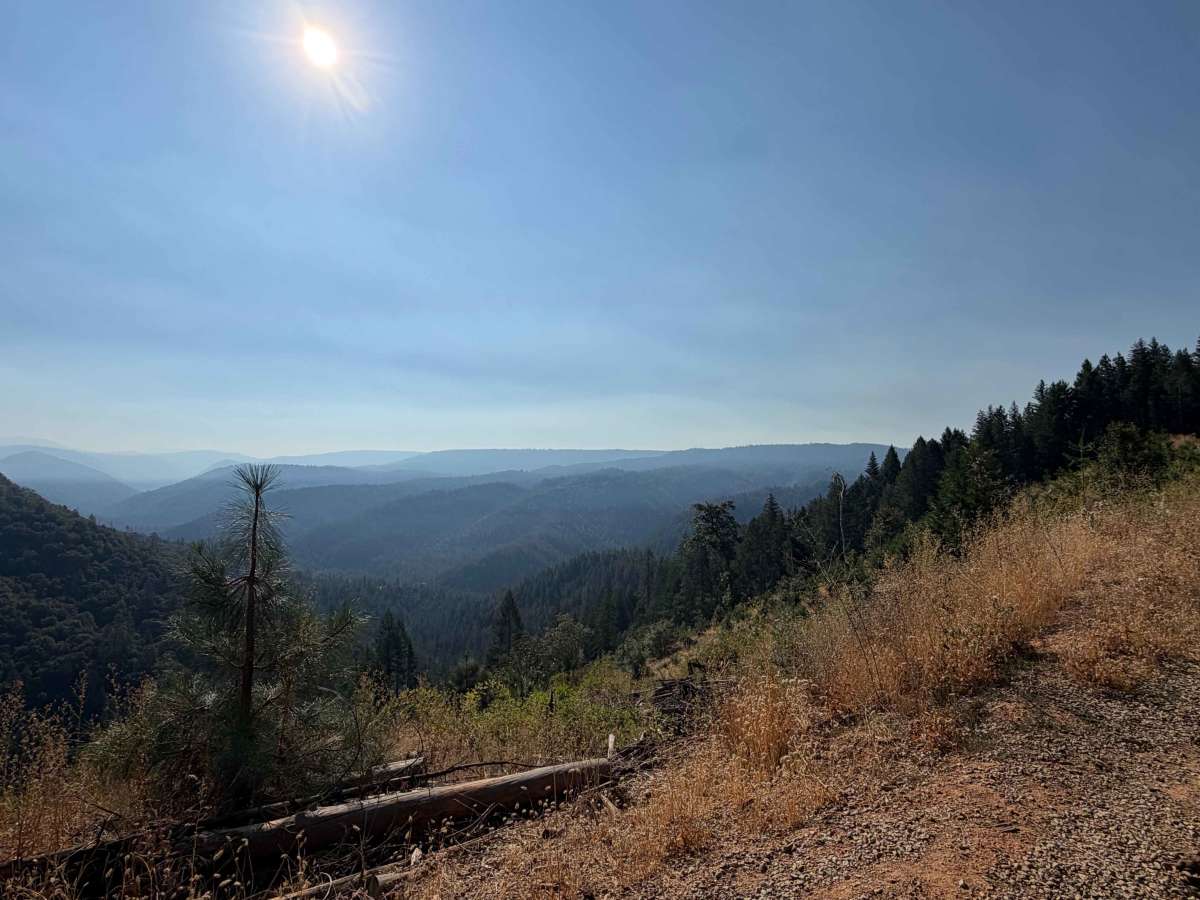
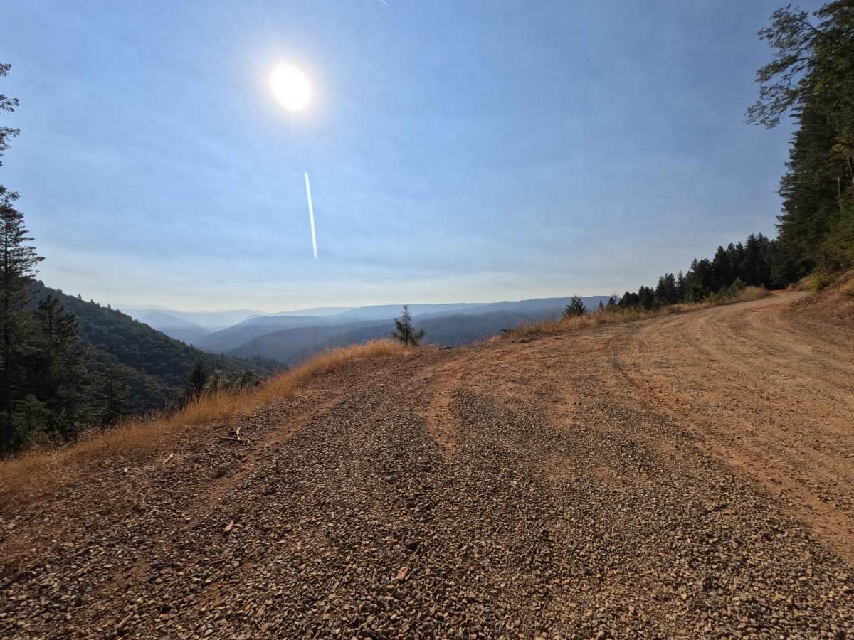
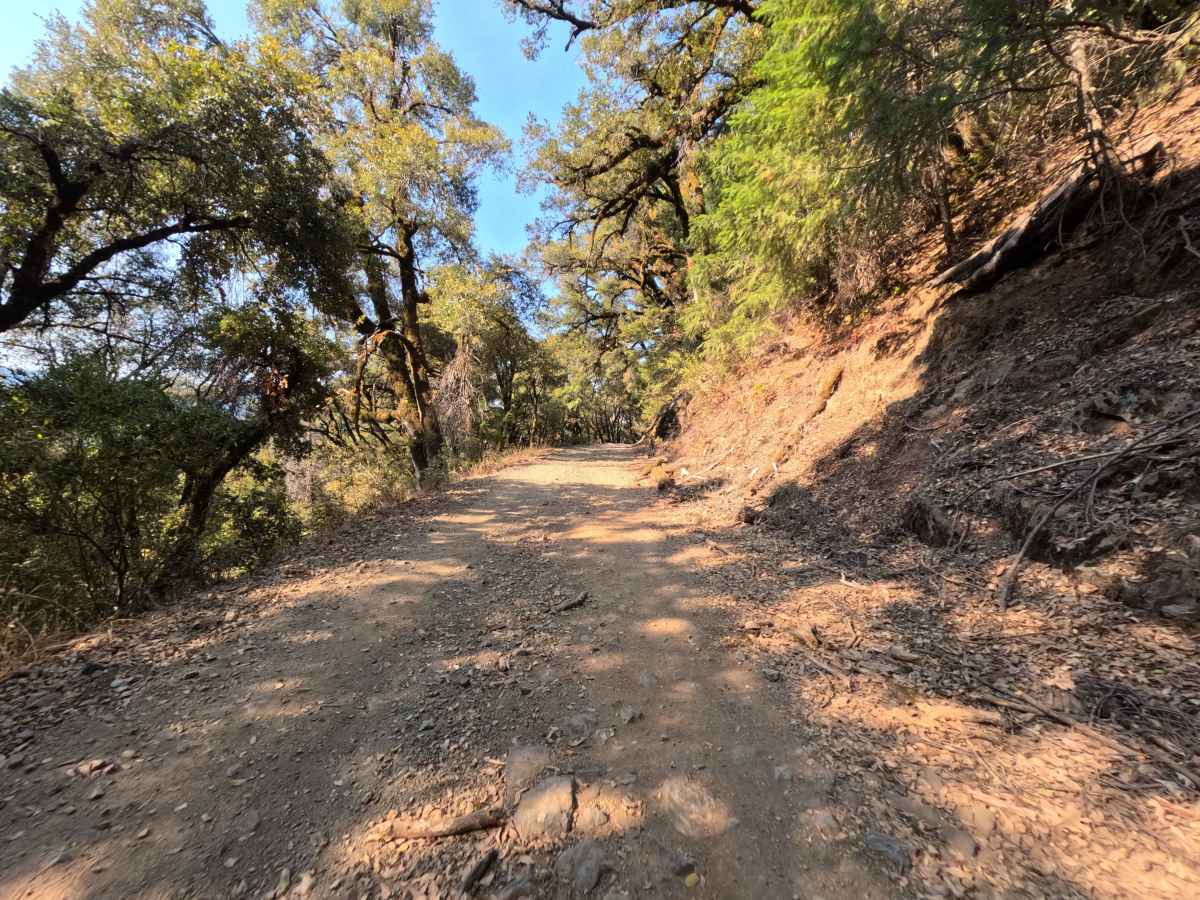
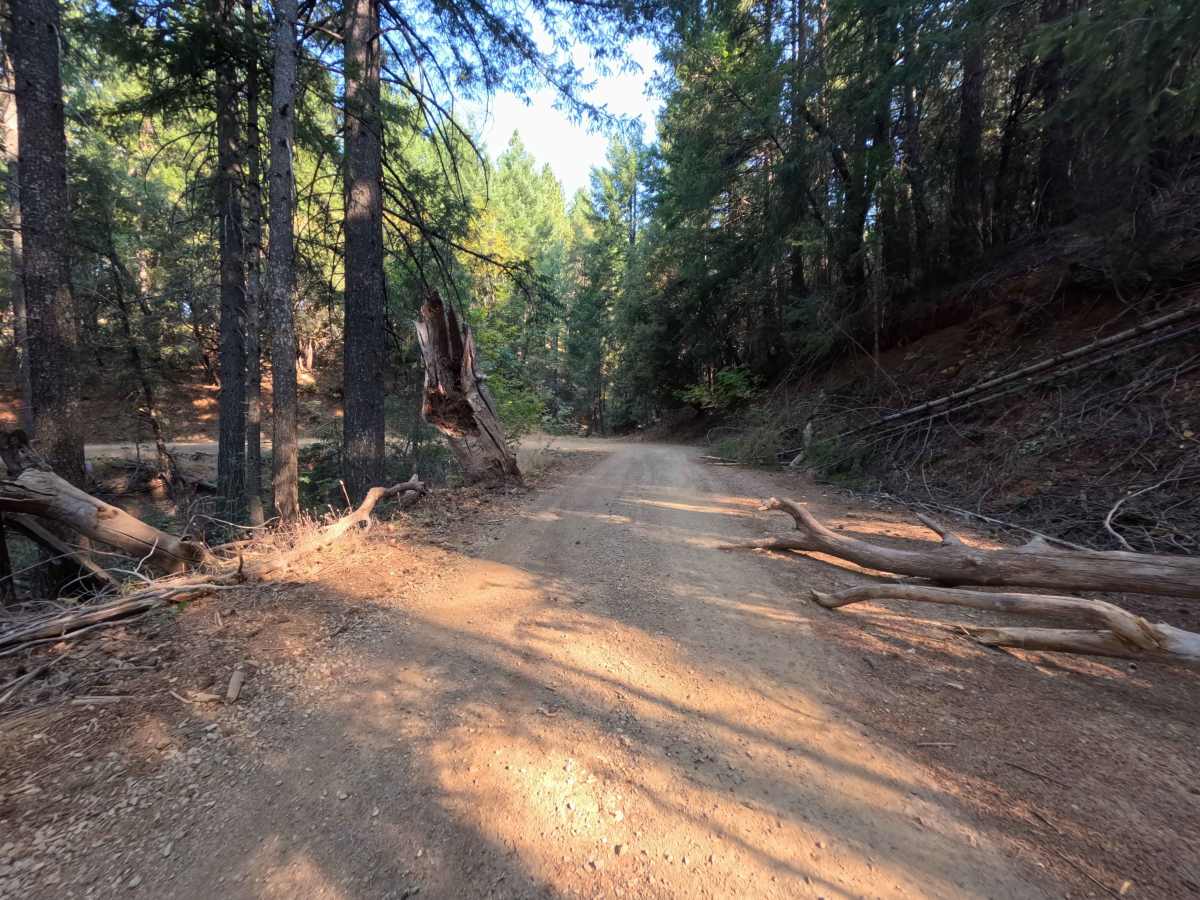
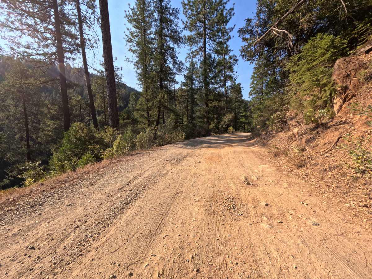
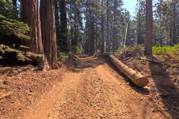
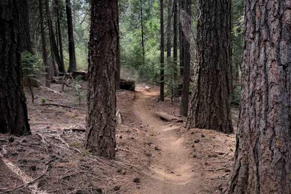
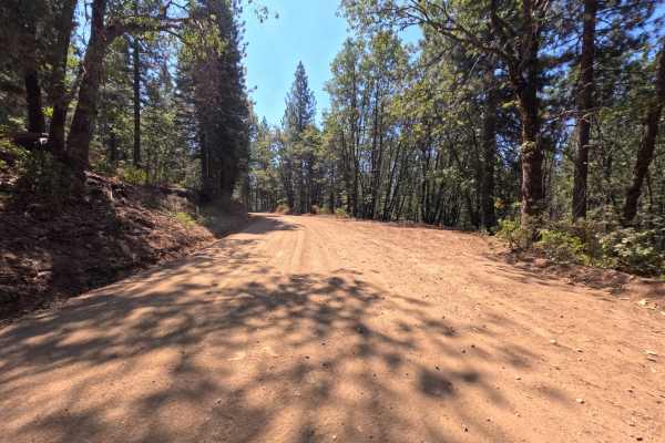
Branching off Forest Service Road 21, Relief Hill (FS 36) serves as an expansive backcountry connector that climbs steadily across the ridge before linking directly into Snow Tent Road. Providing scenic throughput deeper into the forest, this route serves as a key transit link between lower canyon access points and higher-elevation ridge systems. The roadway winds through a dynamic woodland environment where warm oak woodlands give way to tall ponderosa pines, incense cedars, and Douglas firs managed by the Tahoe National Forest. Composed of a wide single-lane base of compacted earth, fine decomposed granite, and weathered gravel, this gentle mountain road earns an accessible trail rating of 1. Along the upper winding sections, broad clearing turnouts open up to breathtaking panoramic vistas overlooking the steep river canyon and distant rolling hillsides. Forest visitors frequently utilize this pleasant corridor to take in sweeping valley viewpoints, explore historic Gold Country mining terrain, and connect to remote hiking trailheads and quiet dispersed camping zones along the crest.
Difficulty
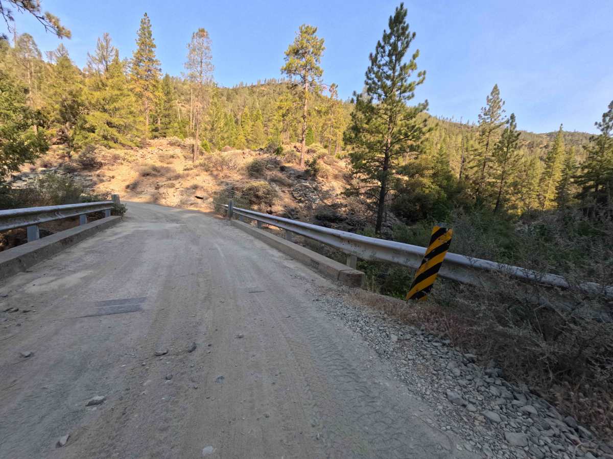
Rated a 1, this wide forest route provides an approachable, low-stress drive regardless of which direction you travel. The running surface consists of solid, hard-packed native dirt and crushed gravel, remaining free of technical boulder fields, sharp bedrock shelves, or deep erosion gullies. Travelers will encounter repetitive surface bumps and light washboard ripples along the steady climb; maintaining a gentle, moderate speed helps smooth out the ride while keeping tires tracking securely. Forward visibility is clear around sweeping curves, and the roadway provides generous pullouts and scenic turnouts that allow passing oncoming vehicles with complete ease.

 Offroad