Trail Overview
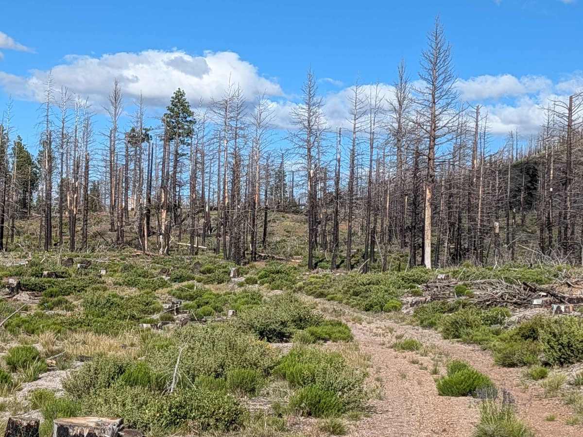
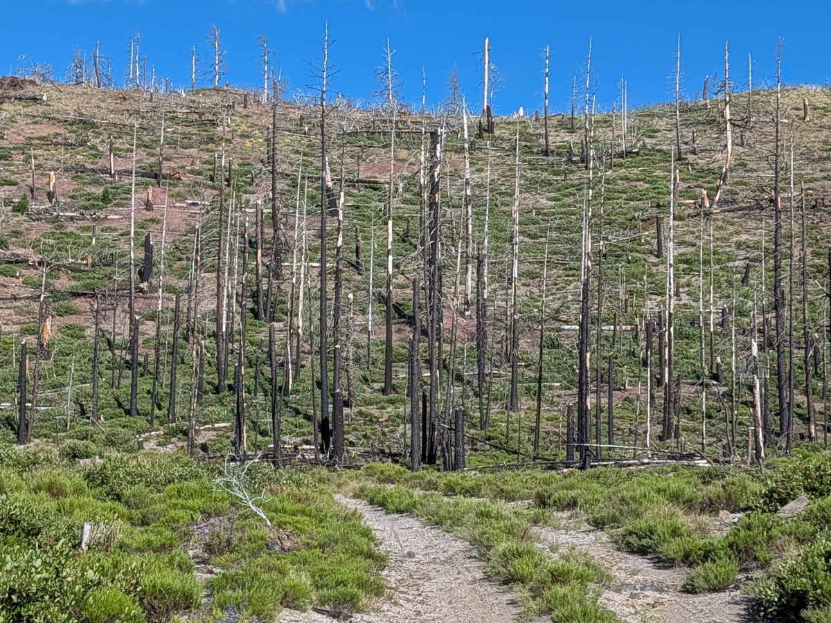
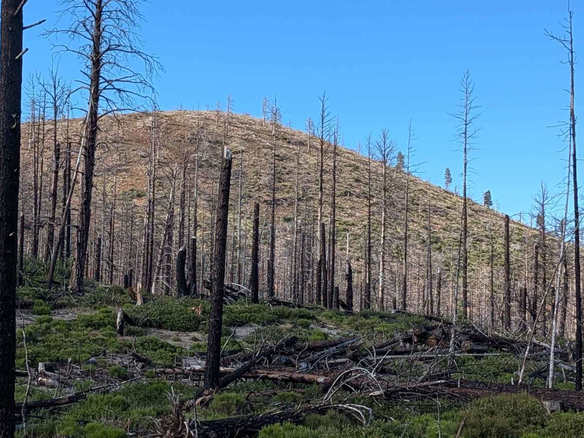
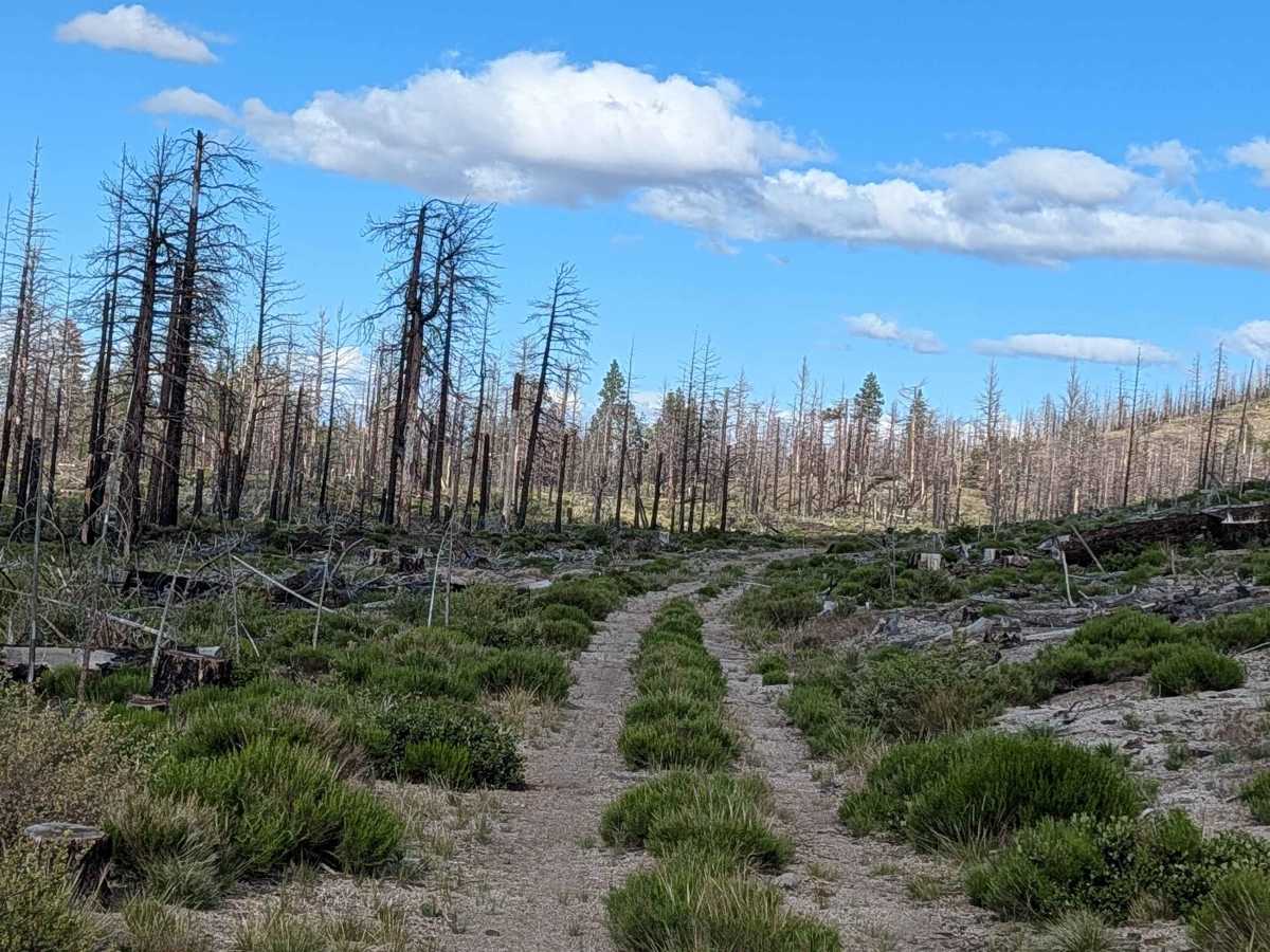
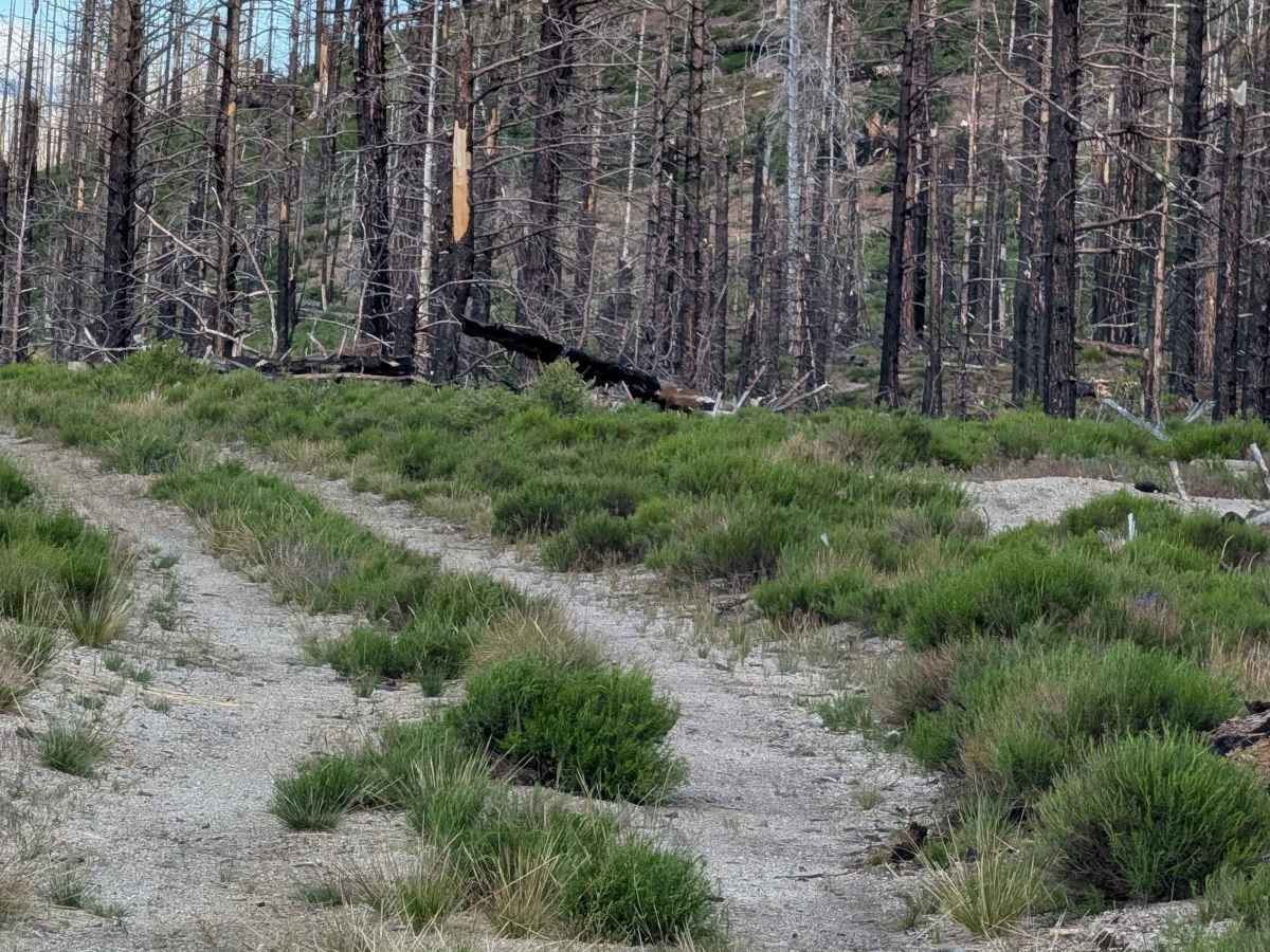
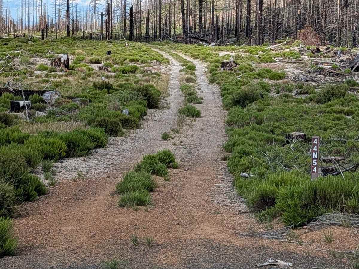
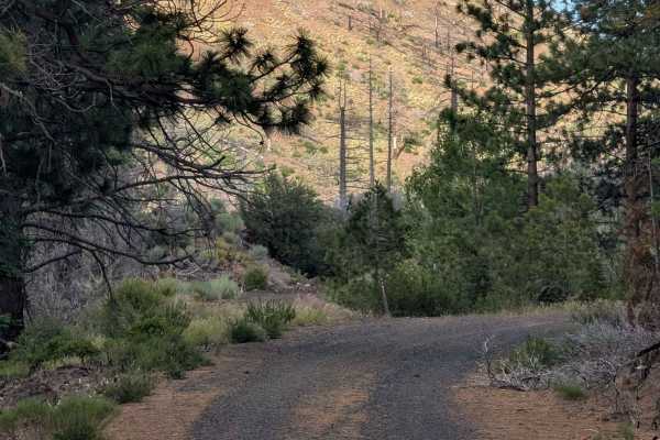
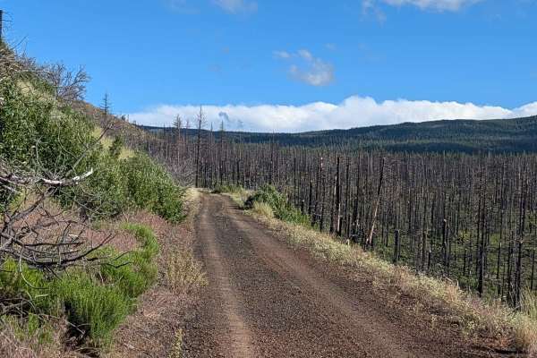
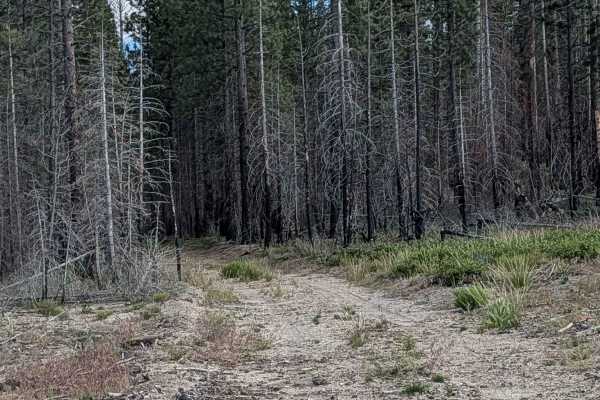
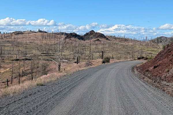
This 2-mile point-to-point connector runs through the Modoc National Forest, linking Tennant Lava Bed Road (FS 44N28) to the FS 44N23 junction. Like much of the surrounding landscape, this route passes through the burn scar of the 2021 Antelope Forest Fire. The trail offers a window into the forest's transition, featuring a mixture of standing dead timber and cleared sections. The ground vegetation is responding well, with a notable presence of yellow rabbit bush filling in the open areas.
Difficulty
Carrying a rating of 1, the trail is generally straightforward, though it can be "somewhat bumpy" due to its gravel and dirt composition. The primary navigation challenge is the vegetation growing in the median of the track. During peak growing seasons, when tall grasses grow over the center and edges of the path, the trail can become harder to follow; ensure you have a reliable map or GPS track to confirm your route if visibility is low. There are no technical obstacles, but the uneven surface suggests keeping a steady, moderate pace.