Trail Overview
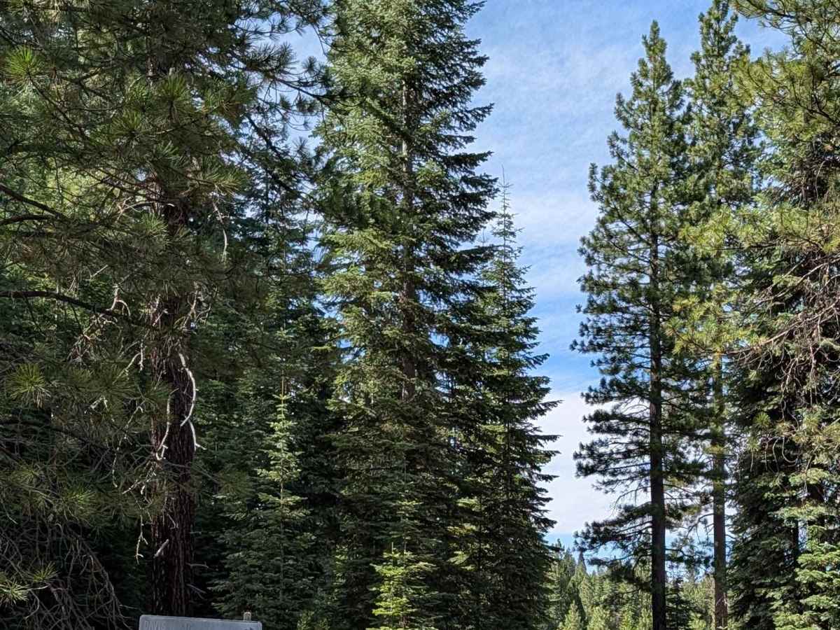
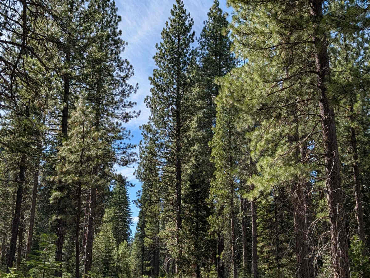
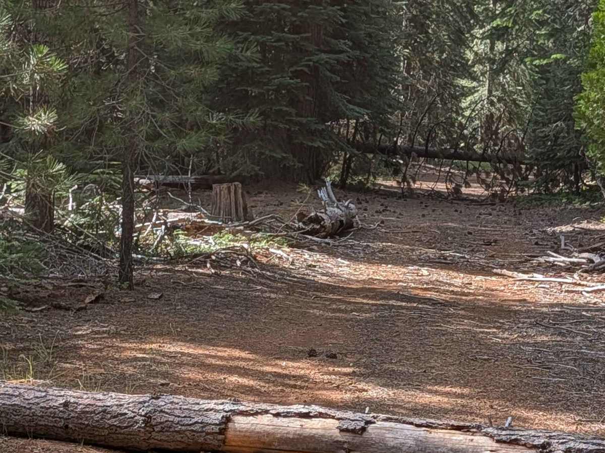
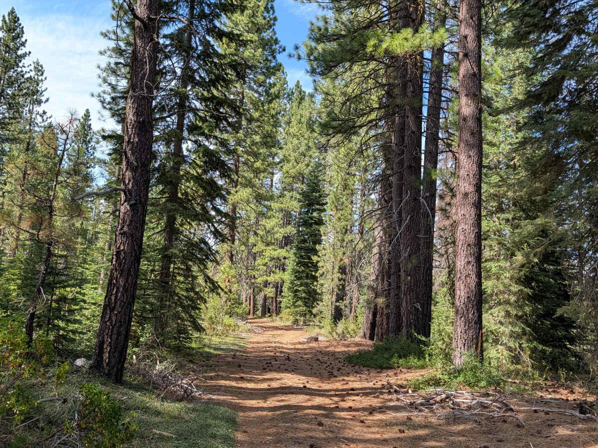
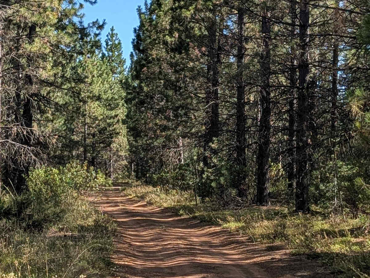
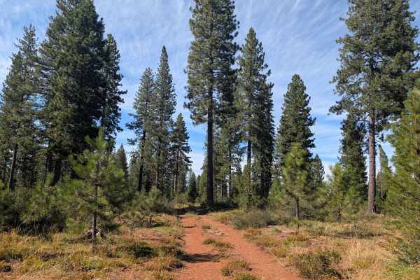
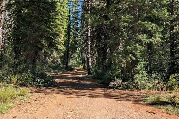
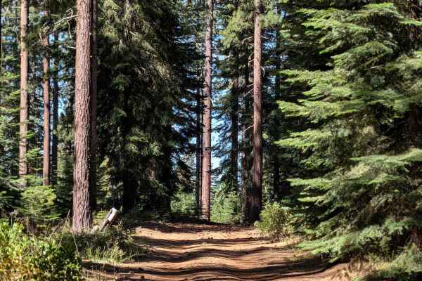
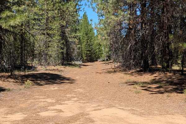
This point-to-point trail starts on Davis North - FS 42N04 and ends on Highway 15, also known as the Volcanic Legacy Scenic Byway, running through the Shasta National Forest amid lots of young pine trees. The trees show signs of a recent forest fire, adding some visible history to the otherwise regenerating landscape. The surface is fine, dusty dirt and one vehicle wide, with the median holding some overgrown grasses. A couple of sections have brush that has overgrown the trail, so expect pinstripes through those stretches. Overall, though, the trail is fairly smooth; pine cones scattered on the surface are about the only bumpy element you'll encounter.
Difficulty
This trail has an easy difficulty rating 1, reflecting the smooth, fine dirt surface and lack of significant obstacles. The only real consideration is the brief brush contact in a couple of overgrown sections.