White Deer Well - FS 42N80

Total Miles3.3
Technical Rating
2Easy
Best TimeFall, Summer, Spring
Trail TypeFull-Width Road
Accessible By
Open Trail Map

Trail Overview

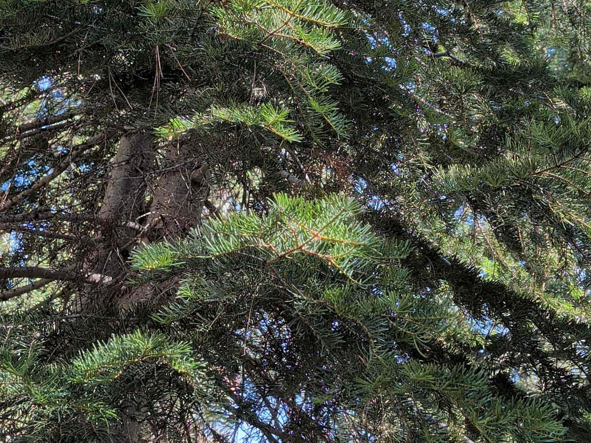
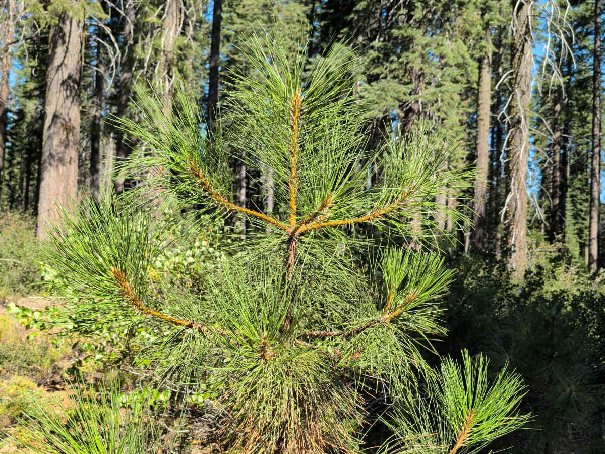
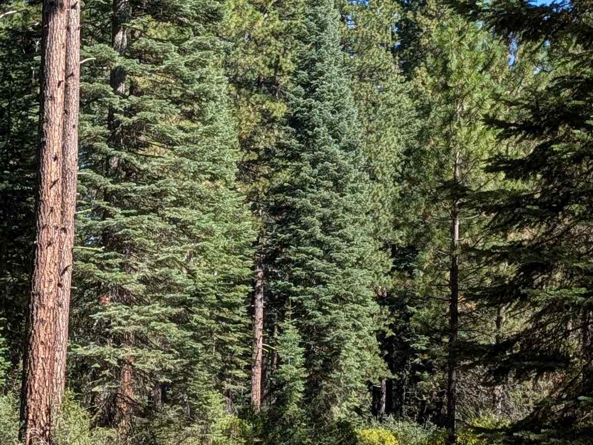
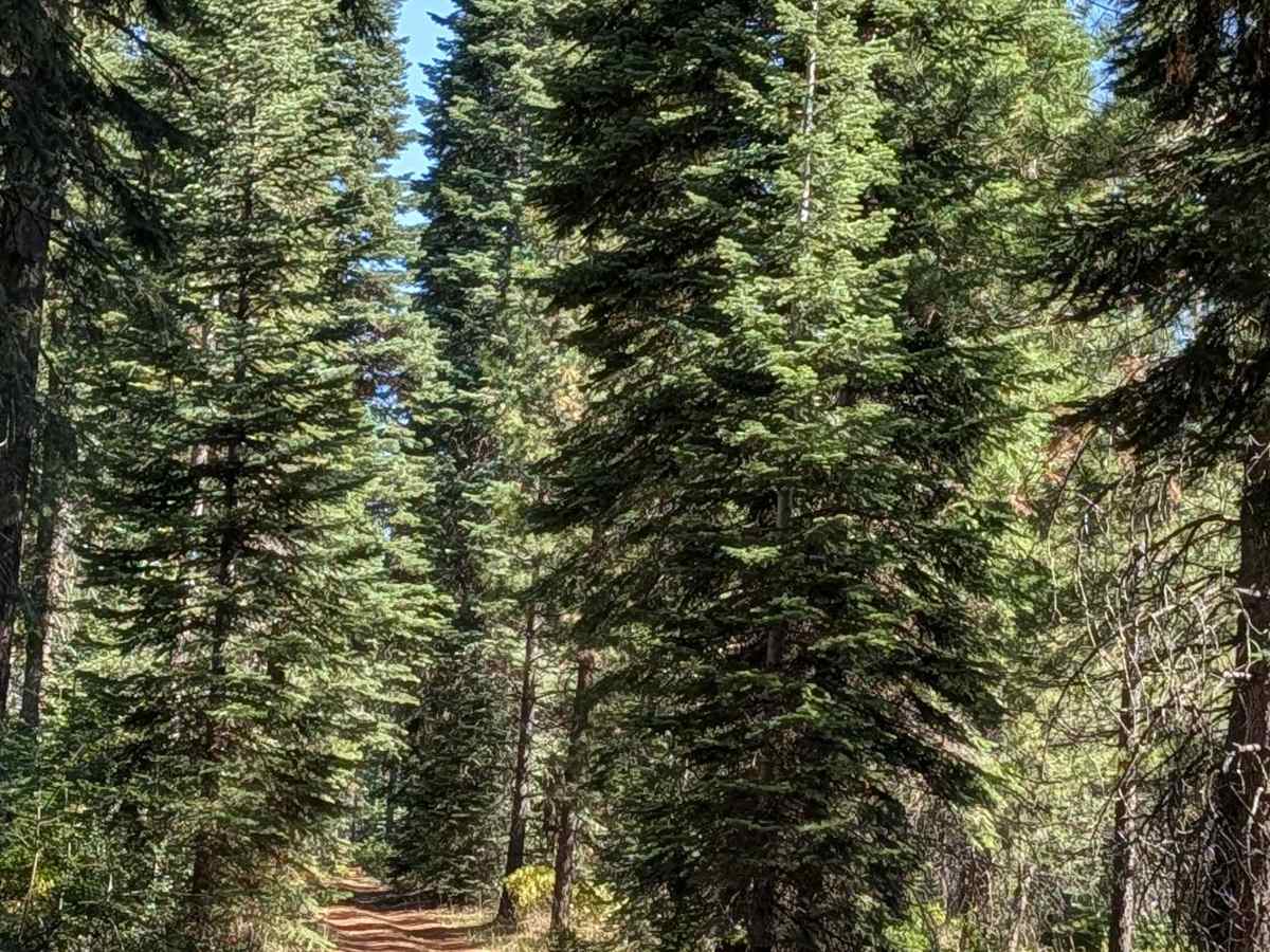
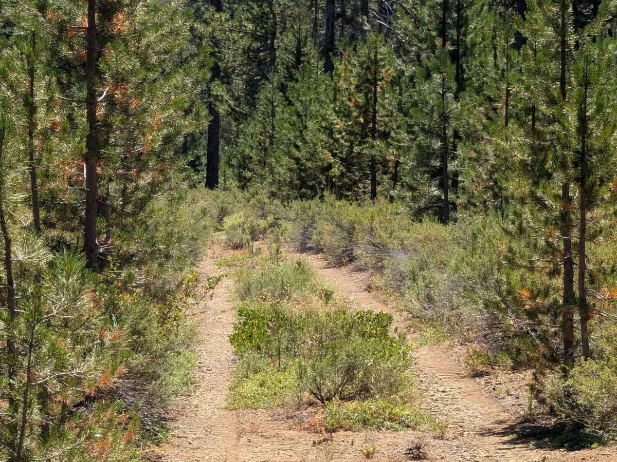
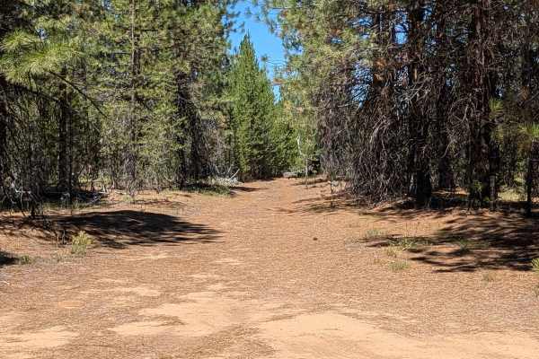
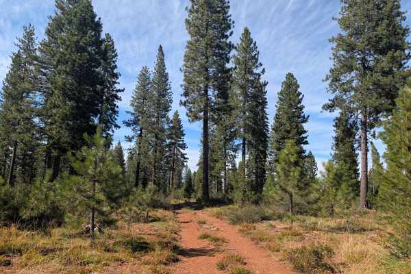
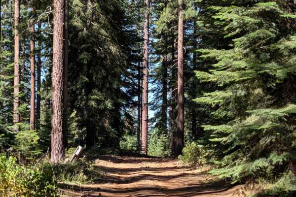
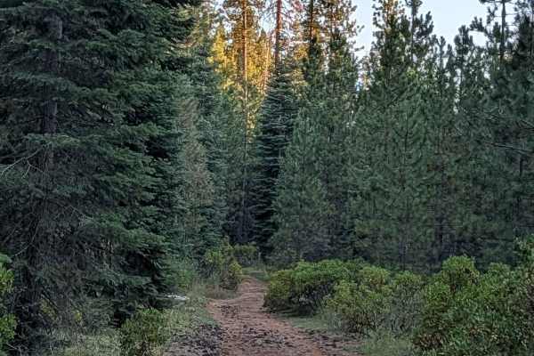
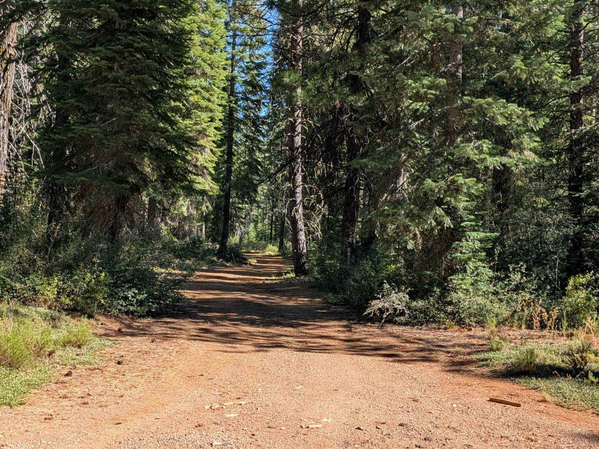
This 3.5-mile point-to-point trail runs from Highway 49 (also known as Medicine Lake Road) to Hutalot -FS 41N88, passing the west side of White Deer Lake along the way. The route sits within the Shasta National Forest, surrounded by tall pines including Colorado white fir and ponderosa pine. Hard-packed dirt makes up the trail surface, which stays 1.5 vehicles wide and gets quite dusty. A large tree down along the route has an established drive around it, so this doesn't block passage. A few other downed trees also require some maneuvering. In a couple of sections, overgrown bushes crowd the sides of the trail, so pinstripes are possible there. The final 1.5 miles on the north side cut through a young pine forest, still within the Shasta National Forest. This stretch narrows considerably, lined with new growth, bushes, and trees, along with overgrown vegetation in the median.

Photos of White Deer Well - FS 42N80

Difficulty

This trail carries an easy difficulty rating 2. The main considerations are maneuvering around the down trees, watching for pinstripes in the brushier sections, and navigating the narrower, overgrown final 1.5 miles on the north end.

Technical Rating

2

White Deer Well - FS 42N80 Trail can be accessed by the following ride types:

  • Single Track
  • 50 Inch
  • 60 Inch
  • High Clearance
  • Full Width

White Deer Well - FS 42N80 Map

The onX Offroad Difference

onX Offroad combines trail photos, descriptions, difficulty ratings, width restrictions, seasonality, and more in a user-friendly interface. Available on all devices, with offline access and full compatibility with CarPlay and Android Auto. Discover what you're missing today!

Open Trail Map