White Deer Lake West - FS 41N40

Total Miles1.2
Technical Rating
2Easy
Best TimeFall, Spring, Summer
Trail TypeFull-Width Road
Accessible By
Open Trail Map

Trail Overview

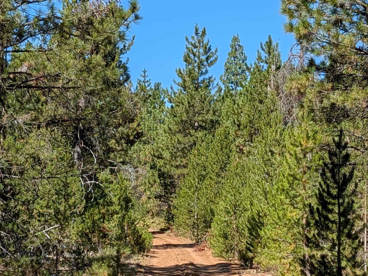
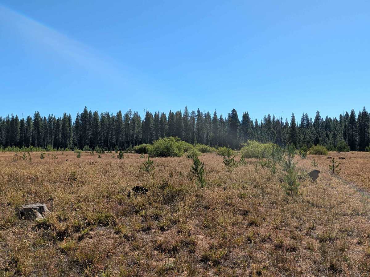
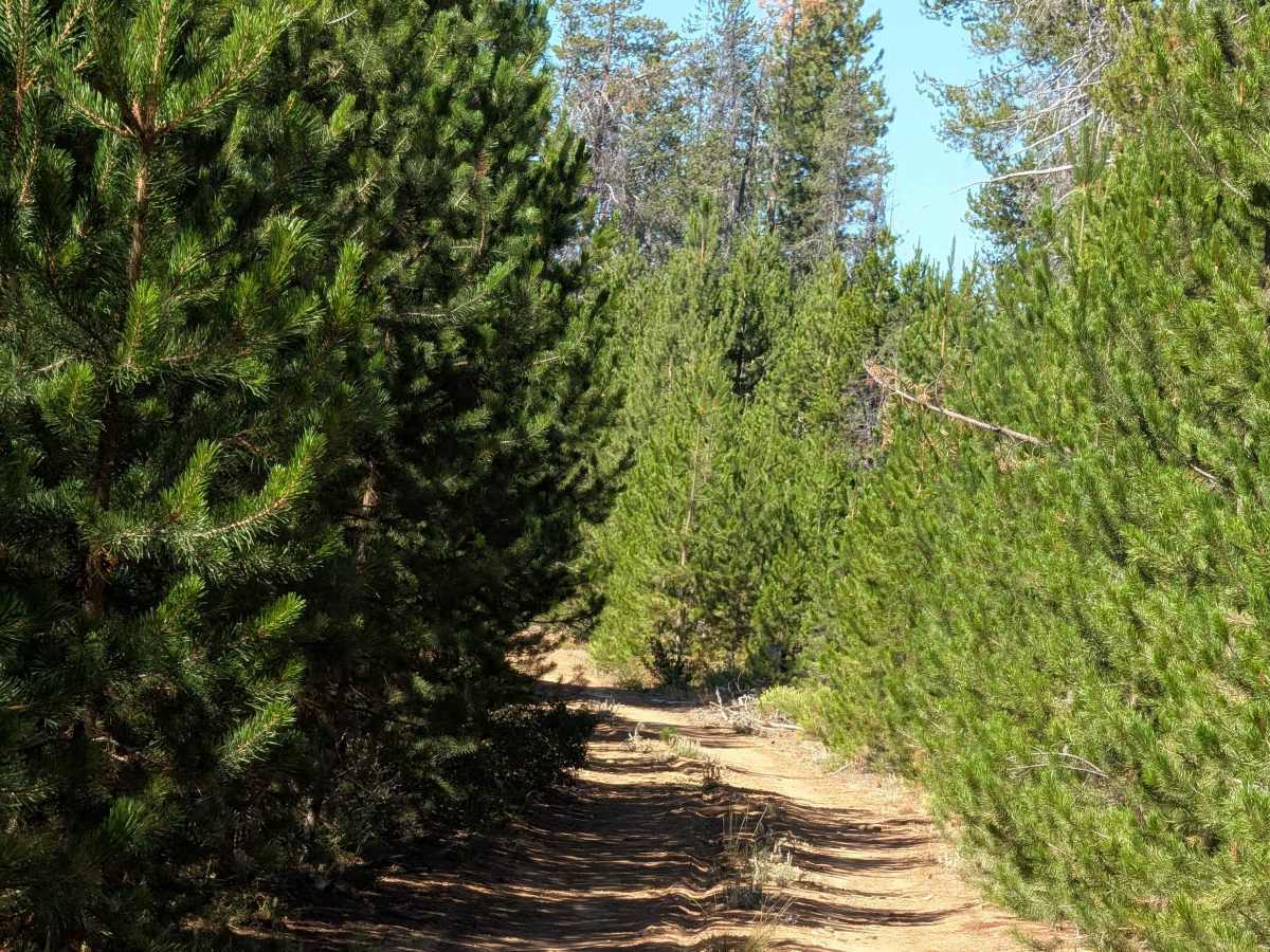
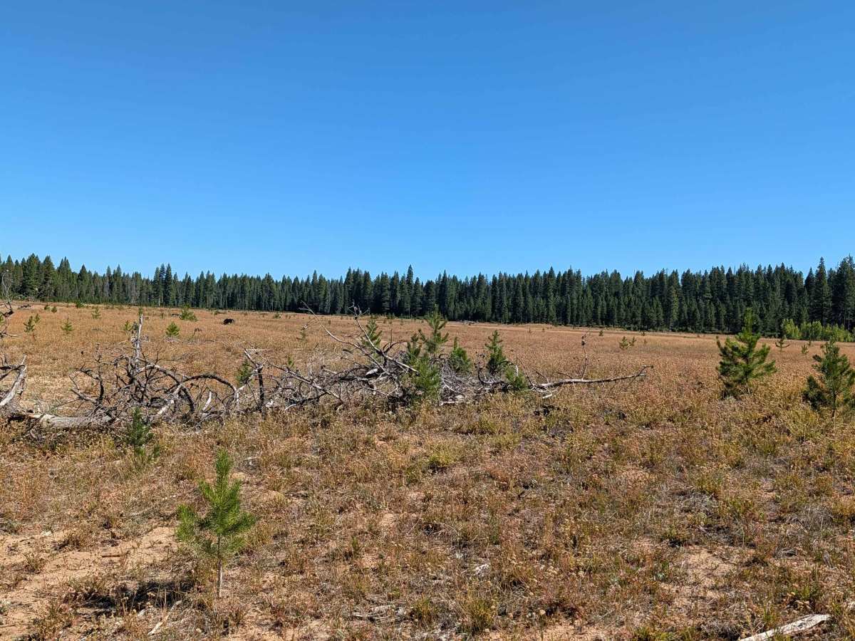
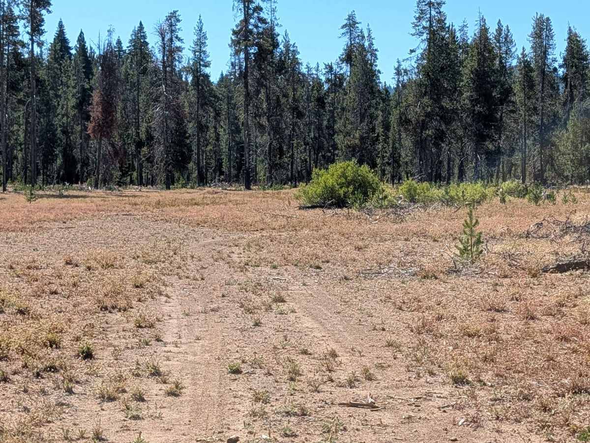
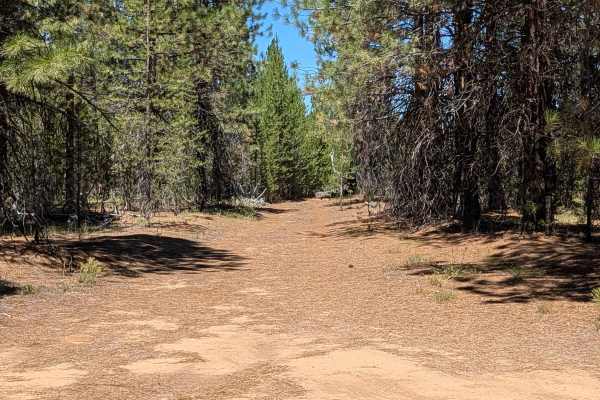
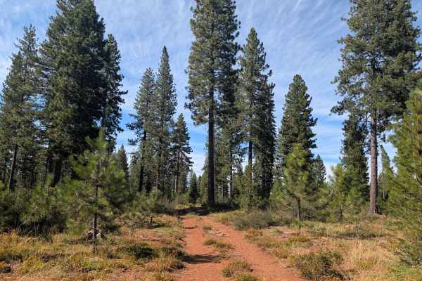
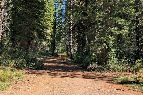
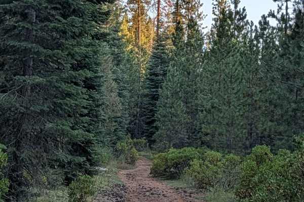
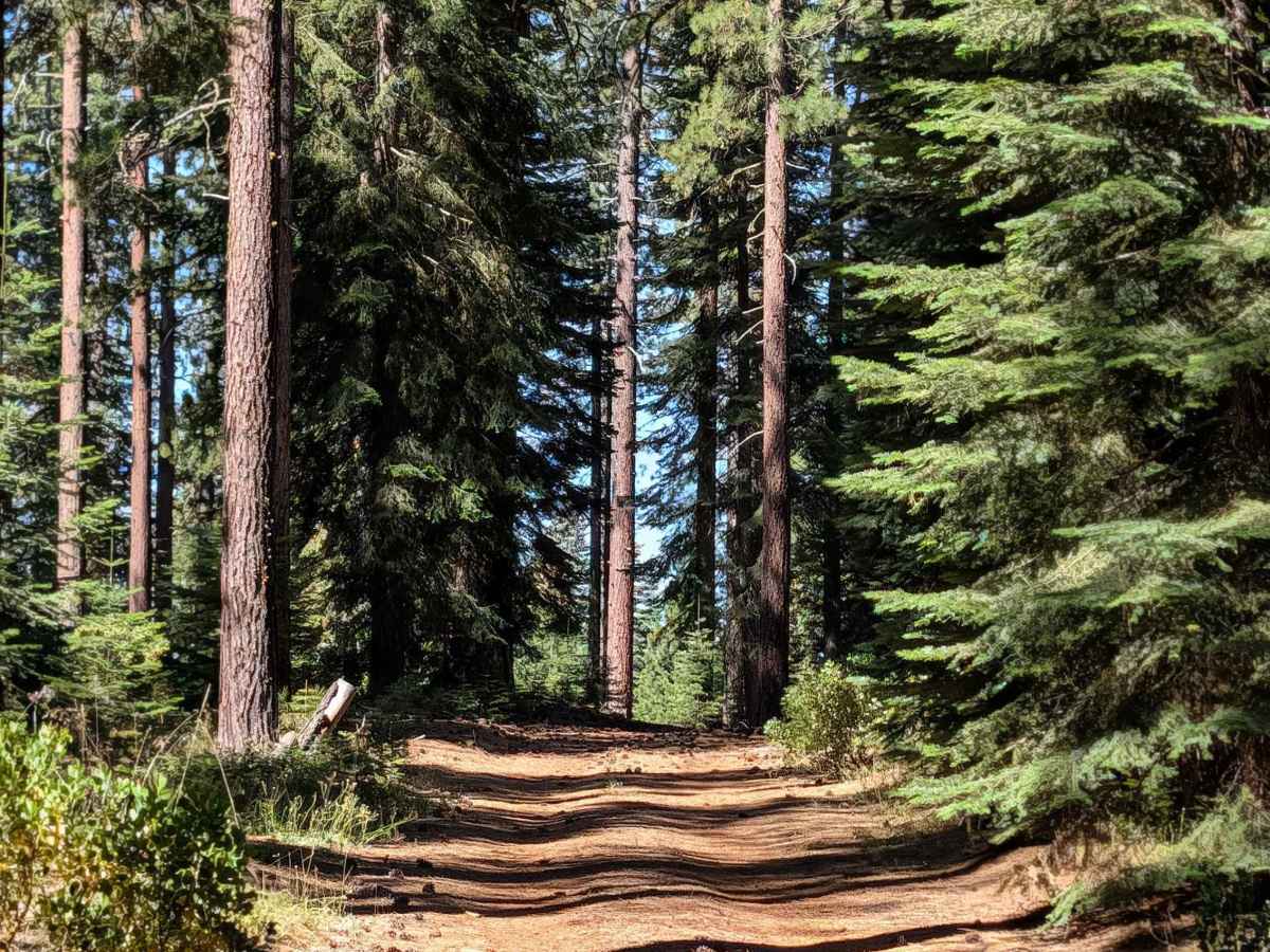
This trail leads to the west side of White Deer Lake, a former lake that has since dried up. As part of an active restoration project, visitors should stay off the lake itself, though plenty of dispersed camping spots are available in the surrounding area outside the lake bed. The route runs through the Shasta National Forest, where the flora shifts noticeably along the way, from new young pines to more mature stands of trees. Some of the young pines and manzanita bushes have grown in tight against the trail, so pinstripes are a possibility in these sections. Drivers will also encounter slightly off camber terrain and small ruts along the route.

Photos of White Deer Lake West - FS 41N40

Difficulty

This trail carries an easy difficulty rating 2. Expect to manage some off-camber sections and small ruts, along with the chance of brush contact where vegetation has grown close to the trail.

Technical Rating

2

White Deer Lake West - FS 41N40 Trail can be accessed by the following ride types:

  • Single Track
  • 50 Inch
  • 60 Inch
  • High Clearance
  • Full Width

White Deer Lake West - FS 41N40 Map

The onX Offroad Difference

onX Offroad combines trail photos, descriptions, difficulty ratings, width restrictions, seasonality, and more in a user-friendly interface. Available on all devices, with offline access and full compatibility with CarPlay and Android Auto. Discover what you're missing today!

Open Trail Map