Trail Overview
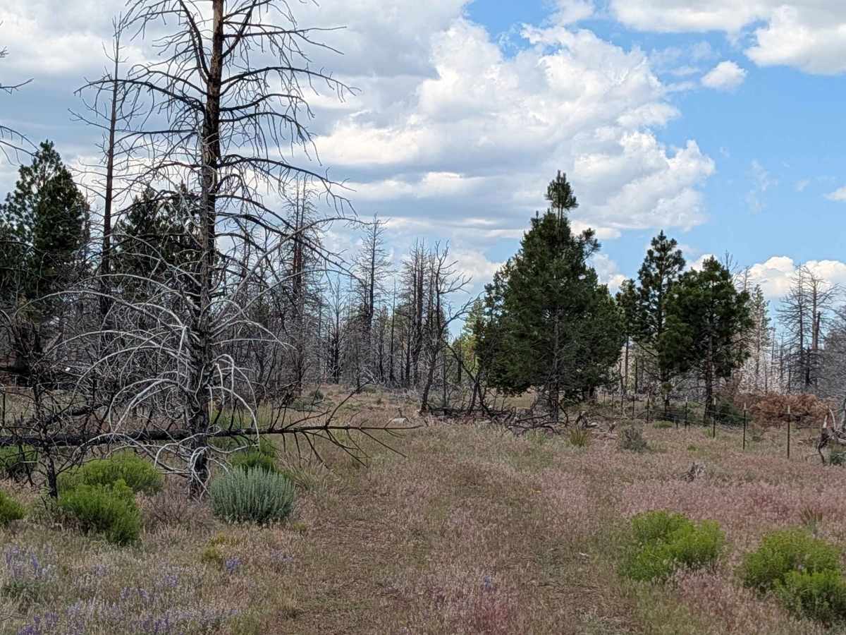
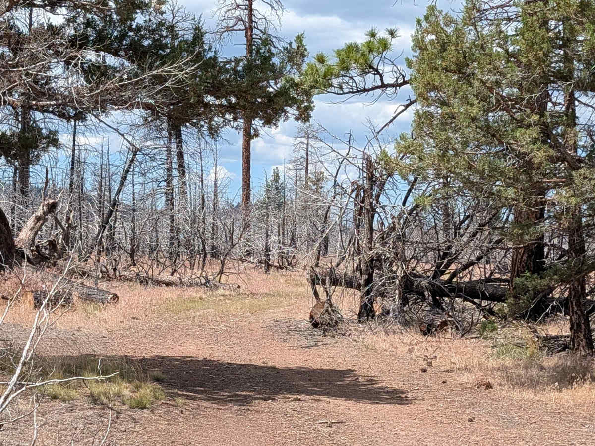
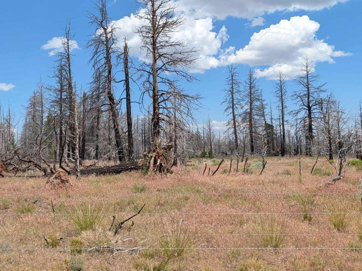
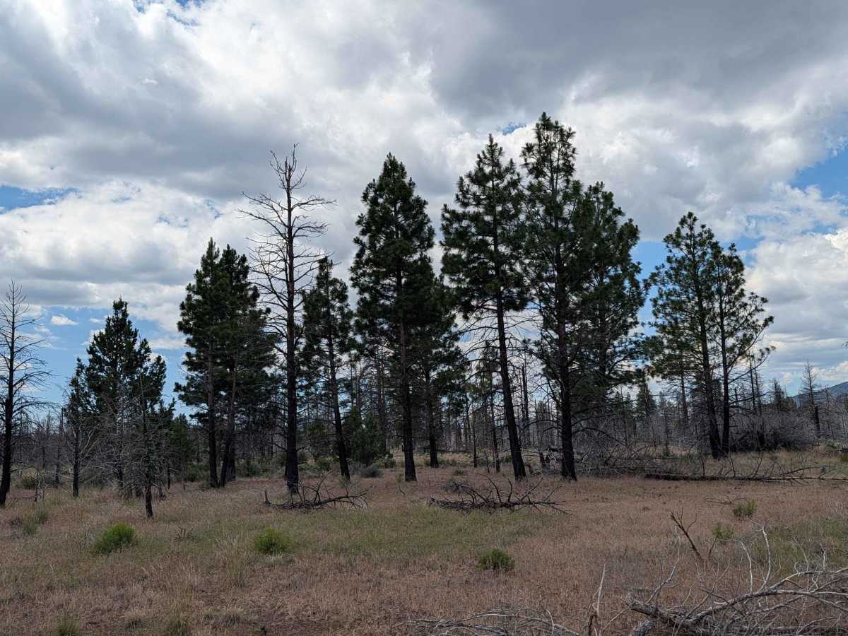
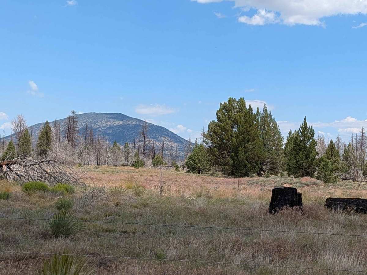
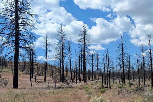
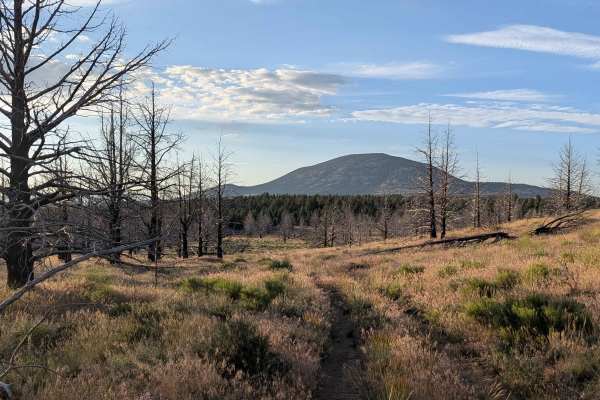
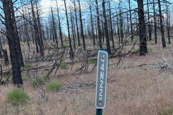
This route serves as a functional connector beginning at the south side of Porterfield Ranch, providing a passage toward the Absolutely Nothing - FS44N22Y trail, which ultimately links to Highway 10. The landscape is defined by the lasting impact of the 2021 Antelope Forest Fire, with clear evidence of the burn scar visible throughout the surrounding area. The environment consists of a mix of sparse, charred pine stands and low-lying sagebrush. While the route offers a glimpse into the ongoing recovery of this forest region, it is primarily utilitarian in nature, designed for transit through the high-desert terrain rather than as a destination for scenic vistas.
Difficulty
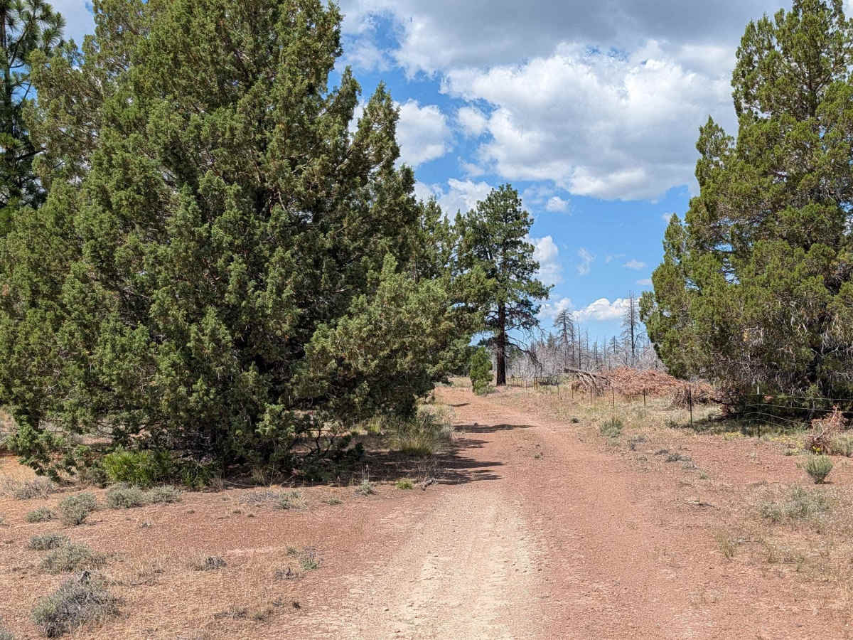
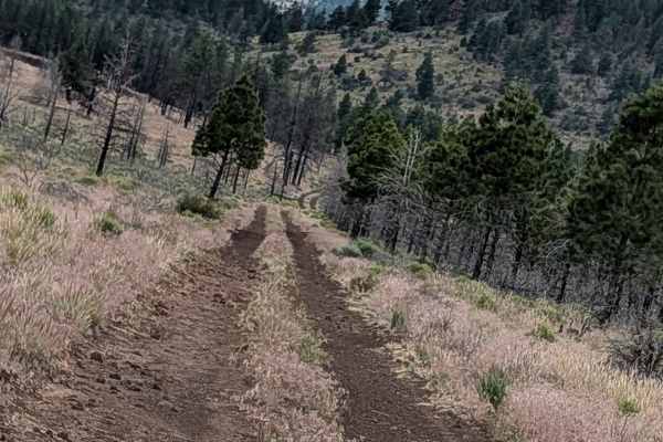
The trail is straightforward, featuring a surface of hard-packed dirt that provides generally consistent traction. It is rated as a 2, as it lacks significant technical obstacles and is easily traversable under normal conditions. However, because the area was significantly affected by the 2021 Antelope fire, drivers should remain vigilant for debris or shifts in the road surface caused by erosion in the post-fire landscape. The path is flanked by very small sagebrush and isolated pine trees, posing minimal risk of vehicle pinstriping, but the open nature of the burn zone means that path conditions can change after severe weather.