Trail Overview
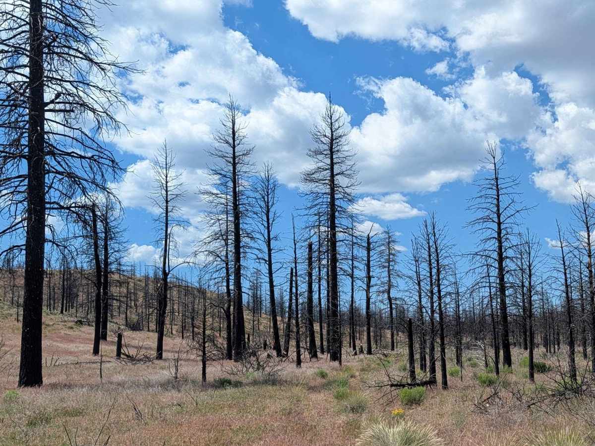
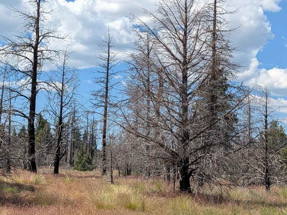
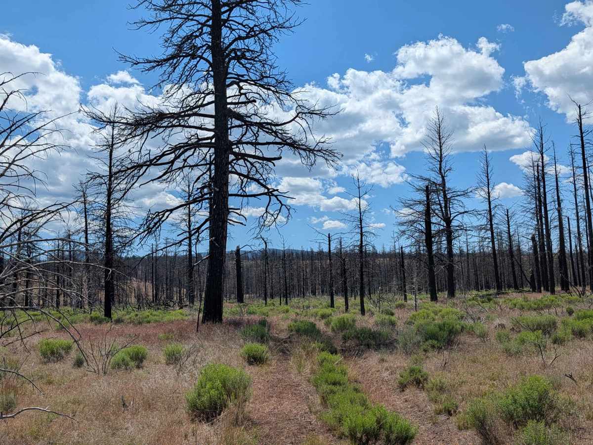
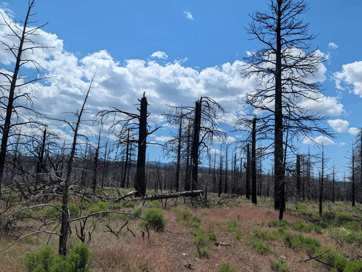
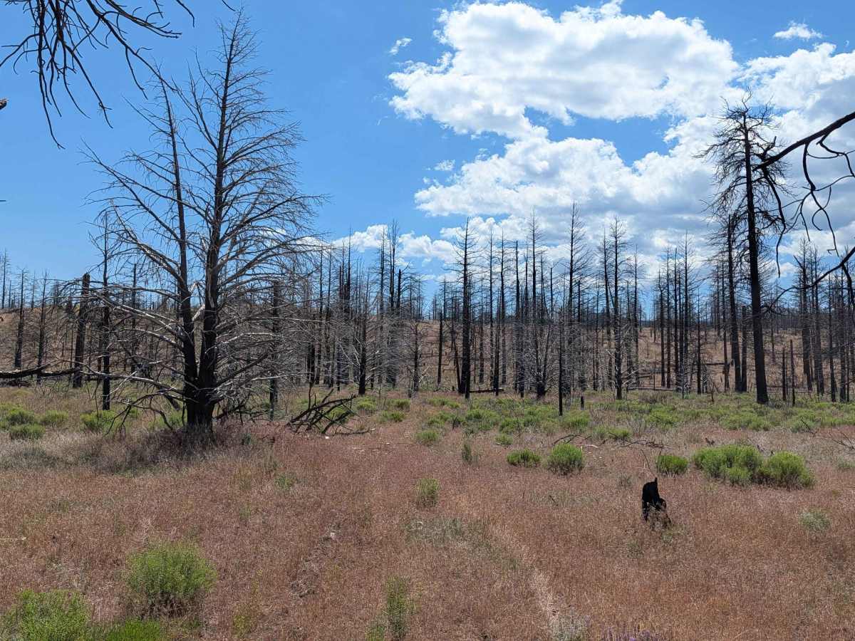
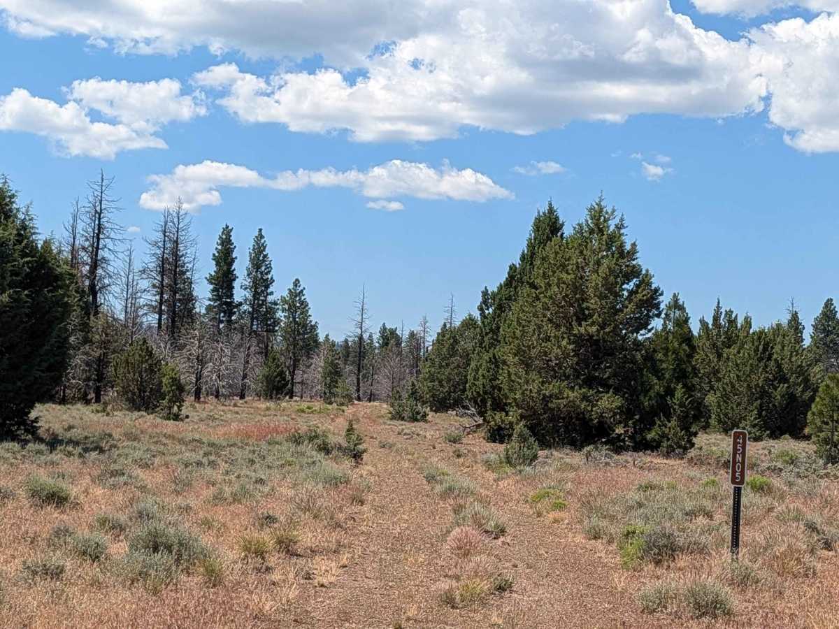
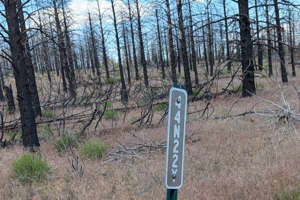
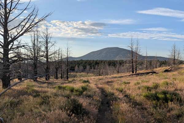
This route winds through a serene landscape within the Modoc National Forest, transitioning between expansive open meadows and sparse pine tree forests. The area bears significant evidence of a past forest fire, creating a unique environment where the regrowth of the forest can be observed against a backdrop of older, fire-scarred timber. The trail provides a quiet, introspective journey, offering a glimpse into the natural recovery process of the high-desert ecosystem. As you traverse this path, you are surrounded by the raw, natural beauty of the forest, making it an excellent choice for those who appreciate landscapes defined by historical ecological change and quiet, remote exploration.
Difficulty
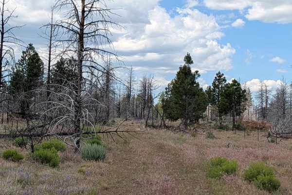
While this trail is rated as a 2, it requires a higher degree of driver engagement due to vegetation and fire-related debris. The grass along the route is frequently overgrown, which can obscure the path and make route-finding a challenging task that requires steady navigation. You will encounter occasional downed trees, which are a lingering result of the previous forest fire. Though these are mitigated by well-established, built-in bypasses that allow for continued passage. The combination of potentially hidden trail edges and forest debris means that maintaining a moderate, observant pace is essential for safely navigating this scenic but unmaintained forest corridor.


 Offroad