Trail Overview
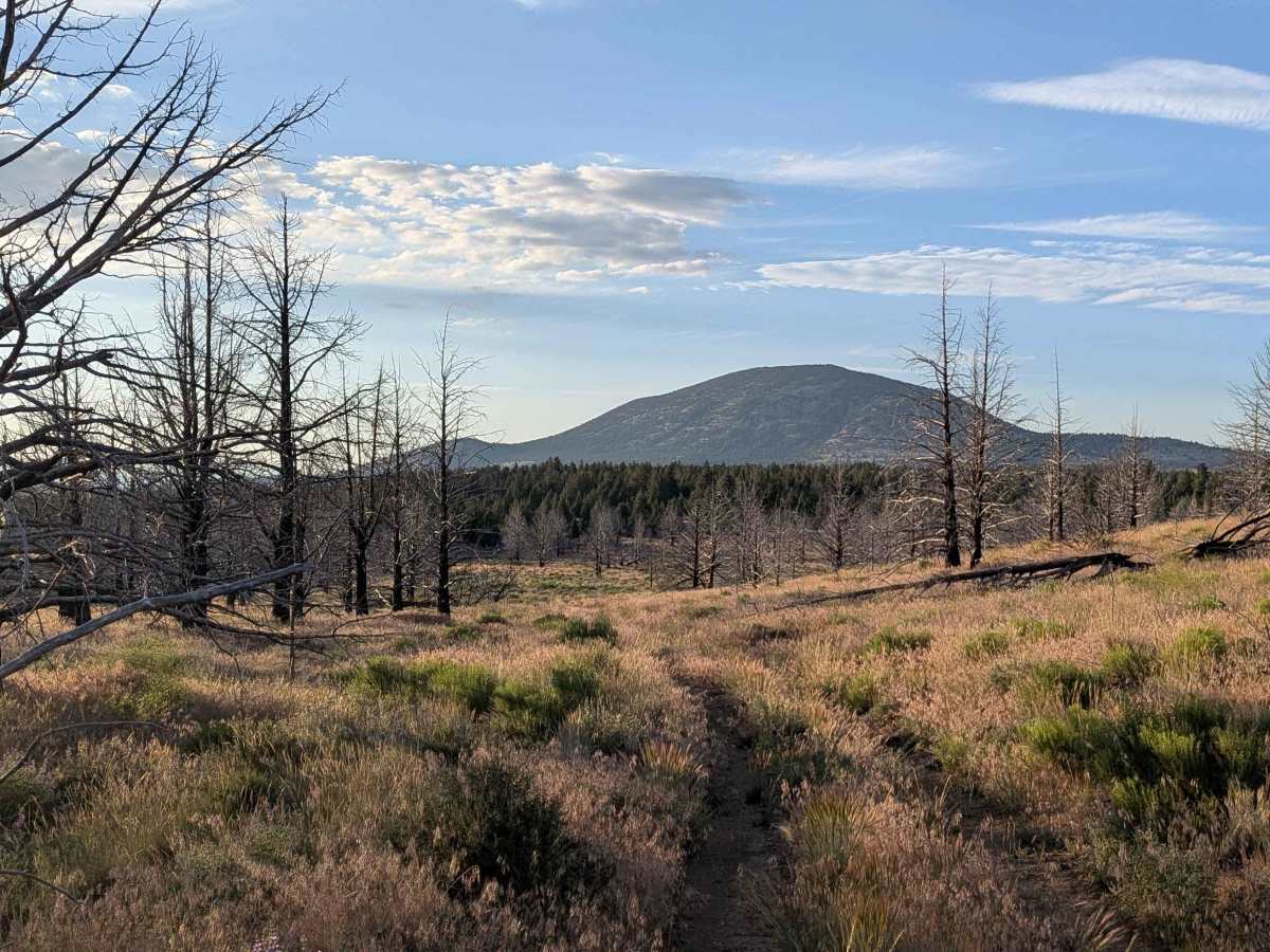
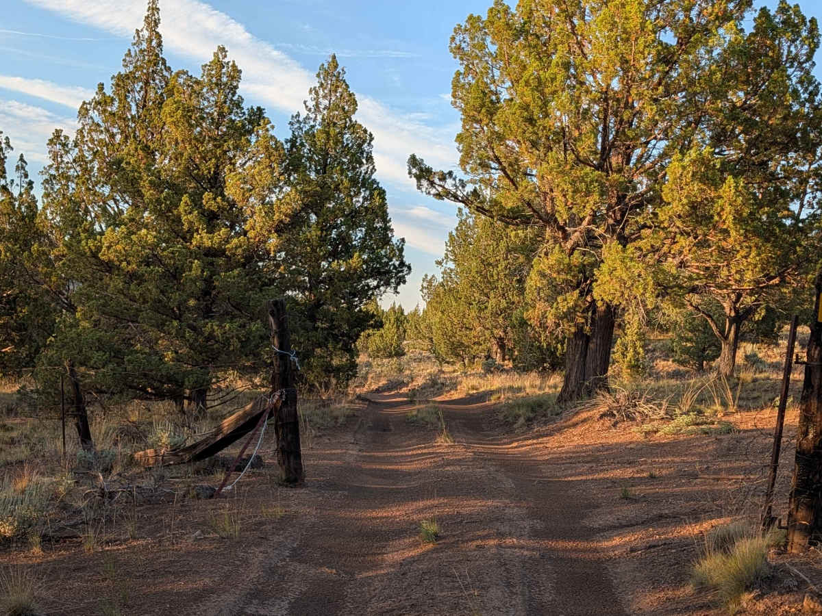
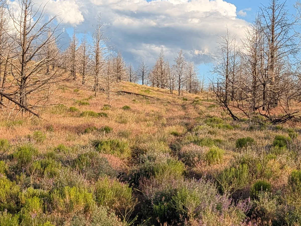
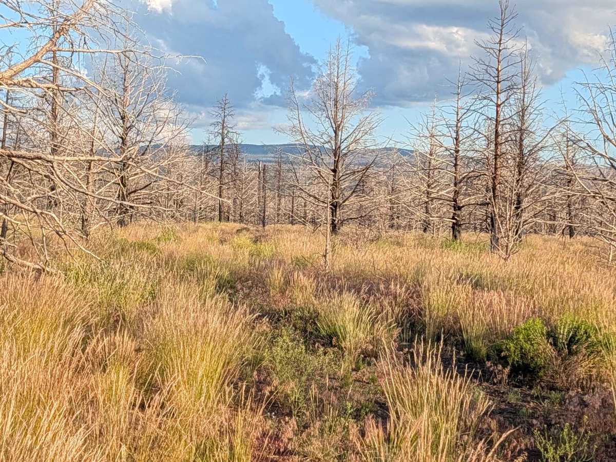
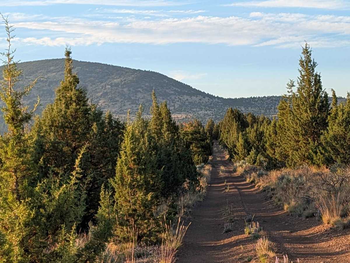
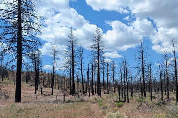
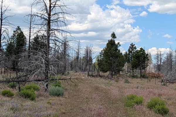
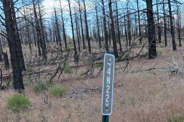
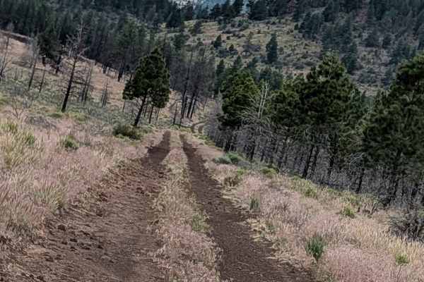
This route serves as a unique, though cautionary, transition through contrasting landscapes. The northern section, situated on BLM land, is characterized by a denser forest canopy where trees grow in close proximity to the trail, offering a more enclosed driving experience. As the trail moves south into the Modoc National Forest, the character of the terrain shifts dramatically into a forest devastated by past wildfires. Here, you are surrounded by stands of dead pines and tall, encroaching grasses. While the route offers a striking look at forest regeneration and fire history, it also crosses through small sections of private land at both the southern and northern extremities, requiring travelers to be mindful of property boundaries. There are a bunch of trees down 1/2 mile from the south side, and we cannot cut through. You can travel around 1000 yards up the south section
Difficulty
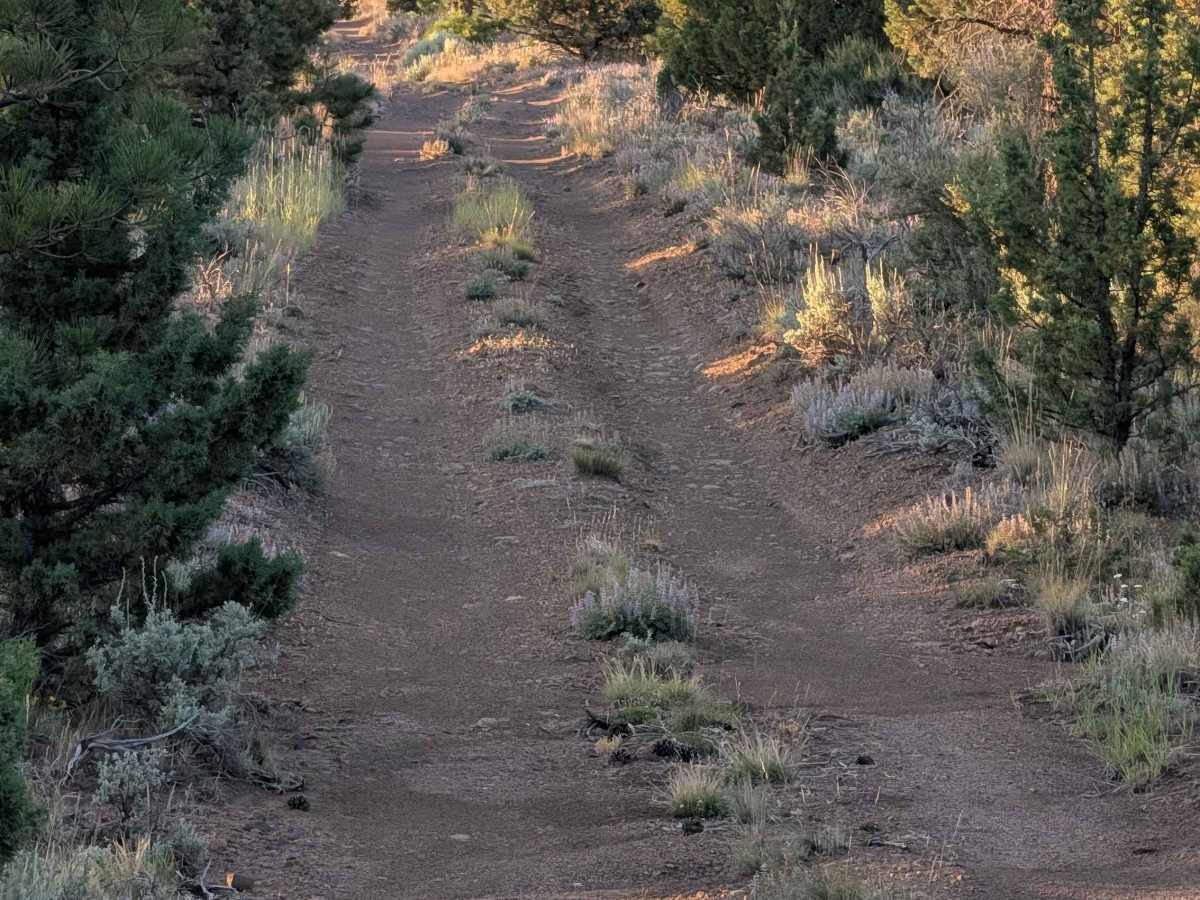
While the trail carries a rating of 2, safety is the primary concern here. The southern half of the route is lined with unstable, fire-damaged trees; use extreme caution, as these trees are susceptible to falling. Furthermore, part of the final mile on the southern end is currently impassable due to a high volume of downed trees blocking the path. In the northern BLM section, the primary challenge is the tight spacing between trees, which poses a high risk of pinstriping your vehicle. The trail features a few small ruts, but overall, it lacks significant technical off-road obstacles. Due to the overgrown grass in the southern meadow and the potential for fallen debris, high-clearance vehicles are recommended for better visibility and safety.