Trail Overview
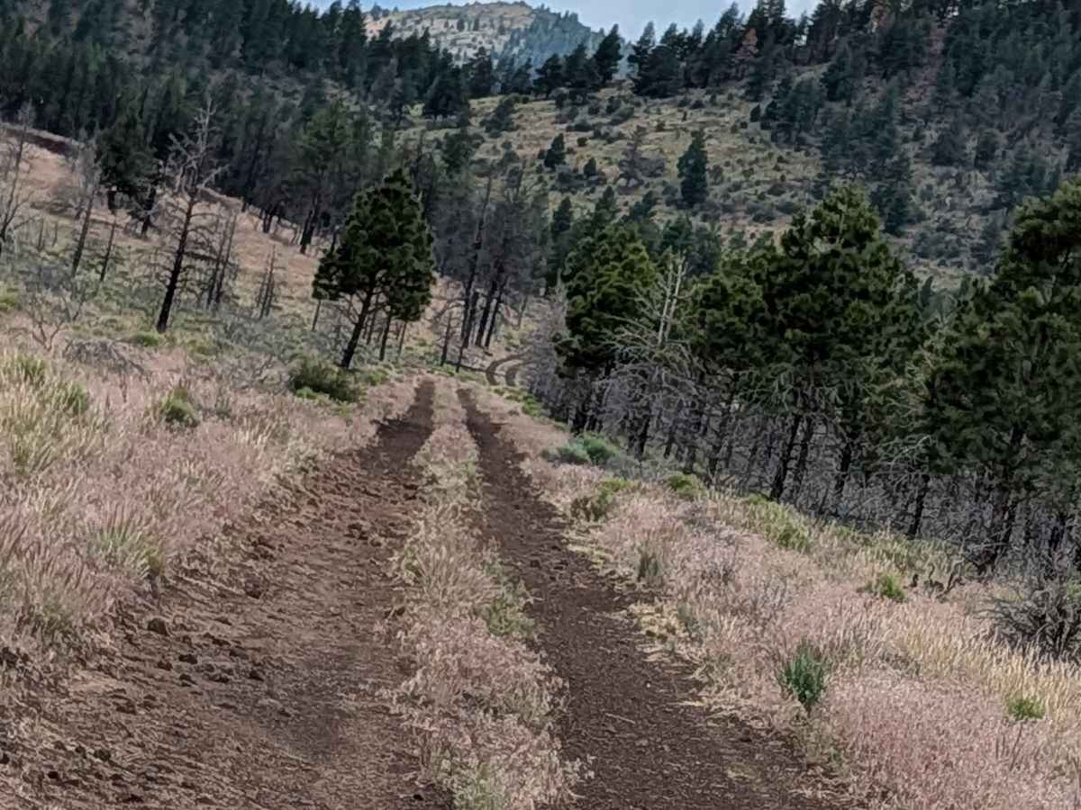
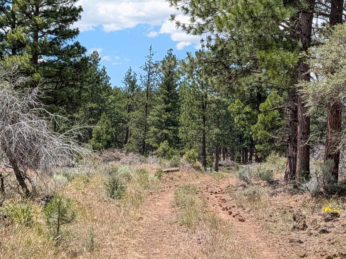
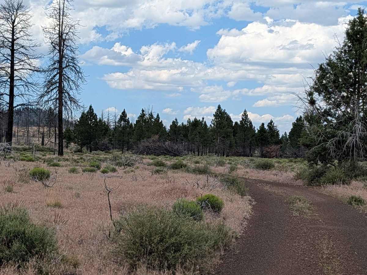
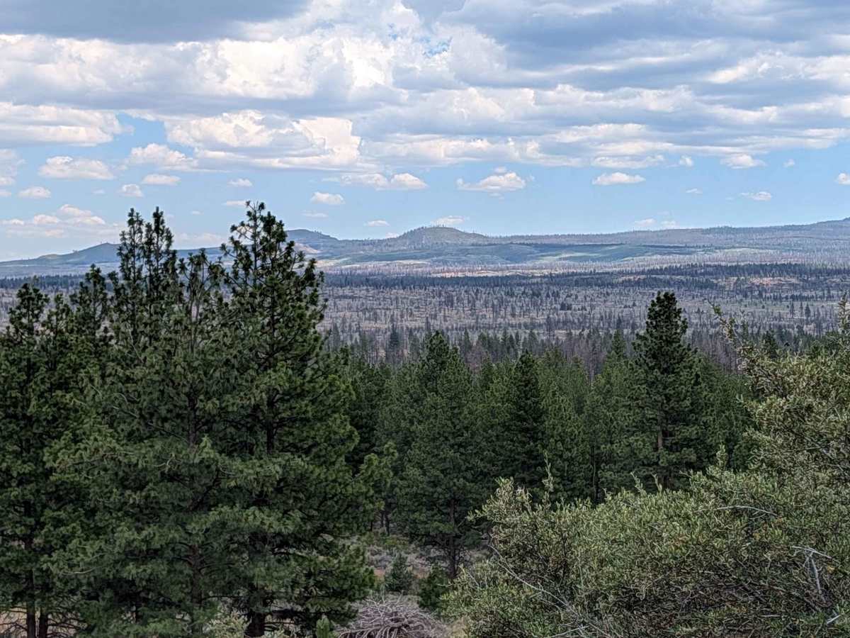
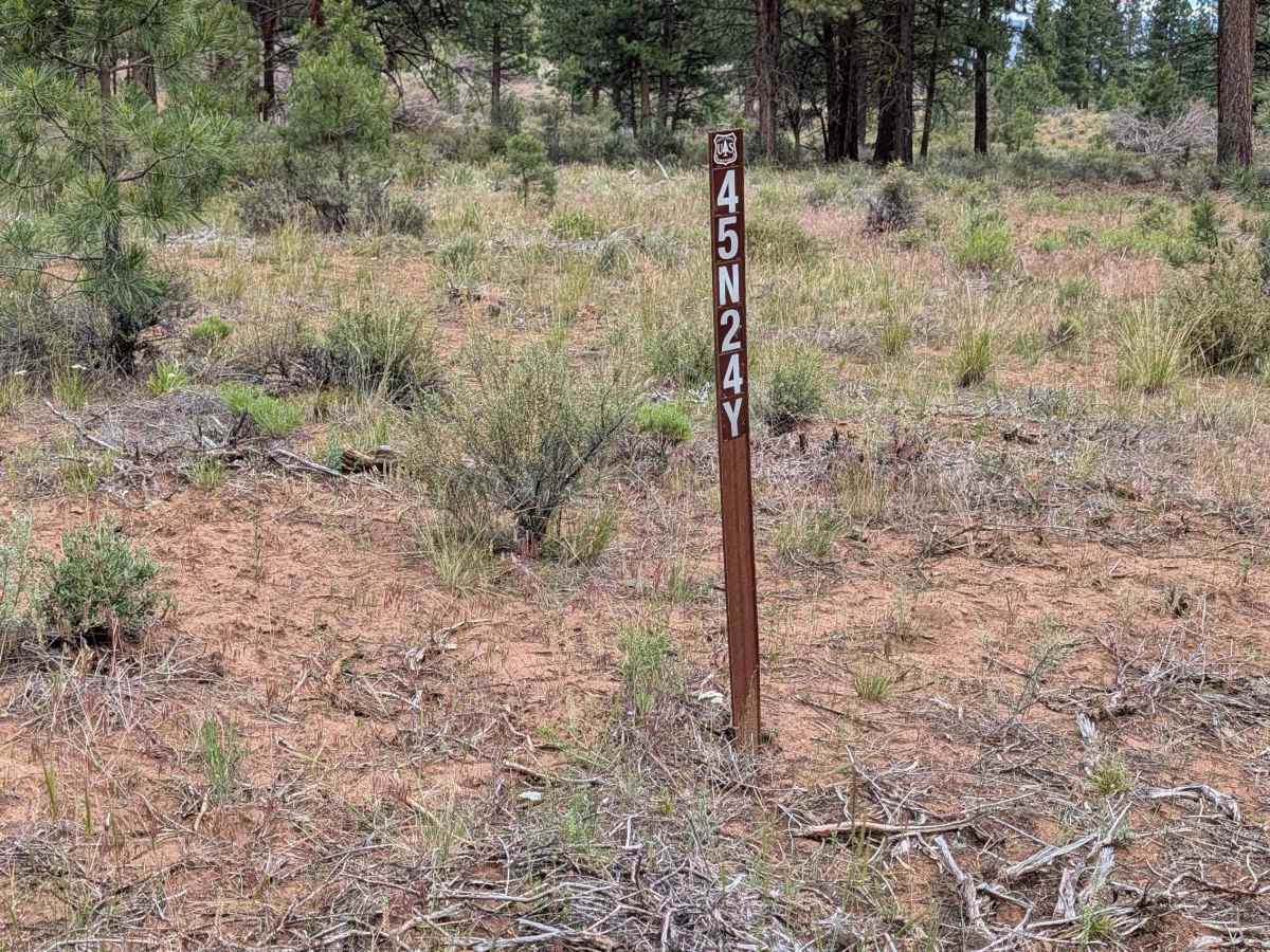
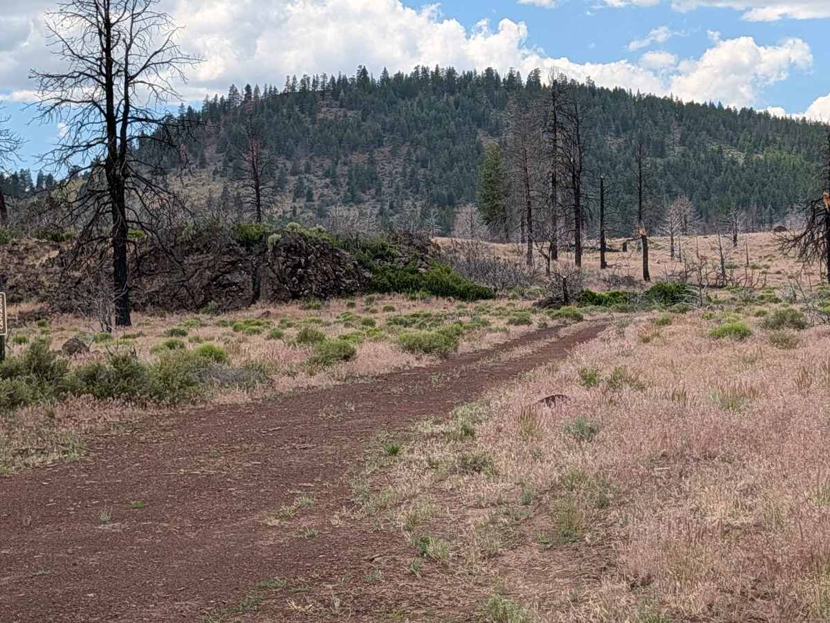
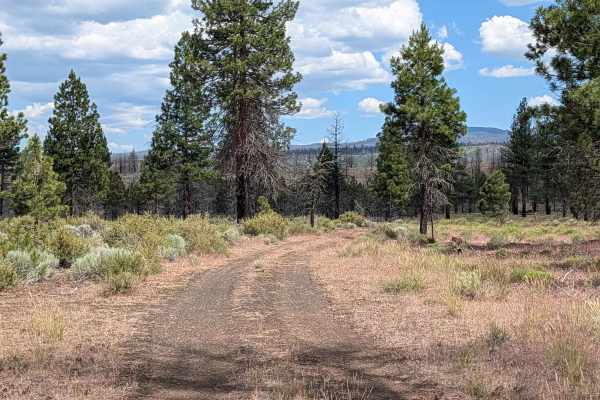
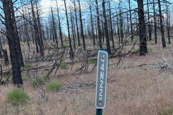
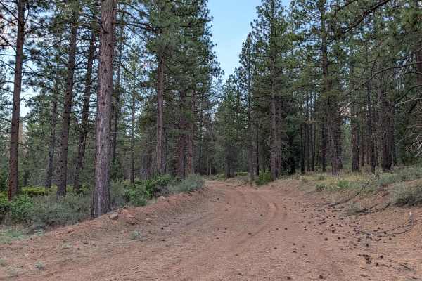
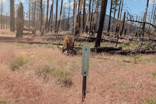
This route begins off Highway 15 and serves as a direct line toward the Three Sisters landmark. The first mile of the journey traverses the aftermath of the 2021 Antelope Fire, where you will pass through a landscape defined by charred, standing timber; please note that the trail has been officially rerouted in this section to navigate around the fire-affected terrain. Beyond the first mile, the scenery shifts into a healthy, open forest of pine trees that is not overly dense, offering a refreshing contrast to the burn zone. As the trail climbs higher, it transitions into a series of wide shelf roads that provide sweeping, breathtaking views of the valleys and mountain ranges below.
Difficulty
The trail carries a rating of 2 and is generally manageable for high-clearance vehicles. The surface is dirt and roughly one vehicle wide, winding through terrain that frequently features overgrown grasses and brush in the center median, which necessitates careful line selection. You will encounter several ruts reaching up to 12 inches in depth, though these are wide enough to be easily bypassed. As you ascend, the trail’s width remains consistent, but the shelf-road sections require steady steering and attention to the edge drop-offs. The primary challenge is the combination of uneven, rutted soil and vegetation, so maintain a controlled speed throughout the climb.