Trail Overview
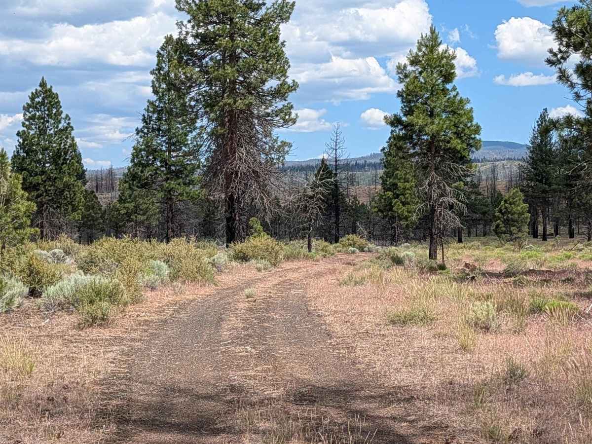
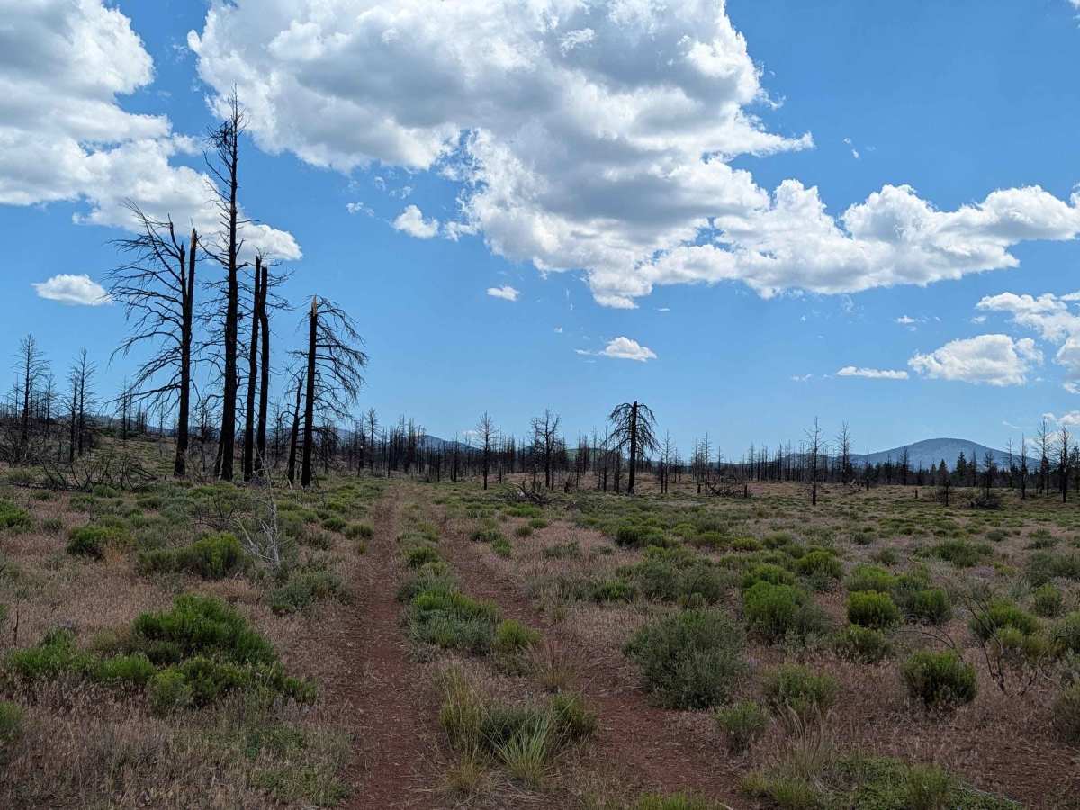
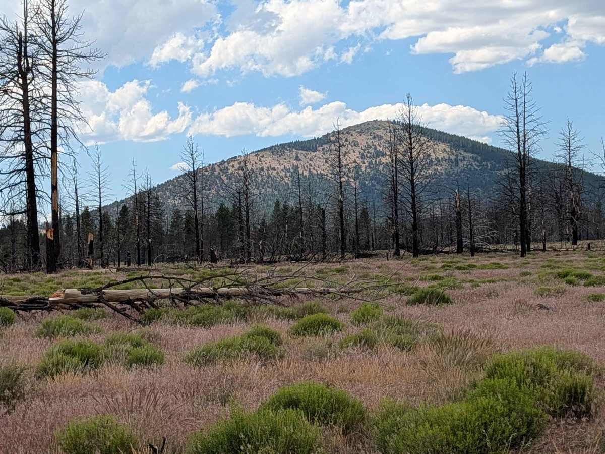
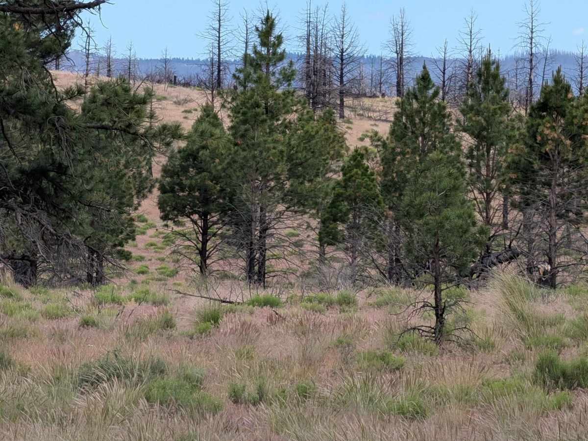
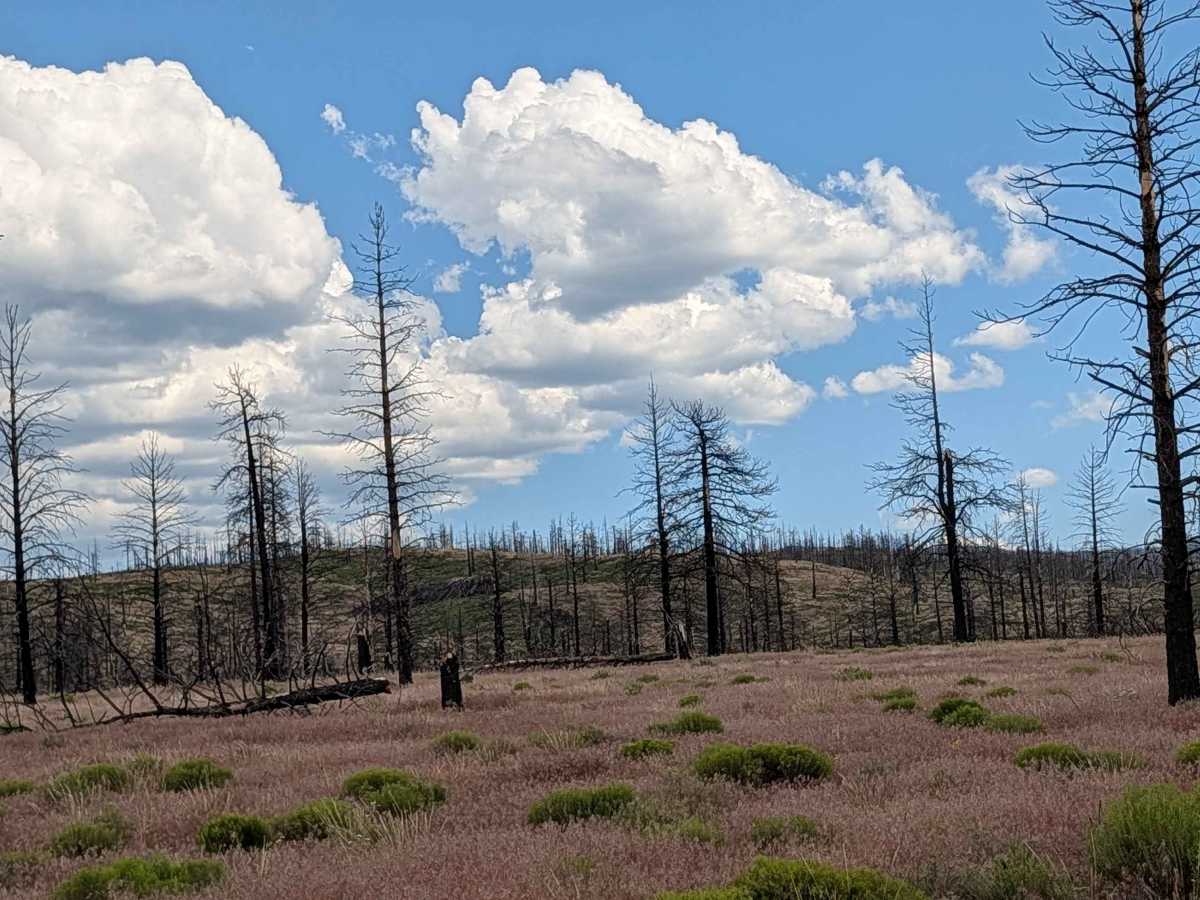
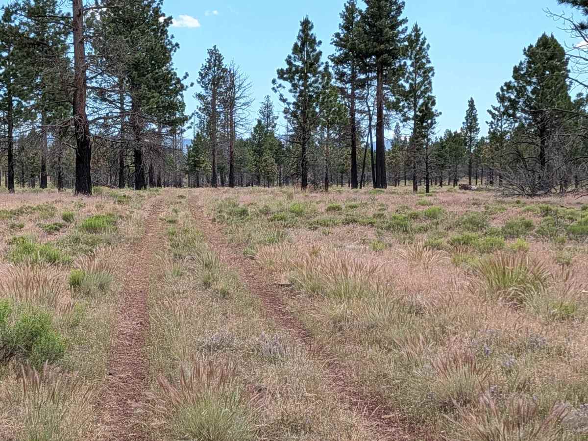
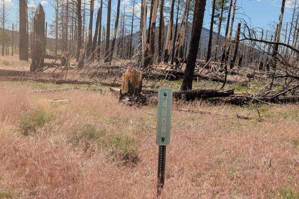
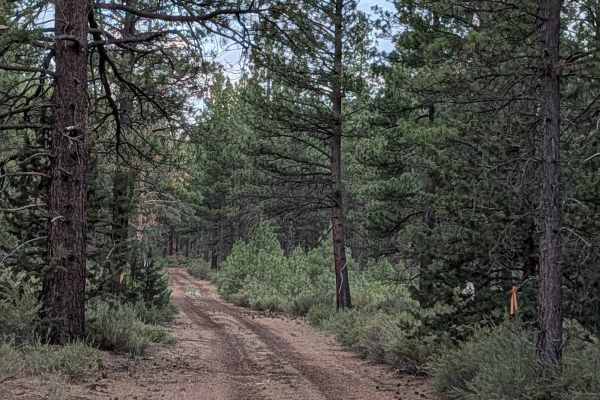
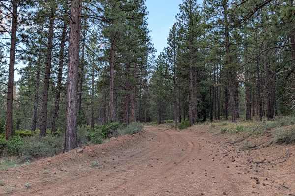
This 3-mile point-to-point route serves as a functional and scenic corridor running north to south, paralleling Highway 10 through the Modoc National Forest. The trail connects Highway 15 to the Dock Wells area FS 44N05 and traverses an area that marks the edge of the 2021 Antelope Fire, offering a look at the transition between recovering burn zones and intact forest. The landscape is characterized by large, expansive meadows and low-lying sagebrush. As you travel, you are treated to beautiful, sweeping views of the distant mountain ranges, which provide a consistent and majestic backdrop to this relatively quiet, remote forest transit.
Difficulty
This is a rating 2 trail that is generally manageable but requires focus due to vegetation. The route is surrounded by thick grass and small bushes, which frequently overgrow the center median; as such, a high-clearance vehicle is recommended to prevent undercarriage damage. While the trail is straightforward for the most part, route-finding becomes significantly more challenging once you enter the large, grass-filled meadows where the path can disappear under dense vegetation. Furthermore, the trail currently ends abruptly due to an accumulation of downed trees, meaning a full transit to the final terminus is not possible. Drivers should be prepared to navigate with GPS and scout ahead when the path becomes obscured.