Trail Overview
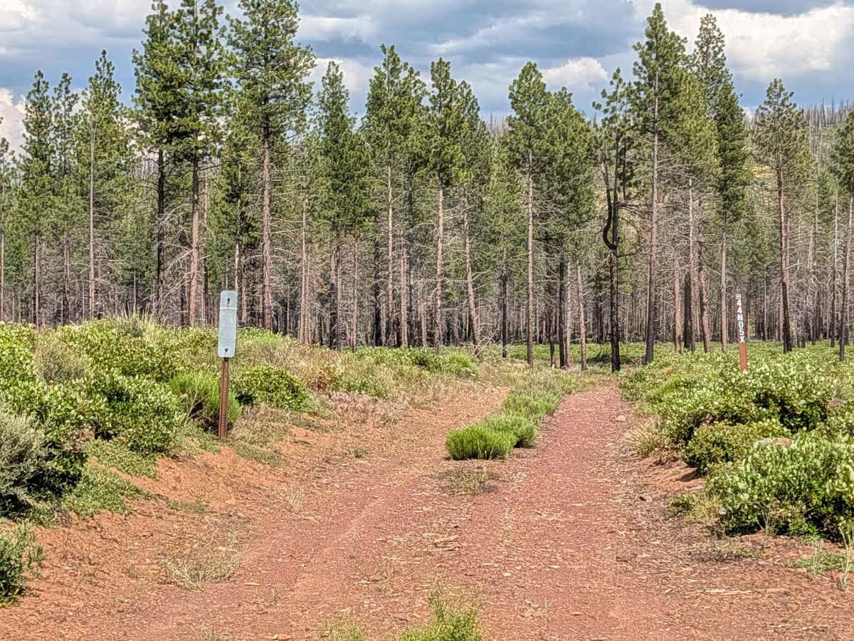
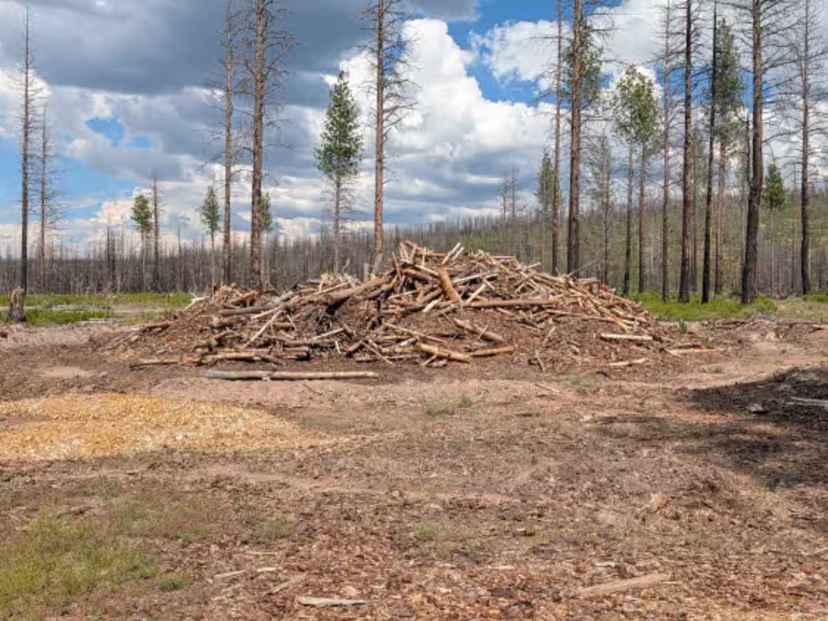
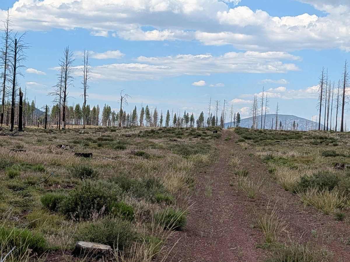
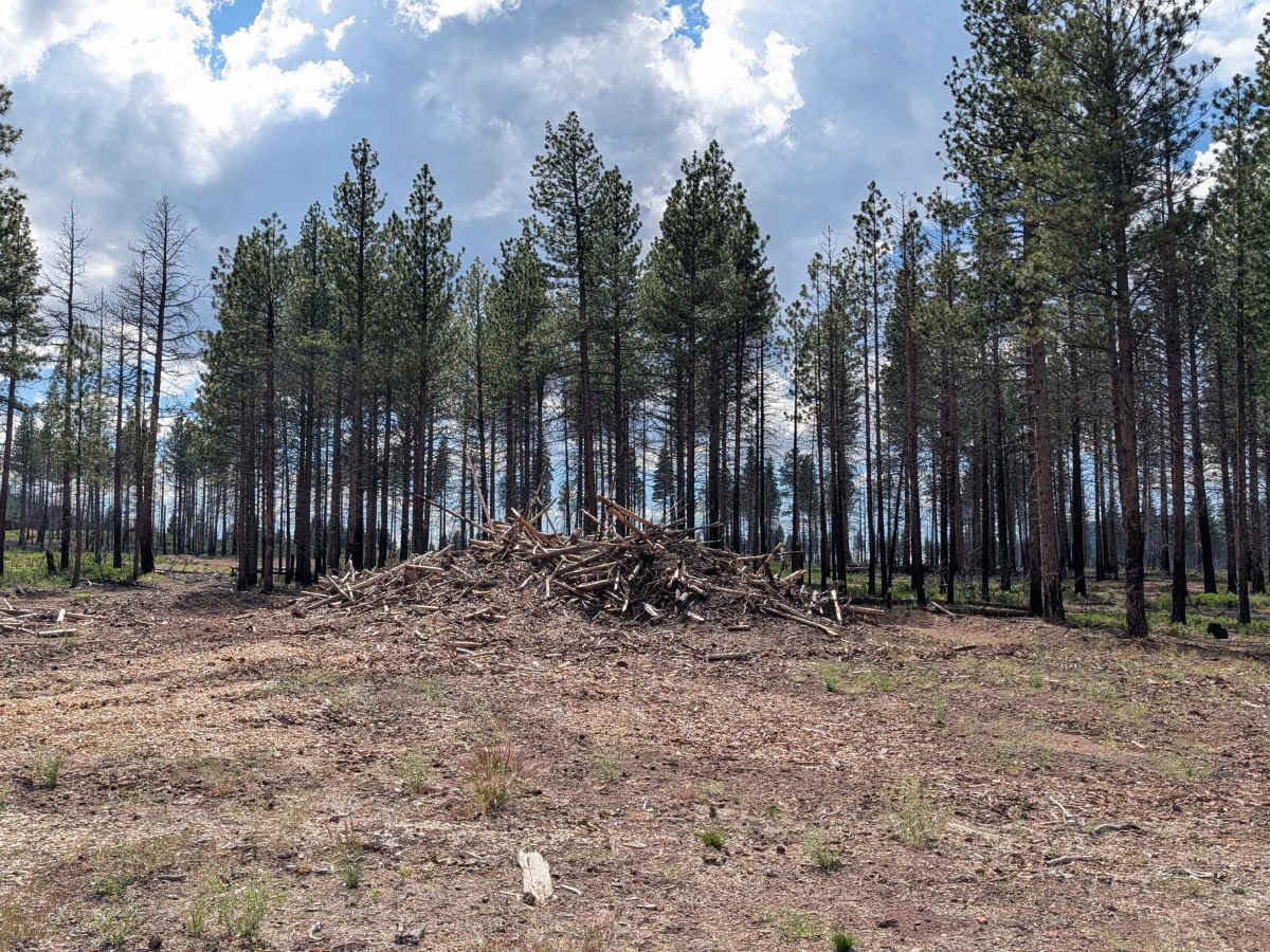
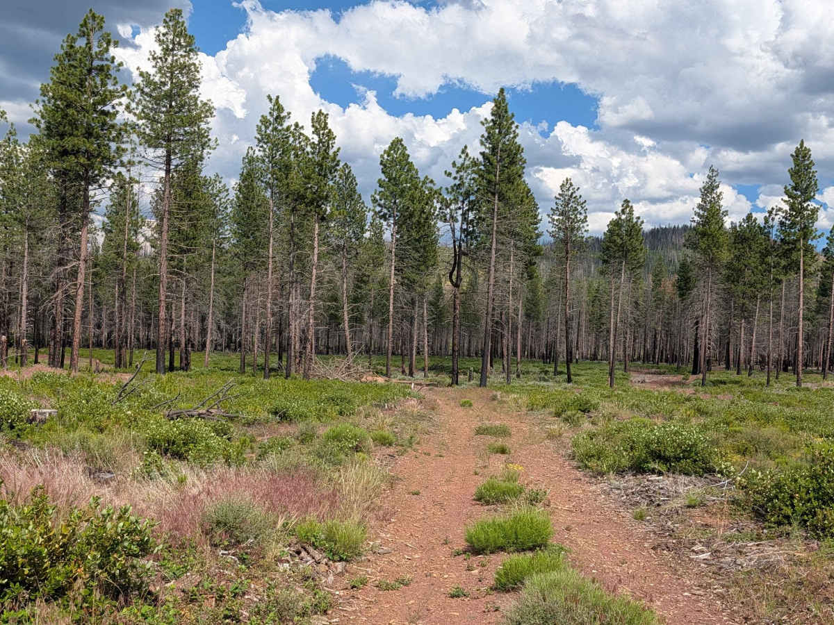
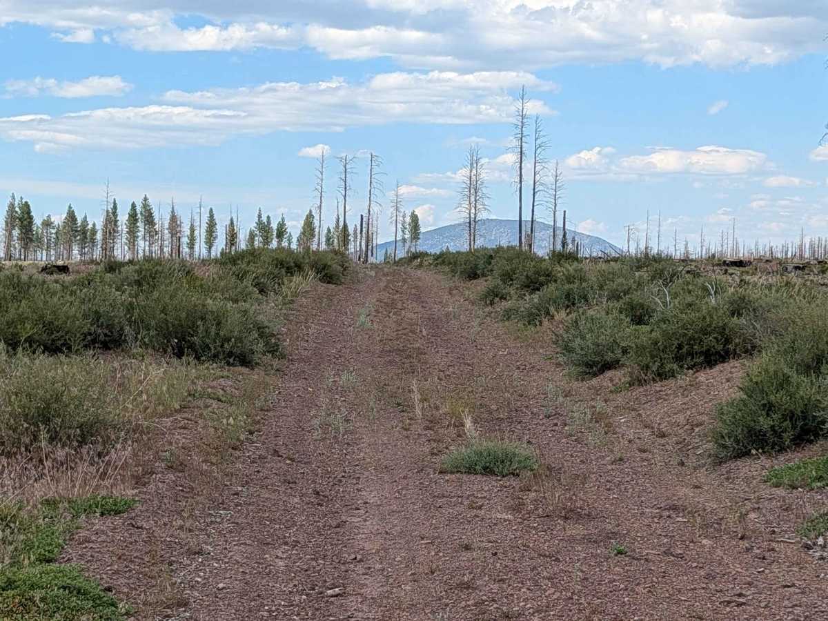
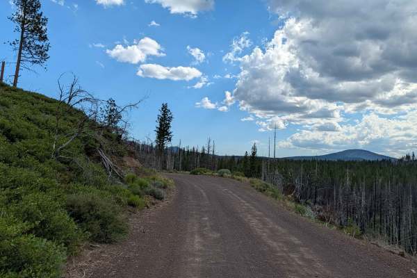
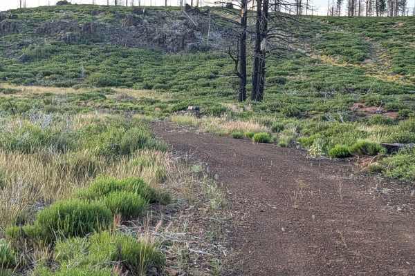
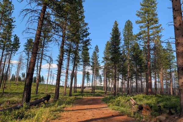
This connector route serves as a functional link between the Dock Wells (FS 44N05) and Bobcat (FS 44N08Y) trails, guiding travelers through a section of the Klamath National Forest significantly altered by the 2021 Antelope Forest Fire. The trail cuts through a landscape in transition, alternating between stands of young pine forest—where evidence of recent cleanup and logging is visible—and broad, open meadows created by clear-cutting. These open areas provide a unique vantage point, offering clear, expansive views of the distant volcanic domes that define the local skyline. It is a quiet, observant route that highlights the stark contrast between the recovering forest and the managed clearings.
Difficulty
This is a rating 2 trail. The surface is composed of loose, uncompacted dirt and is strictly one vehicle wide, which requires careful placement. While the trail has been cleaned up following the fire, you will encounter small ruts up to 12 inches deep along the path. Additionally, despite the recent clearing efforts, vegetation is already beginning to encroach on the center median, making a high-clearance vehicle highly recommended to protect your undercarriage. The combination of loose dirt and median brush makes for a slightly more attentive drive than the neighboring graded main arteries.

 Offroad