Cayuse C - FS 44N75C

Total Miles0.7
Technical Rating
1Easy
Best TimeFall, Spring
Trail TypeFull-Width Road
Accessible By
Open Trail Map

Trail Overview

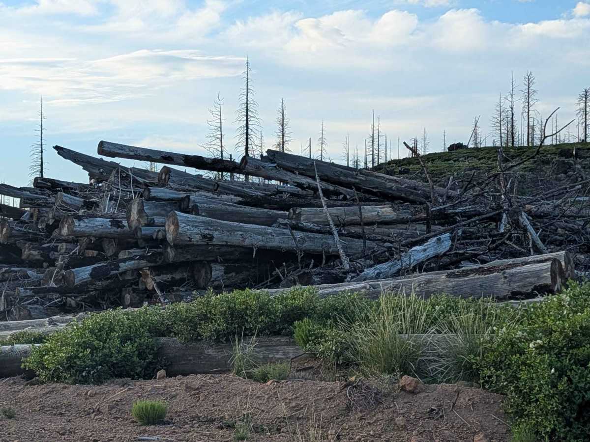
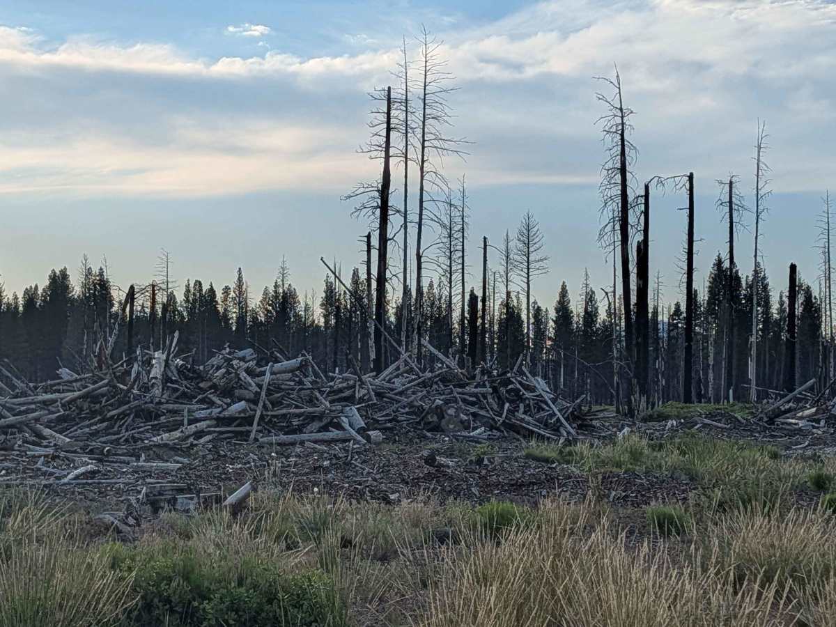
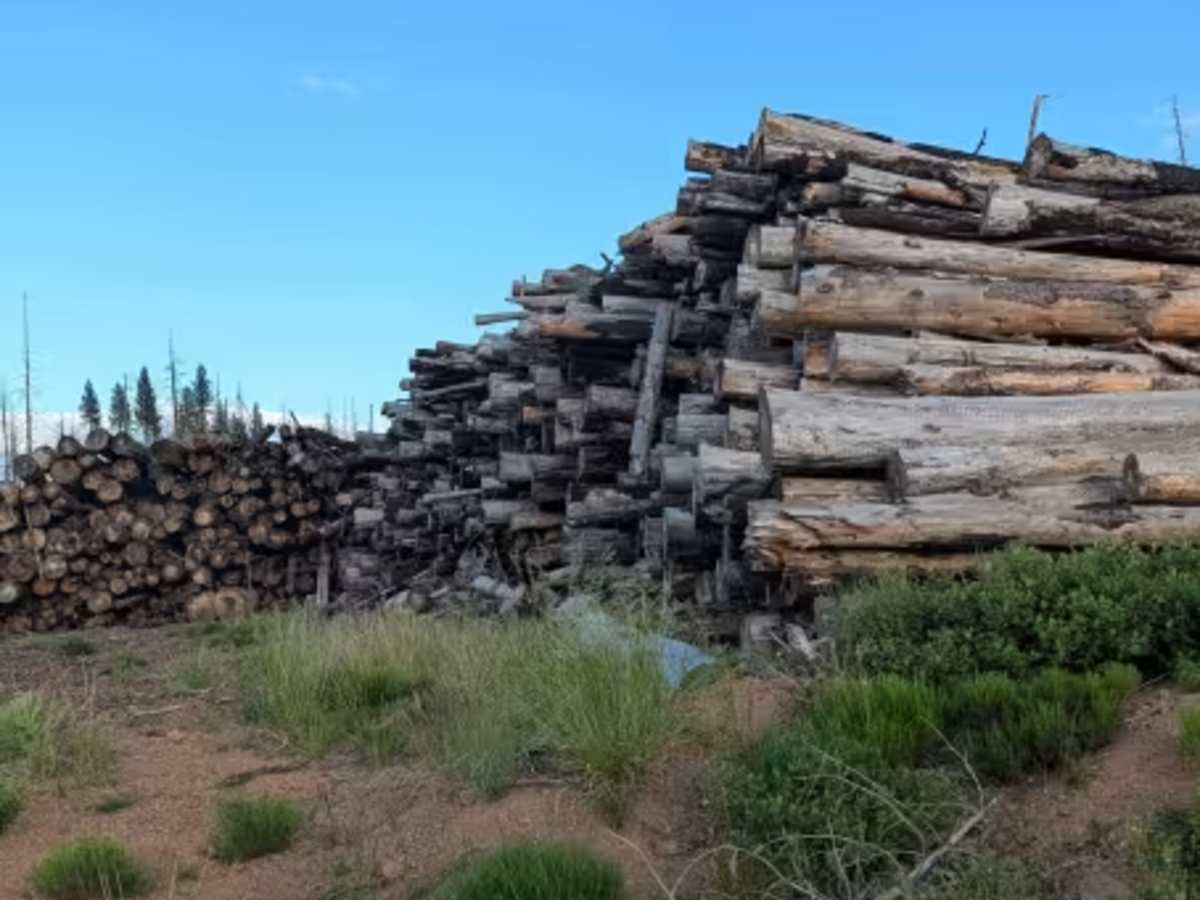
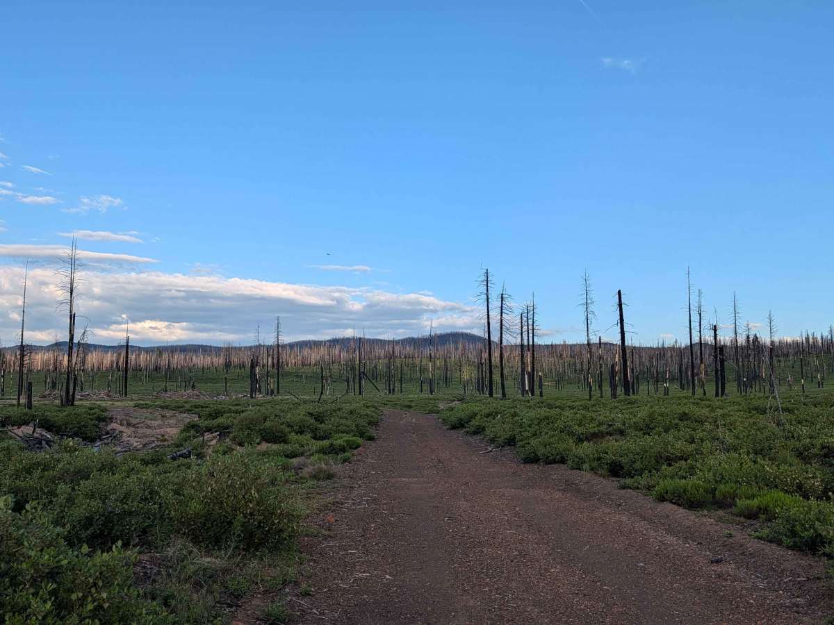
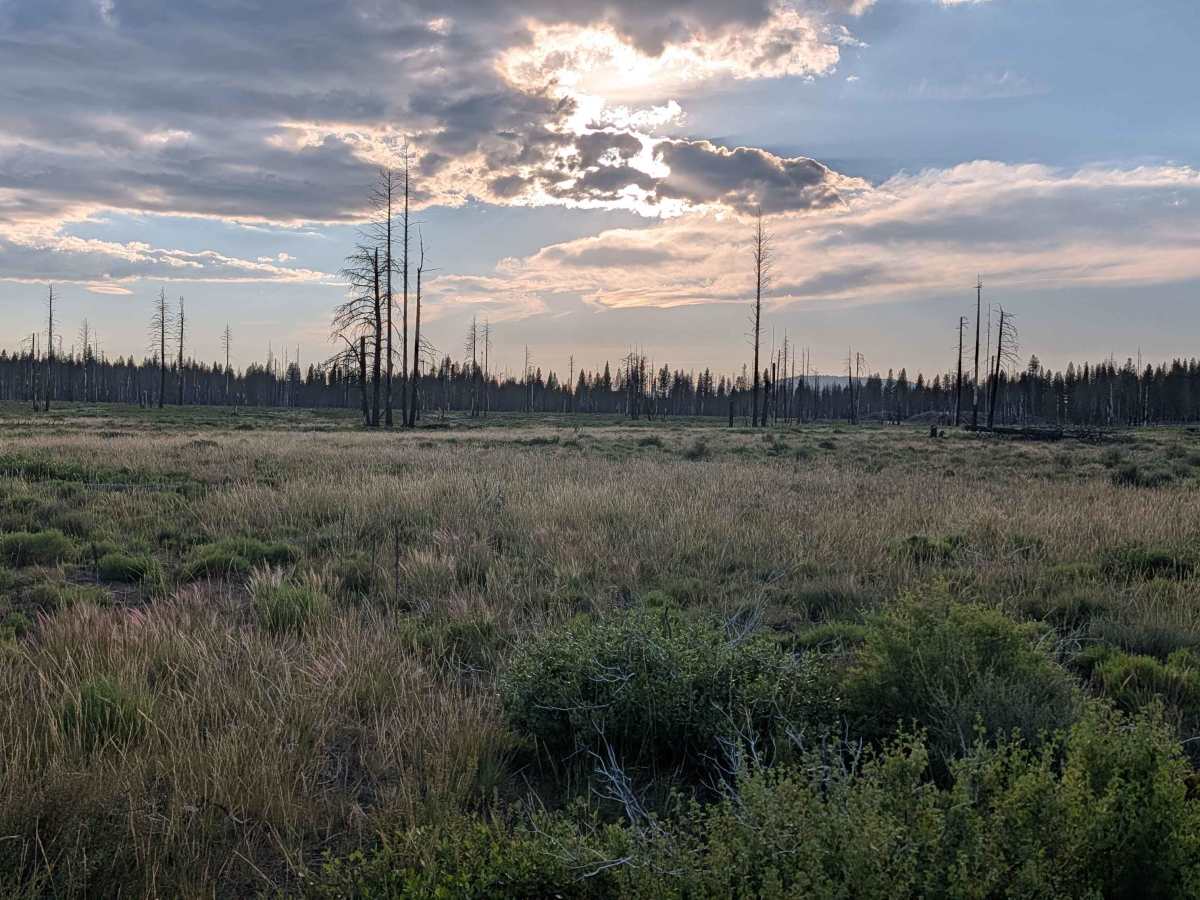
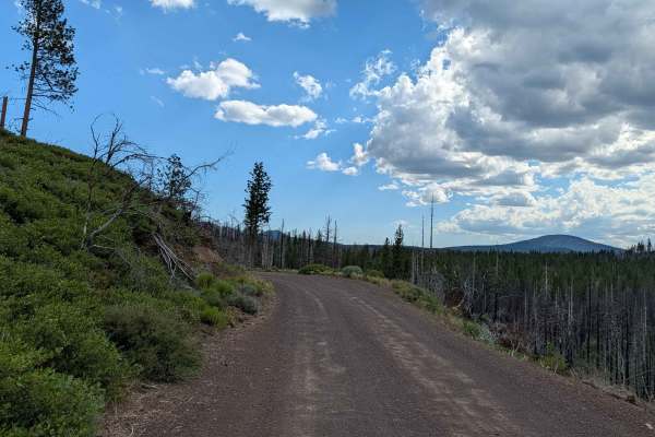
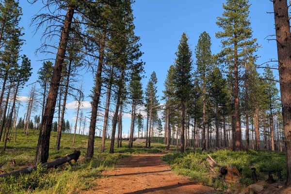
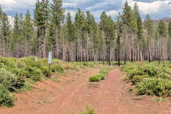
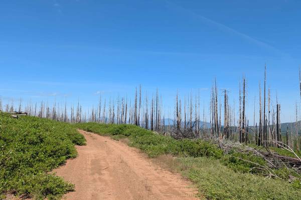
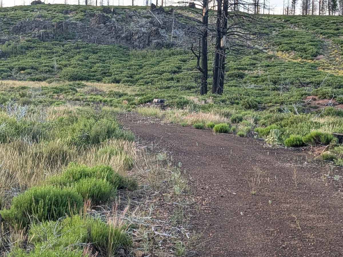
This 1.5-mile out-and-back trail serves as a localized route within the Klamath National Forest. Formerly a through-route that connected to the Lava West Trail, it has been truncated by a Forest Service closure near the terminus. The area is defined by the significant impact of the 2021 Antelope Forest Fire. The route offers a clear view of ongoing forest management; the path has been actively cleared, and there is extensive evidence of timber salvage operations, with numerous stacks of harvested logs lining the route. These efforts have transformed dense forest patches into large, expansive open meadows, providing a stark view of the landscape's ongoing transformation and recovery.

Photos of Cayuse C - FS 44N75C

Difficulty

This is an easy, rating 1 trail. Because it has been recently cleared as part of the regional cleanup efforts, the track is well-maintained and free of major obstacles or technical challenges. It is a straightforward drive suitable for virtually any vehicle. The primary challenge for the visitor is navigation—specifically, ensuring you respect the Forest Service closure near the end of the route and plan accordingly for a safe turnaround, as this is now exclusively an out-and-back experience.

Technical Rating

1

Cayuse C - FS 44N75C Trail can be accessed by the following ride types:

  • Single Track
  • 60 Inch
  • High Clearance
  • Full Width

Cayuse C - FS 44N75C Map

The onX Offroad Difference

onX Offroad combines trail photos, descriptions, difficulty ratings, width restrictions, seasonality, and more in a user-friendly interface. Available on all devices, with offline access and full compatibility with CarPlay and Android Auto. Discover what you're missing today!

Open Trail Map