Trail Overview
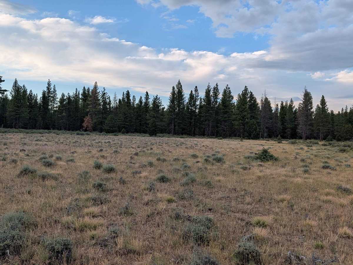
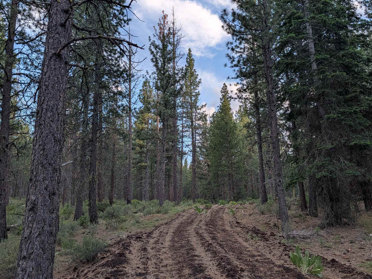
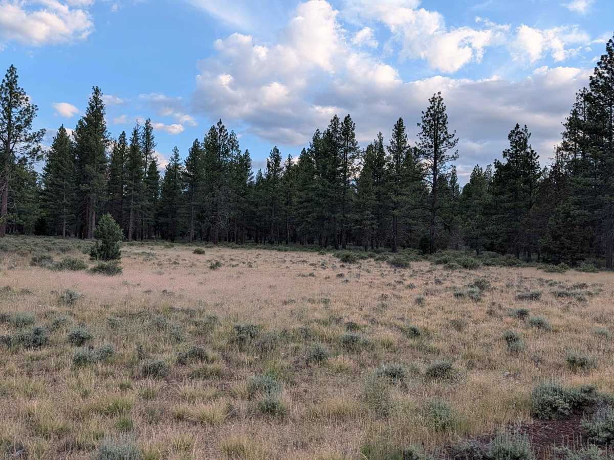
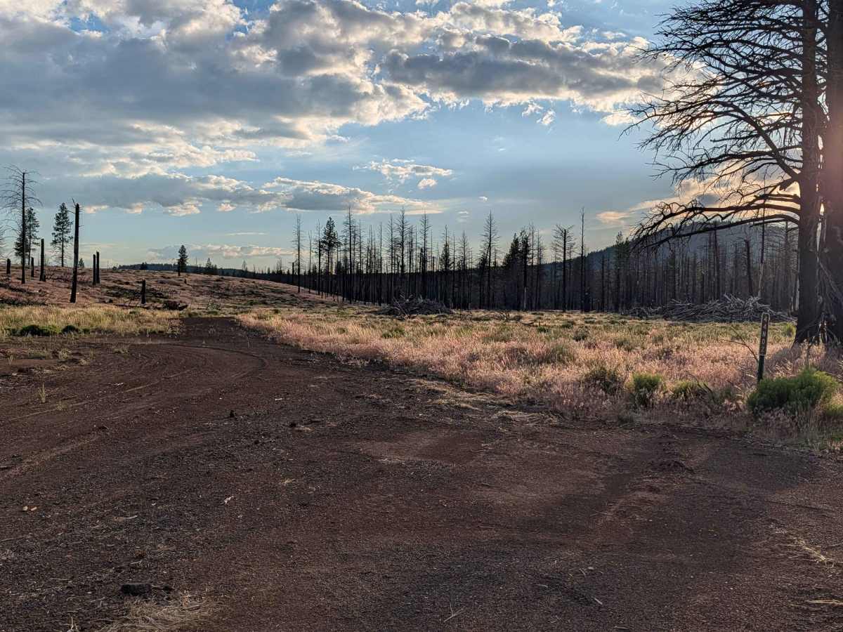
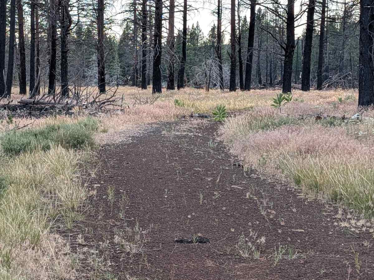
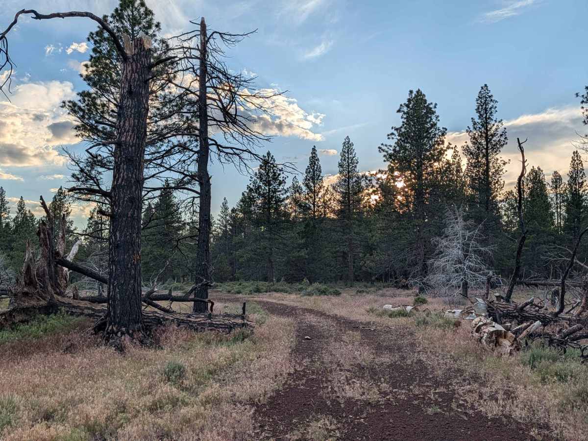
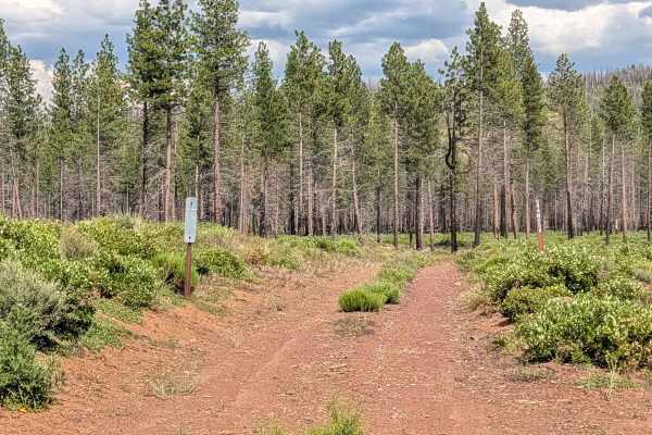
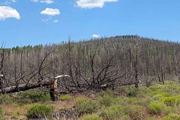
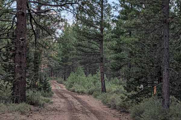
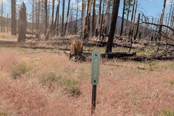
This 3-mile out-and-back route begins and ends on Highway 15, guiding travelers through a compelling transition of landscapes within the Klamath National Forest. The initial portion of the trail cuts through the footprint of the 2021 Antelope Forest Fire, where extensive cleanup of fire-damaged timber is evident. Beyond this, the trail reaches a healthy, unburned section characterized by a robust pine forest and an understory of sagebrush. The Forest Service has recently reconfigured the local network, closing half of the original main Davis Antelope route and combining the main and "B" spur trails into a single, cohesive path that now extends toward the Rainbow Well - FS 44N06 area.
Difficulty
Rated as a 2, the trail surface consists of loose pumice and dirt, typically measuring about 1.5 vehicles in width. While the path is generally manageable, travelers should exercise heightened situational awareness in the fire-affected sections; despite the cleanup of downed timber, the fire-loosened soil can make standing, fire-killed trees unstable, posing a risk of falling debris. The trail is straightforward, but the combination of loose pumice and potential overhead hazards requires a cautious, observant pace throughout the fire-impacted zone.

 Offroad