Kopi South - FS 45N14Y

Total Miles1.3
Technical Rating
1Easy
Best TimeFall, Spring
Trail TypeFull-Width Road
Accessible By
Open Trail Map

Trail Overview

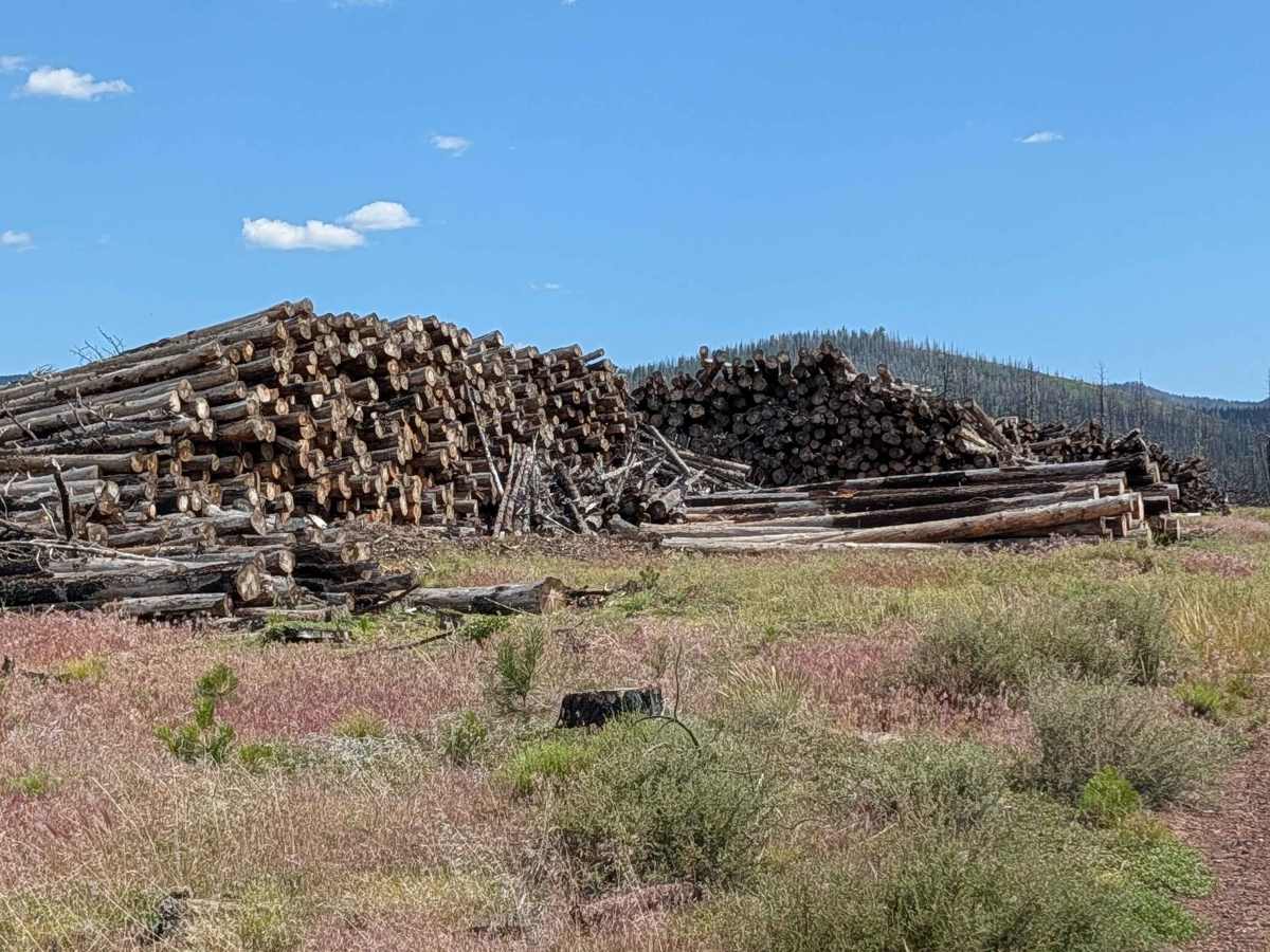
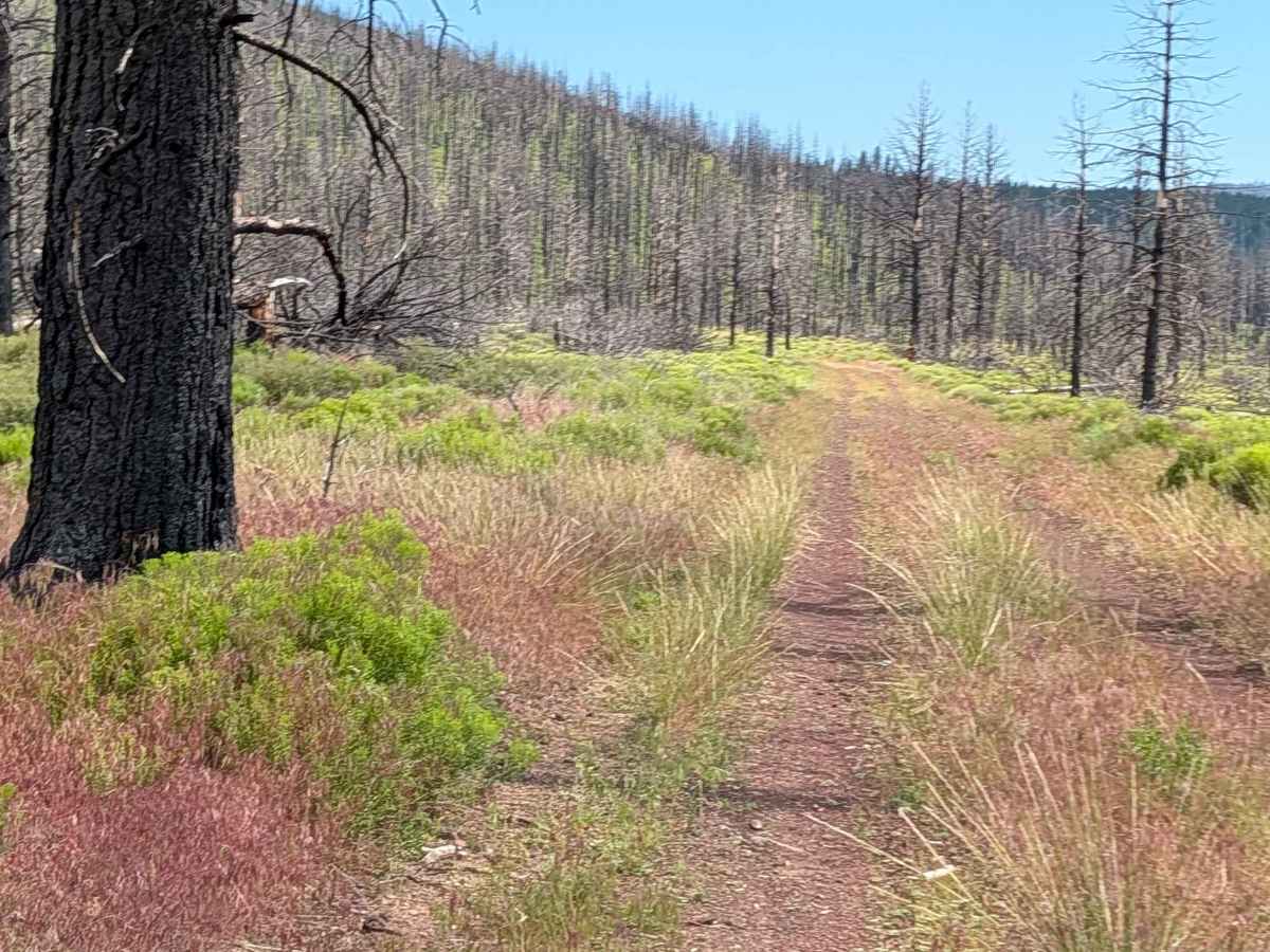
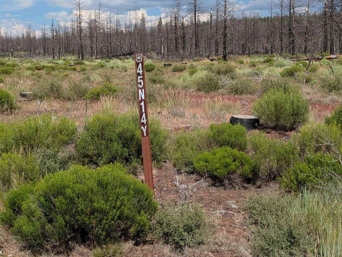
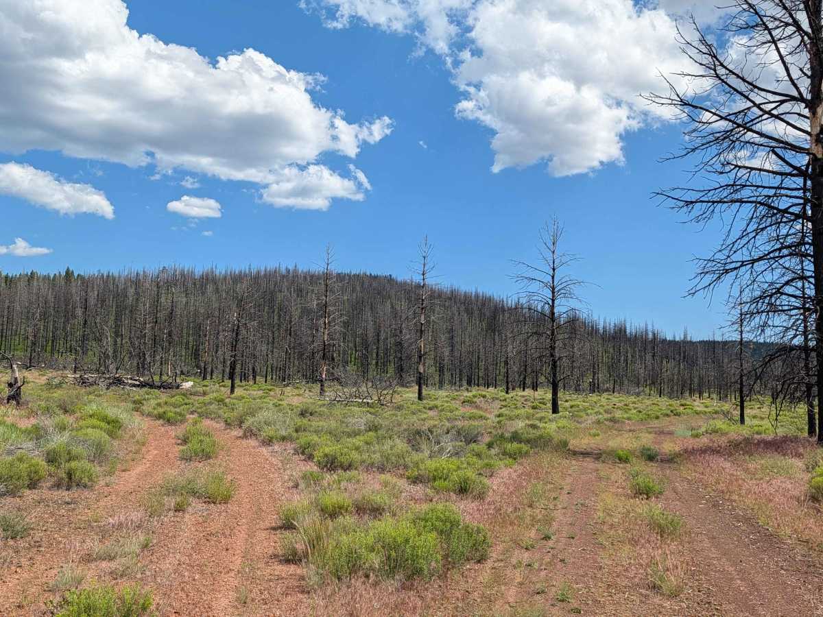
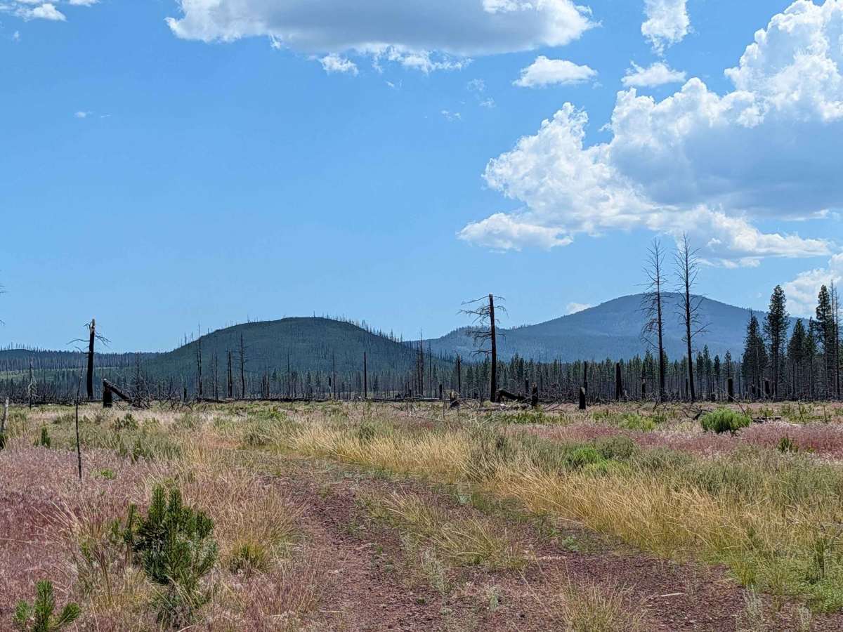
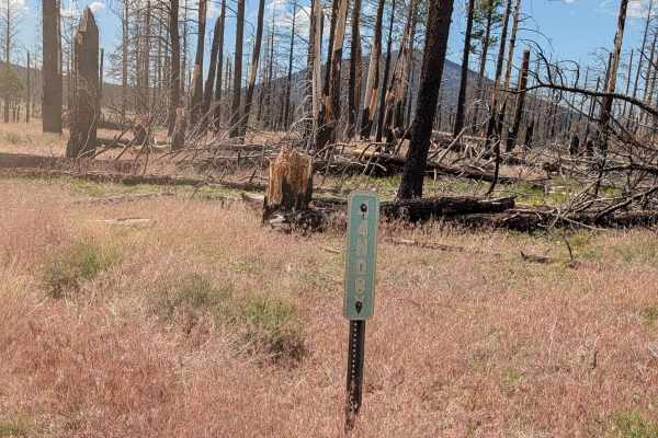
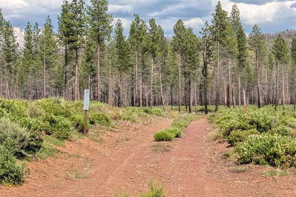
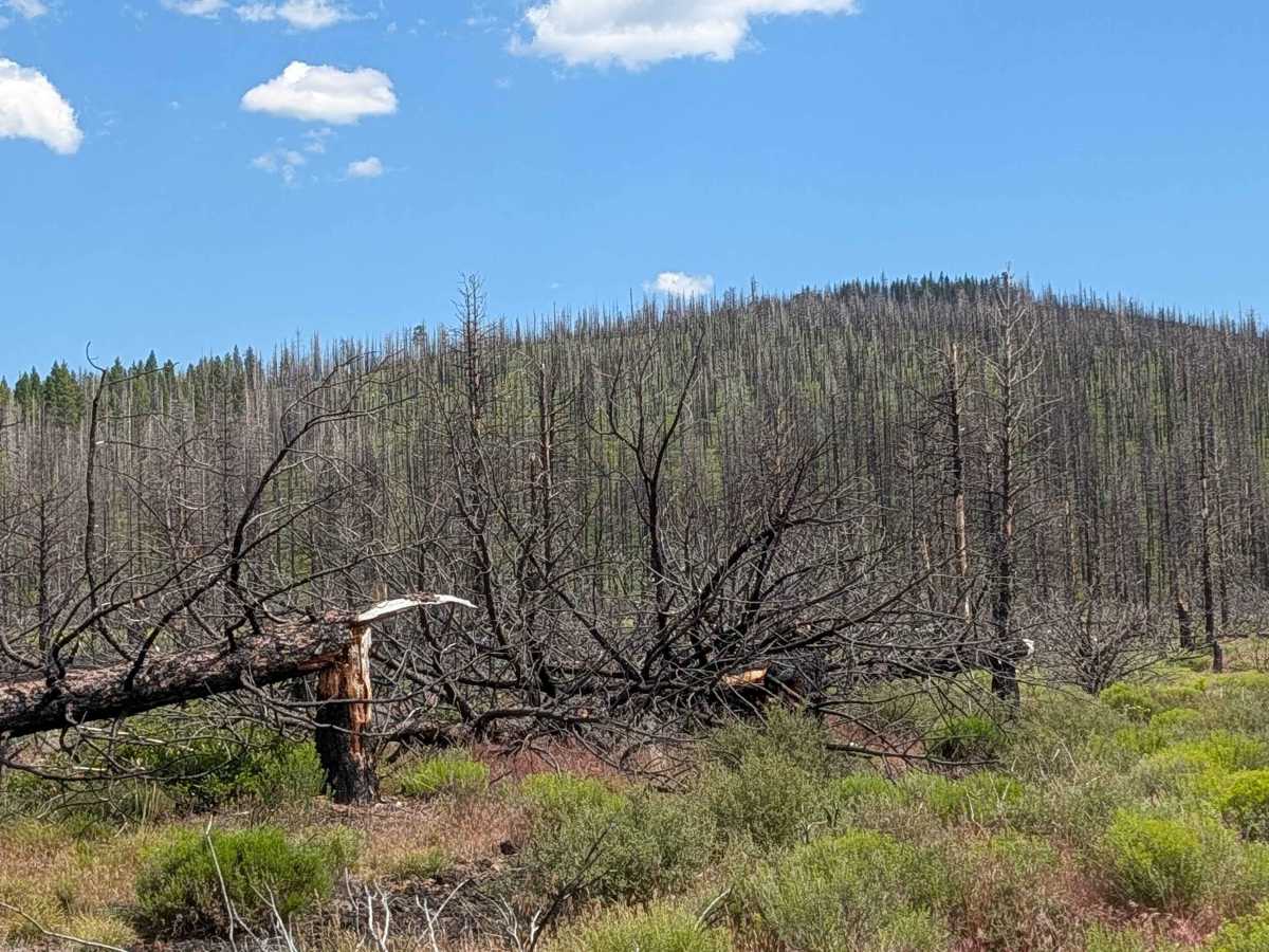
This route provides a clear, accessible path through a landscape heavily altered by the 2021 Antelope Forest Fire. The area has undergone significant remediation, with the trail recently cleared and adjacent timber logged, creating a series of open meadows that contrast with the remaining burnt forest stands. Despite the fire damage, the route offers a striking reward: clear, expansive views of Mount Shasta rising above the horizon. It is a testament to the ongoing forest recovery and management efforts in the region, providing an easy way to observe the changing terrain of the Klamath National Forest.

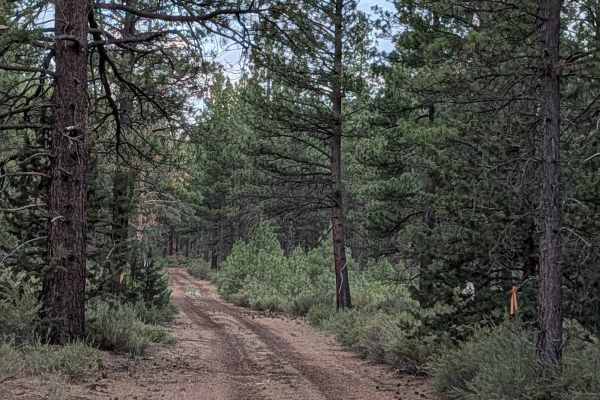
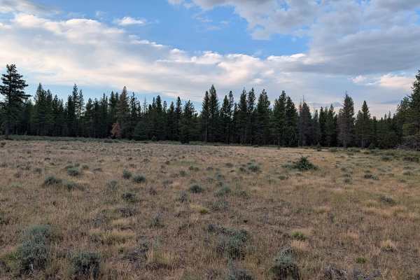
Photos of Kopi South - FS 45N14Y

Difficulty

This is a rating 1 trail, offering an exceptionally smooth and straightforward drive. The dirt surface has been recently graded, ensuring a level and predictable ride free of major ruts, rocks, or technical obstacles. It is suitable for any vehicle. While the route was once a through-path, please note that it no longer connects to Kopi North due to a significant accumulation of downed trees that have rendered the northern section impassable. You should treat this as a linear, dead-end route and be prepared to turn around at the point where the clearing ends.

Technical Rating

1

Kopi South - FS 45N14Y Trail can be accessed by the following ride types:

  • Single Track
  • 50 Inch
  • 60 Inch
  • High Clearance
  • Full Width

Kopi South - FS 45N14Y Map

The onX Offroad Difference

onX Offroad combines trail photos, descriptions, difficulty ratings, width restrictions, seasonality, and more in a user-friendly interface. Available on all devices, with offline access and full compatibility with CarPlay and Android Auto. Discover what you're missing today!

Open Trail Map