Trail Overview
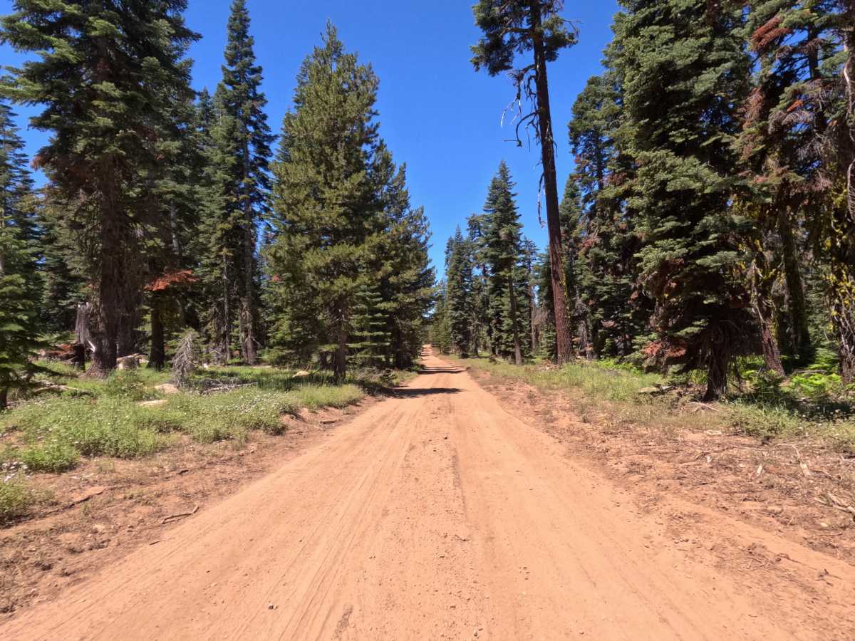
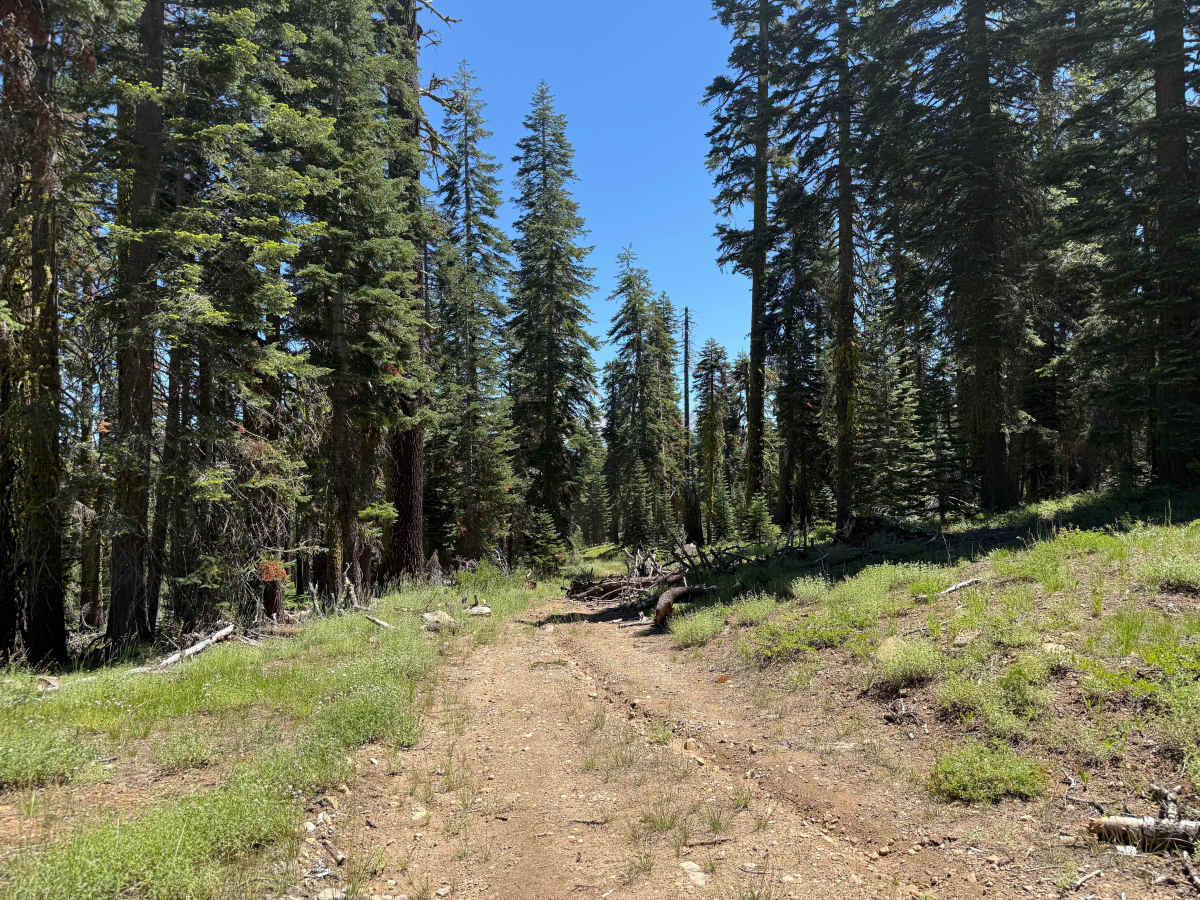
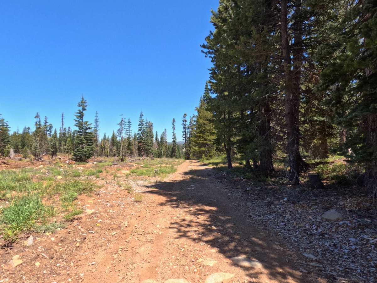
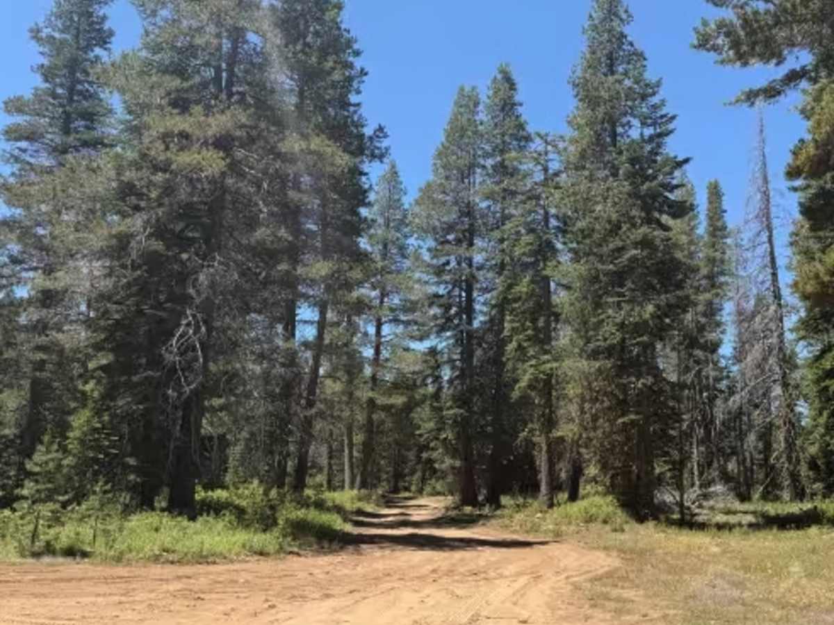
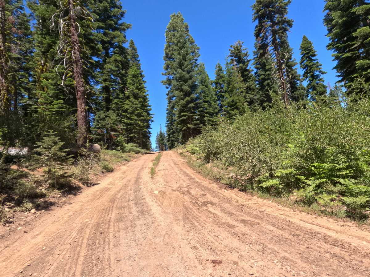
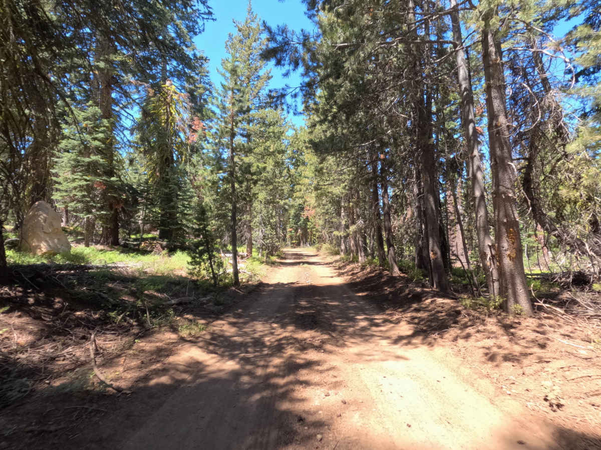
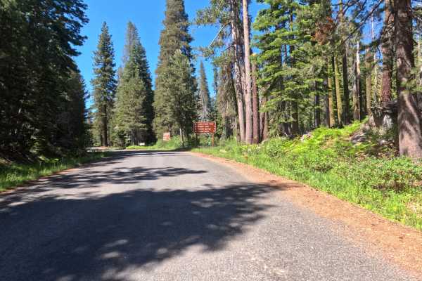
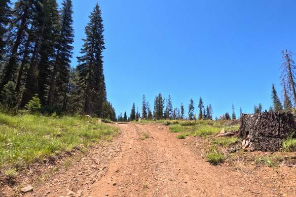
Start at the Granite Springs intersection on hard-packed red dirt, climbing uphill before the grade levels out. Along this stretch, you'll ride right along the boundary between Forest Service land and Sierra Pacific Industries property, and you'll likely pass parked logging trucks and equipment staged in the area. At the turn toward Flat Hook Road, the route descends downhill, crossing back onto Sierra Pacific land with only minor rutting to watch for. Continuing beyond this point, where the road should turn back onto Forest Service land, conditions become noticeably rougher and the road narrows, as the corridor grows more overgrown. A downed tree blocks the final, rough, unmaintained stretch.
Difficulty
For most of its length, this corridor is rated as easy, with a hard-packed dirt surface. There are no gravel or rock obstacles, and no clearance concerns through the main stretch. The rating is a 2 until the first turn back toward Forest Service land. Past that turn, the road narrows, overgrows, and becomes noticeably rougher and less maintained, pushing the difficulty to a 3 for anyone continuing on to the very end. A downed tree currently blocks the final section entirely, and the road may be approaching a closed, no-motorized-traffic boundary, so riders should be prepared to turn back before reaching it.