Trail Overview
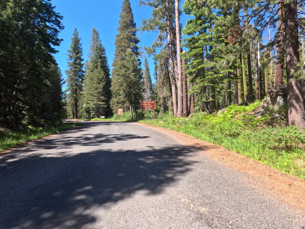
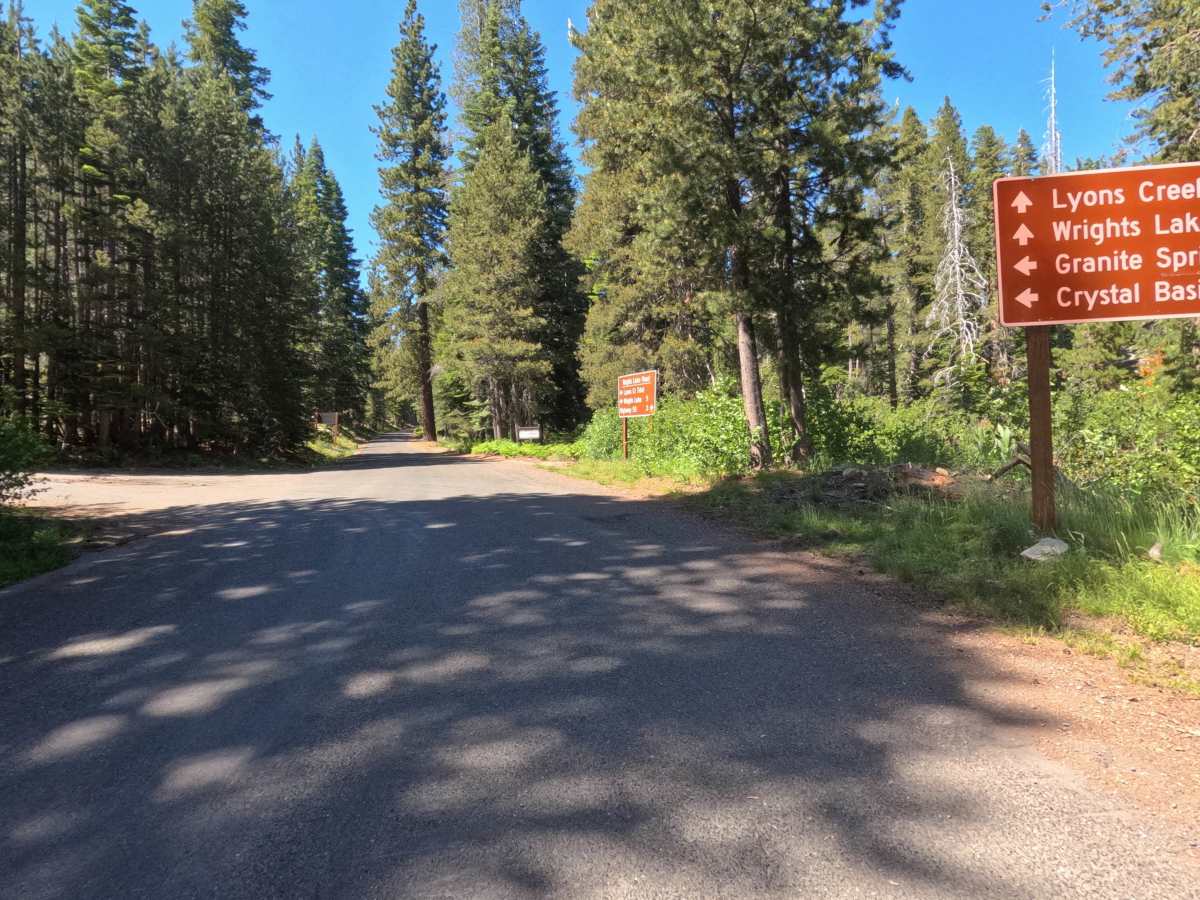
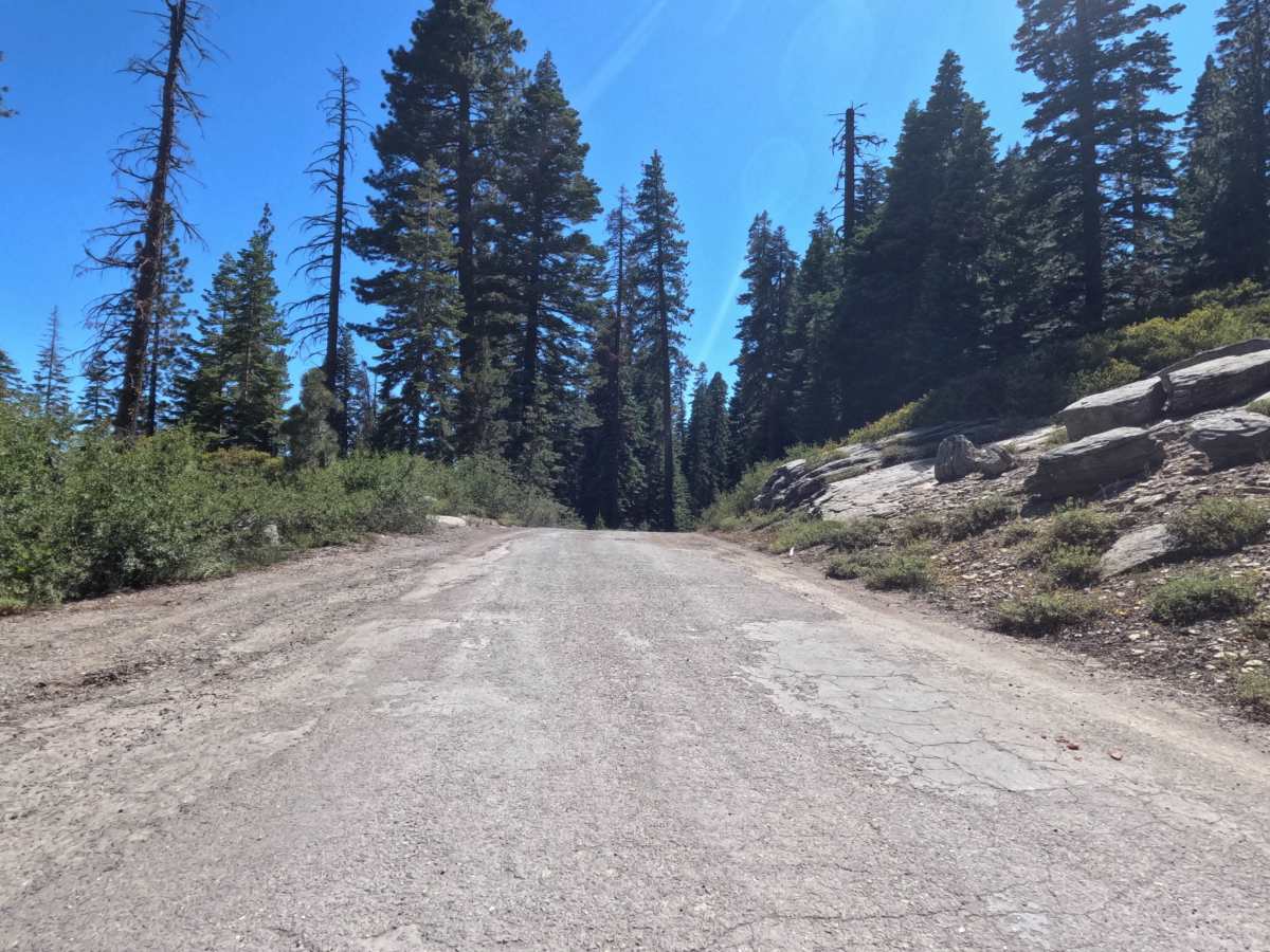
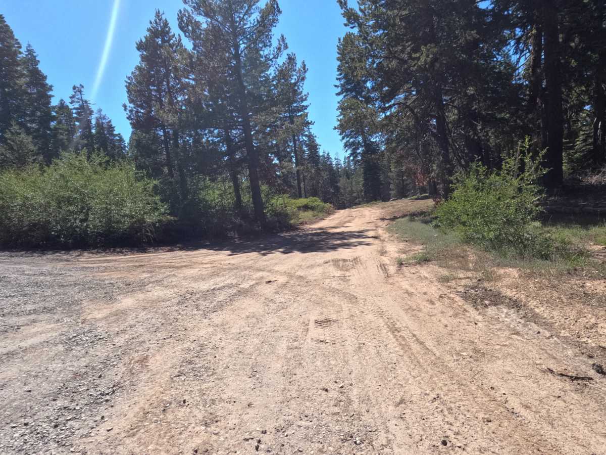
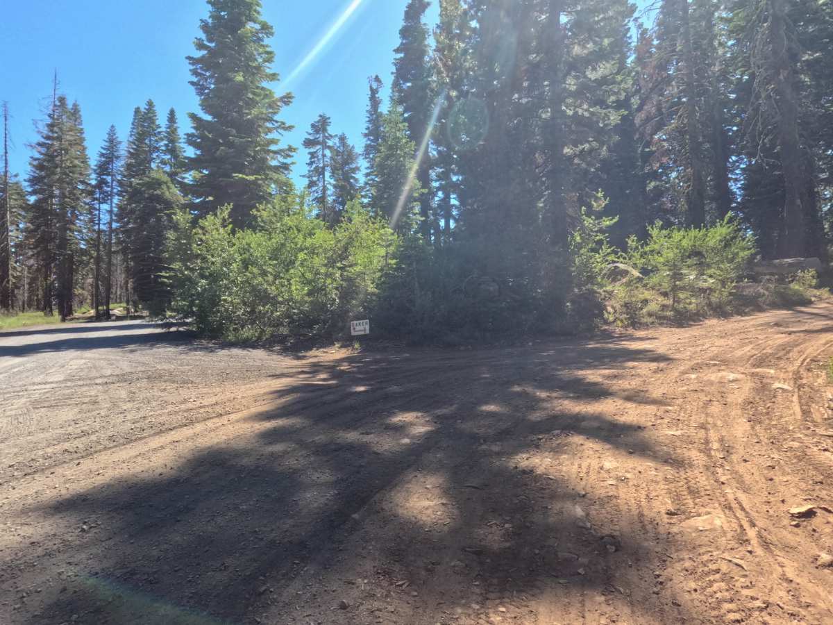
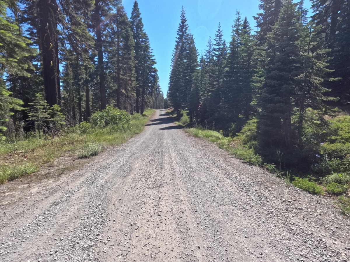
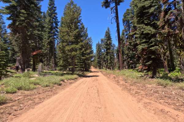
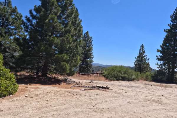
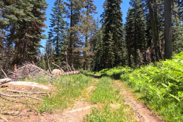
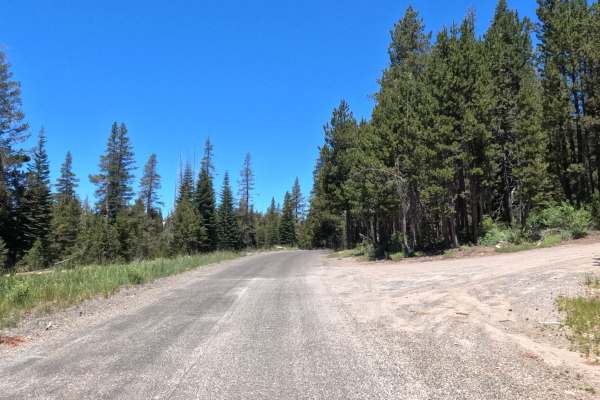
Granite Springs Road - FS 11N99 is a heavily trafficked, 11.4-mile scenic road that straddles El Dorado National Forest and Sierra Pacific land. The initial turnoff from Wrights Lake Road is well-marked; be alert for large potholes and broken asphalt for the first 30 feet. The route quickly opens into a well-graded, hard-packed gravel road wide enough for two vehicles, which allows for slow, comfortable passing. The well-maintained, brush-free trail continues through shaded pine forests, occasionally revealing expansive canyon views and residual fire scars. Active logging operations and numerous unmarked offshoot roads are present throughout the area. The gentle inclines are easily managed by most vehicle types, with only one challenging road repair near the midway point. The final stretch from Sugarloaf out to Ice House Road transitions back to smooth asphalt. While there are a few basic pullouts directly on the route suitable for dispersed camping, more private spots can be found along the various spur roads.
Difficulty
The vast majority of this trail is an easy Level 1 gravel cruise featuring brief sections of minor washboarding. However, it earns a Level 2 rating strictly due to a single, specific hazard near the midway point. Forest service crews repaired a water erosion/culvert washout using larger rocks; subsequent rutting has created a substantial buildup along the road's midline. Because this narrow obstacle sits at the immediate base of a steep uphill ascent, finding a clean driving angle is difficult, making a high-clearance vehicle strongly preferred to avoid scraping your undercarriage.

 Offroad