Trail Overview
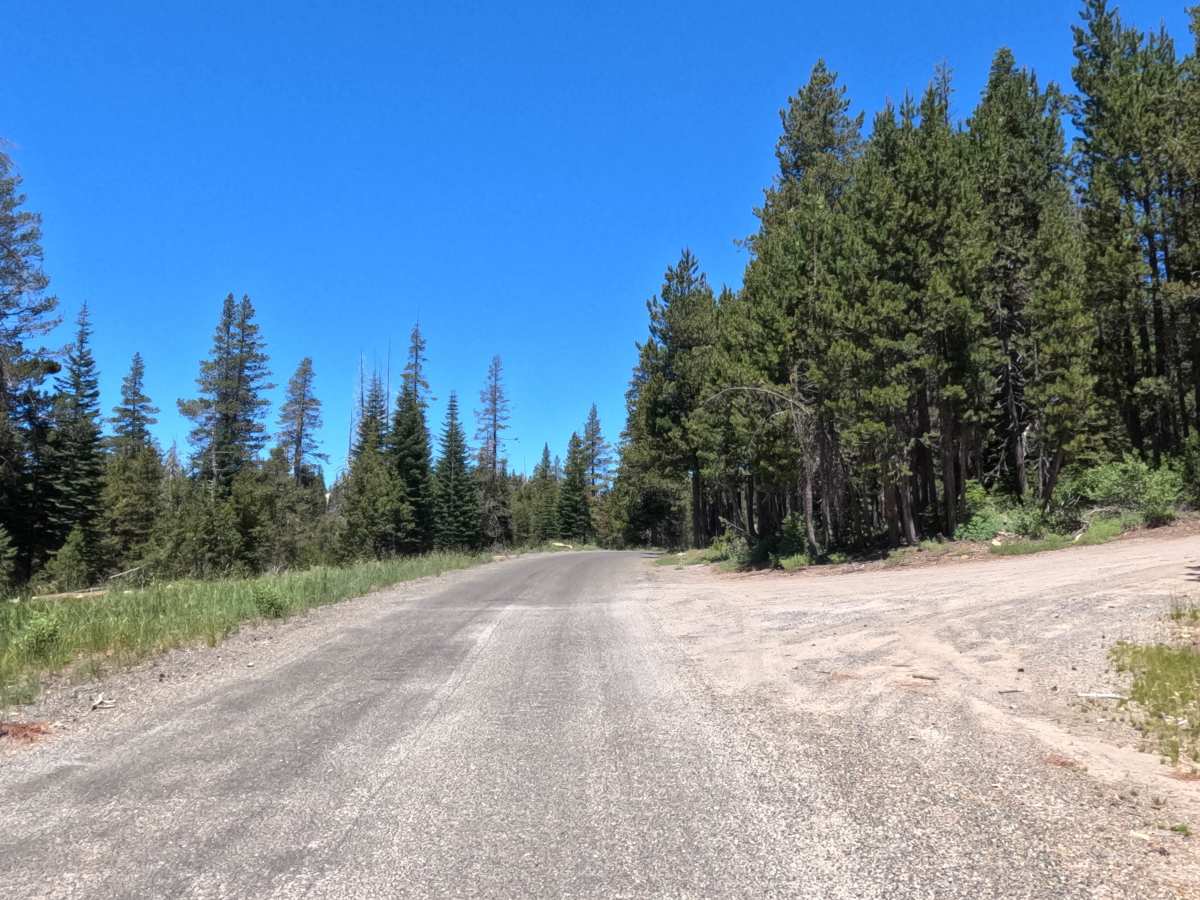
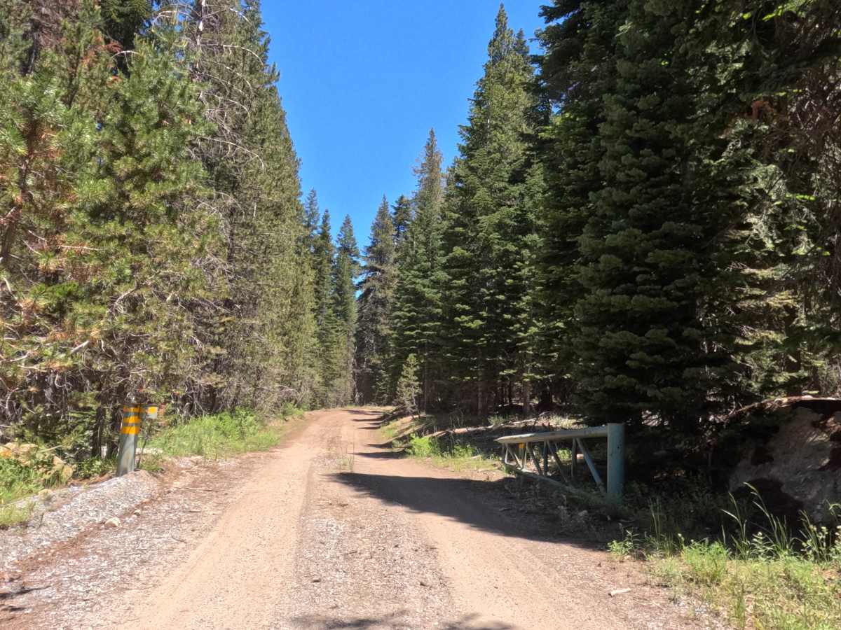
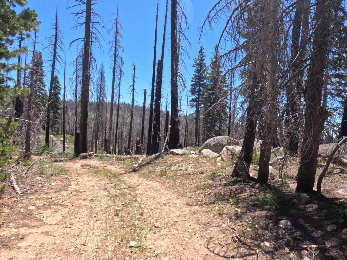
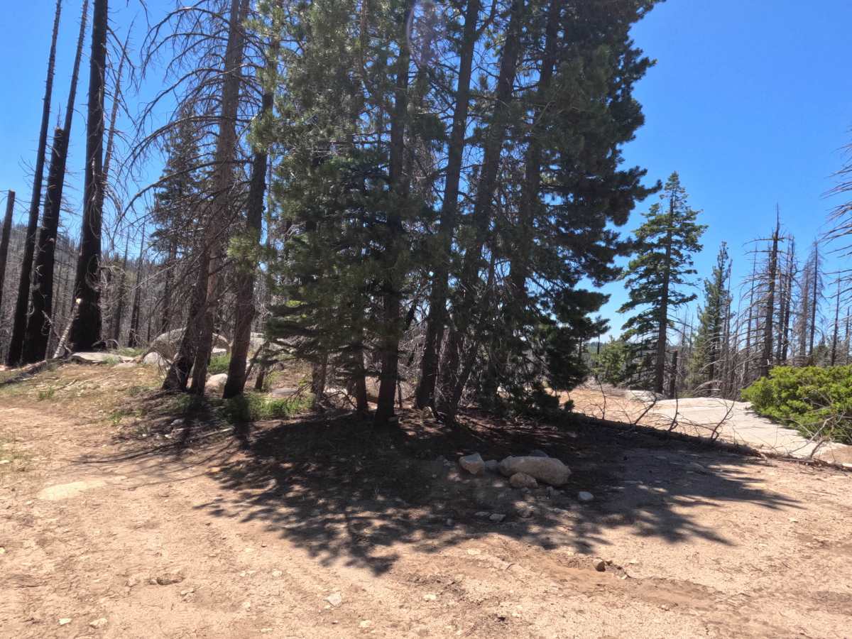
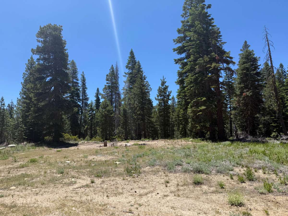
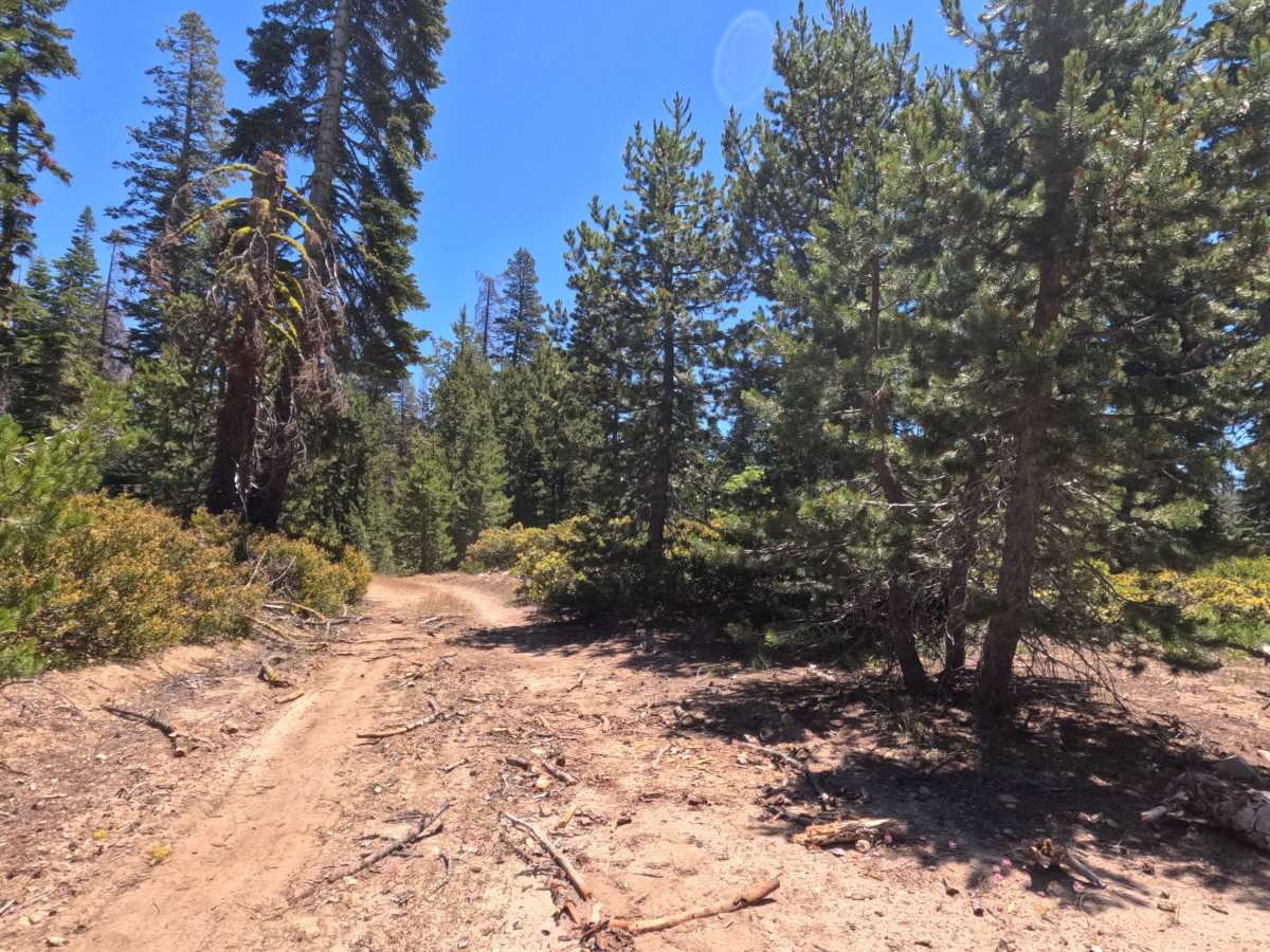
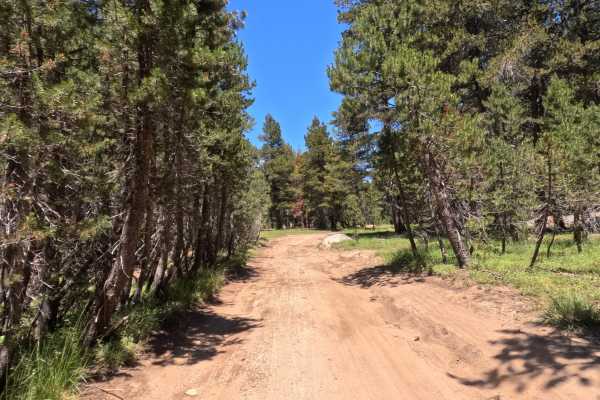
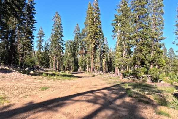
The Lyons Creek - FS 11N28 trail begins as gravel as you leave the asphalt of Wrights Lake Road, quickly transitioning into hard-packed dirt and decomposing granite. Initially, the trail is a one-lane road wide enough for an average rig, with adequate spots to carefully pass or manuever, and no significant overgrowth. You will pass an obvious intersection with FS 11N28E, followed by a less obvious turn to FS 11N28D. At the 0.8-mile mark, there is a dispersed campsite situated in a meadow to the right. Past the FS 11N28D turnoff, the road narrows and becomes bumpier, featuring more ruts, water erosion, and larger embedded rocks. At 1.6 miles, you will pass a closed gate to a spur road; beyond this point, the trail becomes noticeably more rugged and overgrown, with foliage that will likely scratch wider rigs. Another dispersed campsite sits at roughly 1.9 miles, just before the landscape shifts into the Caldor (2021) fire scar. From this campsite, the road begins a steep, narrow climb characterized by loose rock, mud, deep ruts, and large embedded rocks. Access ultimately ends at a downed tree within the fire-damaged area, which lacks visual appeal but still sees occasional camper use. Follow the Lyons Creek FS back to Wrights Lake Road.
Difficulty
While the first half of the trail is relatively easy, the rating elevates to a 3 due to the final climb past the 1.9-mile campsite into the burn scar. This specific section requires higher clearance to safely navigate a narrow, steep track filled with loose rock, mud, ruts, and larger embedded rocks. Additionally, the latter half of the trail features overgrown foliage that poses a high risk of pinstriping for larger vehicles.