Trail Overview
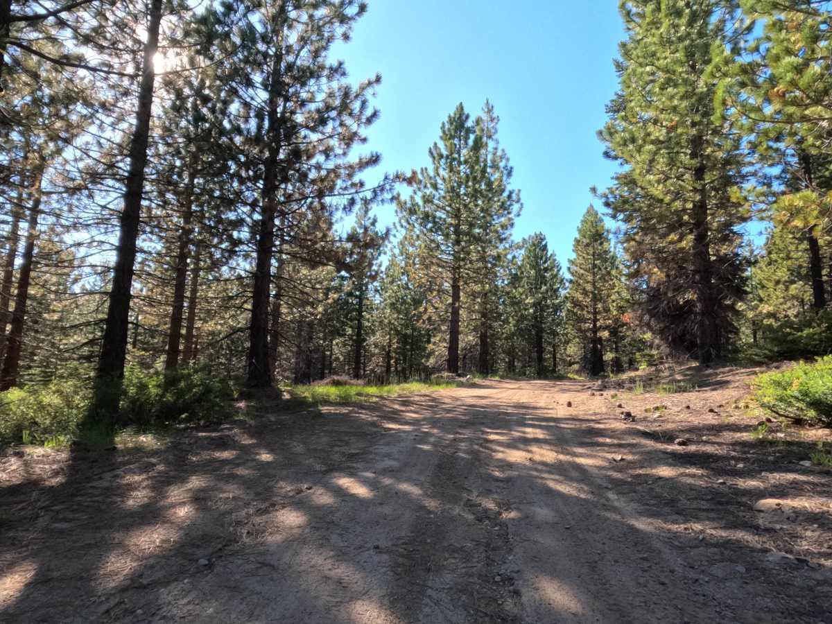
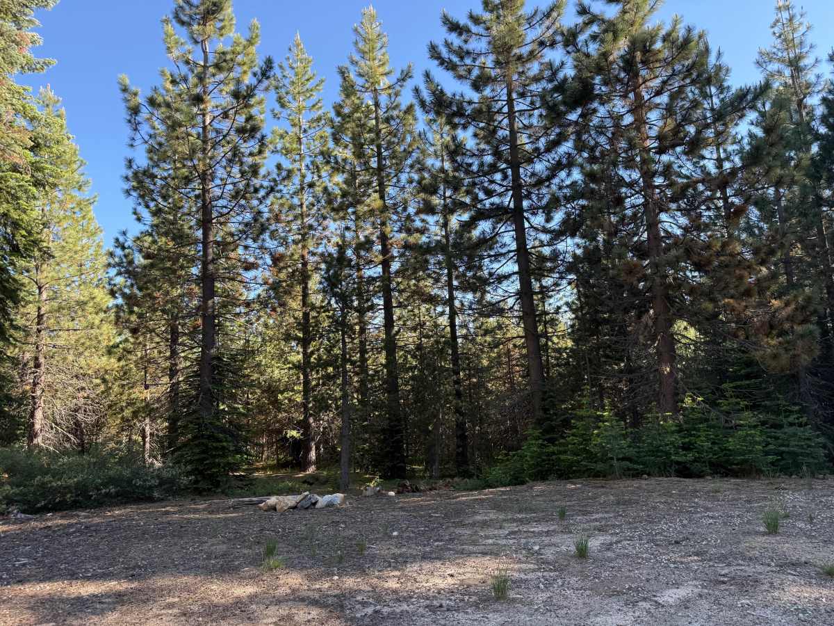
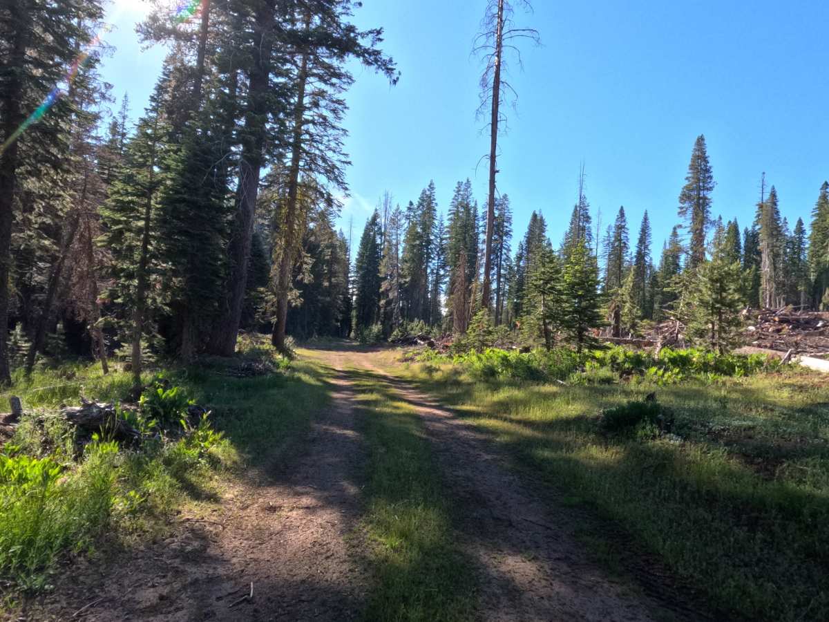
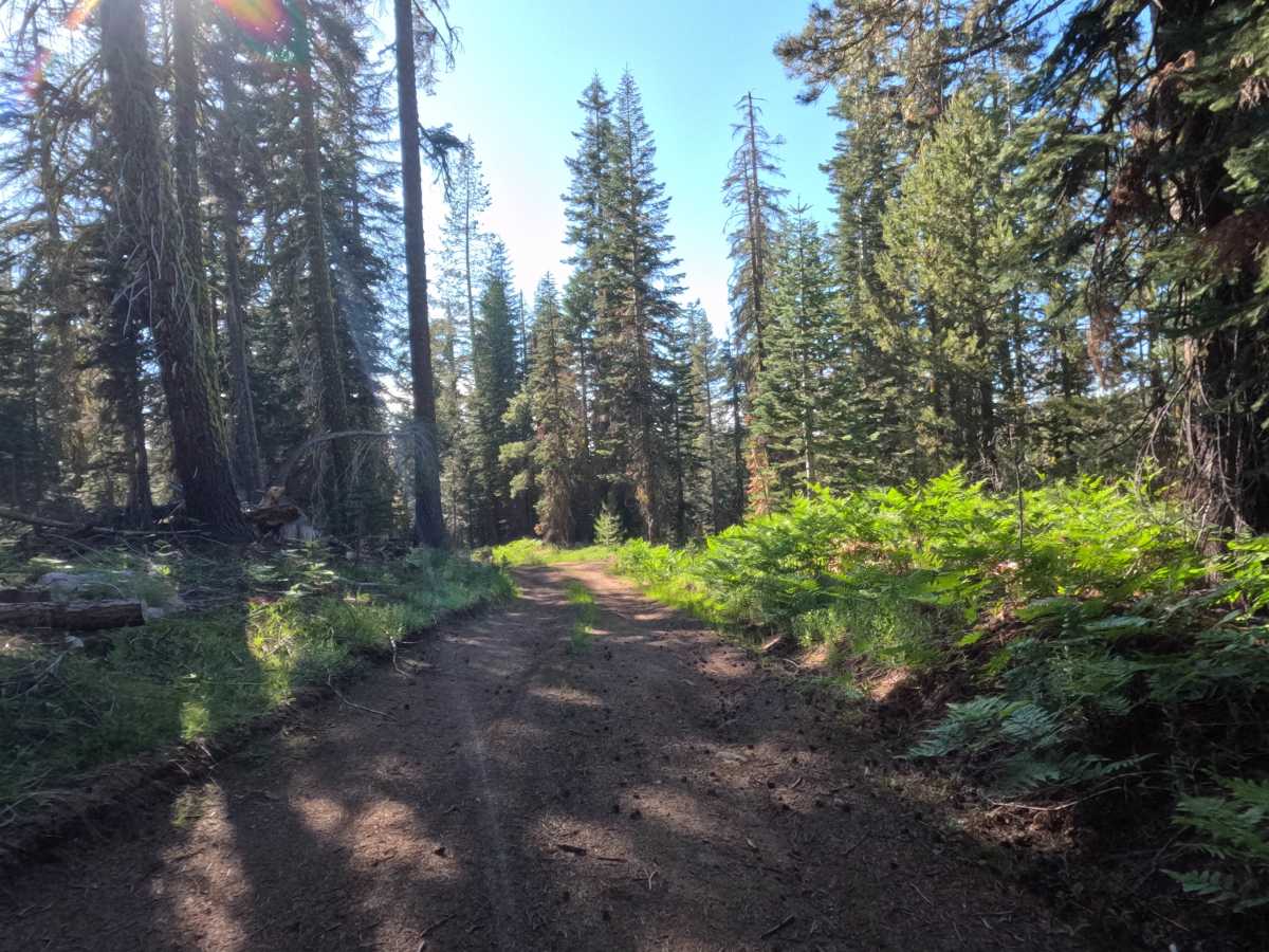
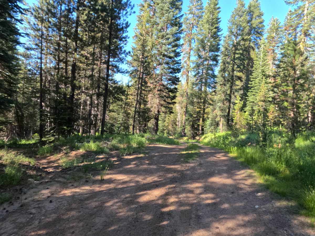
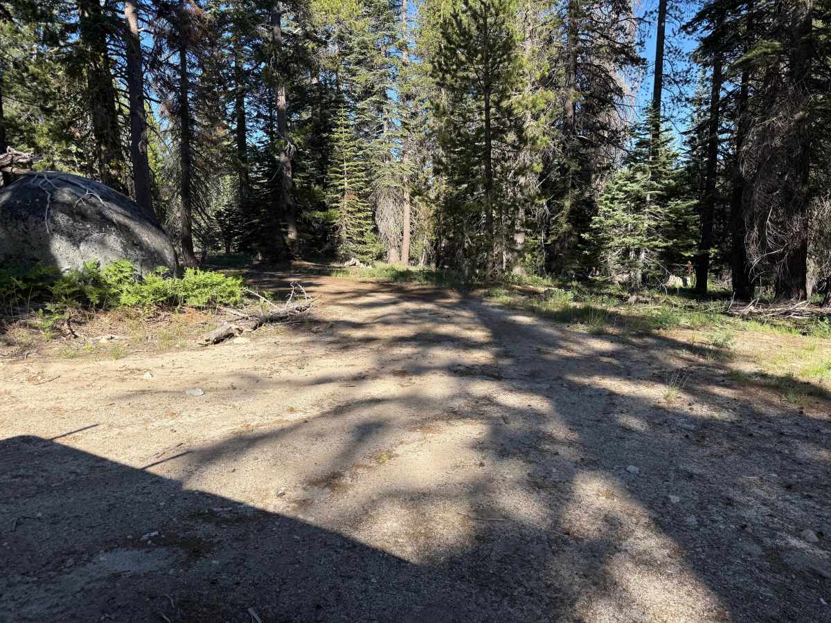
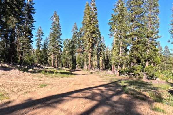
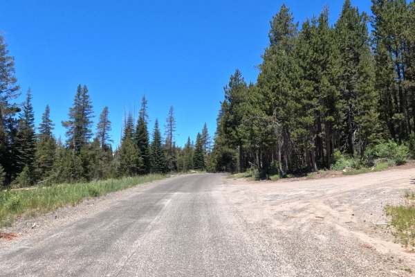
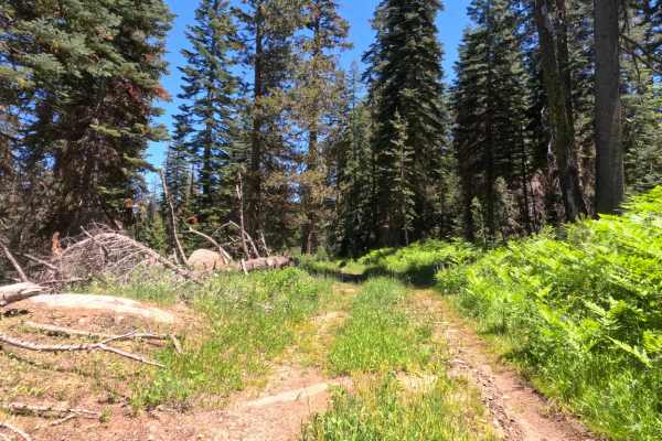
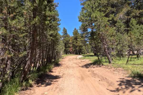
Windmiller East - FS 12N25B is a 2.5-mile single-lane dirt road that eventually transitions into gravel as it nears Windmiller Tie. The trail consists of hard-packed dirt with no major ruts and no significant overgrowth along the midline or edges, offering stretches with plenty of width to pass and others with very few pullout opportunities. While generally just a little bumpy, the route features some notable tight squeezes, most prominently around the 0.6-mile mark where a downed tree on one side and a rock on the other create a very narrow gap that a mid-sized truck (like a Tacoma) will barely clear. Around the 1-mile mark, drivers will encounter a patch of significant mud and a couple of dips near an active logging area characterized by large log piles. At 1.3 miles, there is a short, steep downhill section that remains manageable for AWD vehicles like a newer Subaru. Several dispersed campsites are located along the route, which is primarily used by campers and active logging crews.
Difficulty
The road is generally in decent condition, but earns a Level 3 rating due to a patch of significant mud near the 1-mile mark (which may be temporary) and a severe tight squeeze around 0.6 miles. Wide rigs are strongly cautioned against attempting the squeeze. A few clearance-testing dips and a short, steep downhill also add to the technicality.