Trail Overview
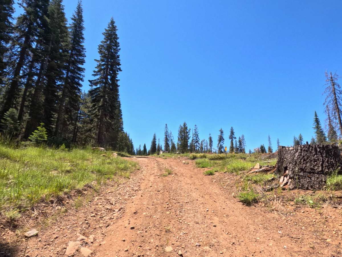
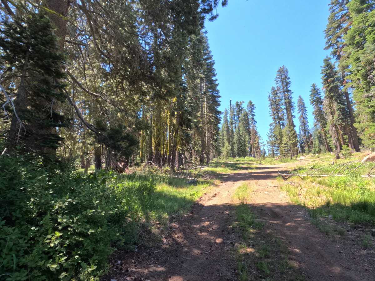
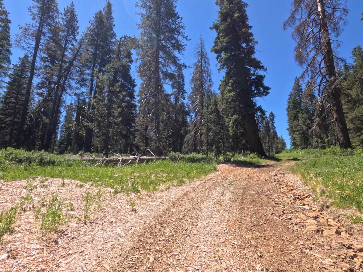
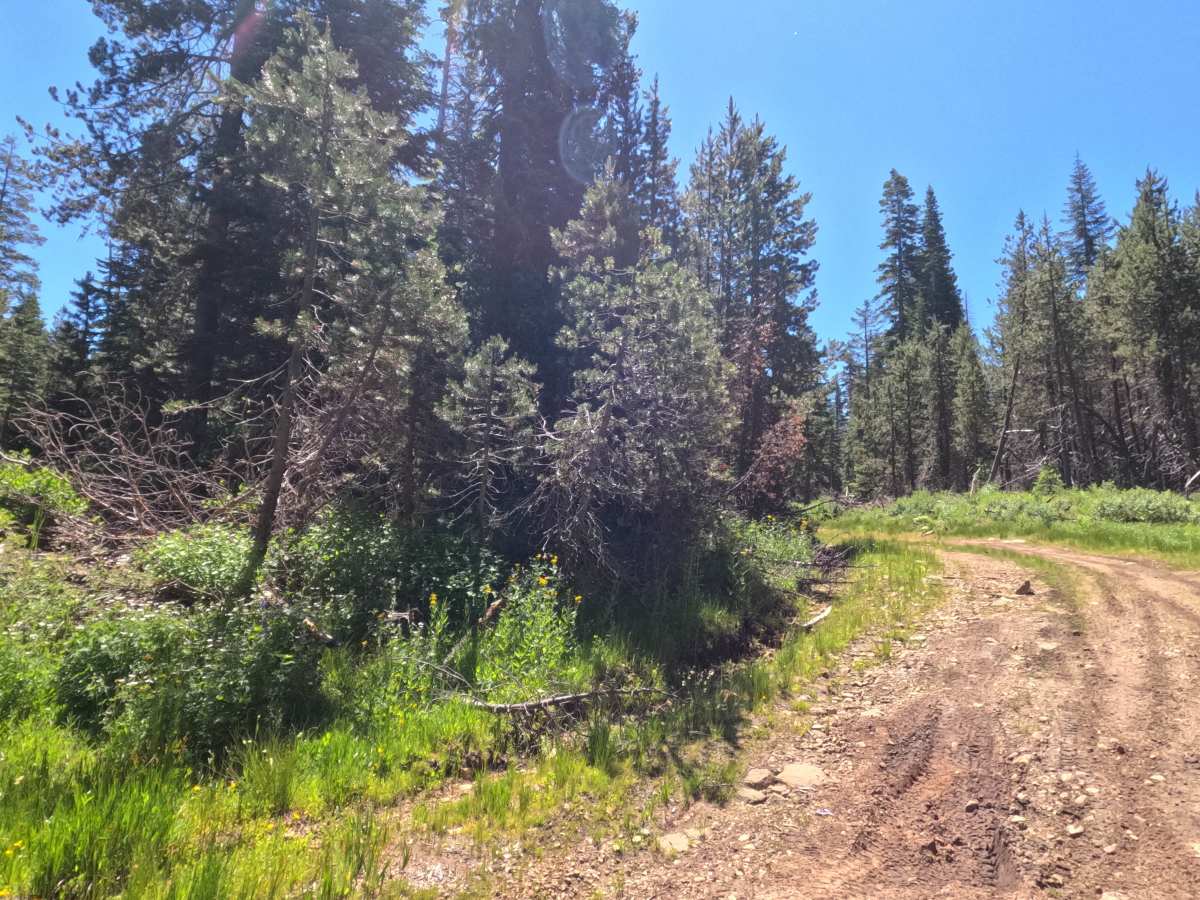
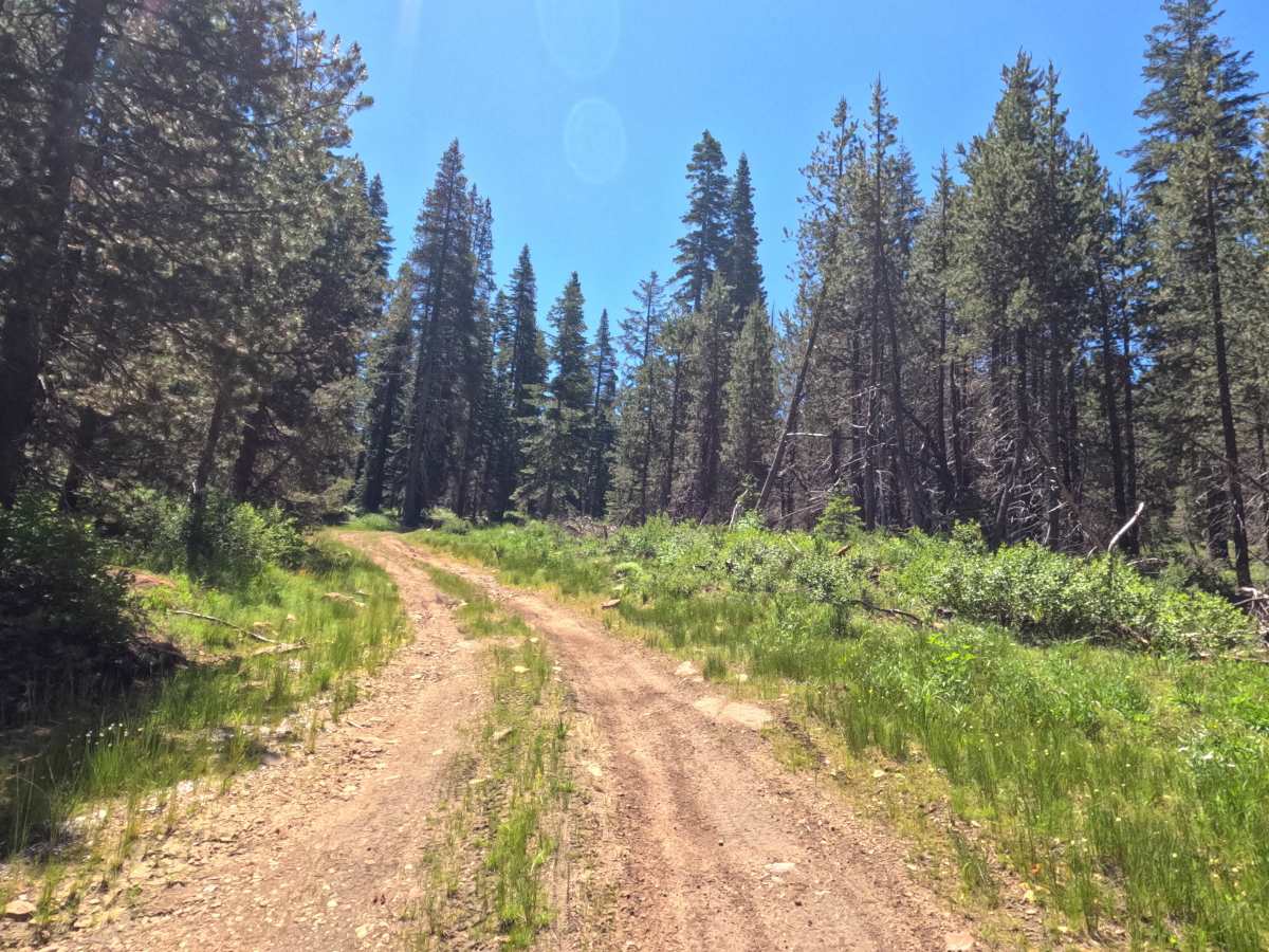
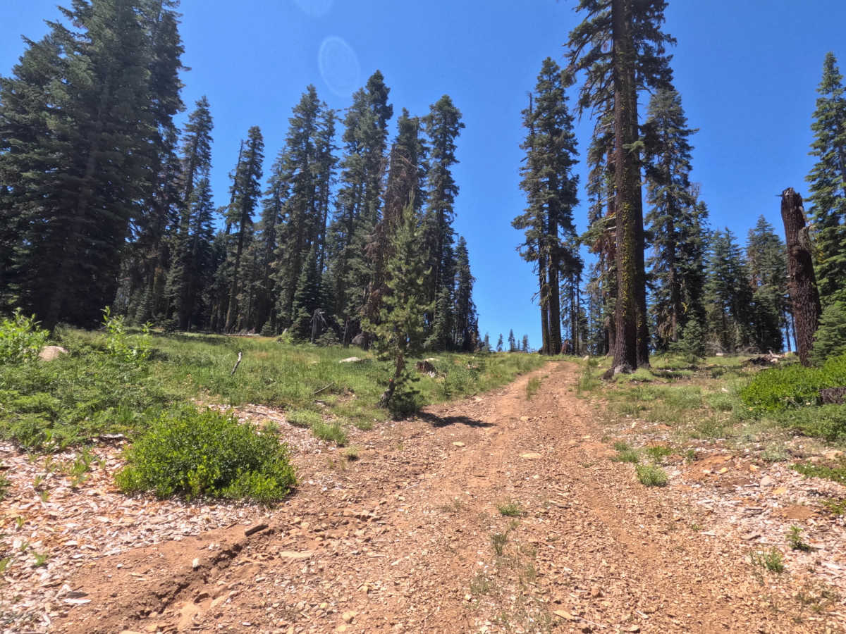
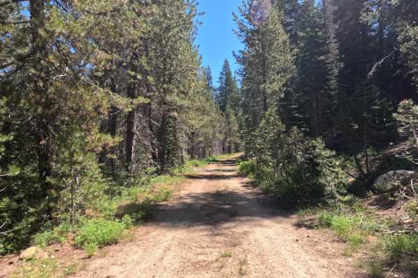
You turn uphill off Atherton Flat East onto this narrow single lane connector, riding over a decomposing granite and dirt surface that feels noticeably bumpier and more rugged than what you just left. Traction matters more than clearance here, since the climb is steep enough that momentum counts for a lot. You'll pass a section showing signs of a nearby water source, with soft mud patches that can catch you off guard after wet weather. Minor rutting and water wear show up along the way, but the lane stays clear of overgrowth the whole climb, so nothing will scratch your rig. The connector tops out at the intersection with FS 11N99A, where a downed tree currently blocks the turn.
Difficulty
This connector climbs steadily uphill on a decomposing granite and dirt surface, feeling more rugged and bumpy than a typical dirt road but not requiring significant vehicle clearance. The main challenge is traction rather than obstacles, since the steep grade means underpowered vehicles may struggle heading uphill from Atherton Flat East. Minor rutting and water wear show up in a few spots, and there are signs of a nearby water source with soft mud possible in wetter conditions. The lane is narrow but free of overgrowth. Currently, a downed tree blocks the connection at FS 11N99A, so confirm access before planning a through-route.

 Offroad