Trail Overview
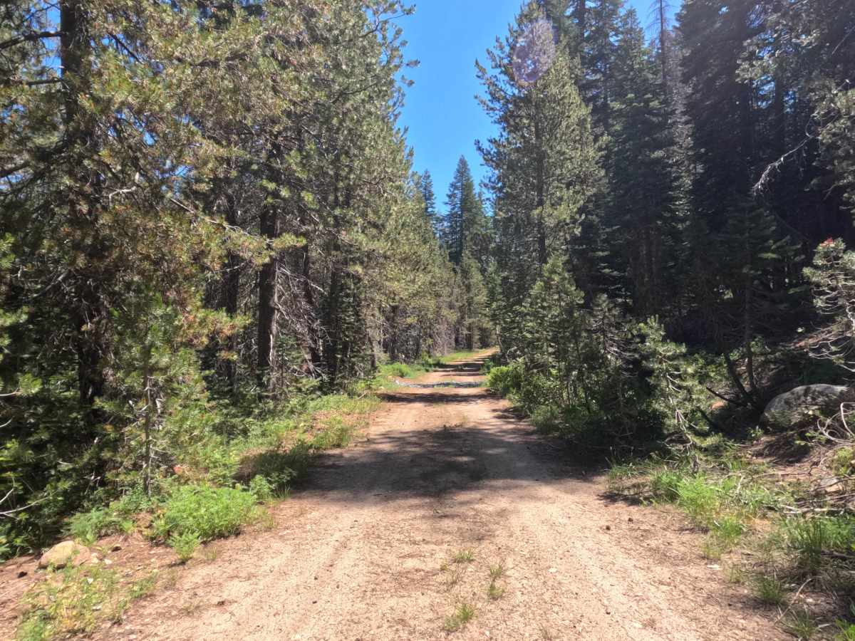
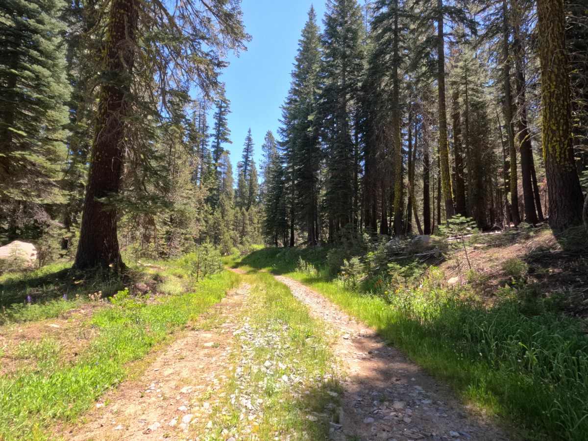
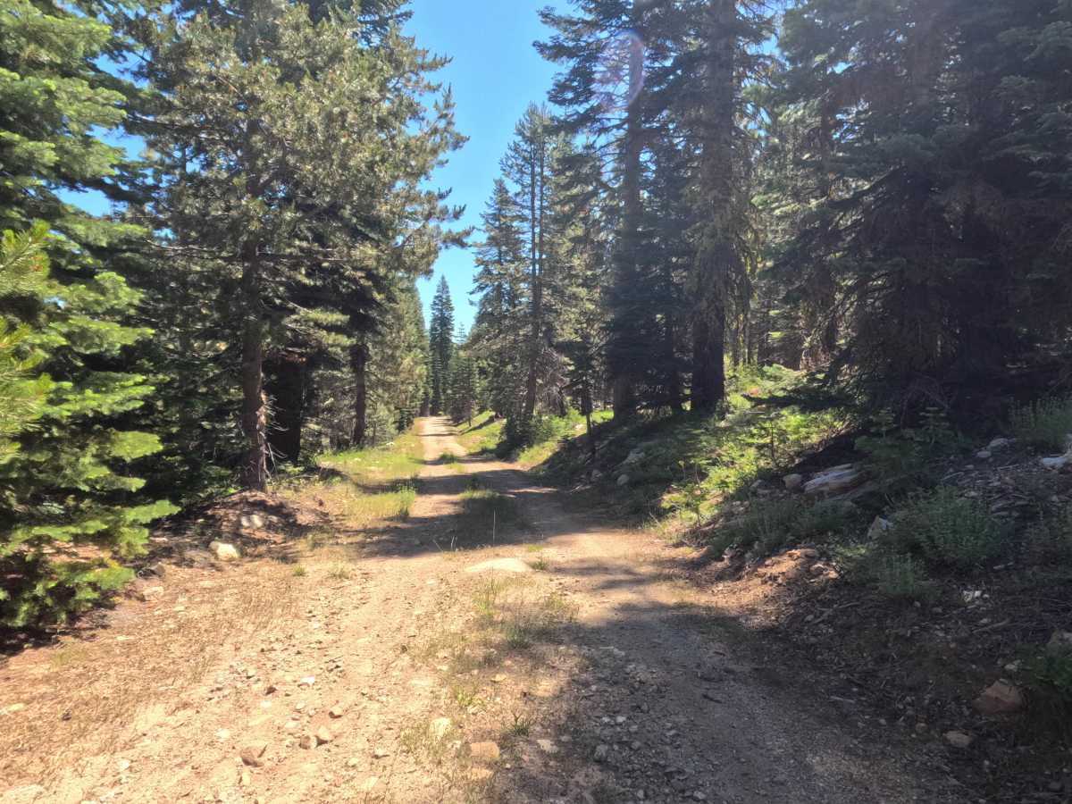
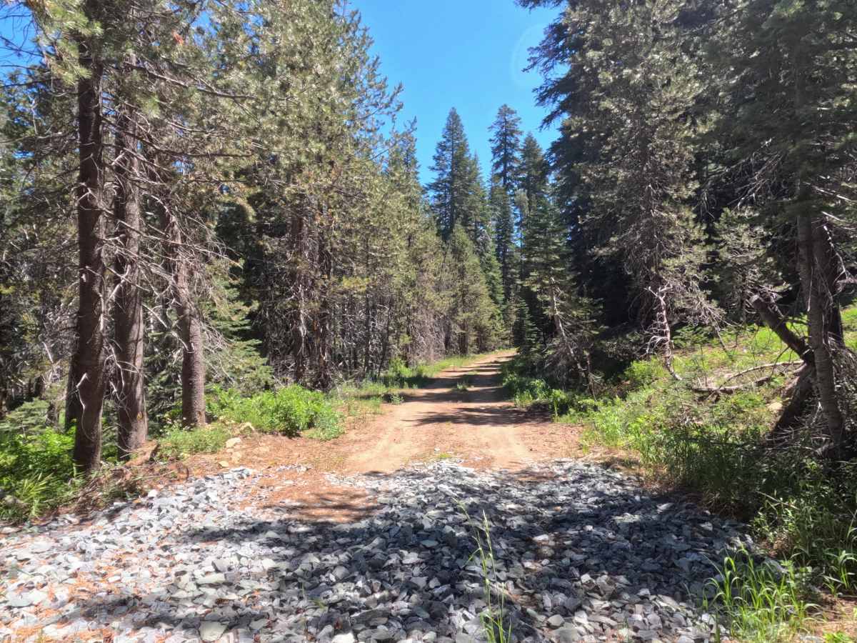
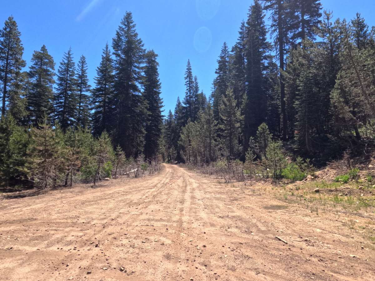
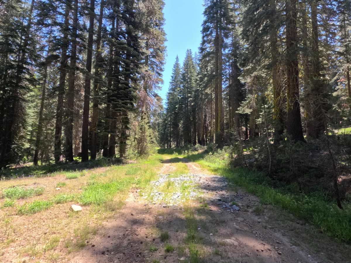
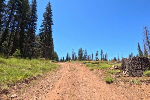
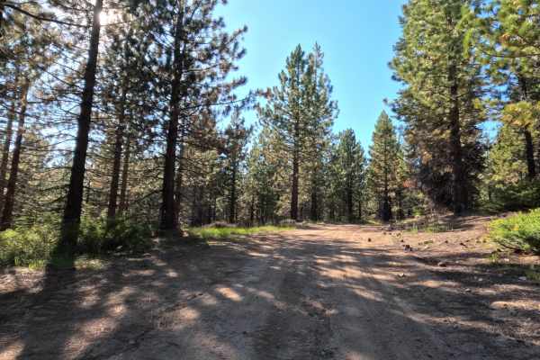
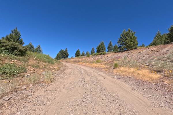
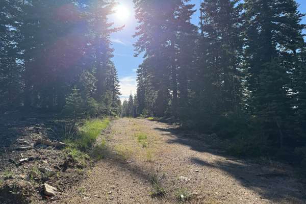
Start on a hard-packed dirt road with some bigger embedded rocks, giving you a slightly bumpy ride, but nothing you shouldn't be able to clear. The trail alternates between narrower stretches and wider sections that give you room to pass oncoming traffic. About halfway in, the road opens into grassier terrain with more vegetation creeping into the middle and edges of the track. Past a large turnaround area at roughly 0.7 miles, likely used by logging equipment, you'll notice more visible ruts and water erosion cutting through the dirt. A small offshoot near this turnaround leads towards what looks like an old dispersed campsite above South Fork Silver Creek. The road ties in at the 1.1 mile mark, connecting FS 11N99AA and FS 11N29 Atherton Tie.
Difficulty
This is primarily an easy trail along most of its length, with a hard-packed dirt surface and some embedded rocks that make for a mildly bumpy ride, but nothing that threatens clearance. There are no significant dips, ledges, or rock obstacles anywhere along the route. The only technical concern comes near the turnaround area around 0.7 miles in, where rutting and water erosion have carved into the dirt, requiring a bit more attention to line choice. Vegetation also thickens in this section, though it does not encroach enough to limit passable width. Overall, this is a low-difficulty route suitable for a wide range of vehicles.