Trail Overview
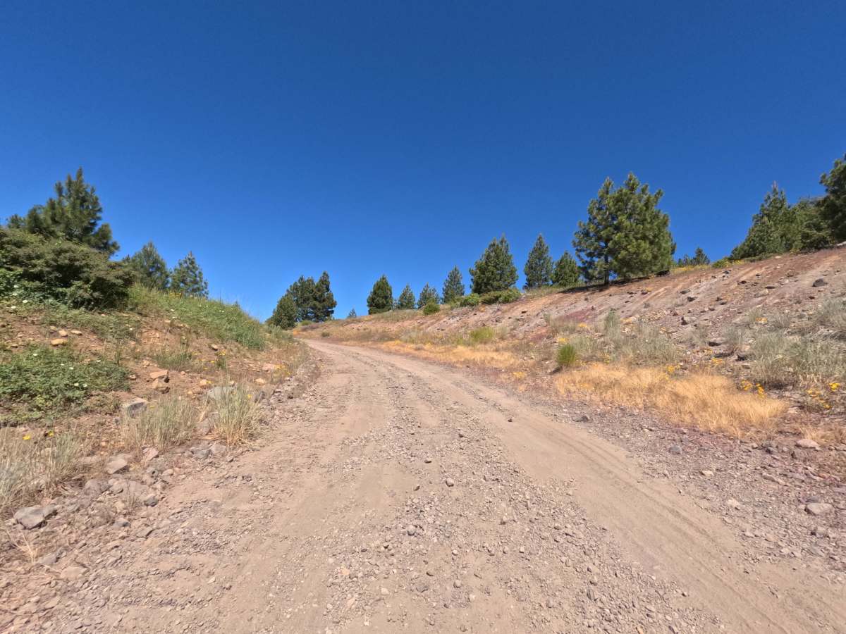
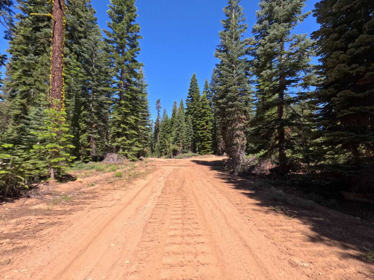
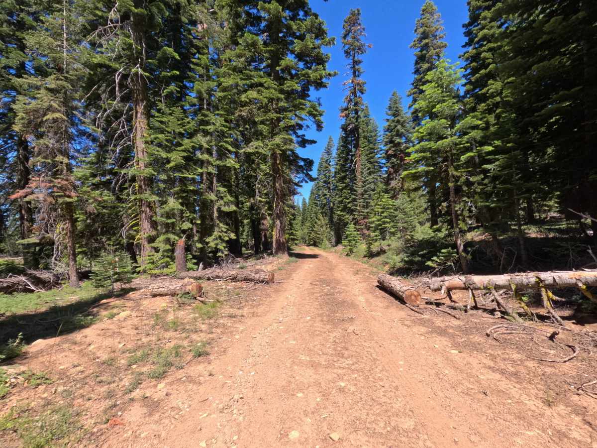
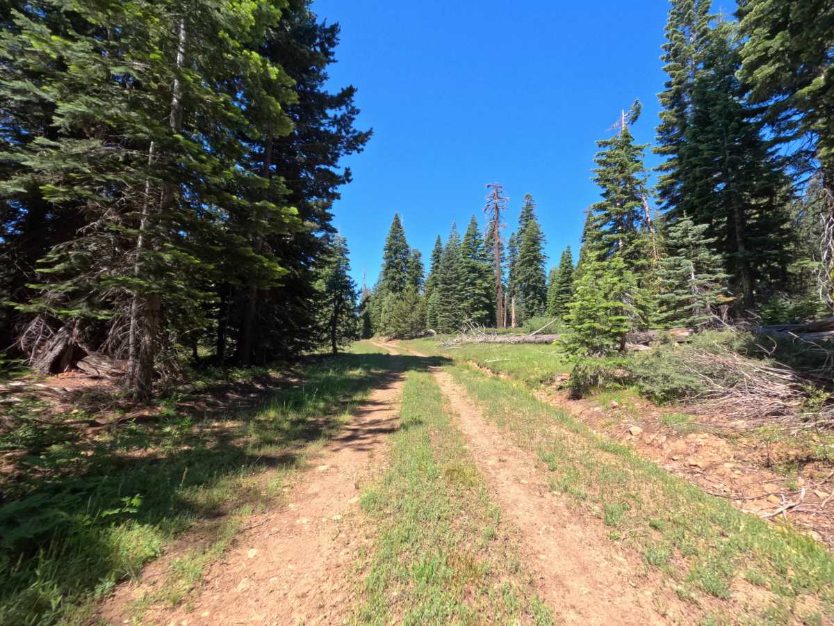
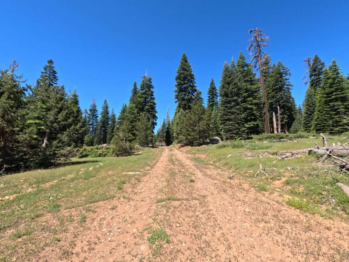
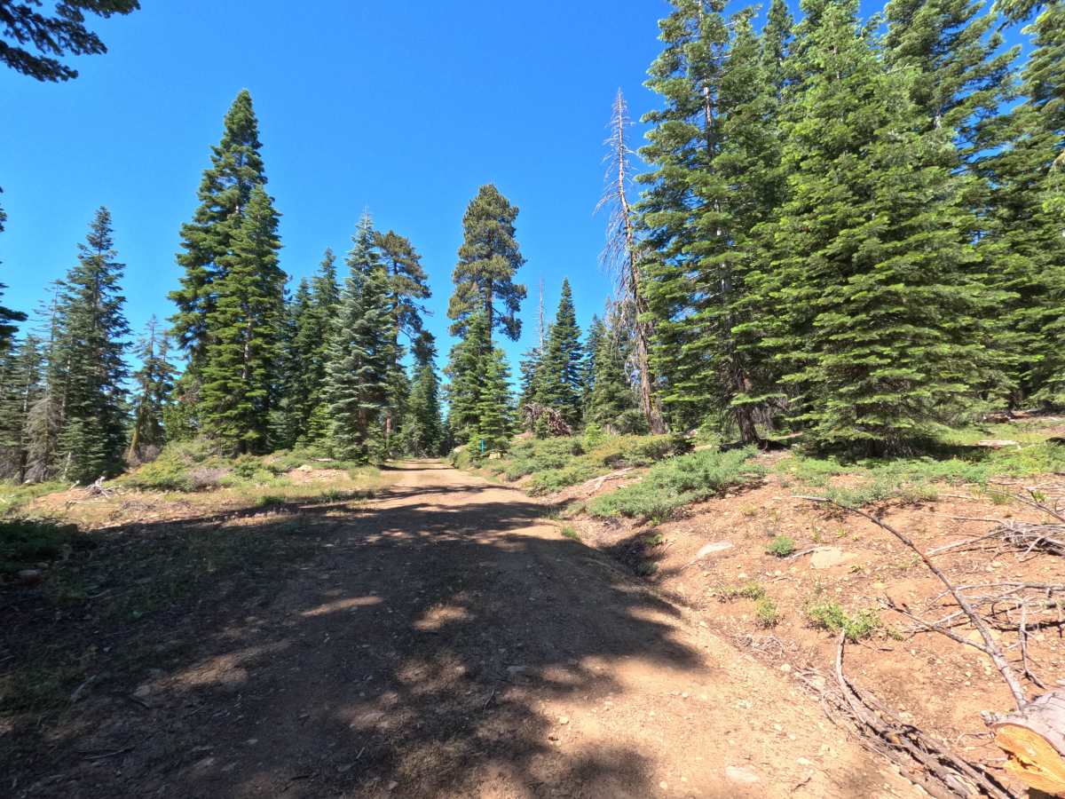
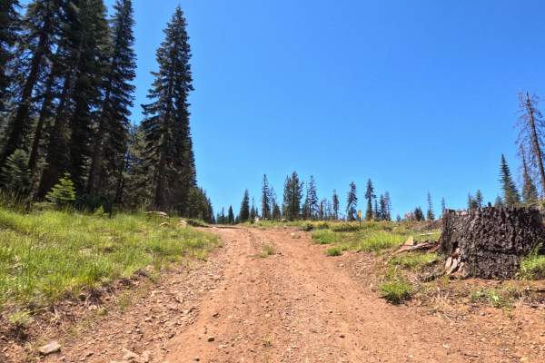
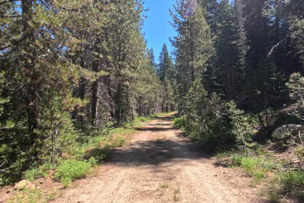
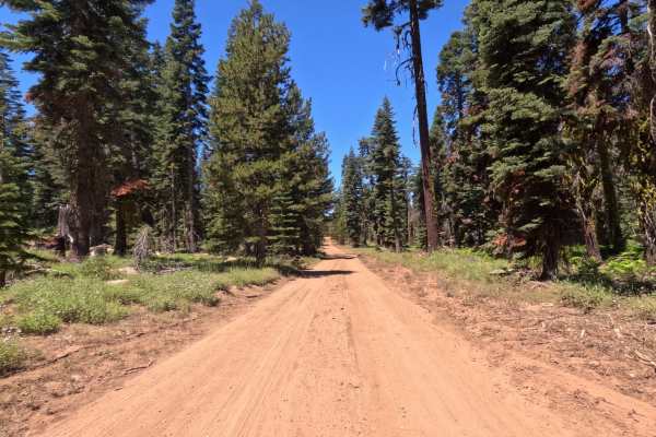
Atherton Tie - FS 11N29 is a 2-mile dirt route that forks off Granite Springs Road. It begins without an official road sign, though a "29" is painted on a rock to the left of the start. The trail immediately heads uphill on packed dirt featuring loose rock and minor water erosion, creating a somewhat bumpy start. Initially, it is a single-lane track without significant brush overgrowth. The route travels along the boundary between El Dorado National Forest and active Sierra Pacific logging land, where you will see extensive logging activity. Just past Atherton Flat East - FS 11N34, the trail narrows and features obstacles like downed trees and limbs. These obstacles are passable for narrow vehicles (up to Toyota Tacoma size) but will block wider rigs unless a chainsaw is used to clear the path. Points of interest along the route include historic markers for the "Johnson Cutoff" and an attractive dispersed campsite with an old fire ring near the end. Several unmarked logging roads continue past the trail's end, looping around with spurs that connect back to FS 11N29.
Difficulty
The trail earns a Level 2 rating due to its bumpy uphill start, which features loose rock and minor water erosion. While high clearance is not strictly necessary for the road surface itself, narrowing sections with downed trees create obstacles that require a narrower vehicle footprint to bypass. Wide rigs will likely be unable to pass unless equipped with a chainsaw and the know-how to use it.

 Offroad