Trail Overview
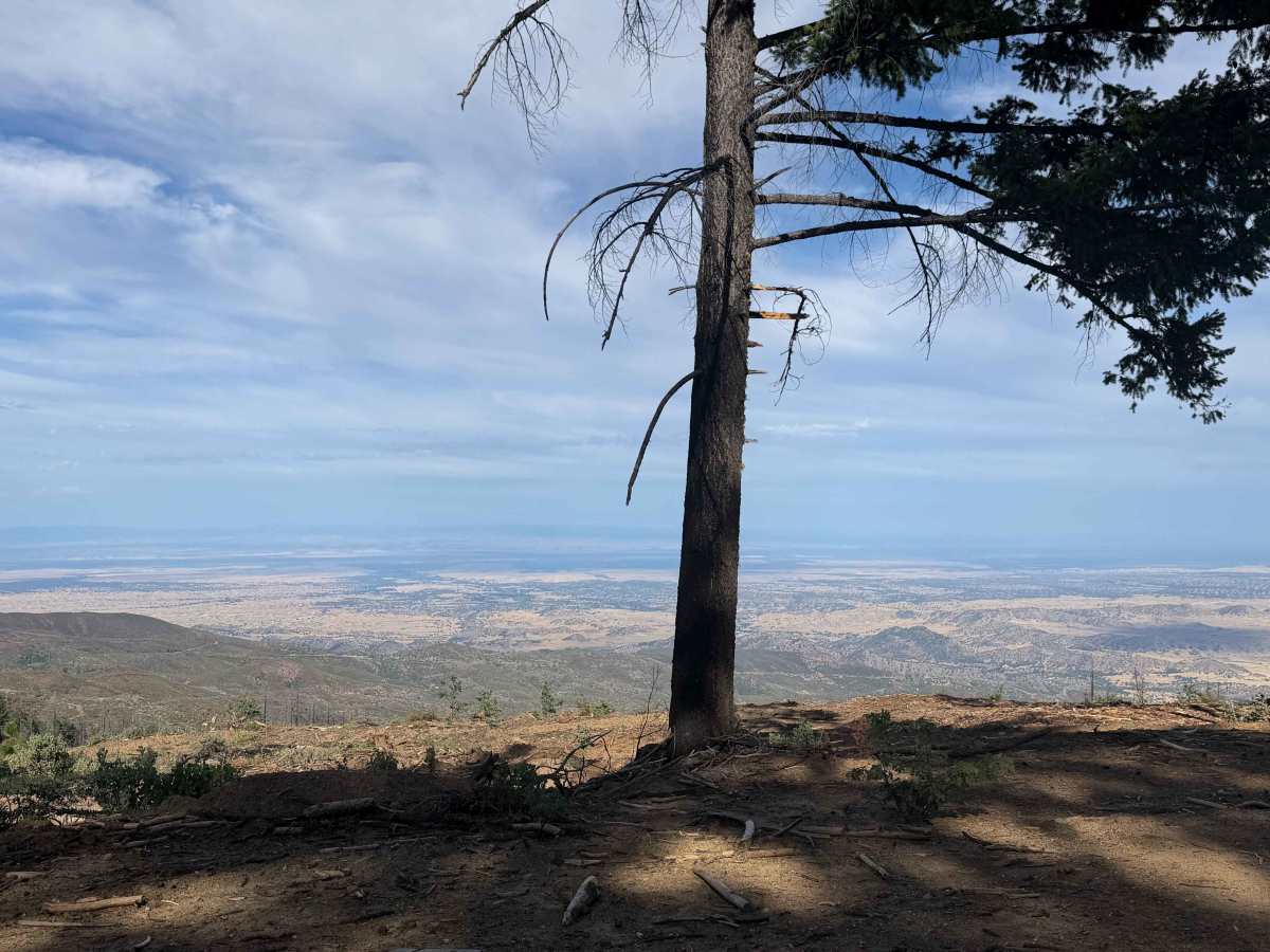
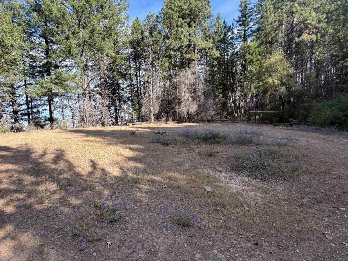
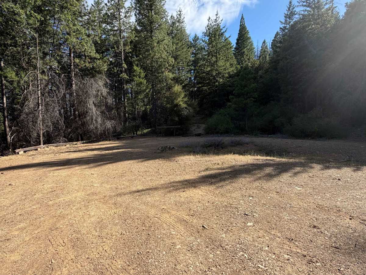
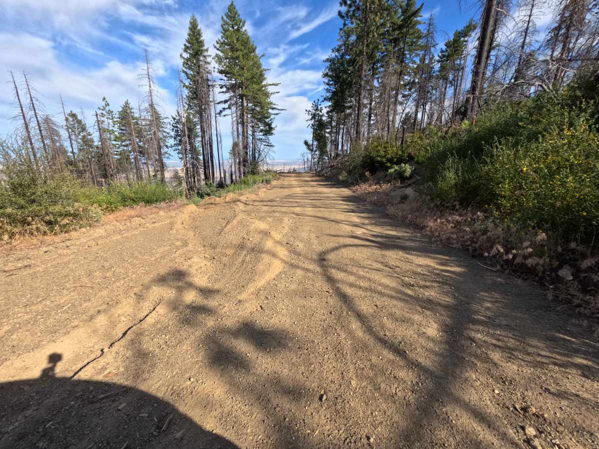
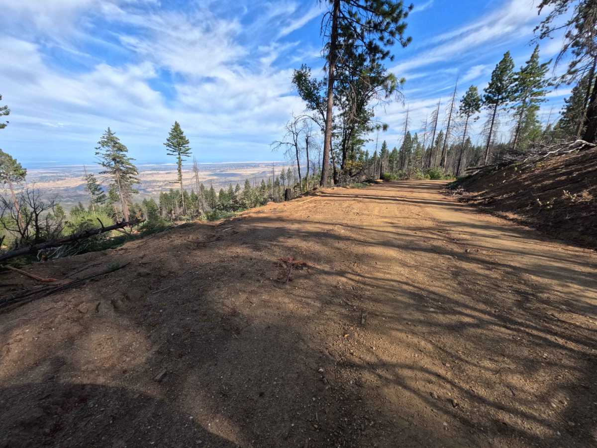
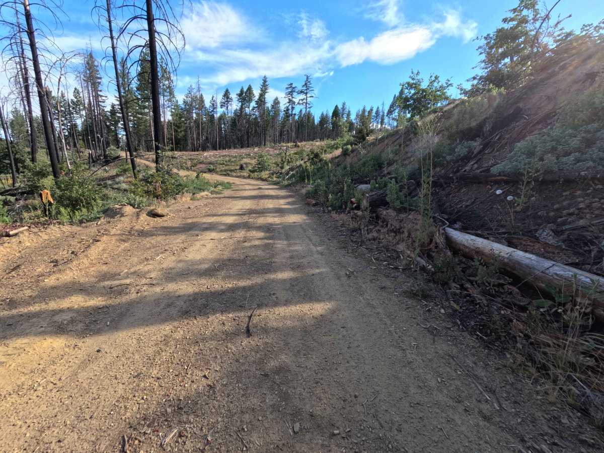
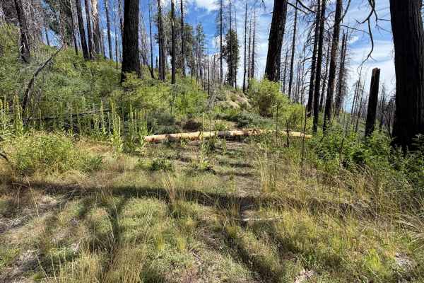
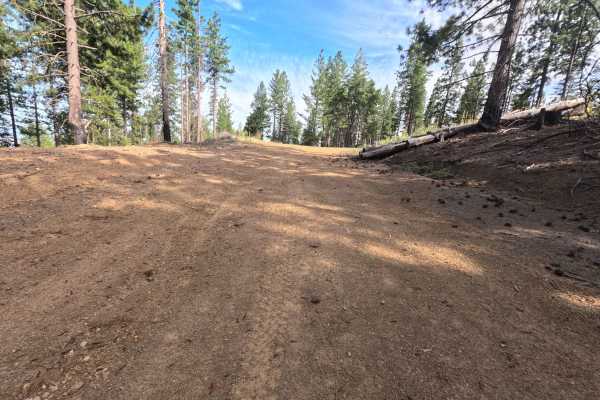
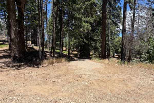
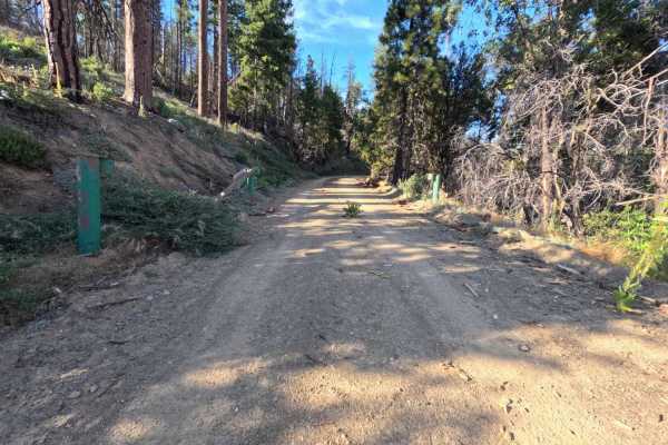
Branching off from the main artery of Forest Road M2, Lower Alltop - FS 24N56 is a gentle out-and-back spur that dips down along the mountainside in the Mendocino National Forest. Navigating through an environment recovering from the massive 2020 August Complex Wildfire, the route features standing snags alongside fresh undergrowth and patches of surviving green conifers. The track transitions smoothly from fine gravel to hard-packed dirt with pine needle litter, maintaining a wide and well-graded profile along the descent. Along the way, travelers will encounter convenient pullouts at 0.8, 1.0, and 1.6 miles, ideal for shaded, dispersed camping. The route culminates at the 1.7-mile mark in an expansive turnaround equipped with a fire ring and a horse post, serving as a key staging area for equestrian riders and hikers accessing nearby ridge trails.
Difficulty
Rated a 1 in difficulty, this double-track fire road presents no notable technical obstacles or steep off-camber challenges. The road surface remains smooth, wide, and well-maintained throughout, transitioning from light gravel to hard-packed soil without deep ruts, exposed bedrock, or severe washouts. High clearance and four-wheel drive are completely unnecessary under dry conditions, making the entire route easily manageable for standard passenger vehicles.

 Offroad