Trail Overview
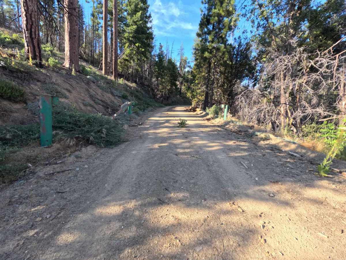
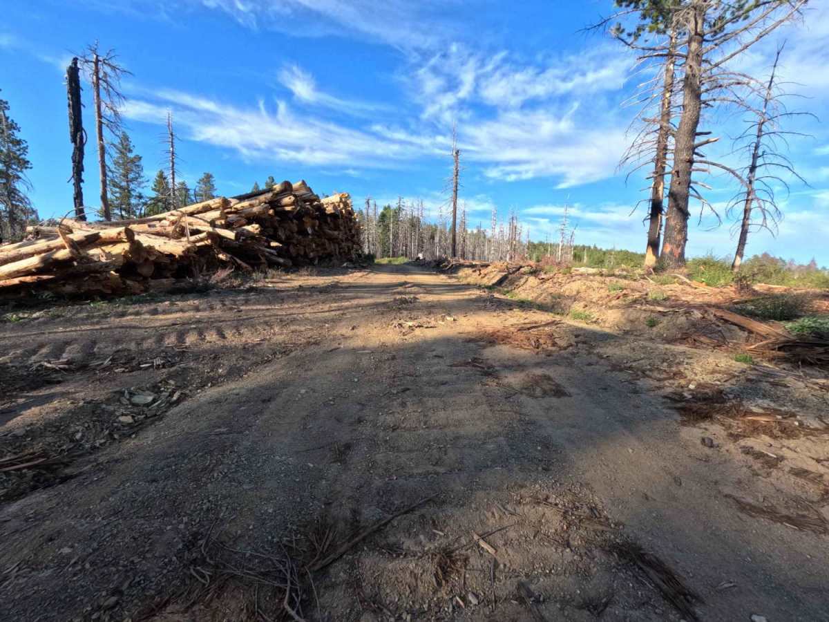
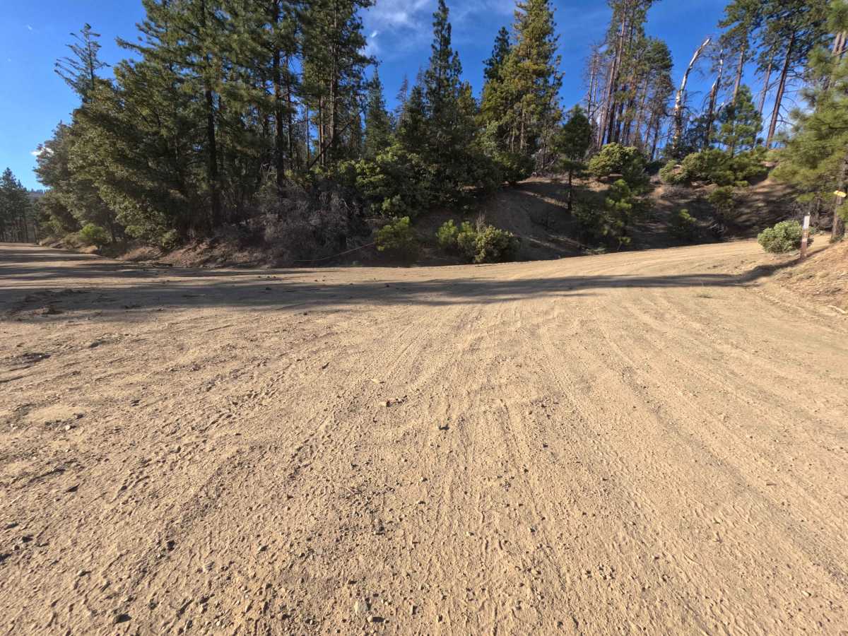
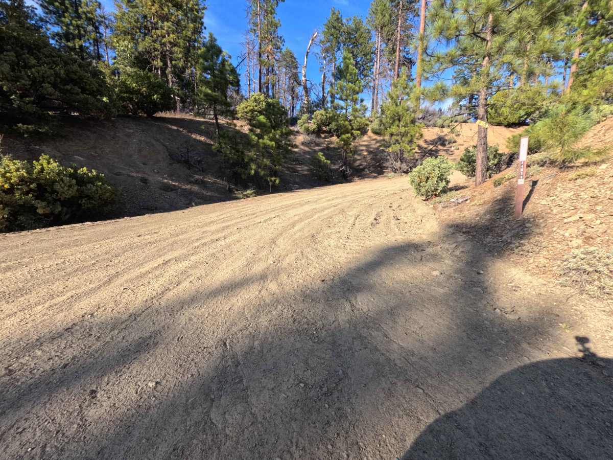
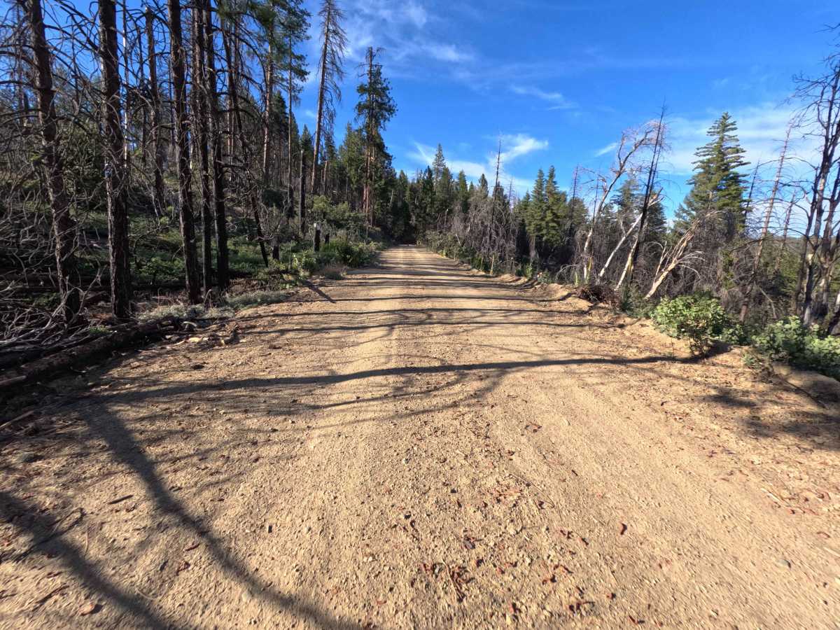
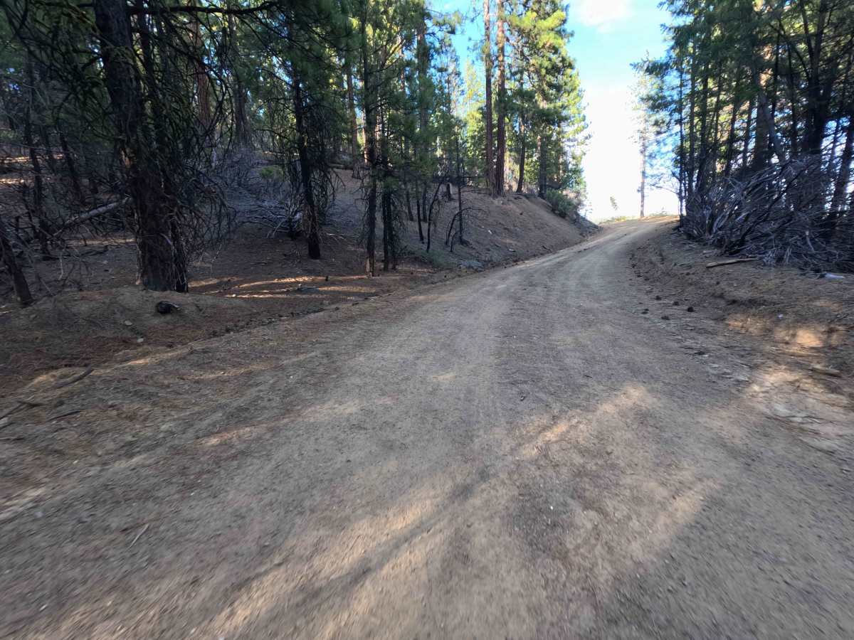
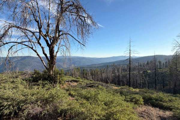
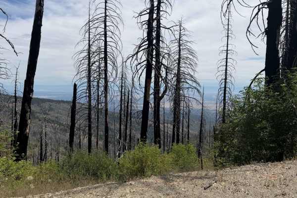
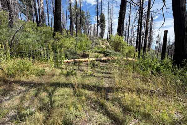
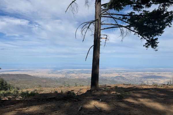
Set within a high-country pine forest recovering from the massive 2020 August Complex Fire in the Mendocino National Forest, Trough Ridge (FS 24N05) provides a picturesque and accessible mountain ascent. Accessed directly off of the primary Paskenta-Eel River Road (Highway M2), this 2.6-mile connector route climbs roughly 1,200 feet in elevation before merging with Tatham Ridge (FS 24N110) to deliver seamless throughput deeper into the regional forest road system. Public forest visitors frequently travel this scenic ridge path to enjoy expansive valley overlooks, access backcountry OHV connectors, or locate primitive camping spots. The driving surface consists of a wide, well-graded dirt and gravel road free of major ruts, earning an easy Grade 1 difficulty rating. Early into the drive, at roughly 0.1 miles, travelers pass through a seasonal forest service gate. Continuing upward along the smooth climb, a fork appears at 1.2 miles where keeping to the right maintains the primary path. The road meanders past active timber salvage areas and standing pine snags before concluding at the Tatham Ridge junction.
Difficulty
This broad dirt and gravel ridge road offers an exceptionally smooth and predictable ascent. The entire 2.6-mile climb is completely free of steep rock steps, deep mud trenches, washouts, or clearance-testing obstacles. Standard stock vehicles can easily navigate the steady 1,200-foot incline under normal dry seasonal conditions without needing specialized four-wheel-drive systems or elevated ground clearance. Drivers should simply maintain a steady speed on the uphill grade, watch for minor surface gravel on turns, keep to the right at the 1.2-mile fork, and stay alert for official logging equipment near timber staging clearings.

 Offroad