Trail Overview
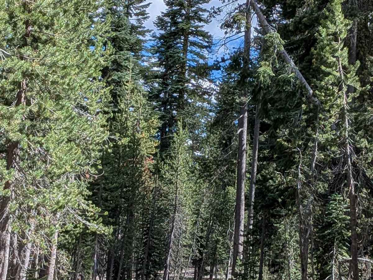
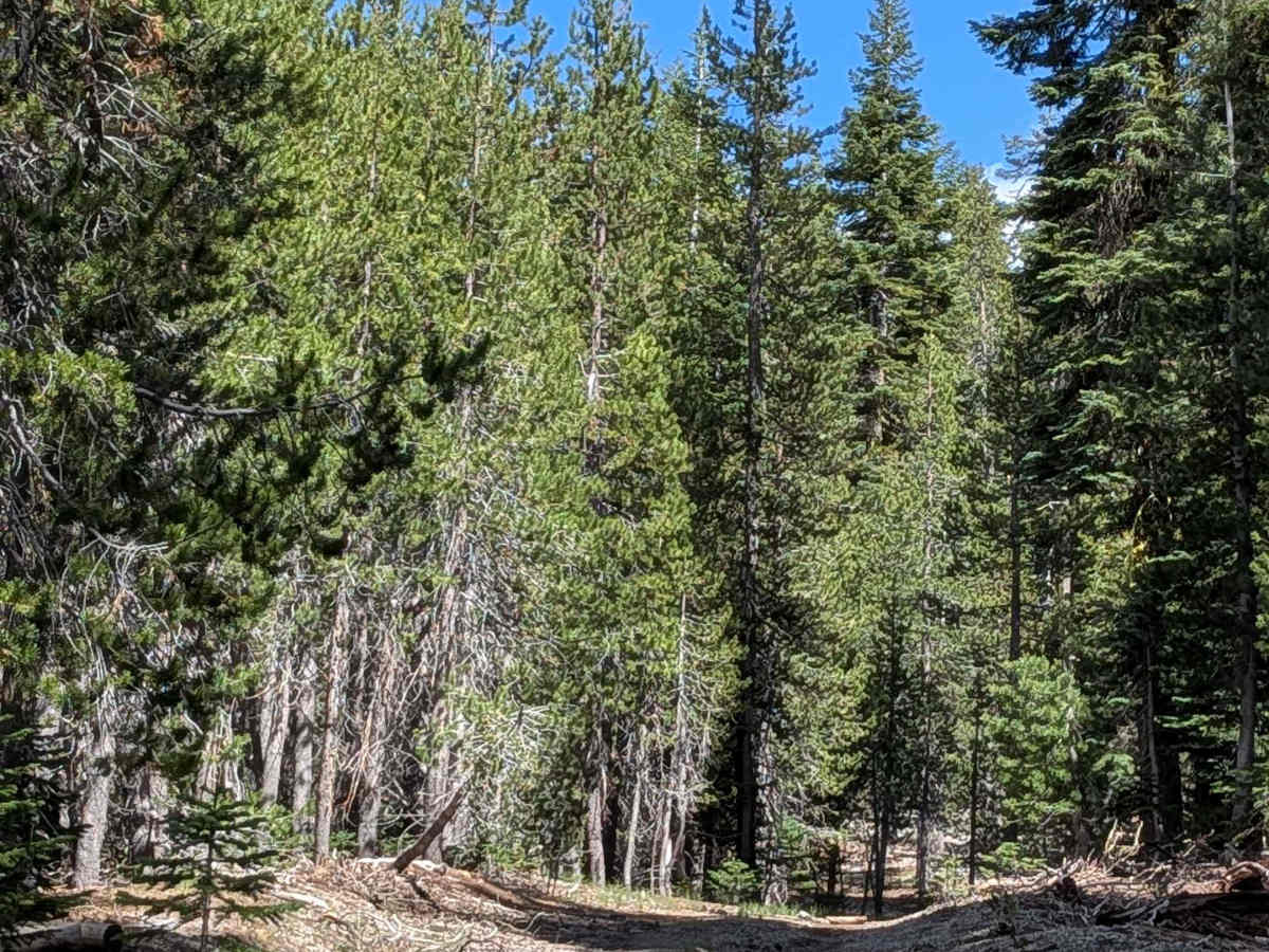
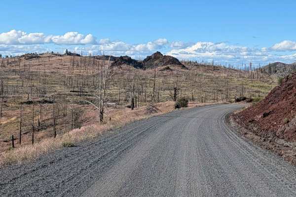
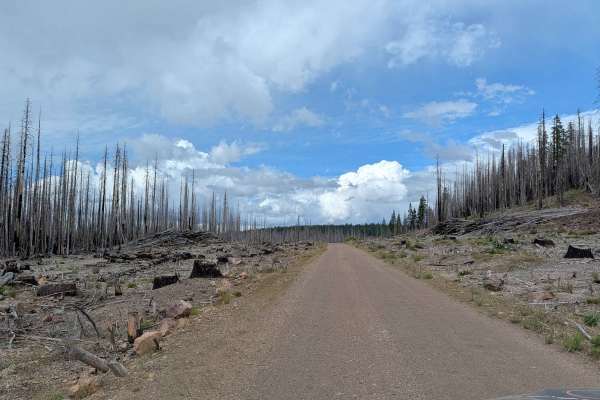
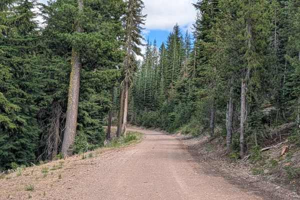
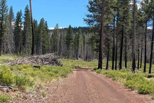
This 1-plus-mile point-to-point trail serves as a critical connector within the Forest Service's backcountry discovery trail system. The route spans the transition zone between the Klamath National Forest and the Modoc National Forest, linking Medicine Lake (FS 43N48) to the Railroad Grade East arterial. Despite its short length, it provides a quintessential backcountry experience, showcasing the diverse ecological transitions characteristic of the region.
Difficulty
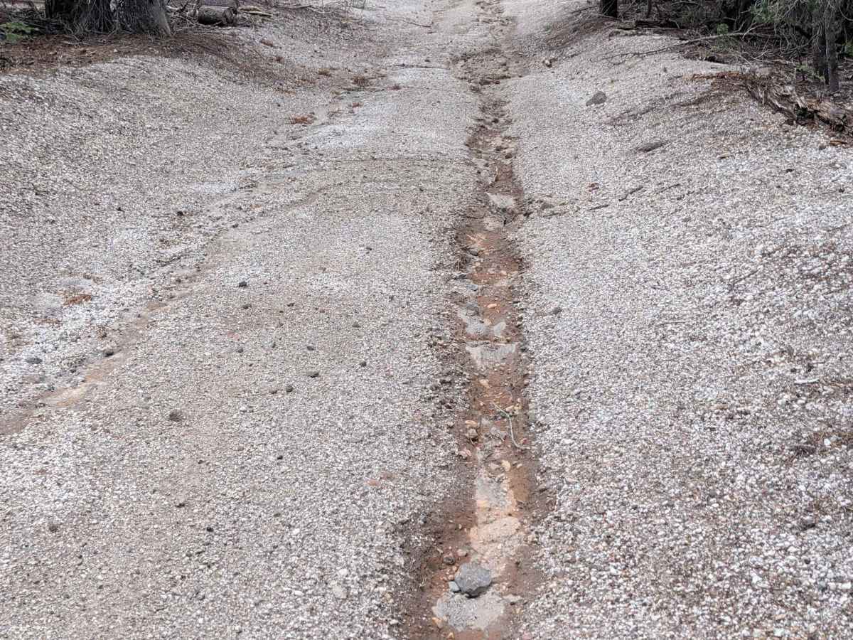
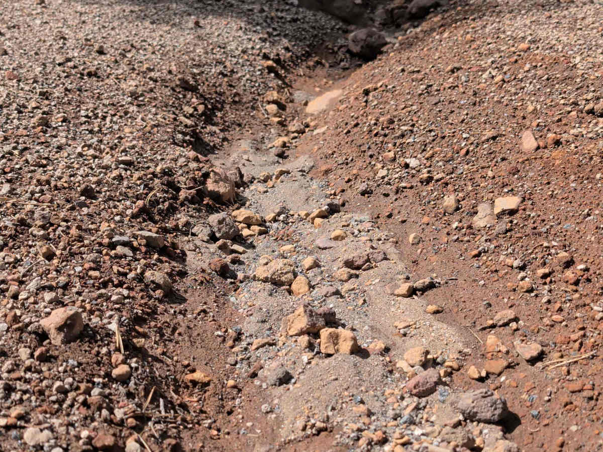
Carrying a rating of 3, this is a technical short-distance route that requires focused driving. The surface consists of dirt and gravel with stretches of small rock. You will encounter several technical challenges: ruts up to 12 inches deep, off-camber sections that demand careful weight distribution, and tight maneuvering between mature trees. Additionally, be aware that there are specific spots on the trail that hold moisture and can become very wet and slick following seasonal rains or snowmelt. These sections can turn into mud traps, so assess the ground texture carefully before committing your vehicle.