Pumice Stone - FS 43N01

Total Miles4.9
Technical Rating
2Easy
Best TimeSpring, Fall
Trail TypeFull-Width Road
Accessible By
Open Trail Map

Trail Overview

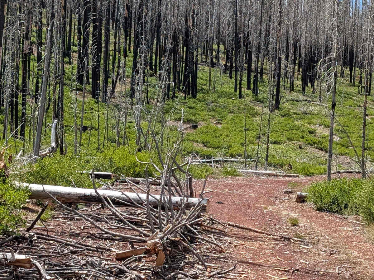
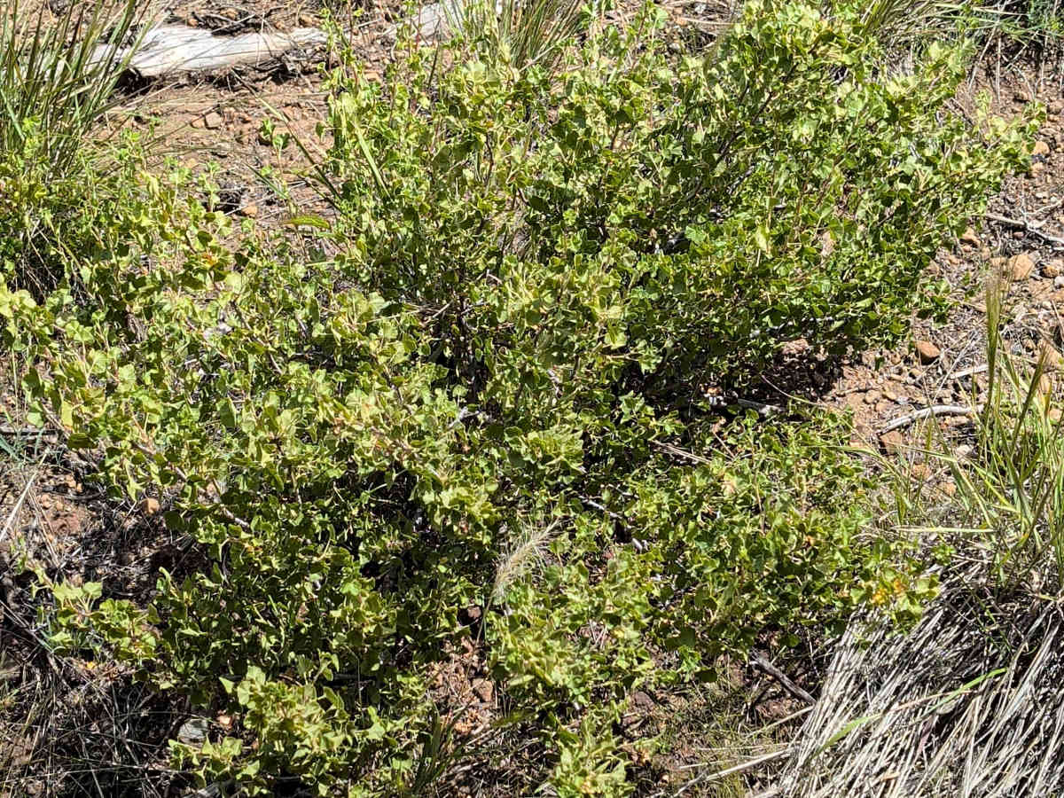
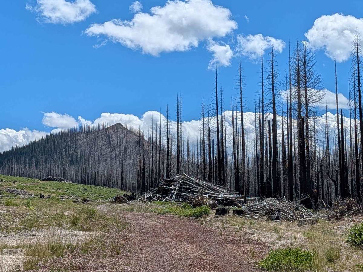
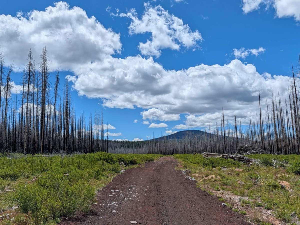
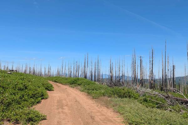
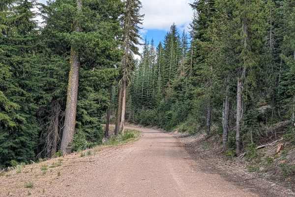
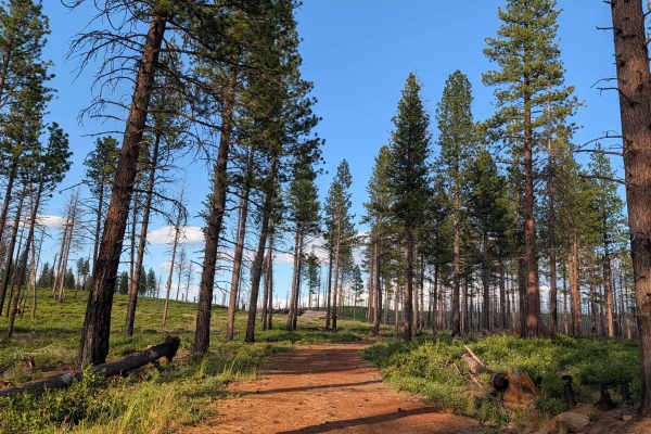
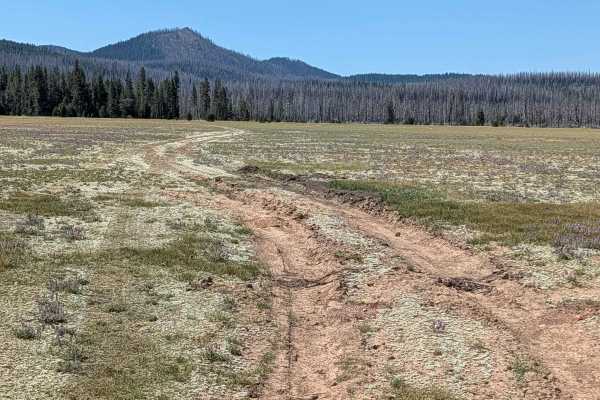
This 5-mile point-to-point trail serves as a scenic route between Highway 15—the Volcanic Legacy Scenic Byway—and Pumice Mountain East. The route traverses the Klamath National Forest and the expansive burn scar of the 2021 Antelope Forest Fire. The landscape is currently in a vibrant state of ecological recovery; the trail is lined with dense new-growth foliage, most notably manzanita and antelope bitterbrush. As you navigate the route, you are treated to occasional, striking views of Mount Shasta peeking through the charred and recovering forest canopy.

Photos of Pumice Stone - FS 43N01

Difficulty

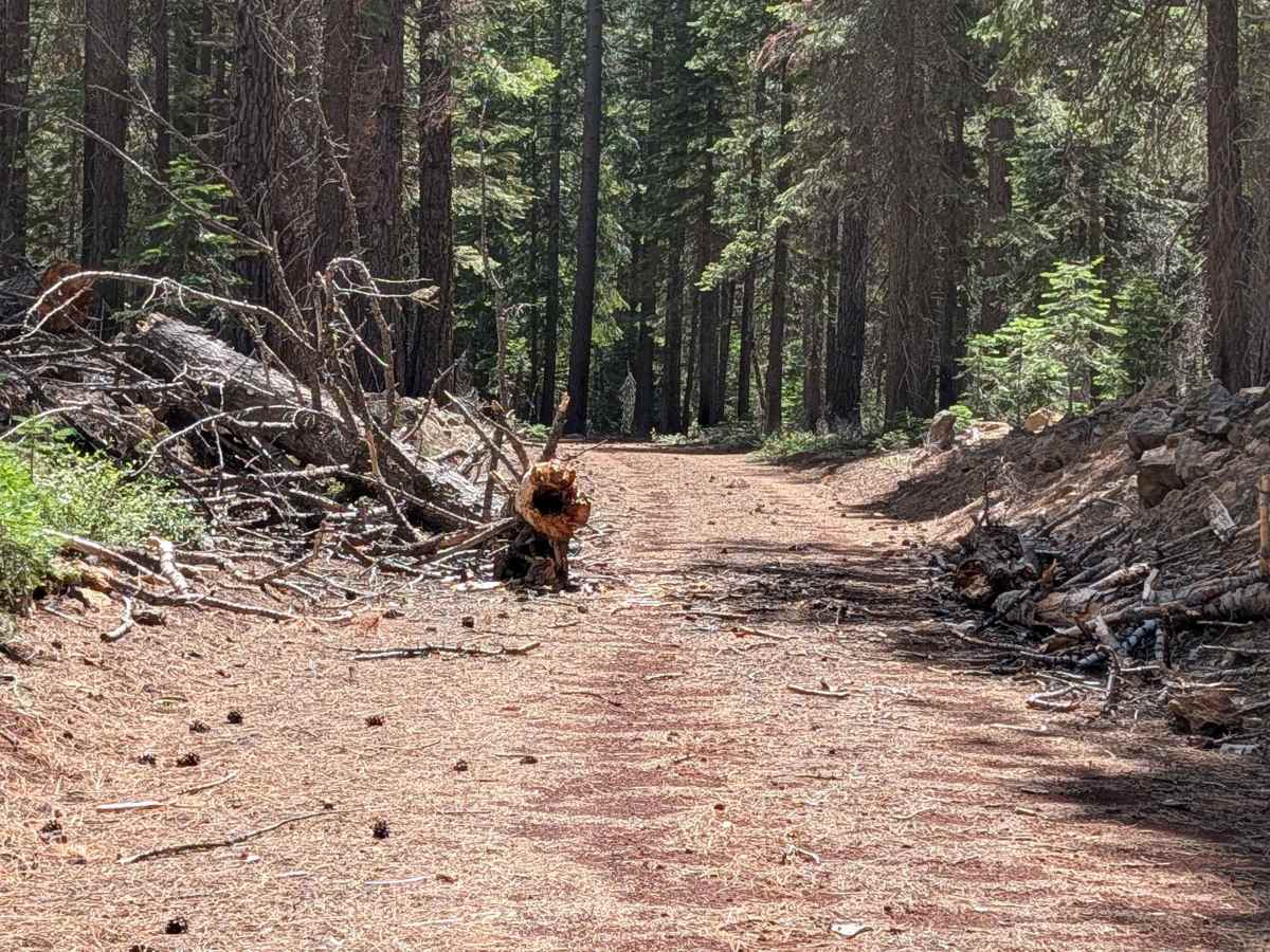
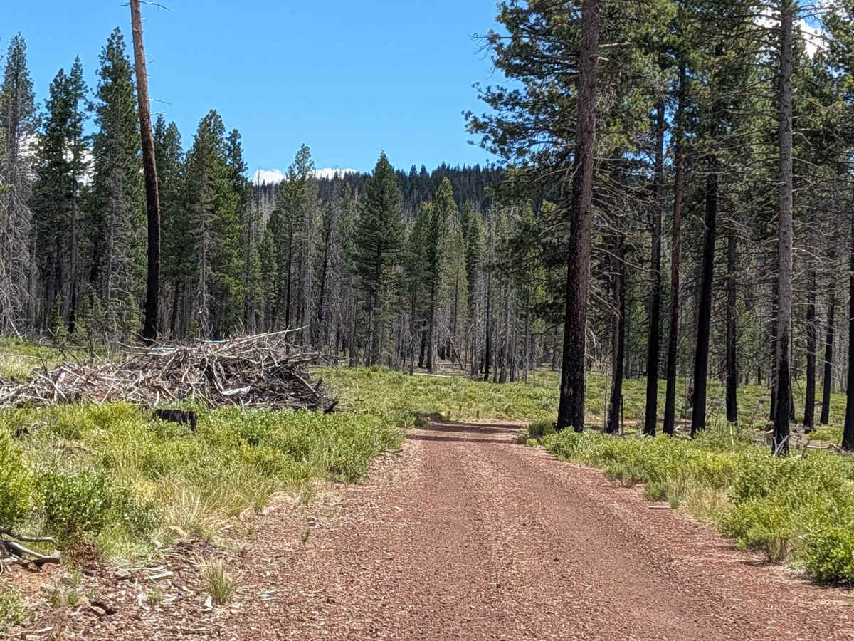
Carrying a rating of 2, the trail surface has been improved with crushed red rock, providing good traction. You will experience a 500-foot elevation drop throughout the transit. While generally straightforward, the trail features a few technical constraints: you will encounter several sections where downed trees have been cleared to the side, creating tight, narrow passages that must be navigated with caution. Some of these tight squeezes occur along shelf-road sections, where precise vehicle placement is required. Additionally, expect minor ruts under 6 inches in depth, which are easily managed with standard clearance.

Technical Rating

2

Pumice Stone - FS 43N01 Trail can be accessed by the following ride types:

  • Single Track
  • 50 Inch
  • 60 Inch
  • High Clearance
  • Full Width

Pumice Stone - FS 43N01 Map

The onX Offroad Difference

onX Offroad combines trail photos, descriptions, difficulty ratings, width restrictions, seasonality, and more in a user-friendly interface. Available on all devices, with offline access and full compatibility with CarPlay and Android Auto. Discover what you're missing today!

Open Trail Map