Ice River Ridge - FS 41N10X

Total Miles3
Technical Rating
2Easy
Best TimeFall, Summer, Spring
Trail TypeFull-Width Road
Accessible By
Open Trail Map

Trail Overview

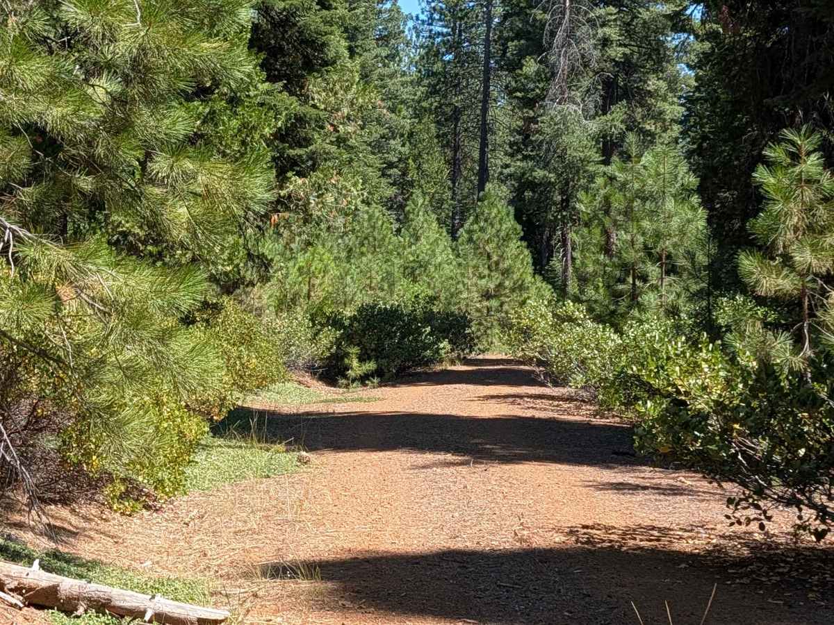
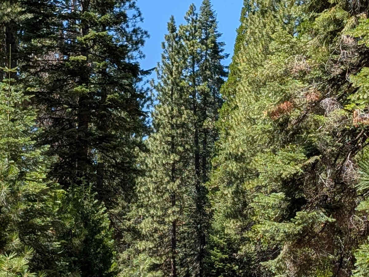
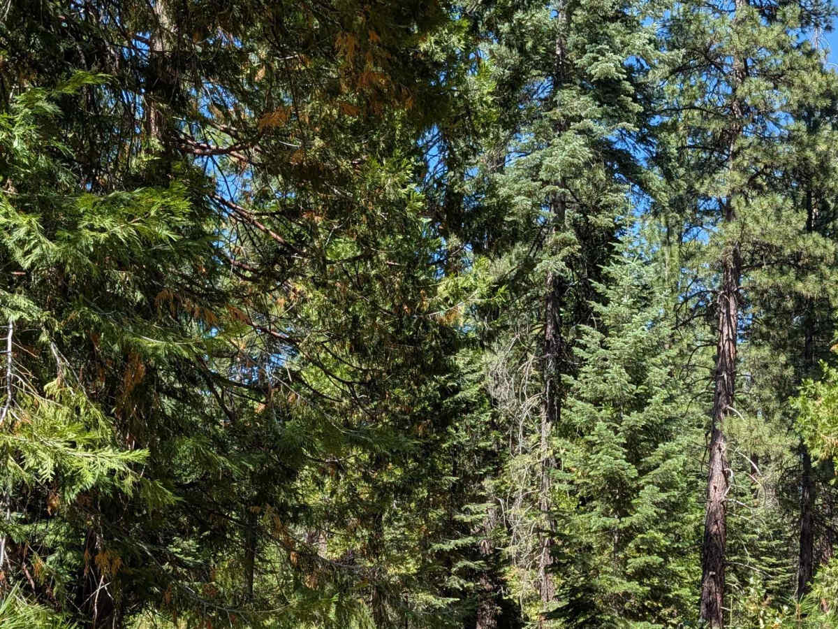
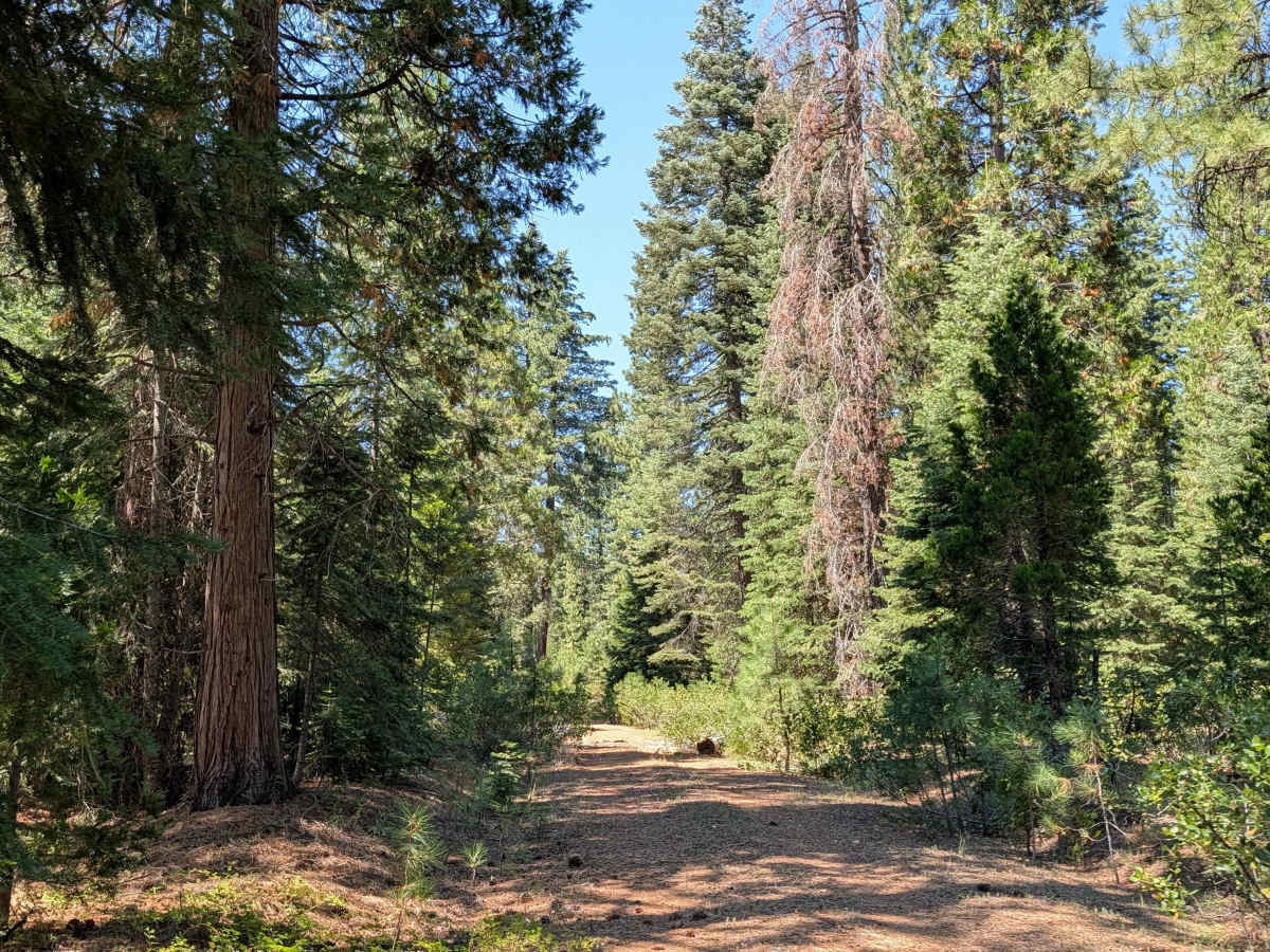
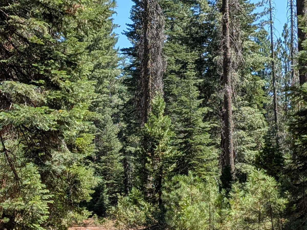
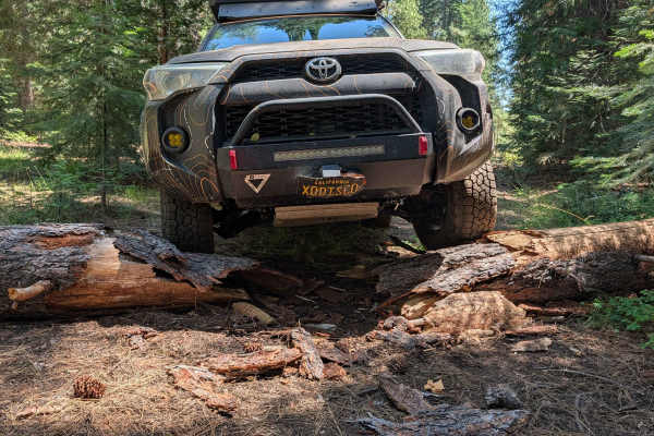
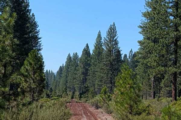
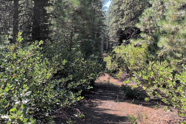
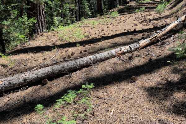
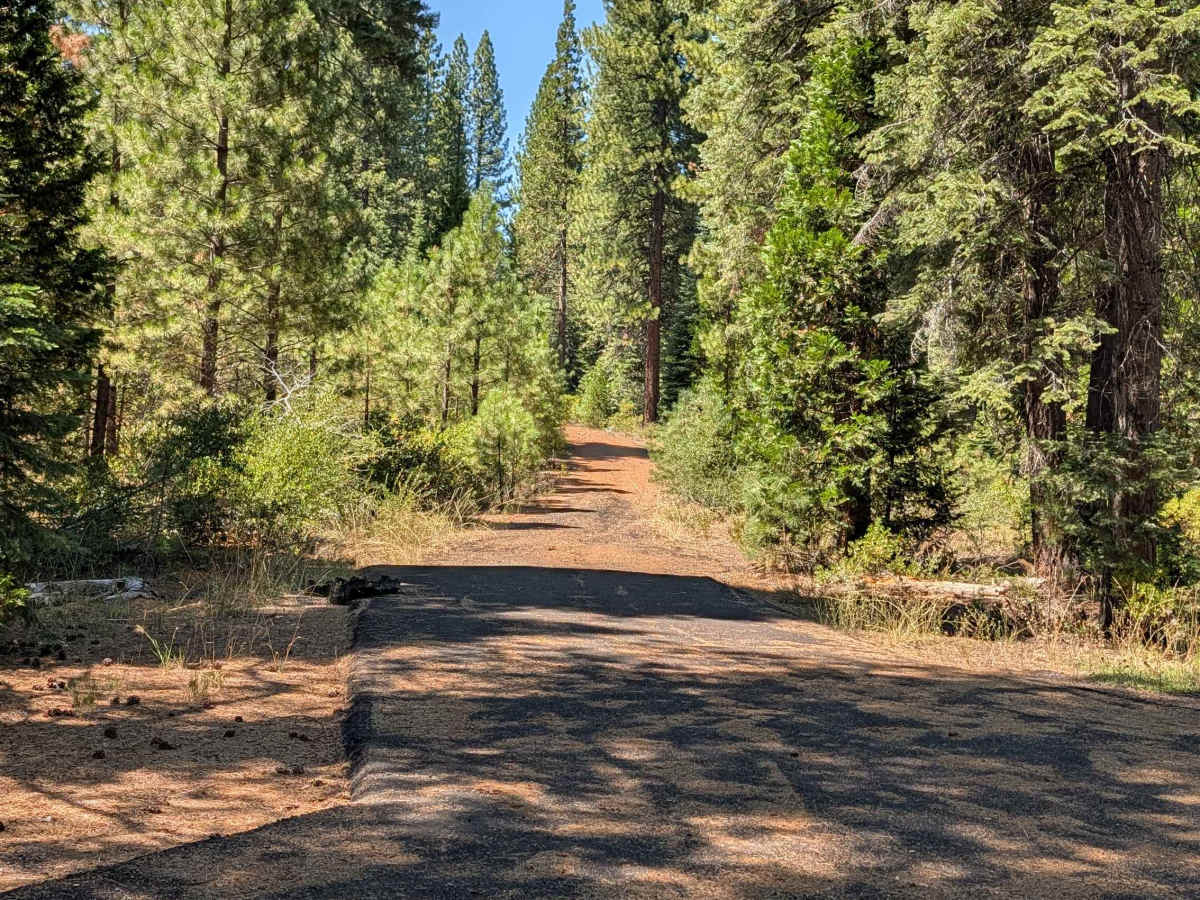
This 3-mile out-and-back trail starts and returns to Medicine Lake Road, also known as Highway 49. After an initial short climb, the trail levels out and stays fairly flat for the remainder of the drive. The surface is loose dirt covered with small rocks and pine cones, running through the Shasta National Forest among a mix of old and new growth pine trees. The road narrows at times, with lots of overgrown manzanita brush encroaching into the path.

Photos of Ice River Ridge - FS 41N10X

Difficulty

This route carries an easy difficulty rating of 2, with the initial climb and the narrower, brush-lined sections being the main considerations along an otherwise flat route.

Technical Rating

2

Ice River Ridge - FS 41N10X Trail can be accessed by the following ride types:

  • Single Track
  • 50 Inch
  • 60 Inch
  • High Clearance
  • Full Width

Ice River Ridge - FS 41N10X Map

The onX Offroad Difference

onX Offroad combines trail photos, descriptions, difficulty ratings, width restrictions, seasonality, and more in a user-friendly interface. Available on all devices, with offline access and full compatibility with CarPlay and Android Auto. Discover what you're missing today!

Open Trail Map