Trail Overview
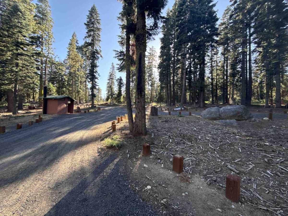
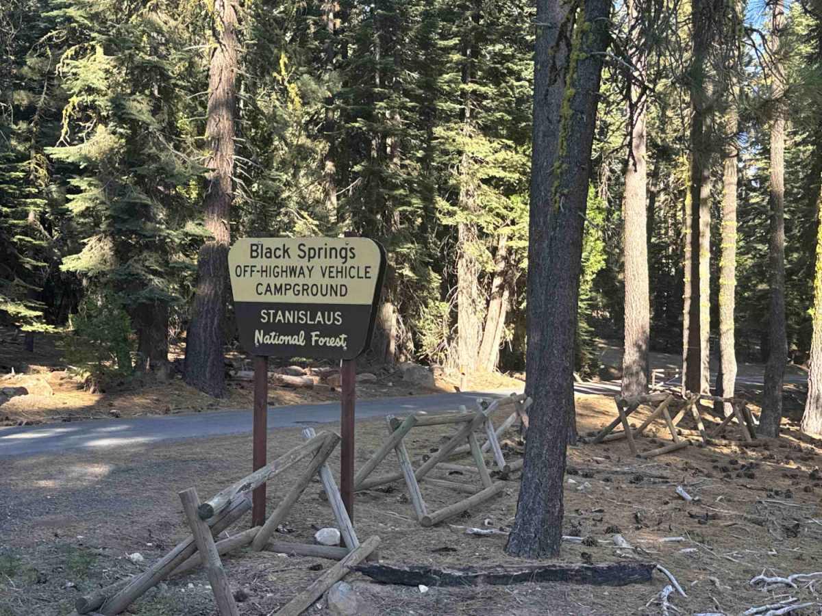
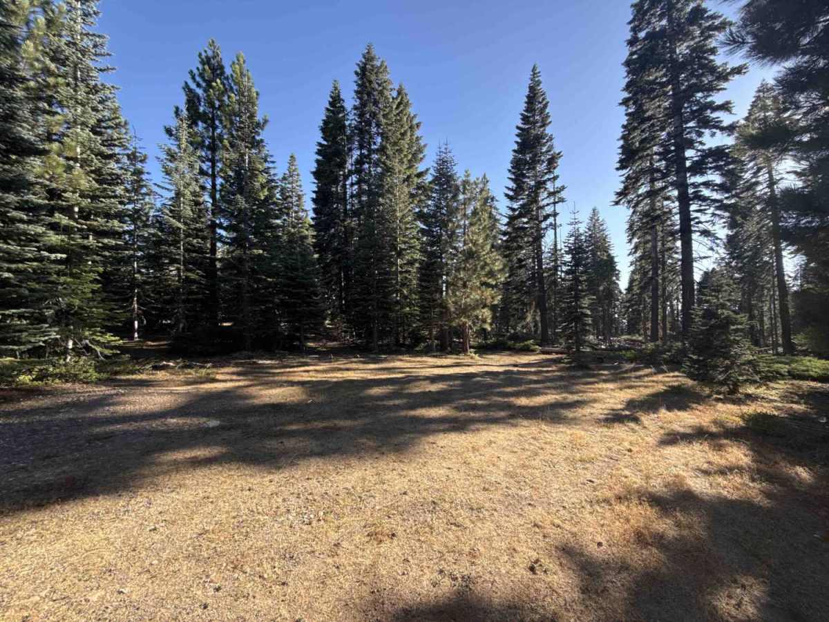
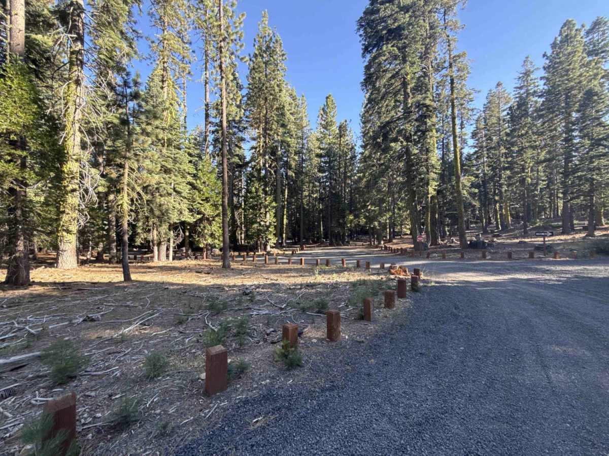
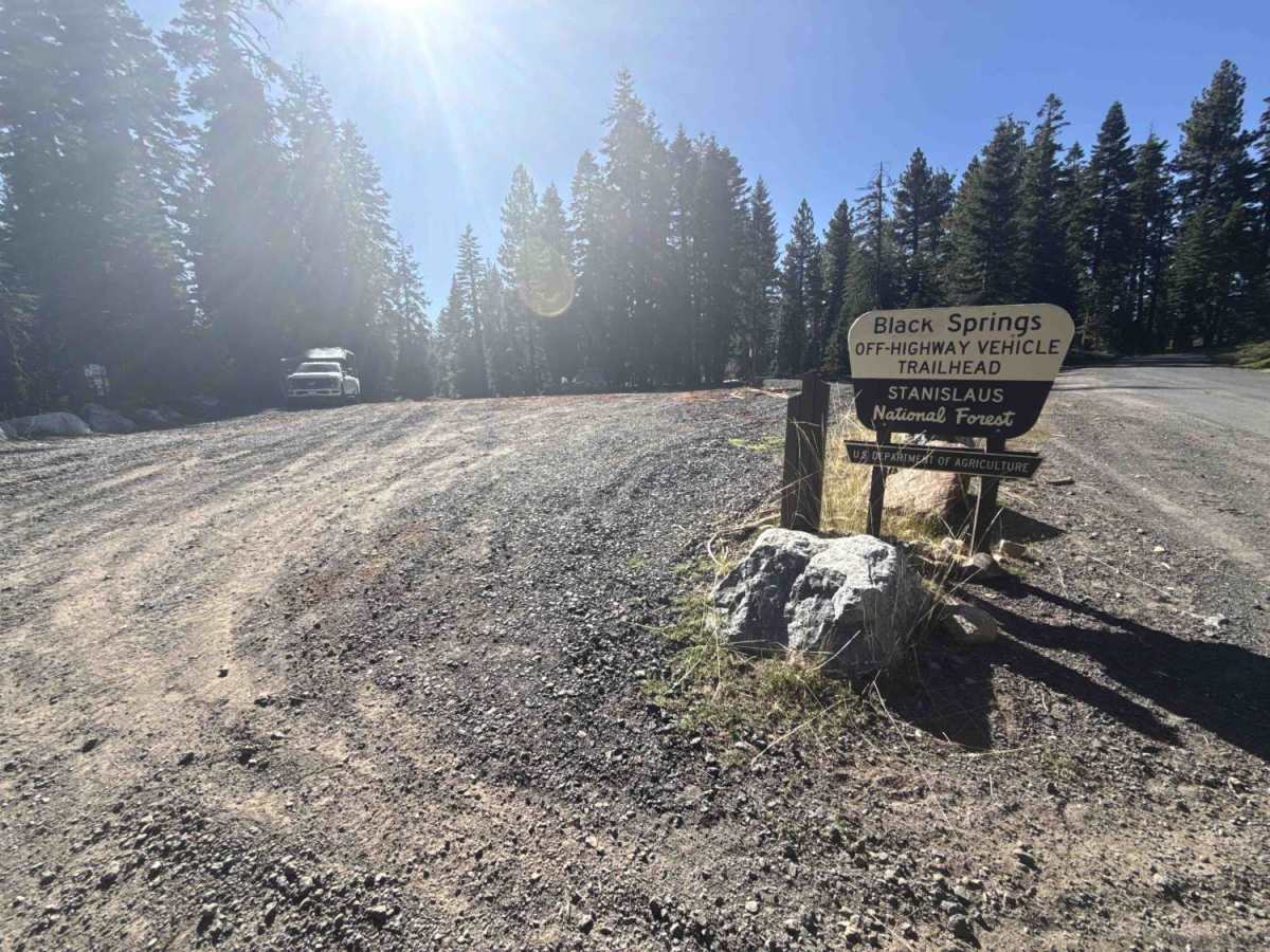
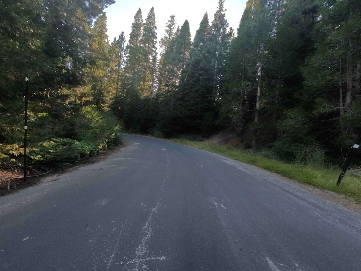
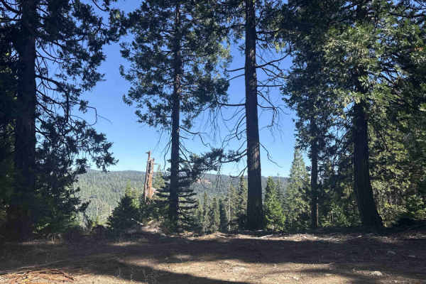
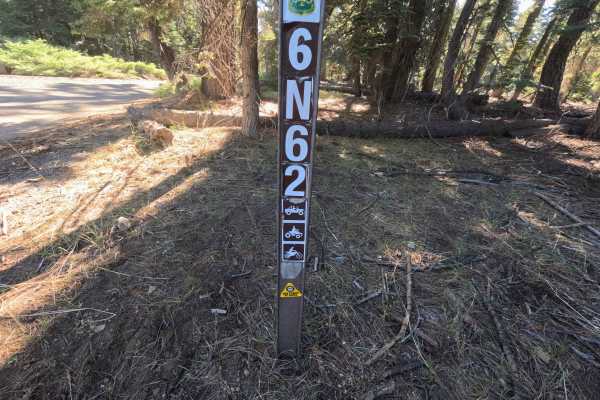
Branching directly off State Route 4, FS 7N23 serves as a major forest thoroughfare and primary connector into the backcountry of the Stanislaus National Forest. The route winds through a dense mixed-conifer woodland filled with towering ponderosa pines, fragrant incense cedars, and sunny forest clearings shaped by timber management. Beginning as a wide paved road, the corridor transitions into a single-lane asphalt track past the Black Springs Campground and motorized staging area before shifting into a broad, well-maintained two-lane graded gravel roadway. Recreationists frequently travel this essential corridor to reach developed campsites, designated OHV trailheads, dispersed camping clearings, and secondary forest routes branching deeper into the district. Offering a gentle, steady climb with ample passing room, this scenic mountain artery provides a reliable, easy drive through the high-country timber.
Difficulty
Rated 1, this route delivers a smooth and straightforward drive across both its paved and graded gravel segments. The transition from asphalt to packed gravel is seamless, featuring a wide roadbed that accommodates two-way traffic alongside gentle grade changes that remain free of deep ruts, washouts, or clearance obstacles. Note that posted signage prohibits non-highway-legal motorized vehicles past the staging area. Maintaining a moderate speed around tree-lined curves and staying alert for oncoming recreational traffic ensures a relaxed, trouble-free journey from either direction.

 Offroad