Trail Overview
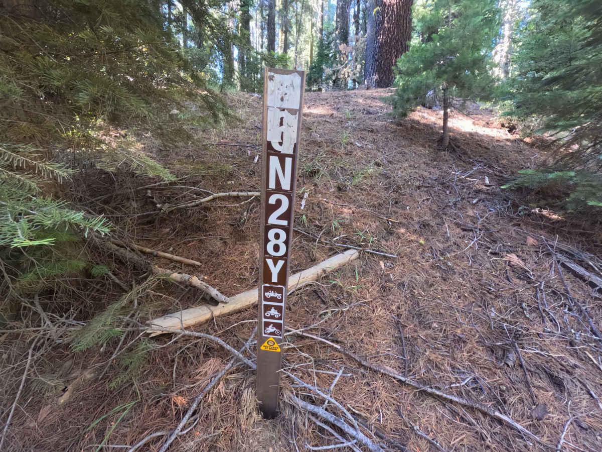
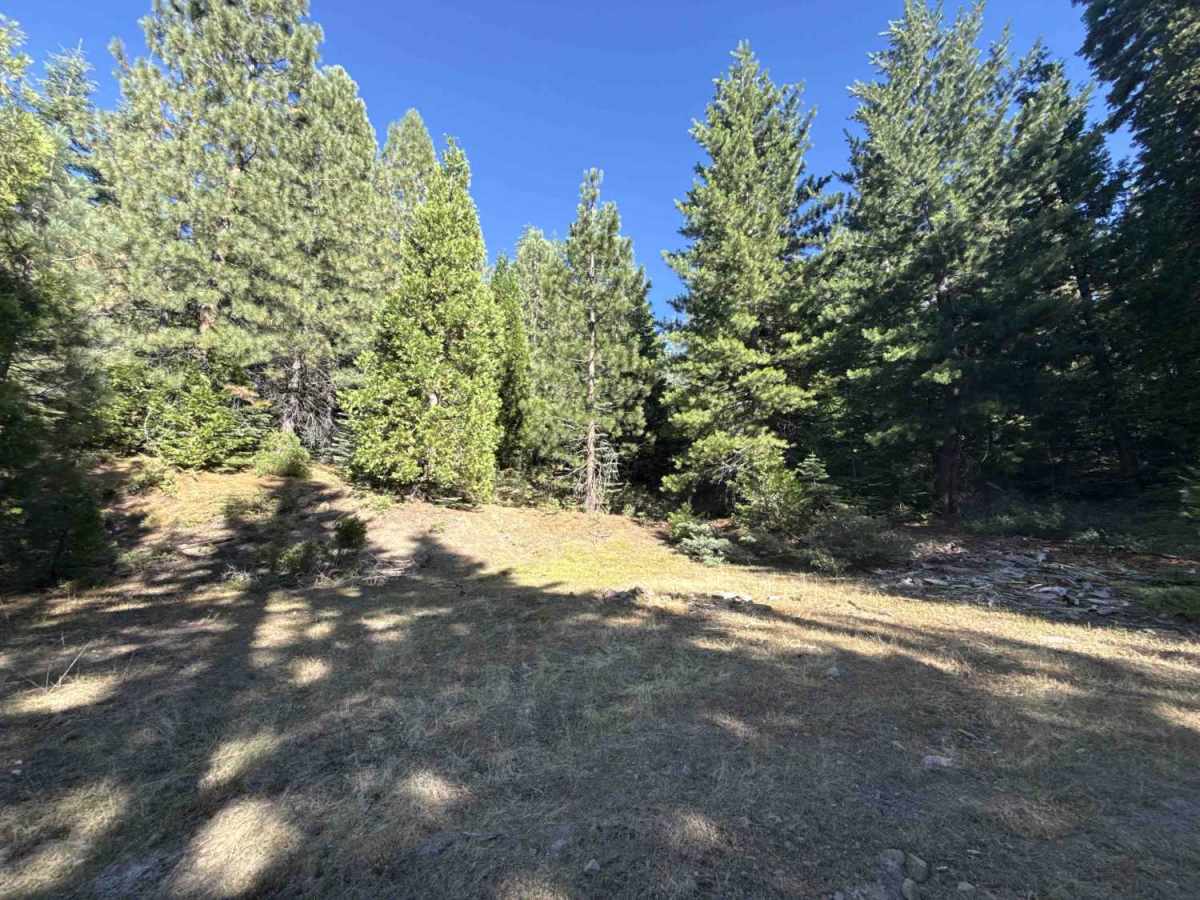
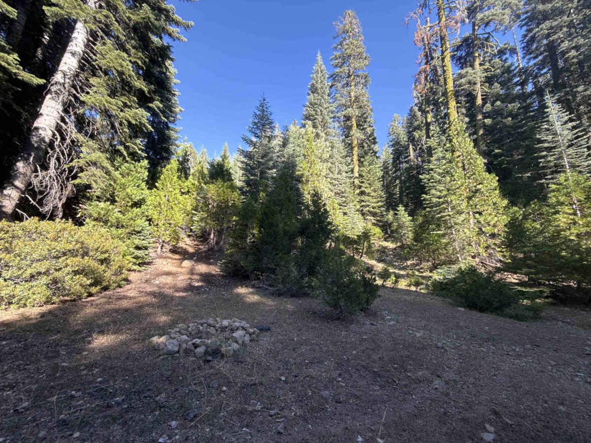
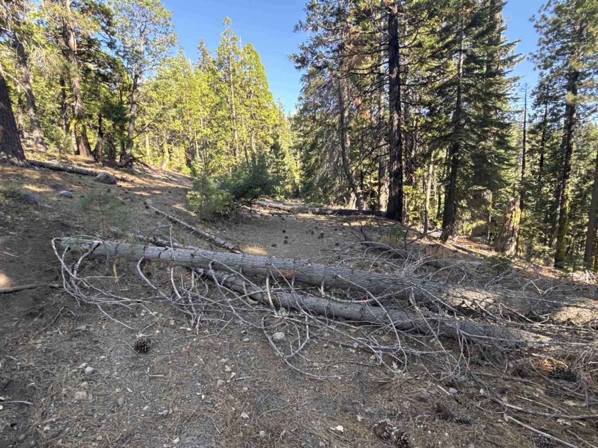
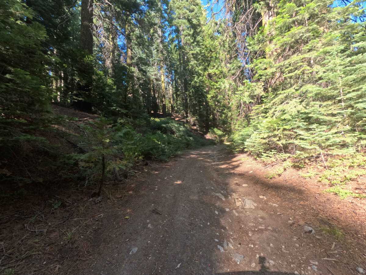
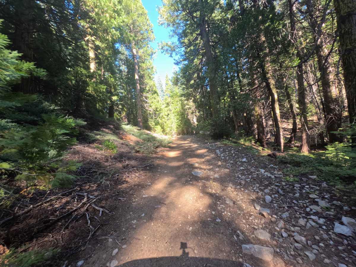
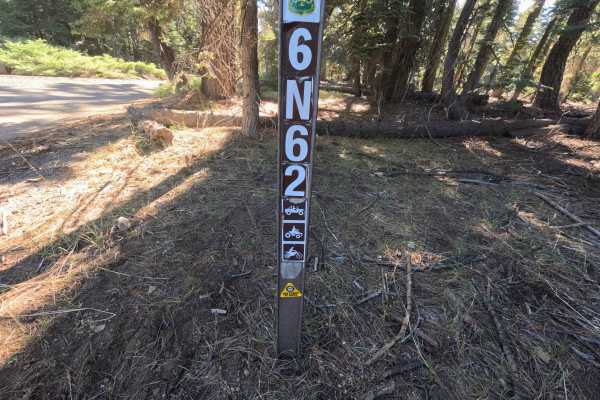
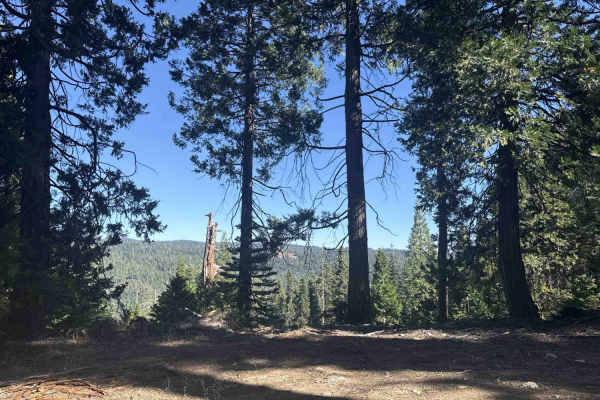
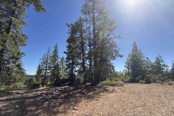
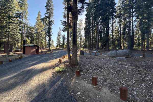
Branching off FS 6N11, FS 6N28Y is a secluded out-and-back woodland spur tucked within the Stanislaus National Forest. The corridor winds through a dense, mature mixed-conifer woodland sheltered by towering pines, firs, and vibrant undergrowth. Composed of a narrow, single-lane roadbed of hard-packed dirt and loose rock, the route carries an accessible difficulty rating of 2. Outdoor recreationists and campers primarily navigate this quiet path to access two peaceful, primitive dispersed campsites situated in secluded clearings along the way. While past trail maintenance has cleared several fallen logs, the corridor narrows significantly beyond a secondary fork where thick roadside brush crowds the track before multiple downed tree trunks completely block vehicle travel near the end.
Difficulty
Rated 2, this route offers an approachable drive across a firm dirt base scattered with loose stone and shallow surface ruts. Grades remain relatively gentle, but drivers must contend with encroaching shrubs and low-hanging branches that create unavoidable paint contact along the narrower upper section. The trail terminates where four large fallen trees obstruct the travel lane in their entirety. Maintaining a steady pace, watching for overhead foliage, and using an earlier campsite clearing to execute a multi-point turnaround ensures a smooth and safe trip.