Trail Overview
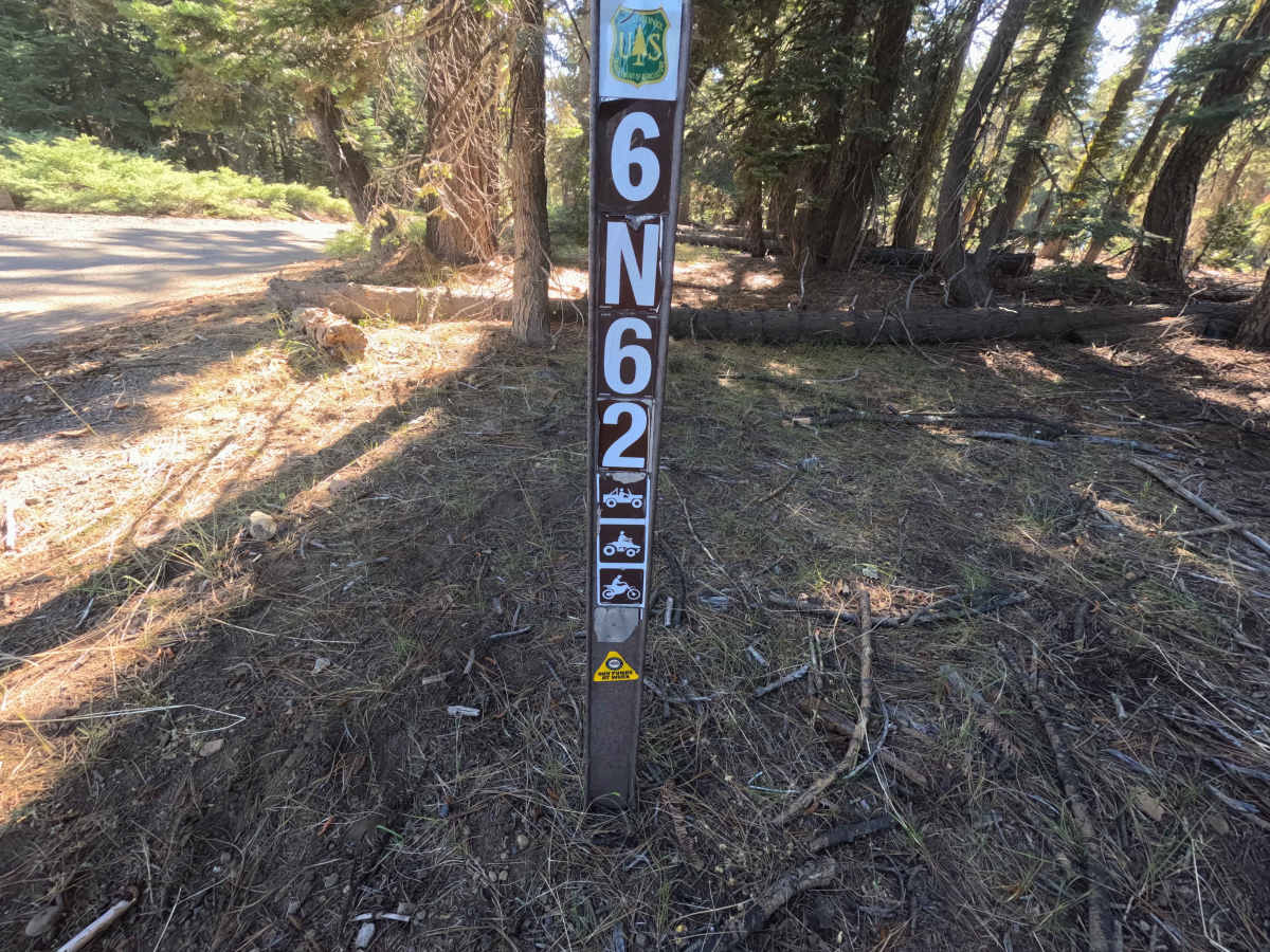
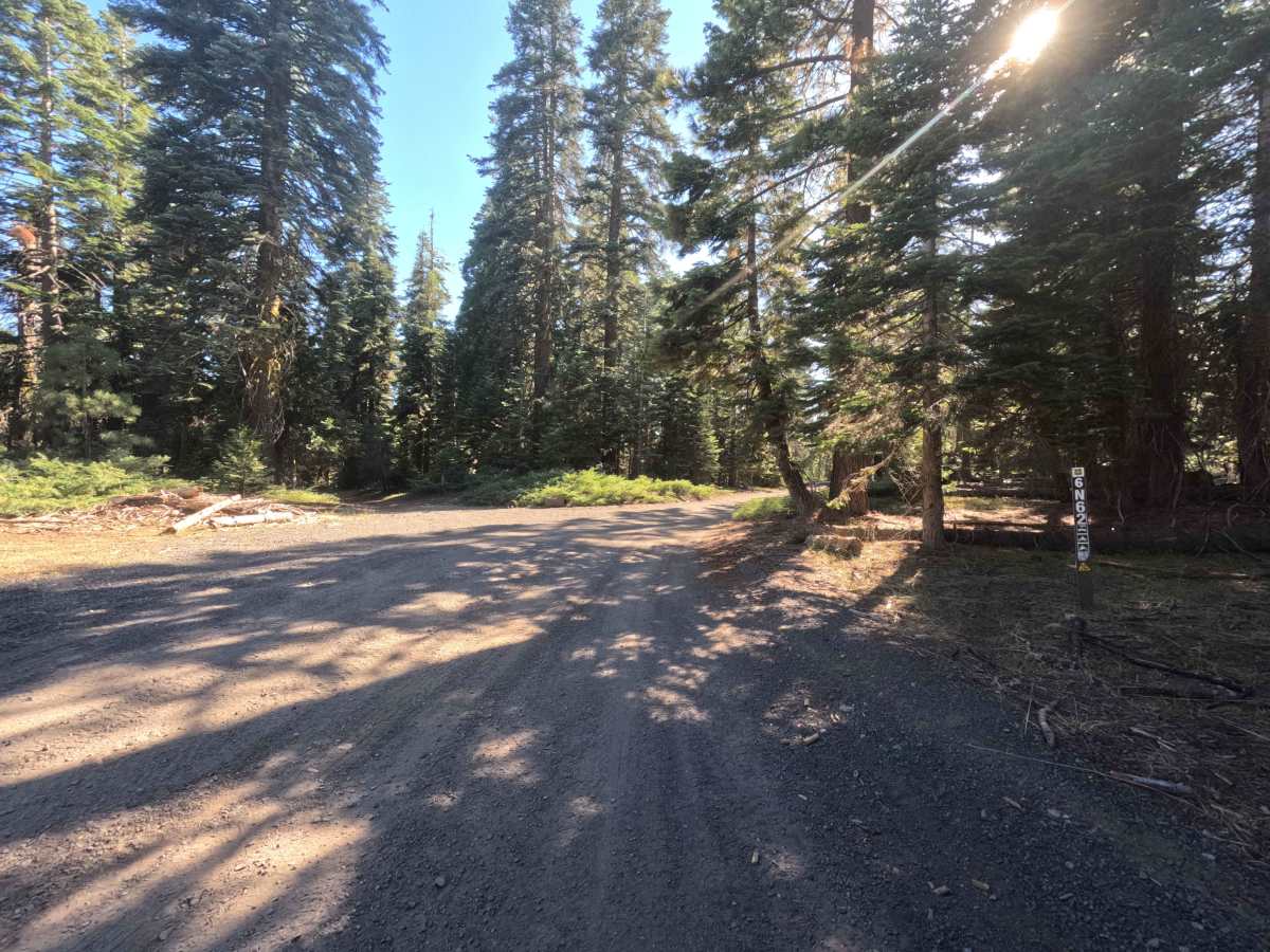
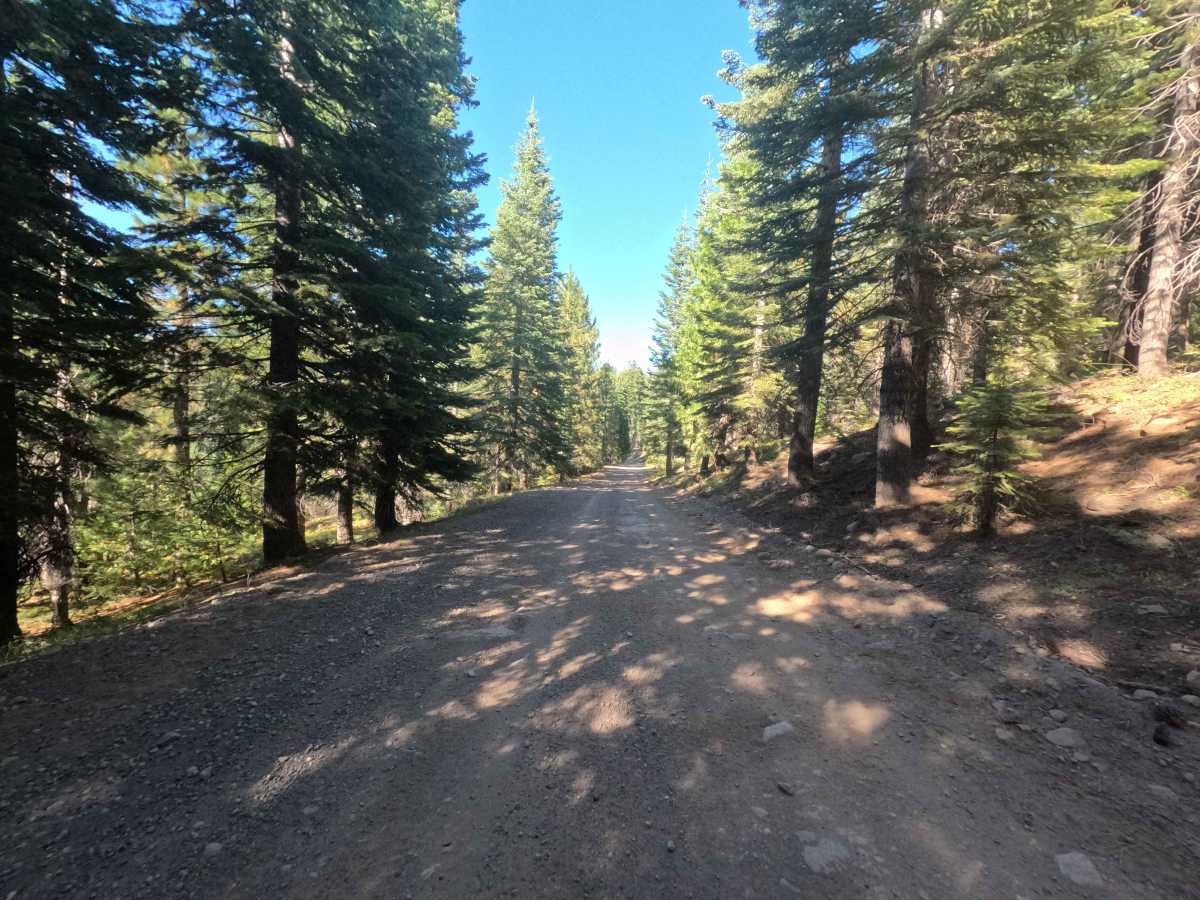
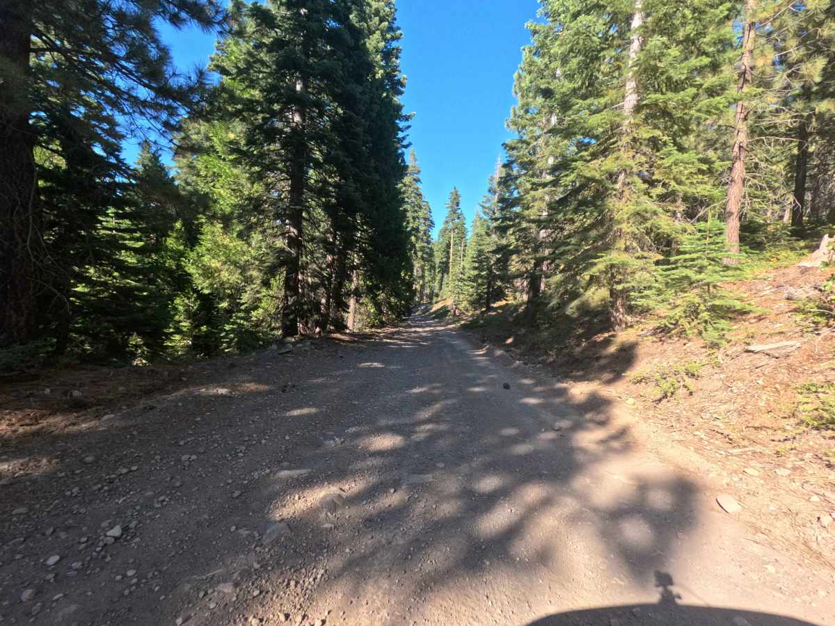
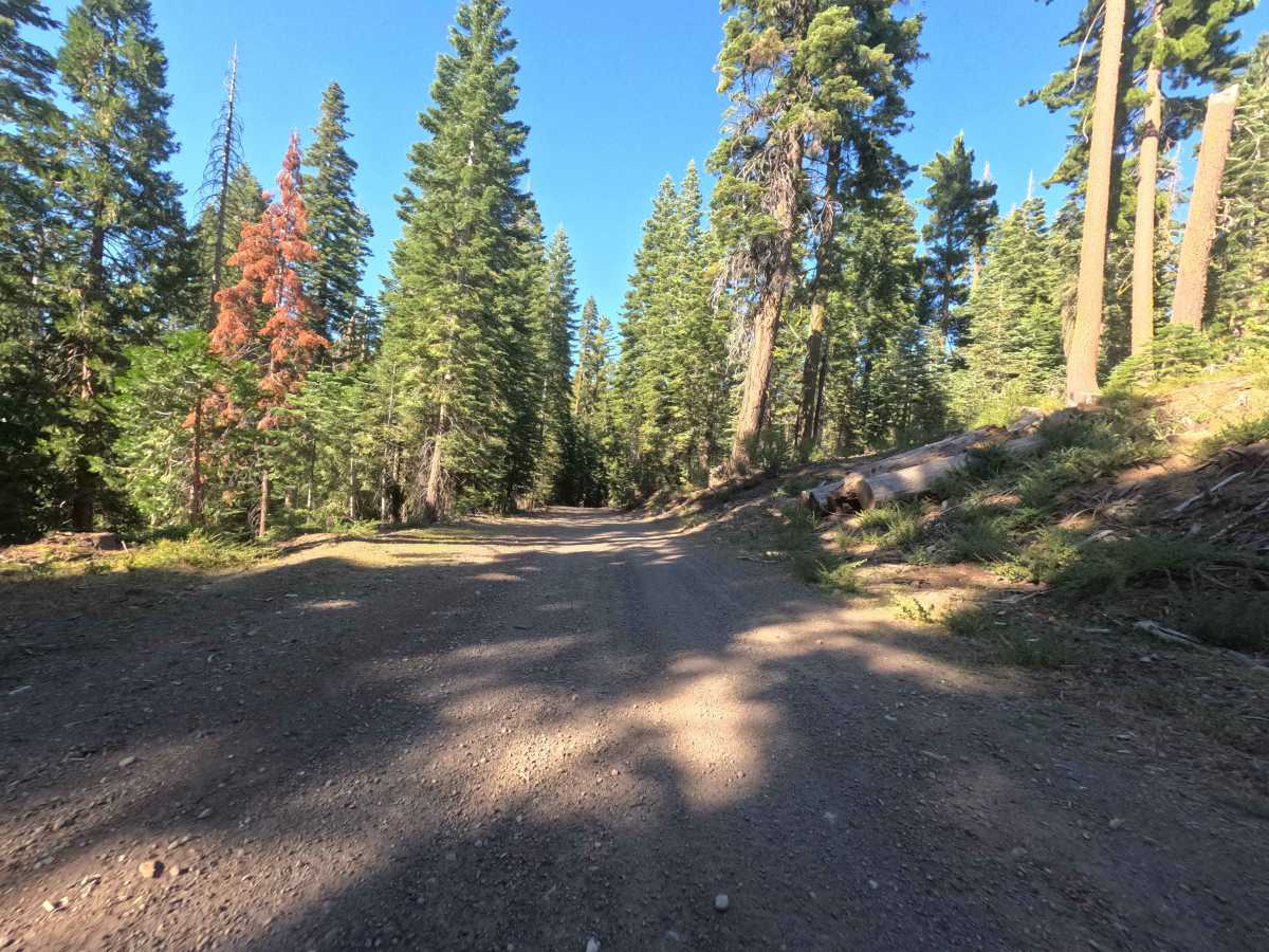
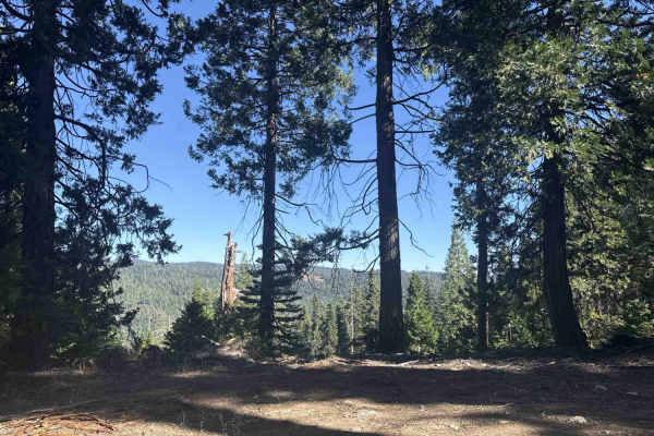
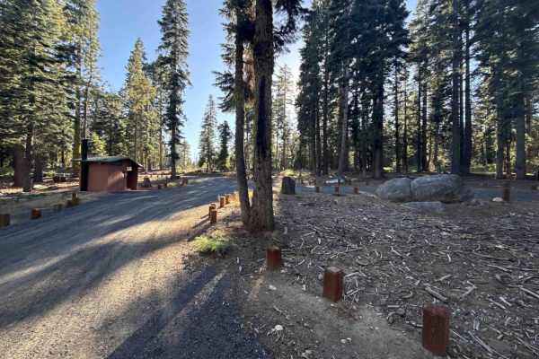
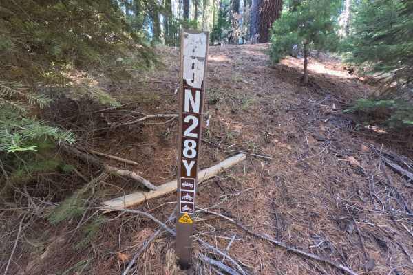
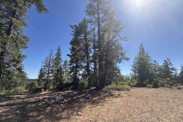
Branching directly from the Black Springs off- highway vehicle staging area, Forest Service Road 6N62 serves as a smooth connector route threading westward through the Stanislaus National Forest. Spanning 1.3 miles, the track navigates beneath a dense, shady canopy of mature pines and firs, passing scattered felled timber from active forestry management and thinning operations. The road functions primarily as a utilitarian throughput corridor, linking the primary staging facility to secondary logging spurs and branching motorized trails deeper to the west. While lacking established dispersed campsites, the corridor provides a straightforward, wide single-lane thoroughfare with scenic wooded surroundings.
Difficulty
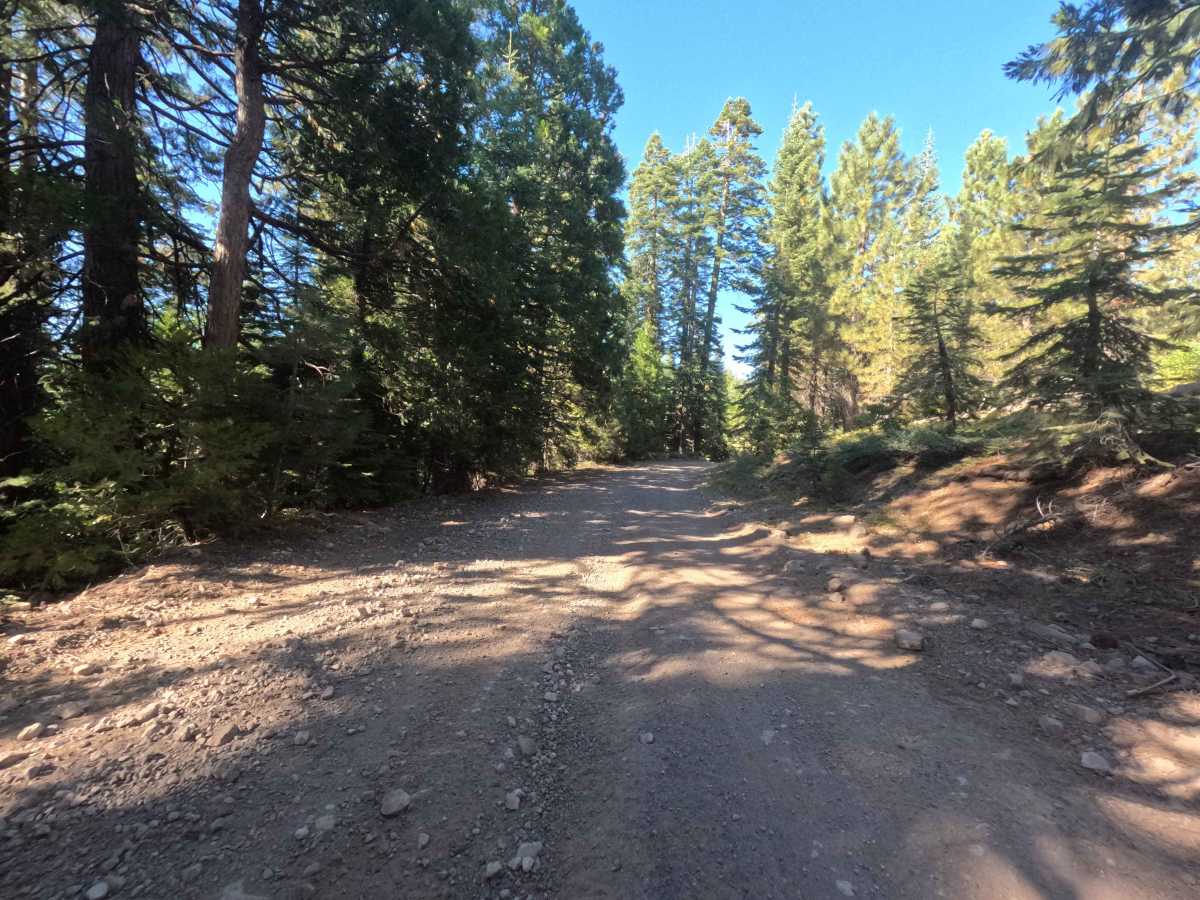
Rated 1 of 10, this trail is exceptionally approachable with zero technical complexity. The driving surface consists of hard-packed native soil and light, graded gravel with mild slopes and consistent footing from start to finish. There are no rock ledges, deep washouts, rutted sections, or clearance concerns under dry summer conditions.