Trail Overview
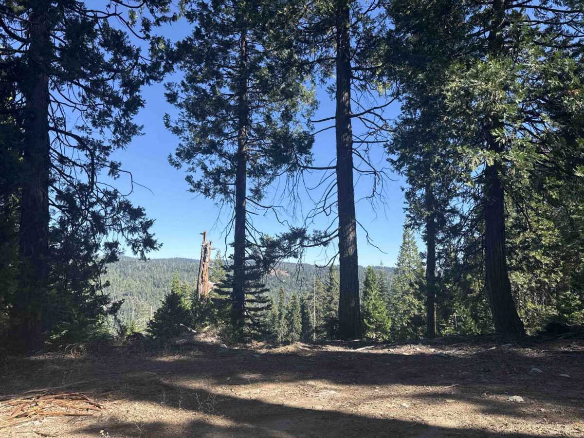
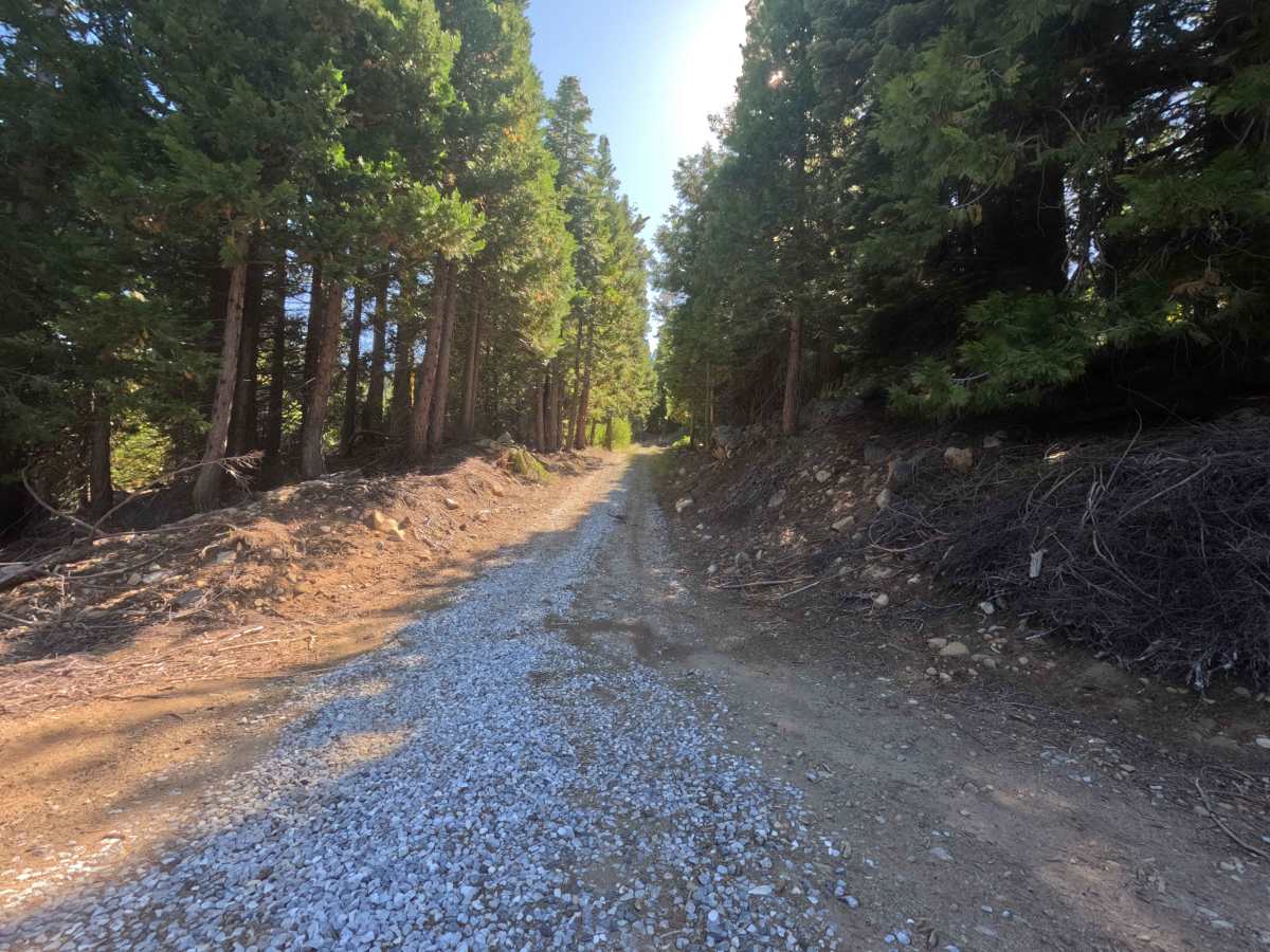
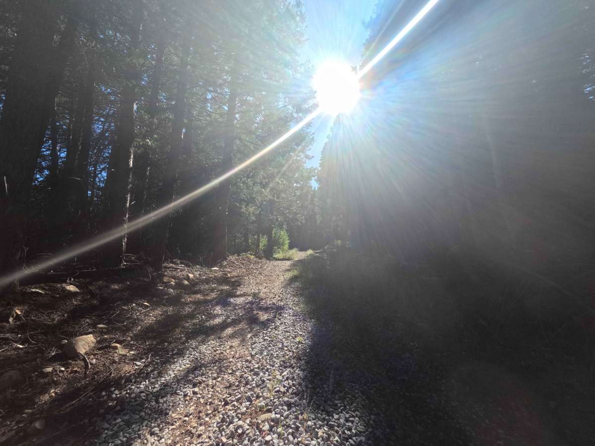
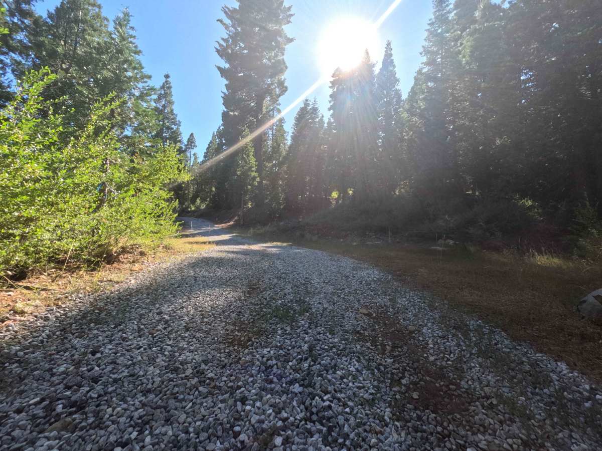
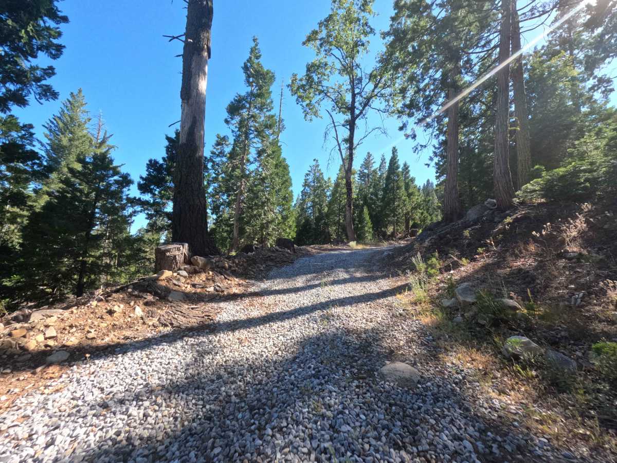
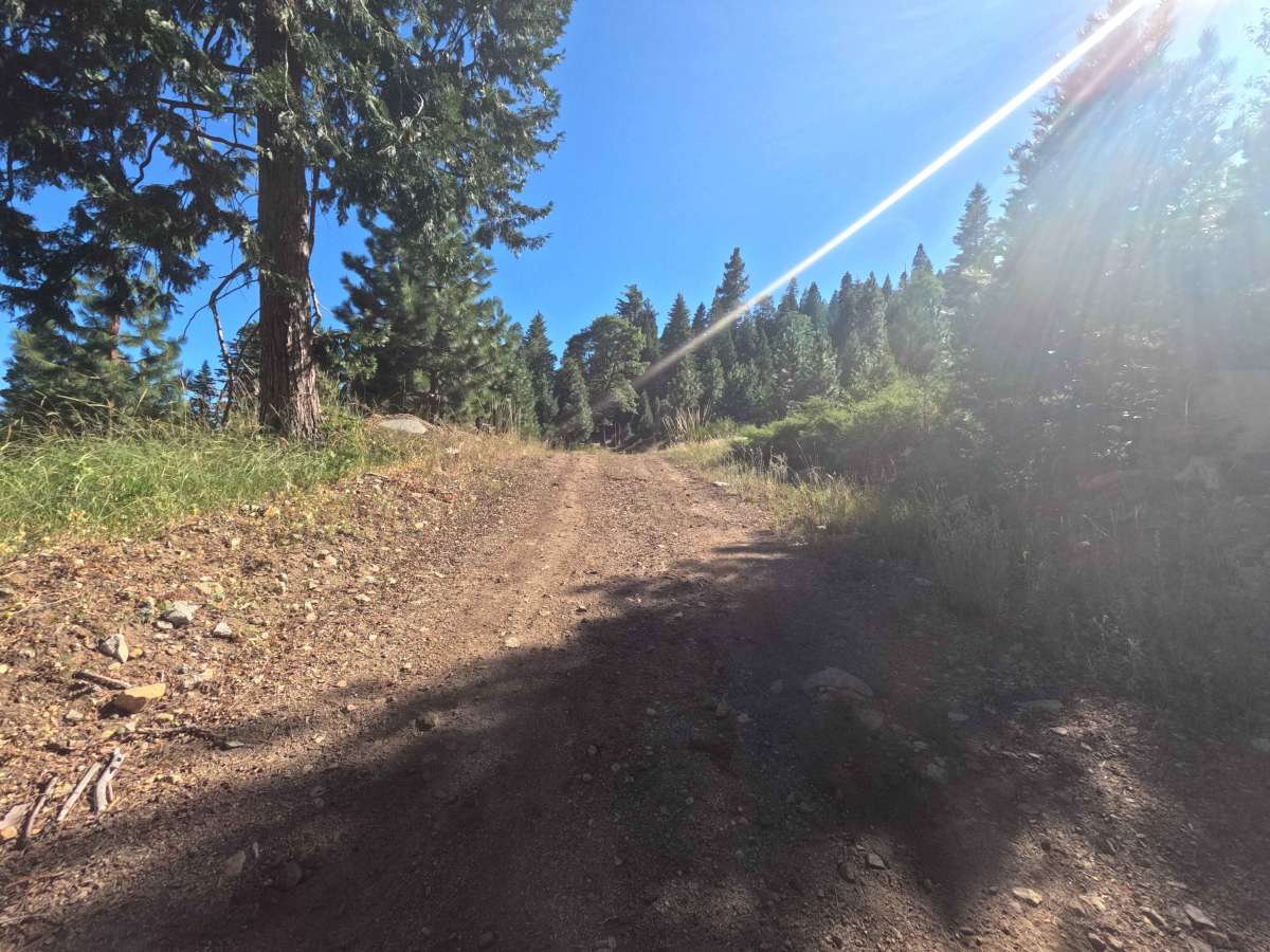
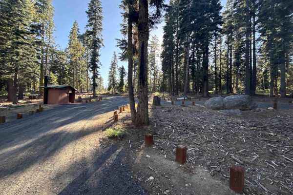
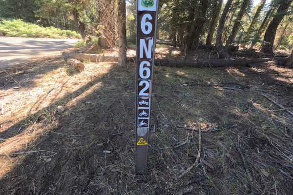
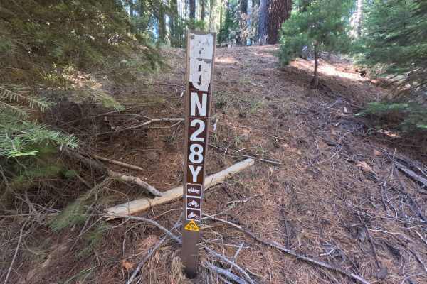
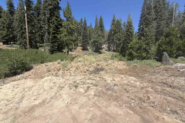
Forest Service Road 6N81Y branches directly off Highway 4, serving as a connector route that spans both sides of the highway corridor and provides throughput toward neighboring Sierra Pacific timber tracts. Set within the lush, mature mixed-conifer canopy of the Stanislaus National Forest, the road winds beneath tall stands of shaded pines, firs, and incense cedars. The single-lane road is composed of a smooth, well-graded base of hard-packed earth, loose pine needles, and light gravel throughout its 1.2-mile distance. The eastern segment is popular for dispersed camping, featuring an established clearing that offers open views across the neighboring ridgelines. West of the highway, the corridor narrows slightly as it meanders deeper into dense timber, making it a peaceful byway for quiet forest exploration, scenic viewpoints, or reaching backcountry trail networks.
Difficulty
Rated Difficulty 1, this road presents a straightforward and flat drive with virtually no technical obstacles. The surface consists of stable, packed dirt with intermittent patches of fine crushed gravel and fallen pine needles. Grade changes are very gradual, accompanied only by shallow surface dips and light washboarding that require standard driving care. The route remains easily navigable in dry conditions, requiring only basic speed management and standard awareness when traversing the Highway 4 crossing.