Trail Overview
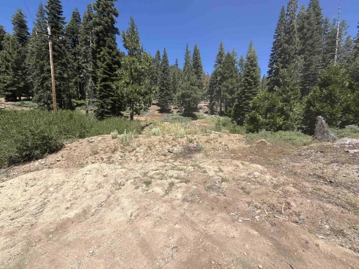
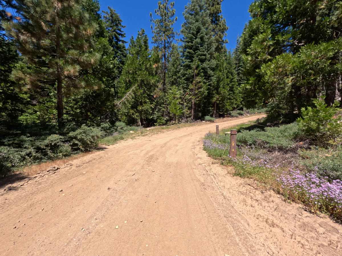
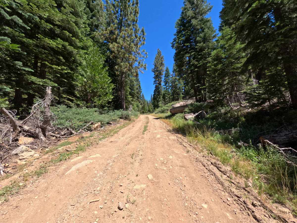
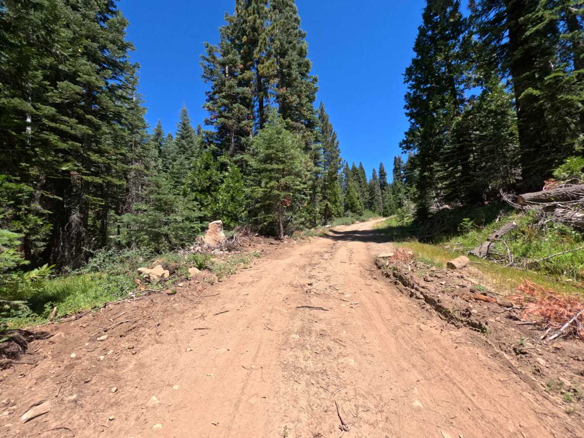
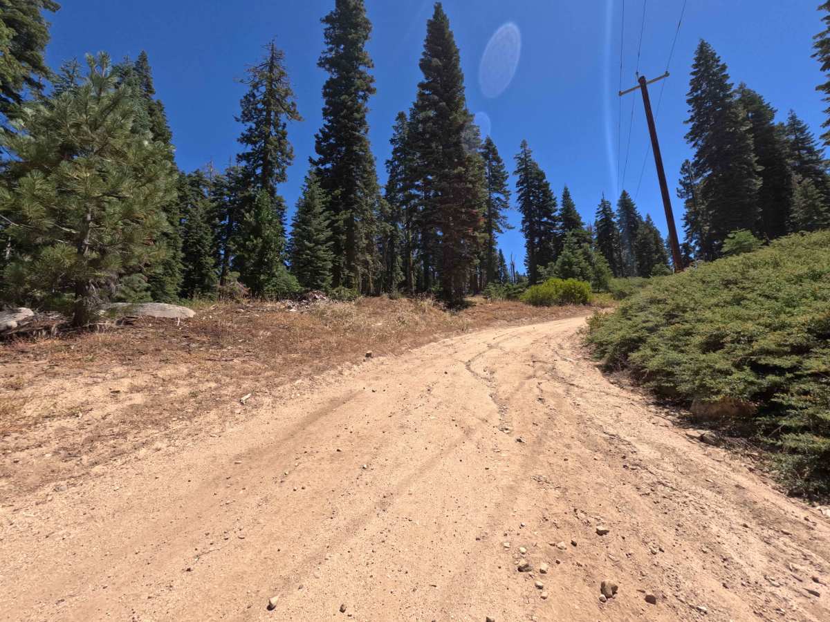
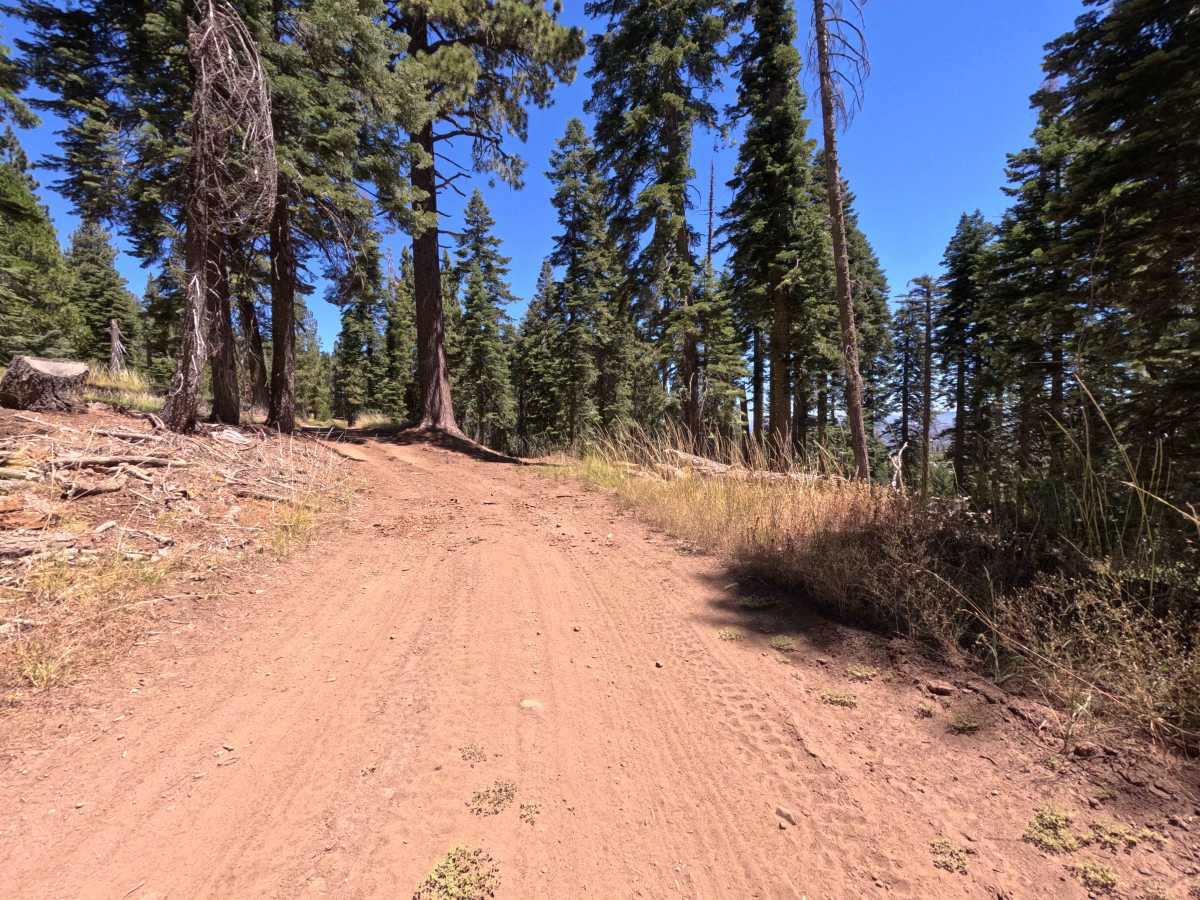
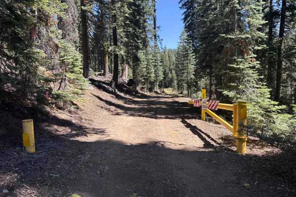
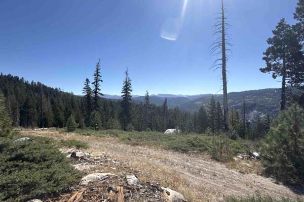
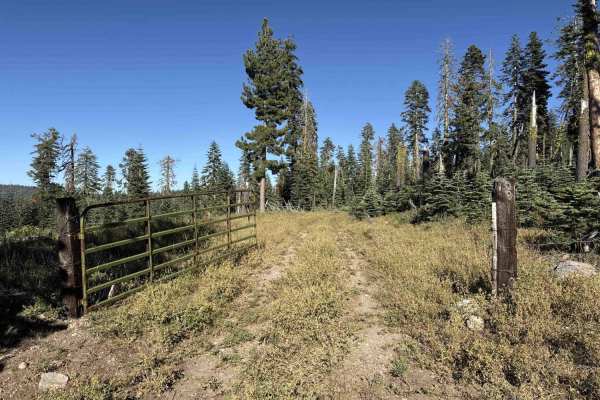
Originating directly off the northern shoulder of Highway 4, Forest Service Road 6N78 is an out-and-back mountain spur that wanders through the high-country woodland of Stanislaus National Forest. The route traverses a mixed conifer timberline populated by stately pines, firs, and open harvest clearings shaped by past forestry management. Outdoor travelers utilize this short corridor for quick, secluded forest access away from highway traffic, dispersed vehicle staging, and quiet mountain viewpoints. The single-lane native earth path follows a utility line corridor, beginning with a steady climb across packed dirt before leveling out through shaded timber stands. While a steep, informal track branches upward near the terminus toward adjacent private land, the established Forest Service route concludes comfortably at the private property boundary where ample space exists to turn around.
Difficulty
Rated a 2, this route consists of a well-defined packed dirt single-track with mild surface textures throughout. Drivers will encounter a sustained initial ascent featuring shallow erosion ruts, light loose rock, and dry pine debris. Maintaining a steady pace and straddling minor channel ruts ensures smooth passage without underbody contact or loss of traction.