Trail Overview
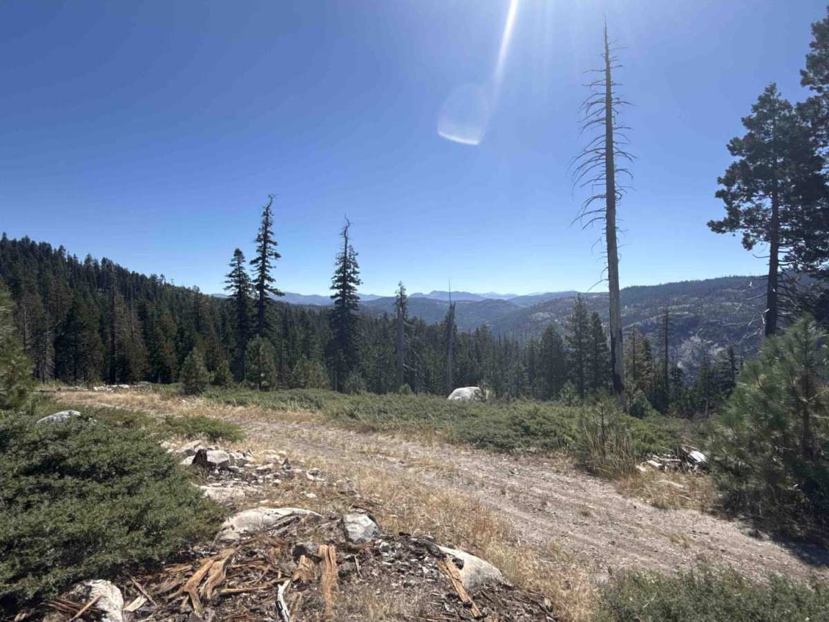
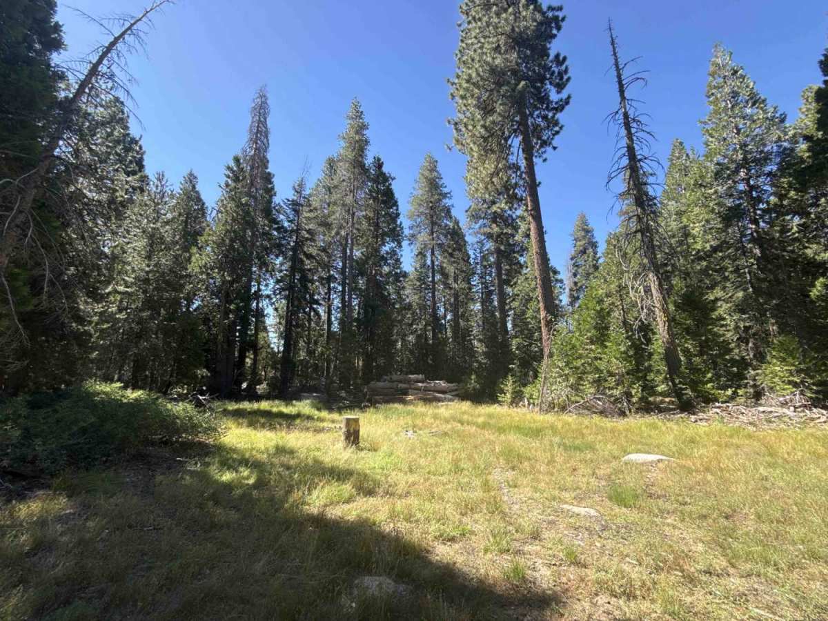
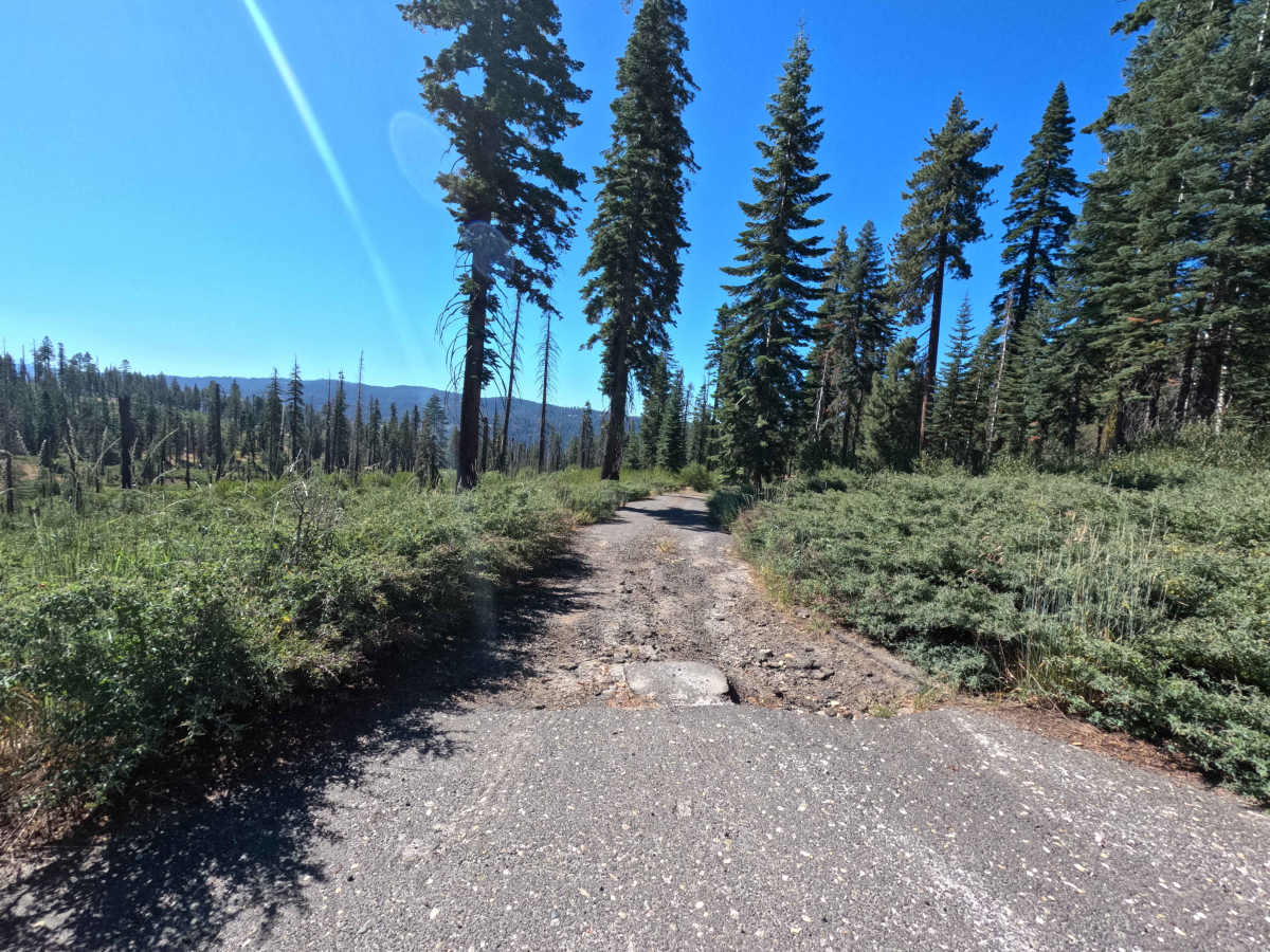
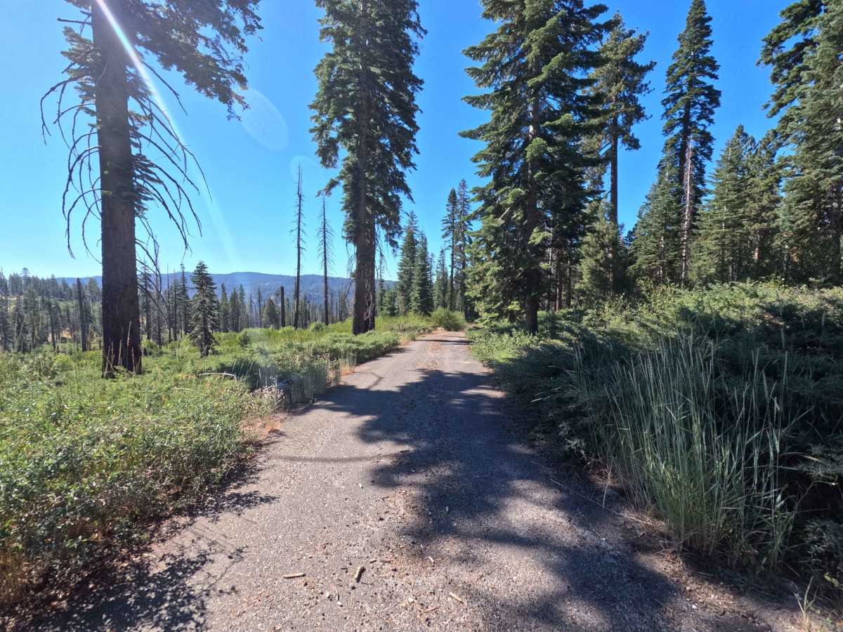
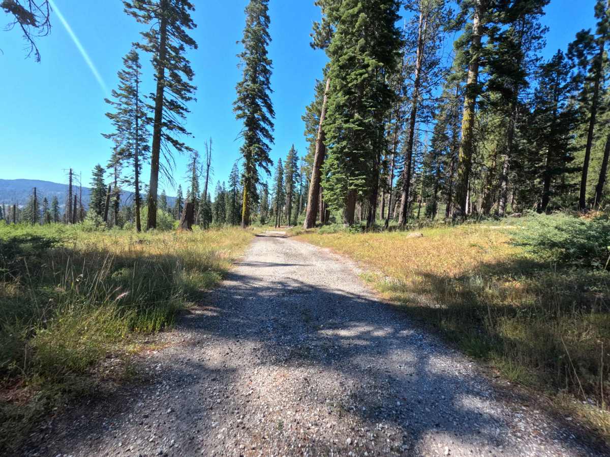
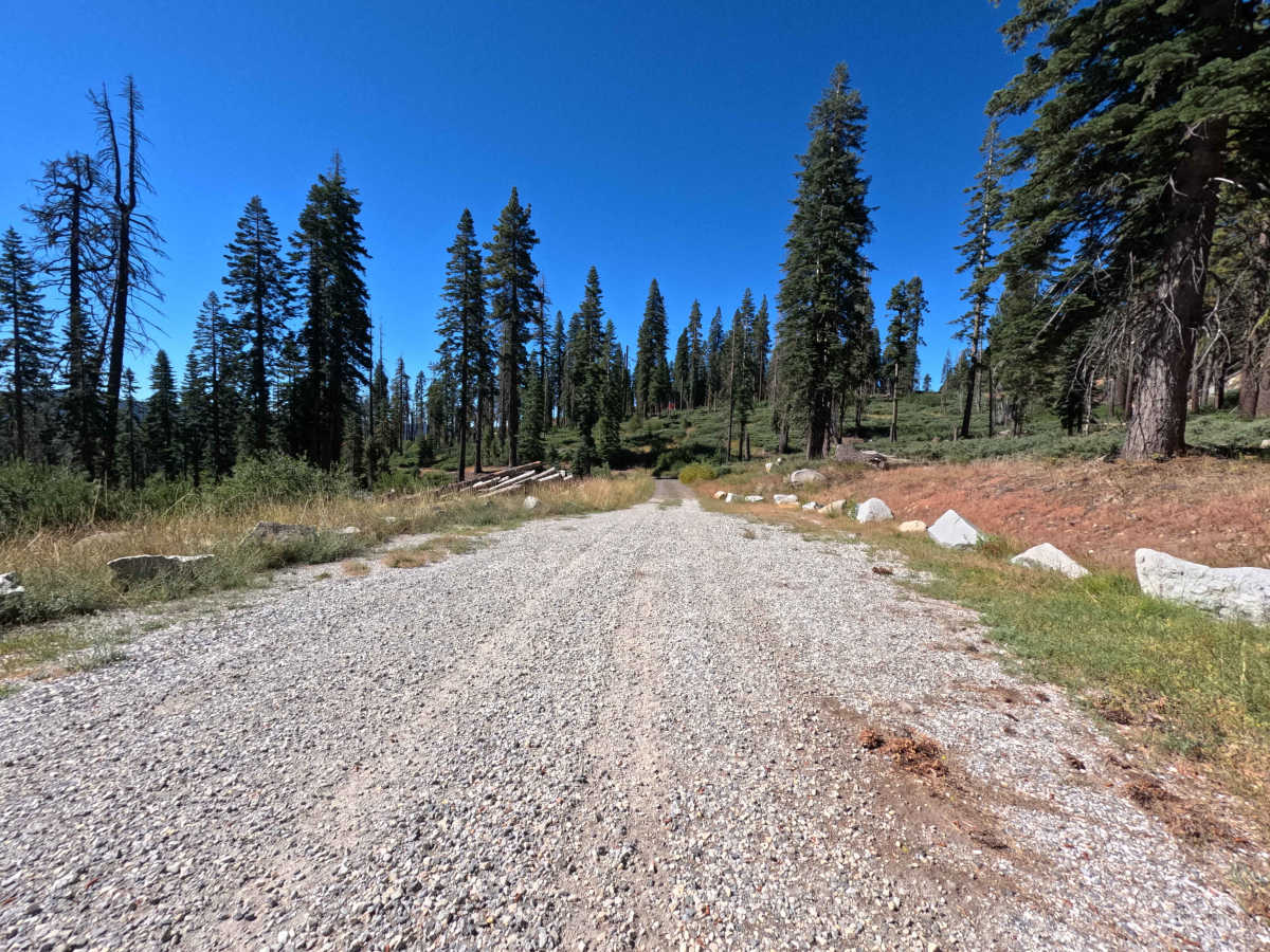
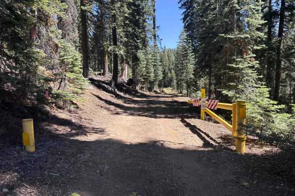
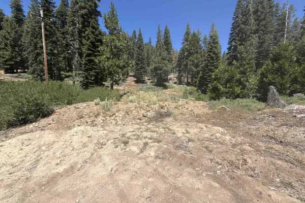
Branching directly off California State Route 4 without posted signage, Forest Service Road 6N79 serves as a scenic, out-and-back forest spur leading into the quiet backcountry of the Stanislaus National Forest. The route begins with a gentle descent across an open, airy landscape shaped by past wildfire and selective forestry clearing, before diving beneath a dense, tranquil canopy of towering white firs, ponderosa pines, and verdant mountain shrubs. Composed of a single-lane native dirt tread sprinkled with loose surface stones, the trail carries an accessible difficulty rating of 2. Outdoor lovers, dispersed campers, and day hikers travel this peaceful route to take in expansive views of distant Sierra mountain peaks and reach the idyllic meadow clearing at the road's terminus. Featuring a stone fire ring, the meadow at the end serves as an ideal secluded campsite and launchpad for woodland exploration and bouldering.
Difficulty
Rated 2 out of 10, this trail provides an easy and predictable mountain descent over a firm earthen roadbed. Drivers will encounter intermittent patches of loose gravel, small cobbles, and shallow surface ruts that require only modest speed control and attentive line choice. Roadside brush is light, presenting minimal risk of vehicle contact as the track drops into the shaded valley. Maintaining steady momentum down the gentle slope and using the broad grassy meadow clearing at the dead-end to reverse direction ensures an uncomplicated, stress-free journey.