Trail Overview
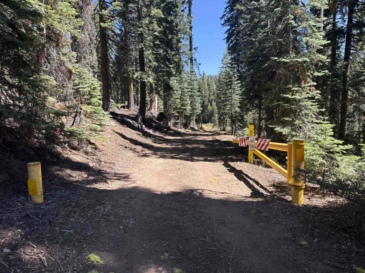
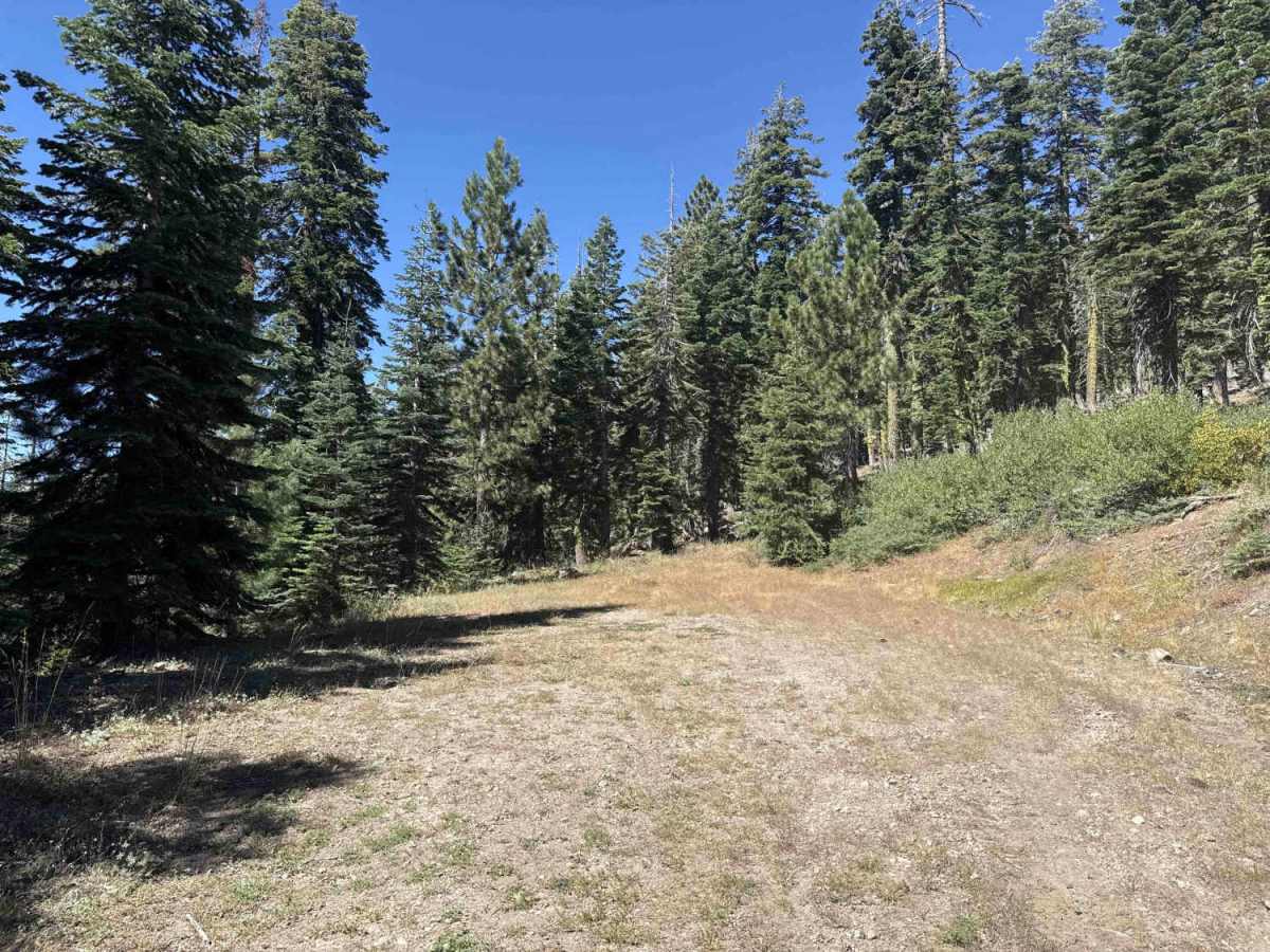
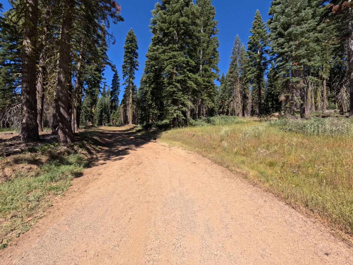
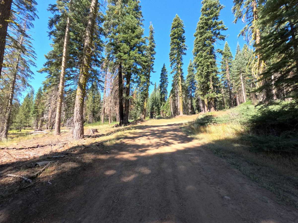
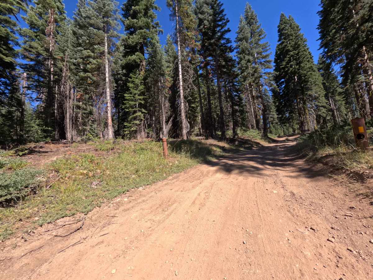
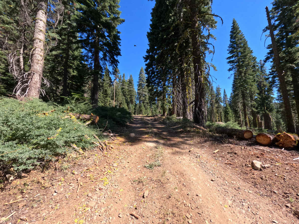
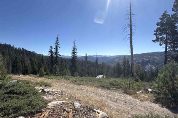
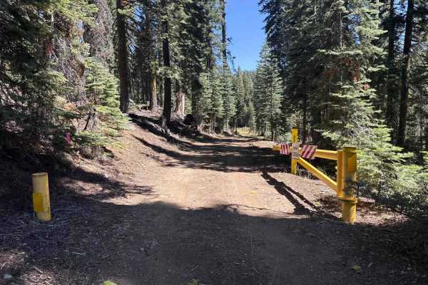
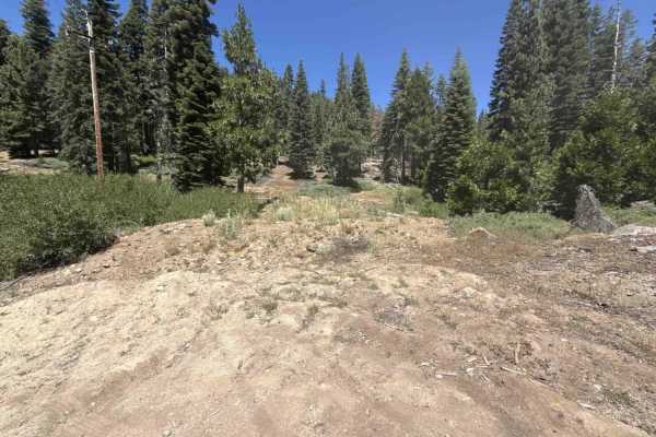
Branching off the northern side of California State Route 4 without posted marker signage, Forest Service Road 6N77 is a brief, easy out-and-back woodland spur within the Stanislaus National Forest. The trail ascends gently through a dense mixed-conifer canopy of tall firs and mature pines, flanked by low mountain brush, scattered forest litter, and small clearings shaped by past timber management and controlled burns. Composed of a single-lane packed dirt and loose gravel treadway, the road holds a beginner-friendly difficulty rating of 1. Forest travelers and weekend explorers utilize this quiet track for a quick scenic detour off the highway and to reach a modest dispersed camping clearing overlooking the timbered basin near Ganns Meadow. While past blowdowns have been cleanly sawed back to provide ample driving clearance, the maintained route concludes at a secluded dirt landing suitable for camping and turning around.
Difficulty
Rated 1 out of 10, this spur presents an approachable, non-technical ascent over a firm natural dirt and gravel base. The roadbed features mild, steady elevation gain with only superficial surface ruts, minor dips, and scattered small twigs from surrounding timber. Past deadfall has been thoroughly cleared back from the corridor, leaving plenty of lateral clearance for standard vehicle widths. Maintaining a gentle, steady pace up the incline and using the flat earthen clearing at the route's terminus to execute a clean turnaround ensures a relaxed and hassle-free excursion.