Trail Overview
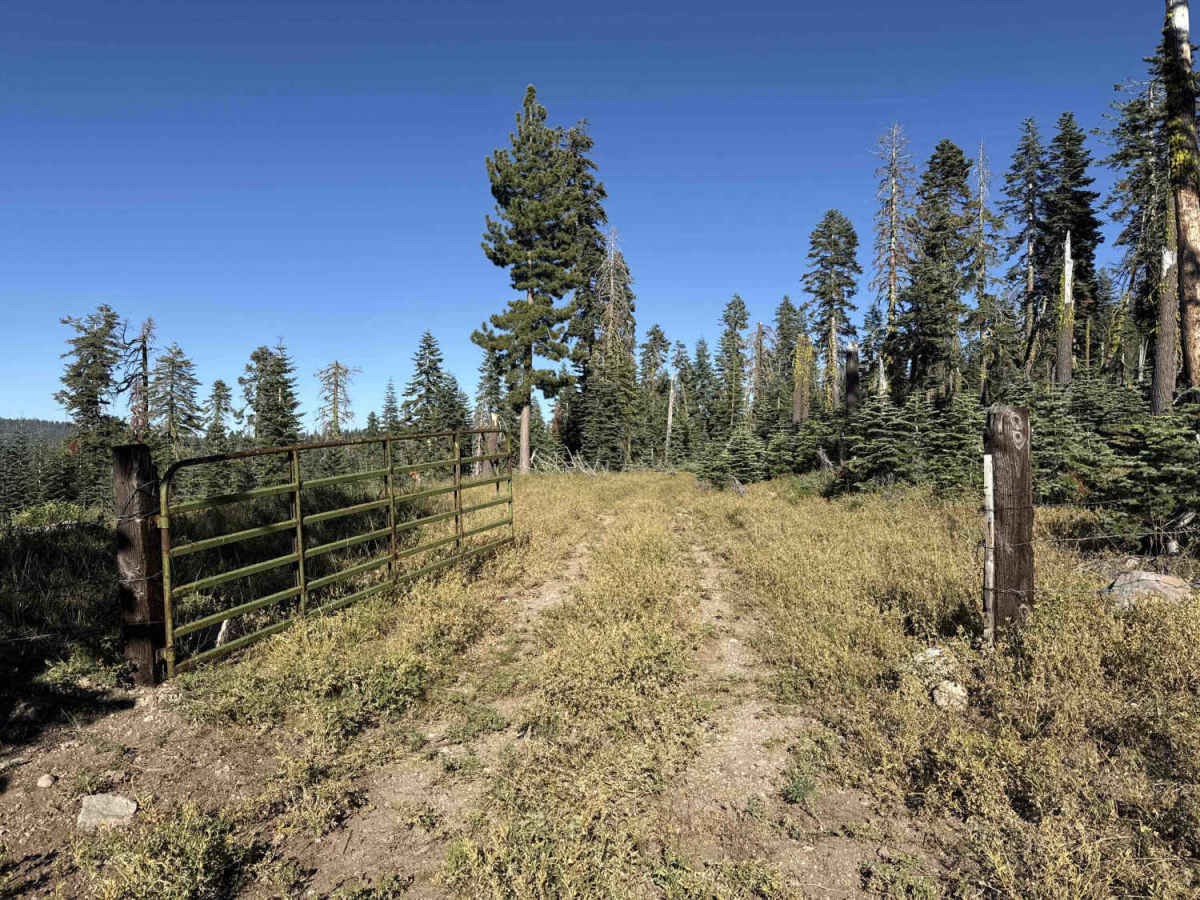
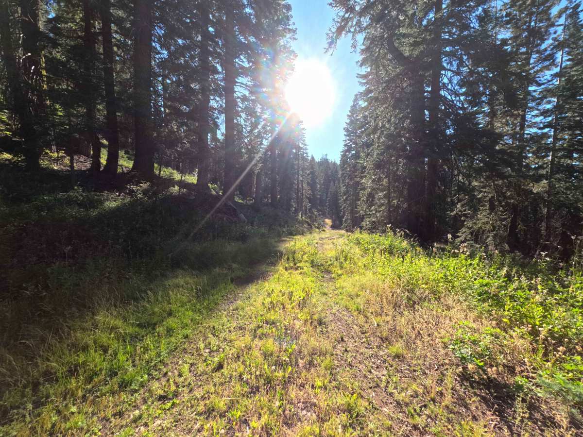
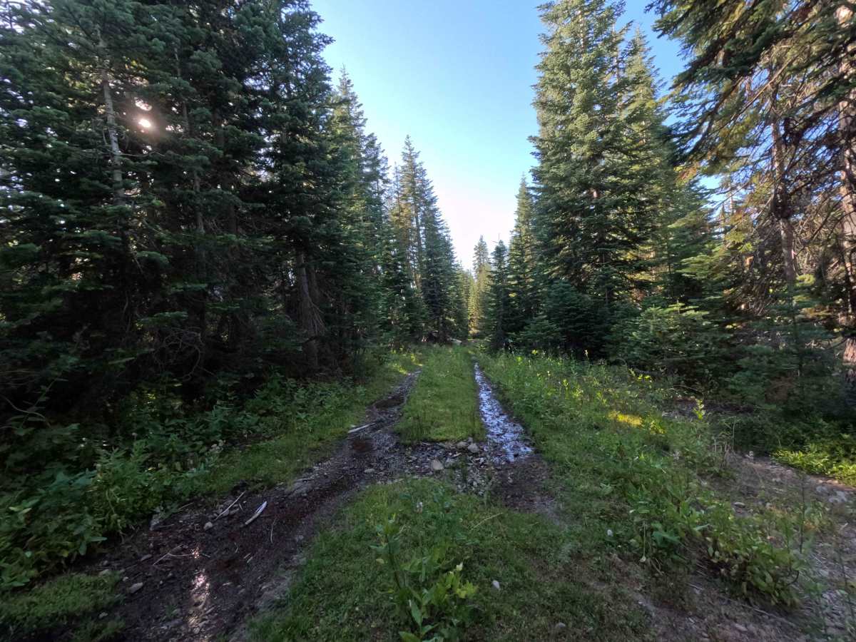
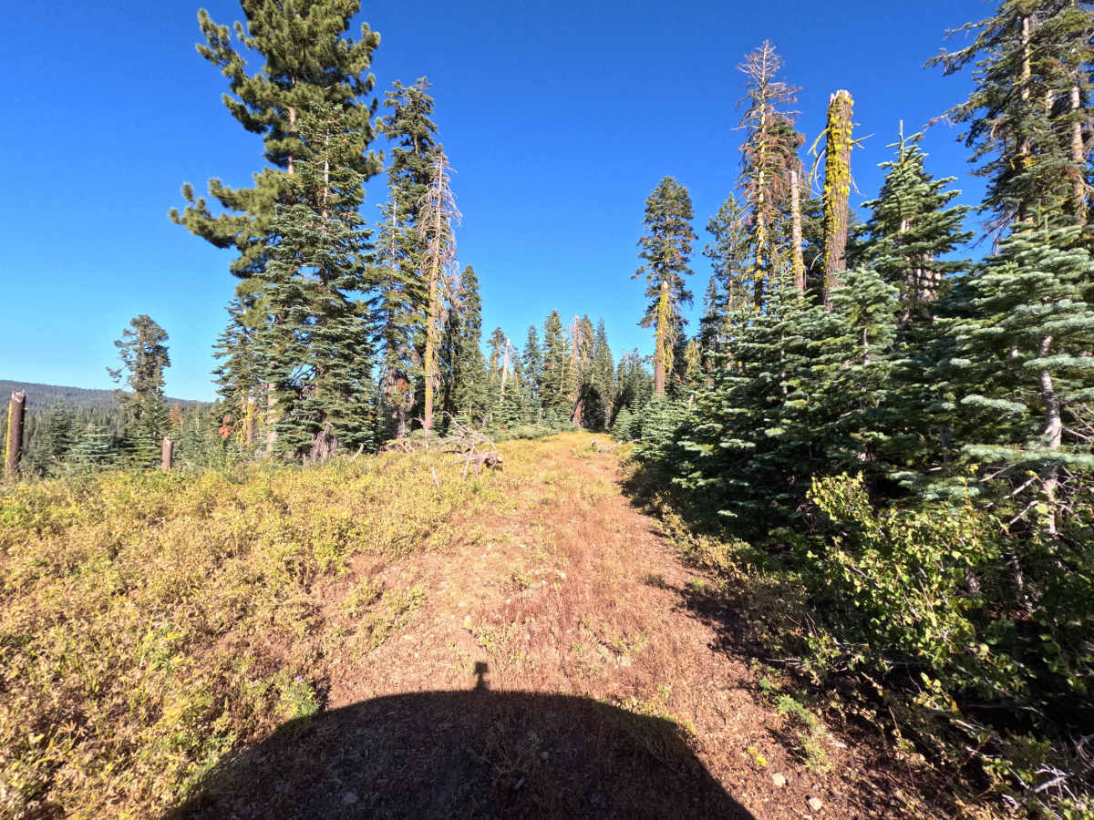
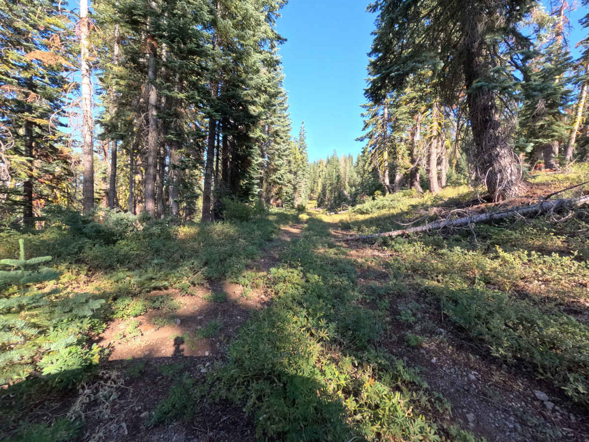
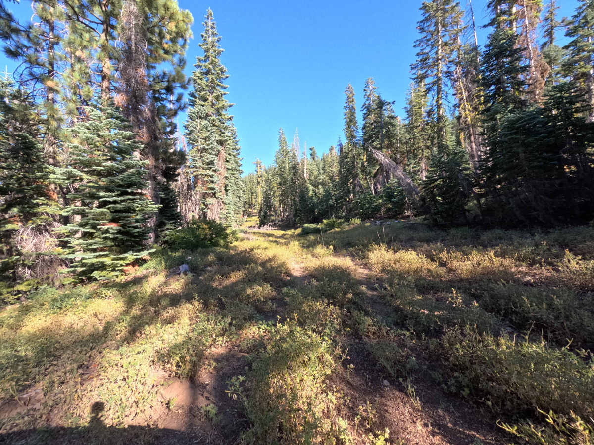
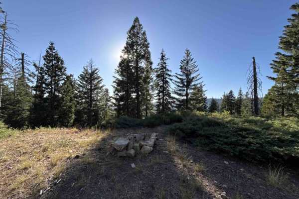
Forest Service Road 7N66 is an adventurous, lesser-traveled loop winding through the Stanislaus National Forest. The track traverses a dense, mature mixed-conifer woodland filled with towering firs, sturdy pines, and an abundant understory of mountain shrubs and native grasses. Consisting of a narrow, primitive single-lane path of native dirt and loose rock overgrown with heavy vegetation, the trail carries an engaging difficulty rating of 3. Backcountry motorists explore this secluded loop for a quiet off-grid excursion and scenic, tree-framed vistas overlooking adjacent mountain ridges. While natural deadfall and thick foliage border the corridor, past trail clearing allows standard-width vehicles to weave continuously through the timber until completing the loop.
Difficulty
Rated 3, this primitive route demands attentive wheel placement and mindful maneuvering around trailside obstacles. The path features a rough mix of loose dirt, scattered cobblestones, and shallow erosion dips, alongside thick roadside brush that creates unavoidable paint contact along the travel lane. Drivers must pick careful lines to snake around downed logs, navigate over small cross-ruts, and remain mindful of low-hanging canopy branches. Maintaining a slow, controlled crawl and ensuring the entry gate is securely re-latched keeps the trip smooth and trouble-free.