Trail Overview
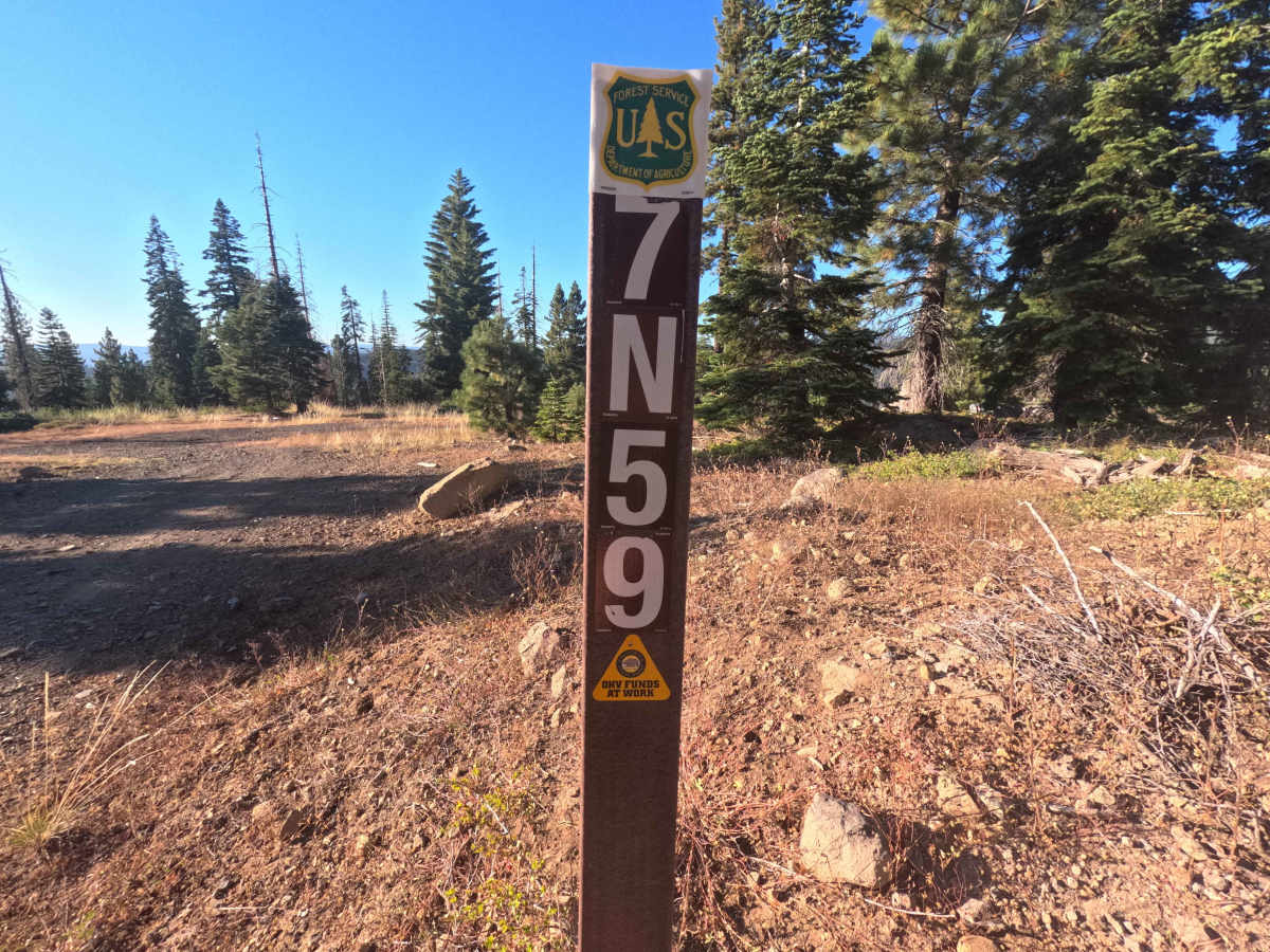
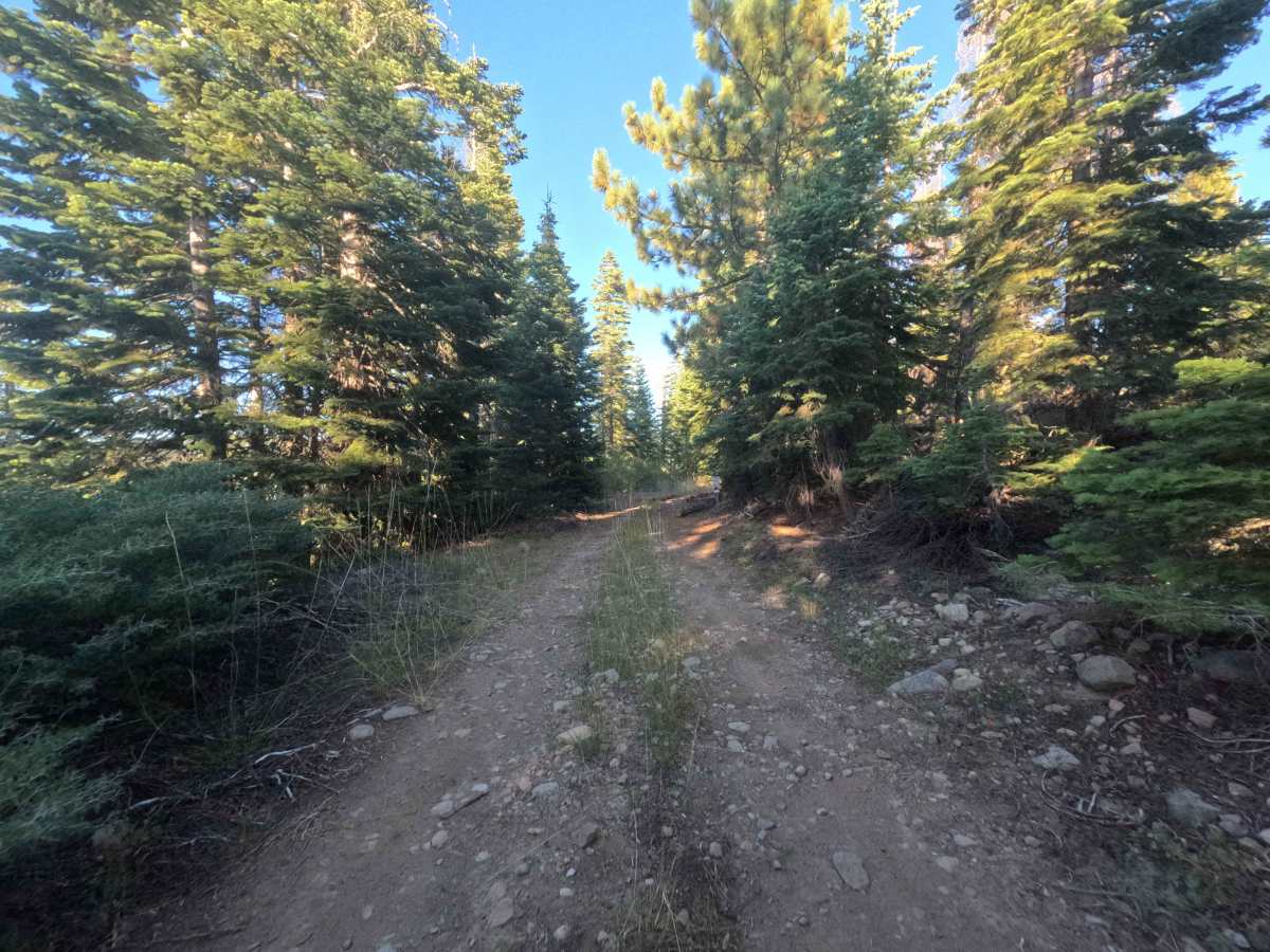
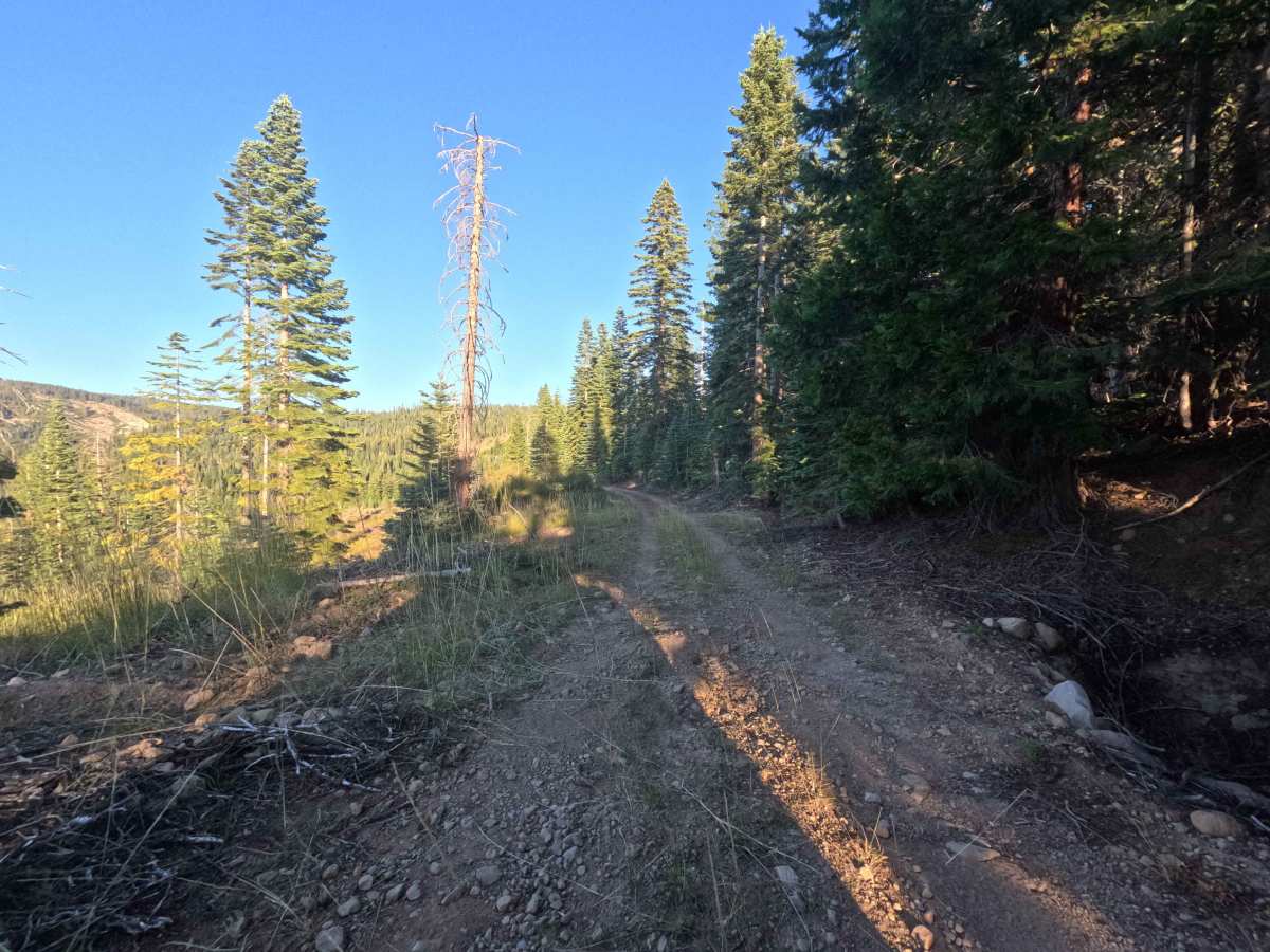
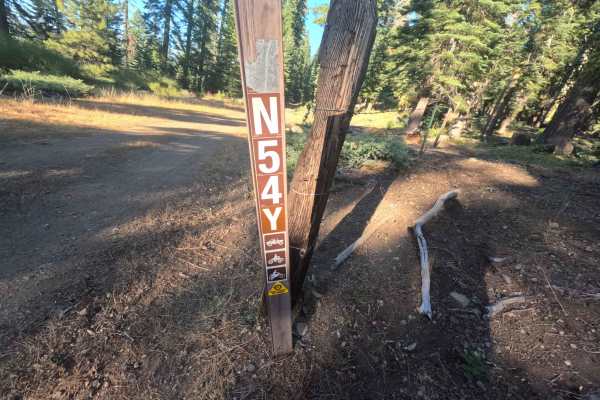
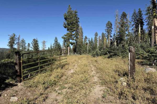
Branching off Forest Service Road 7N09, Forest Service Road 7N54Y functions as a scenic backcountry connector linking forest thoroughfares across public and private timberlands. The corridor begins in a dense mixed-conifer woodland of towering pines and firs within the Stanislaus National Forest before transitioning into actively managed Sierra Pacific Industries forest tracts. Featuring a well-maintained single-lane roadbed of packed native dirt and crushed rock, the route carries a beginner-friendly difficulty rating of 1. Motorized recreationists and sightseers use this passage to travel between regional trail systems while taking in broad vistas of the adjacent mountain ridges and sunlit valley slopes. The route delivers a peaceful and reliable traverse through the high country, connecting travelers smoothly between main forest corridors.
Difficulty
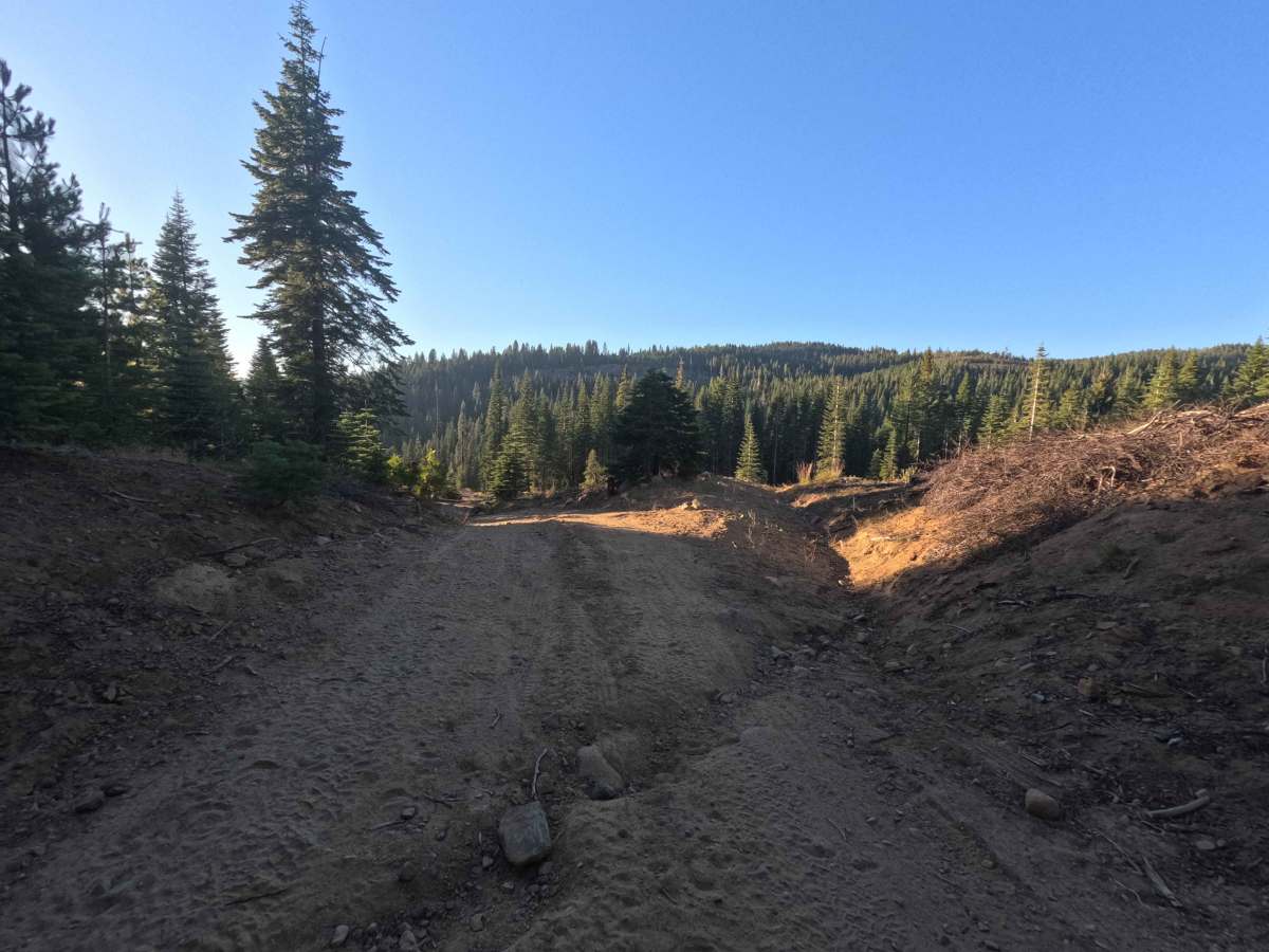
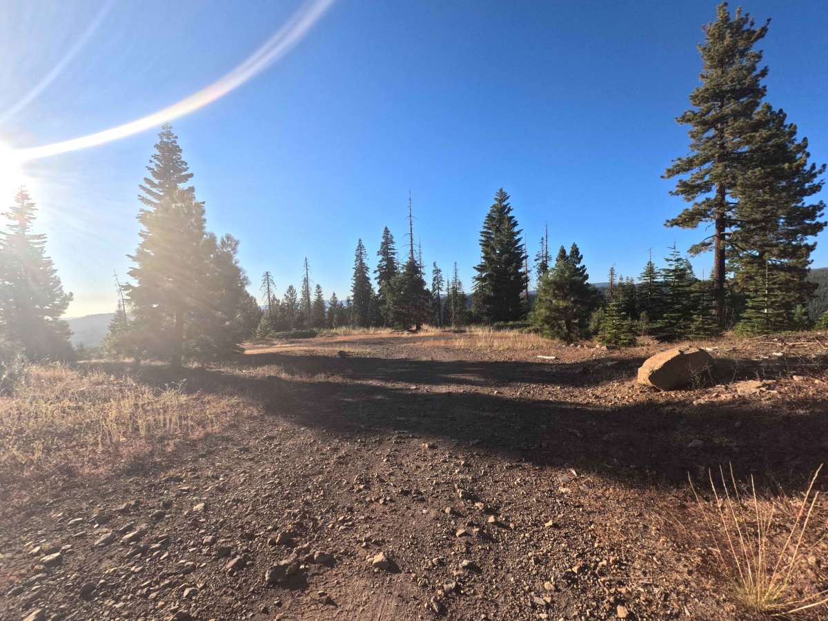
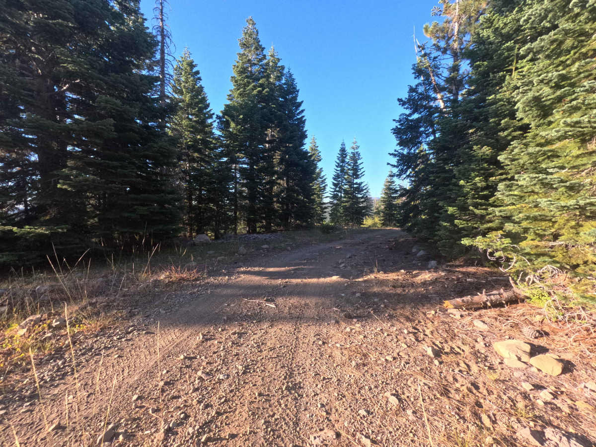
Rated 1, this connector offers an easy, low-stress drive across a well-graded dirt and gravel surface. The roadbed features mild grade transitions, minor drainage dips, and light loose stone along the travel lane with no severe ruts, deep washouts, or high-clearance obstacles. Drivers can maintain a steady, controlled speed while staying centered along the single-lane tread and remaining watchful for oncoming recreational traffic around blind, tree-lined turns.

 Offroad