Trail Overview
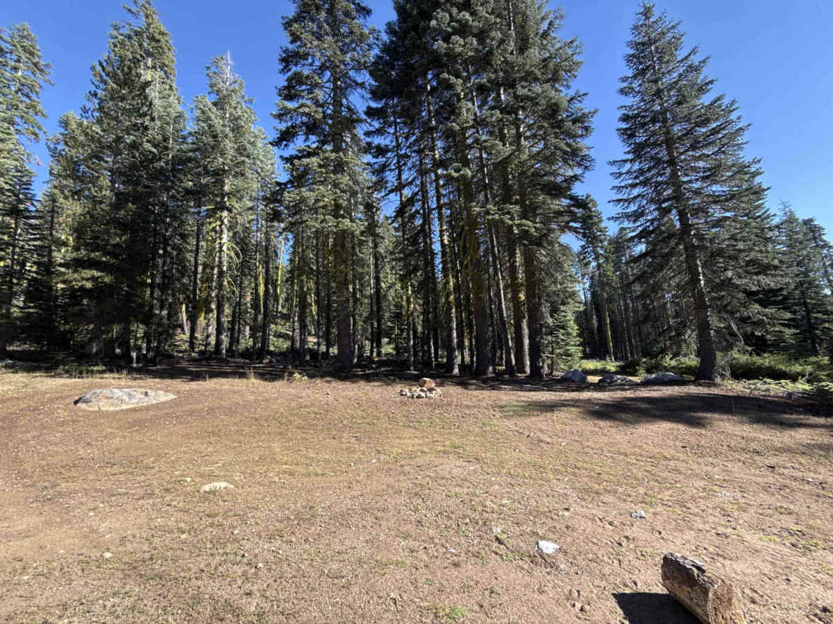
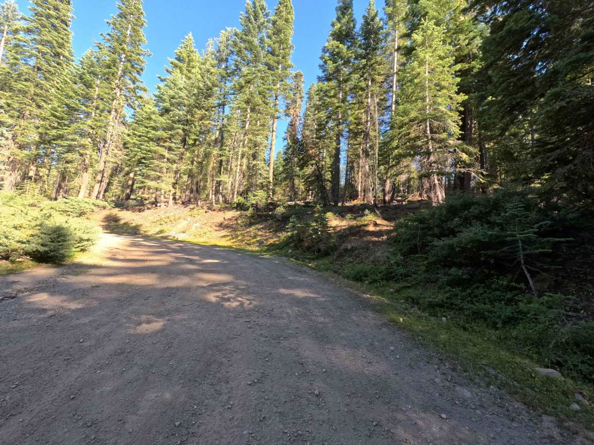
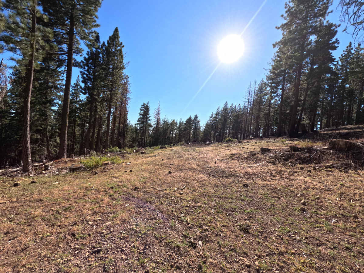
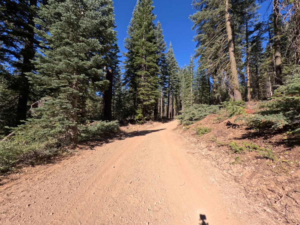
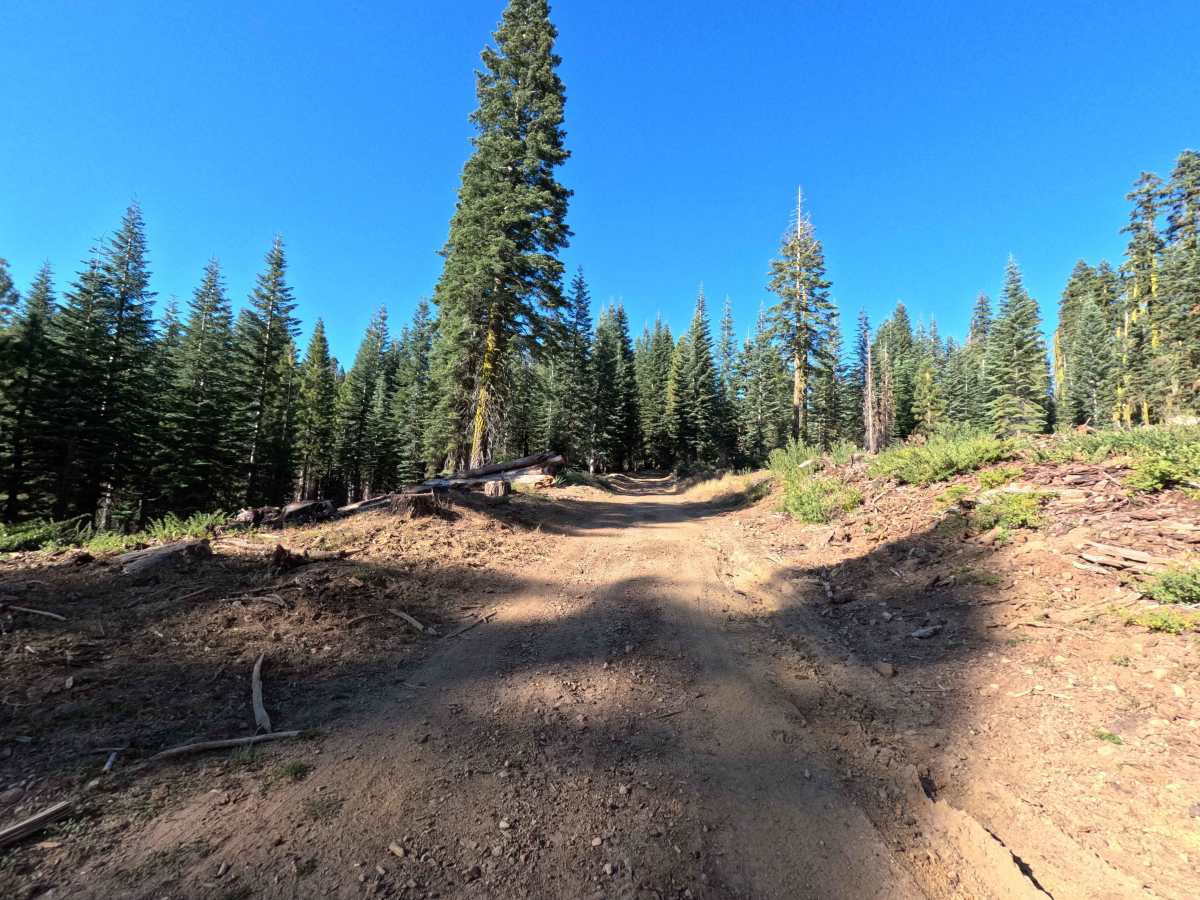
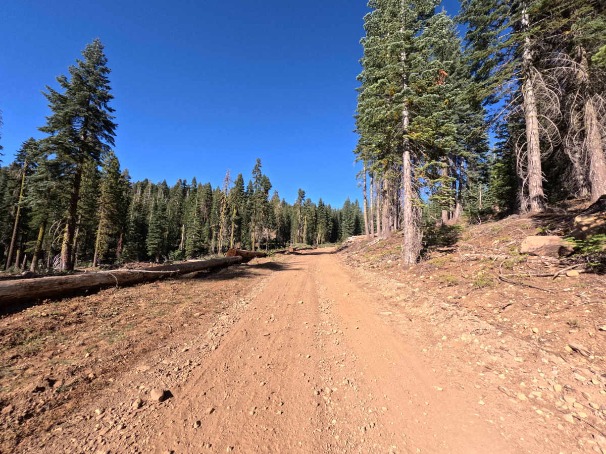
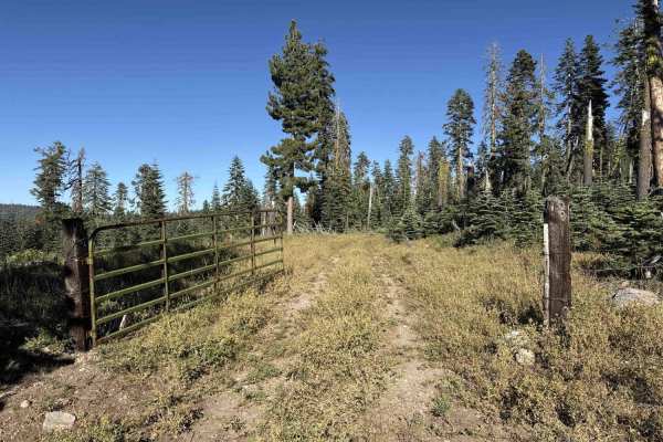
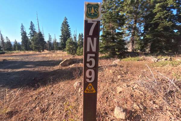
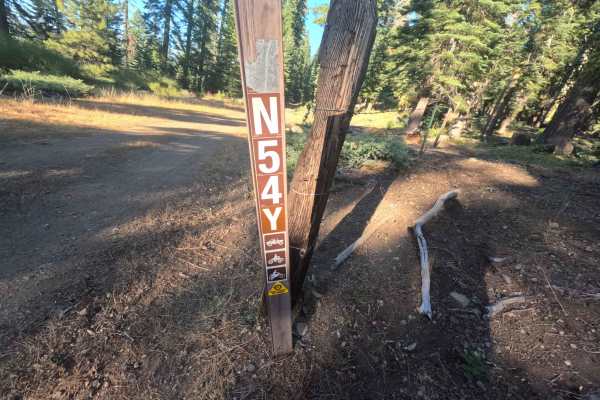
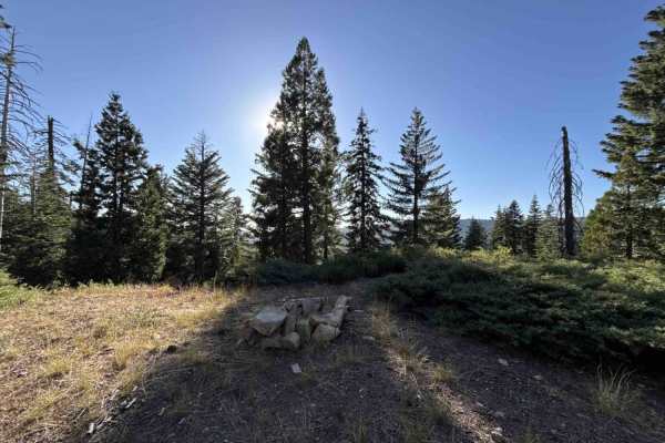
Connecting Forest Road 6N03 with Forest Road 7N23, Forest Service Road 6N97Y serves as an active, dependable backcountry connector within the Stanislaus National Forest. The route climbs across rolling mountain terrain through a mixed-conifer forest of mature pines and firs, passing open timber clearings and active forestry management areas lined with stacked logs. Maintained as a wide, firmly packed native dirt and fine gravel roadway, the trail holds a gentle difficulty rating of 1. While primarily established to support administrative forestry operations and resource management, recreationists regularly travel this passage to transit between main forest arteries and reach an exceptional dispersed campsite situated opposite a tranquil mountain meadow. The roadway provides reliable widths, solid traction, and scenic woodland vistas across the surrounding Sierra Nevada highlands.
Difficulty
Rated 1 out of 10, this corridor offers an easy, low-stress drive across a well-graded earthen foundation. The travel lane features a smooth, hard-packed dirt surface peppered with small loose stones and mild, predictable gradients. There are no deep ruts, exposed bedrock ledges, steep shelves, or clearance obstacles along the entire route. Generous road width allows ample room for passing, though drivers should maintain moderate speeds and remain observant for oncoming forestry equipment or recreation traffic around sweeping bends